

The best hiking routes in Bargerveen
Discover the best walks in Bargerveen. 11 routes on the map, with descriptions, photos and GPX.
Managed by Staatsbosbeheer;particulieren
About Bargerveen
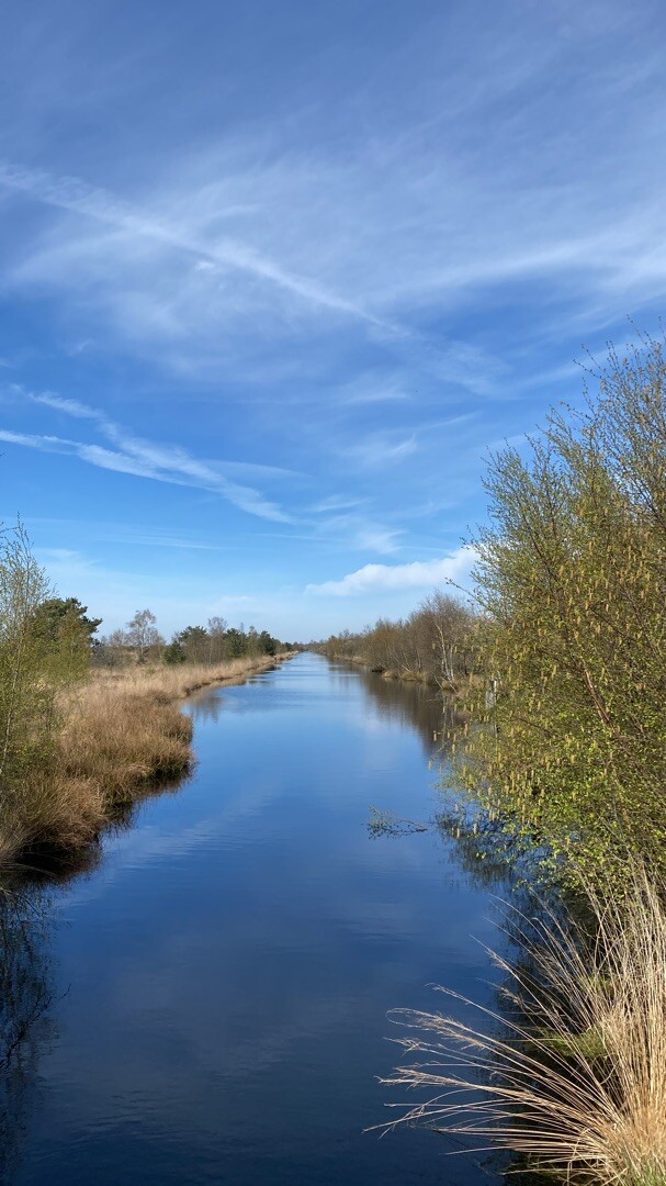
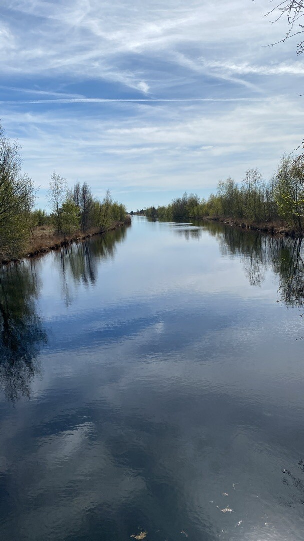
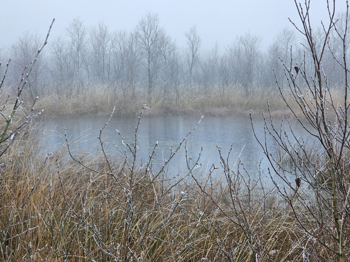
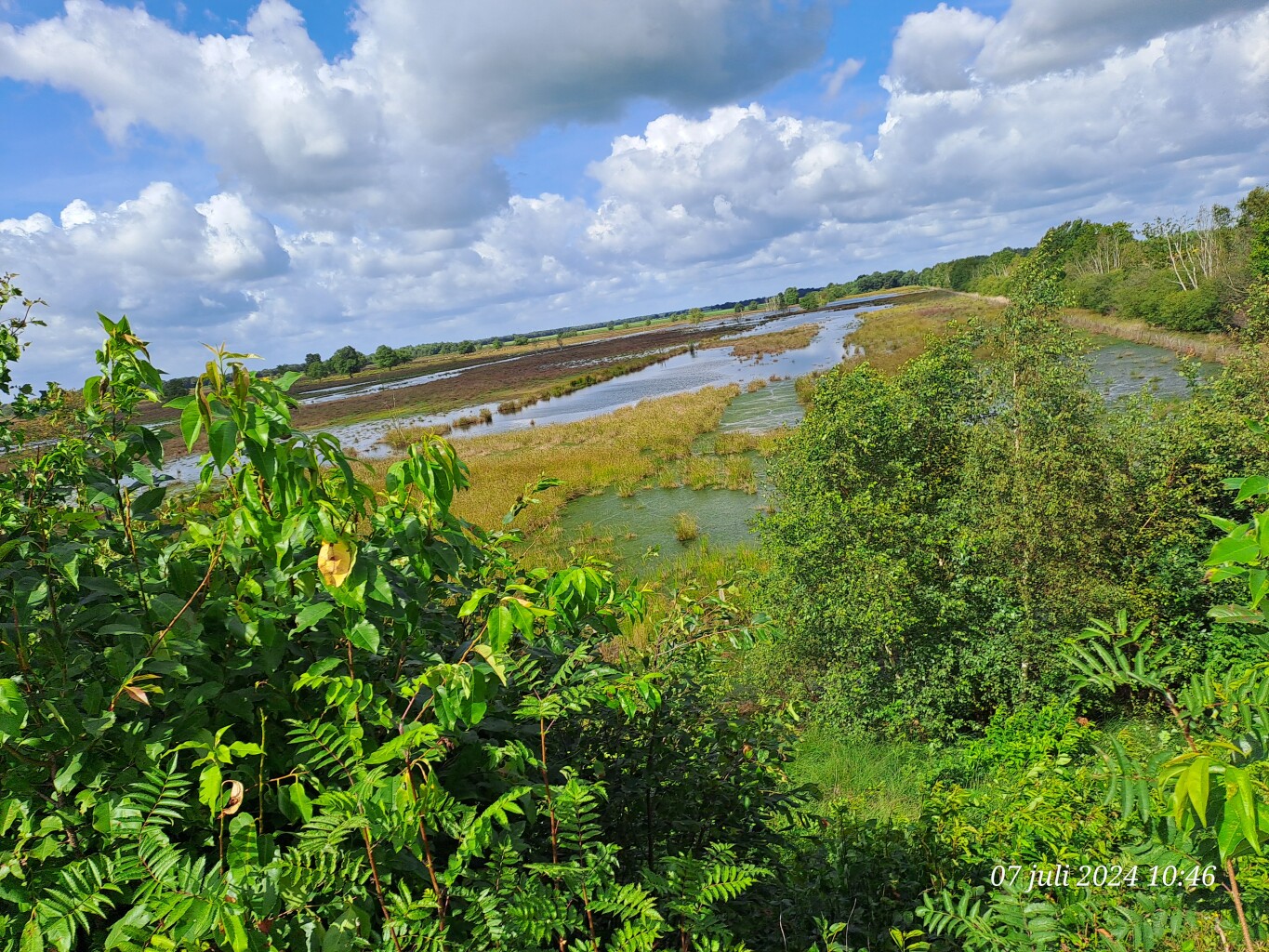
Bargerveen is a flat, highly managed wetland reserve in the southeast corner of Drenthe, representing one of the last remaining fragments of the vast Bourtanger Moor. Unlike the dry pine forests and sandy dunes found in other parts of the province, this landscape is dominated by active, regenerating raised bog, open water pools, and wet heathland. The terrain is divided into distinct sections, where you will find a contrast between the wetter, peat-forming central basins and the drier, grassy dikes that contain them.
Read more
About Bargerveen
Bargerveen is a flat, highly managed wetland reserve in the southeast corner of Drenthe, representing one of the last remaining fragments of the vast Bourtanger Moor. Unlike the dry pine forests and sandy dunes found in other parts of the province, this landscape is dominated by active, regenerating raised bog, open water pools, and wet heathland. The terrain is divided into distinct sections, where you will find a contrast between the wetter, peat-forming central basins and the drier, grassy dikes that contain them.
Read moreBargerveen is a flat, highly managed wetland reserve in the southeast corner of Drenthe, representing one of the last remaining fragments of the vast Bourtanger Moor. Unlike the dry pine forests and sandy dunes found in other parts of the province, this landscape is dominated by active, regenerating raised bog, open water pools, and wet heathland. The terrain is divided into distinct sections, where you will find a contrast between the wetter, peat-forming central basins and the drier, grassy dikes that contain them.
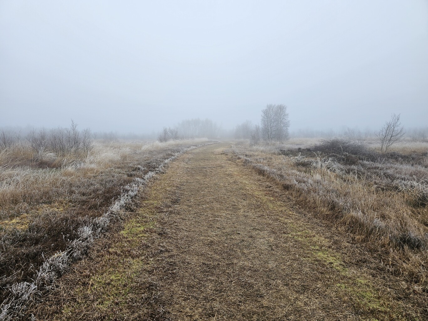
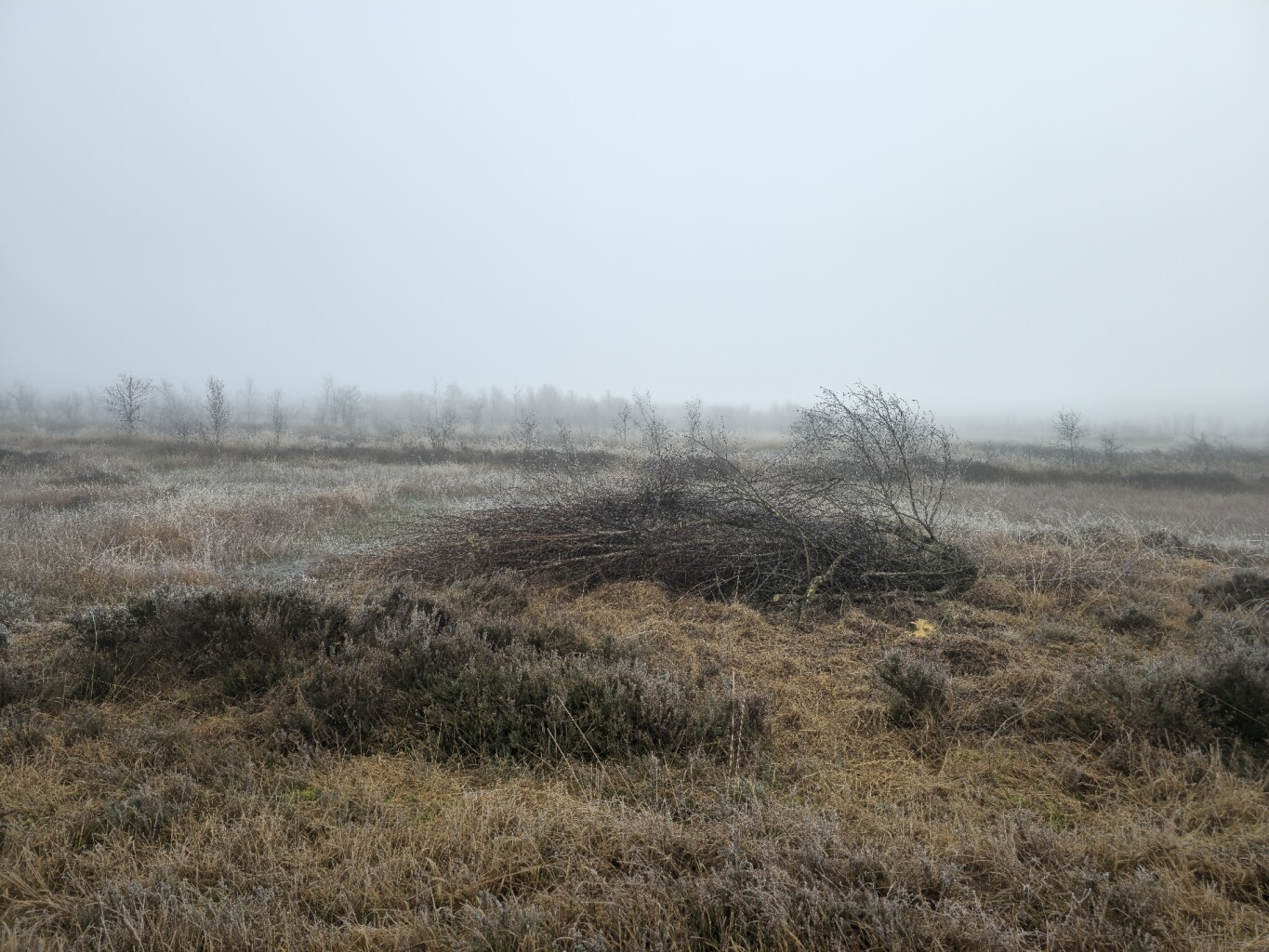
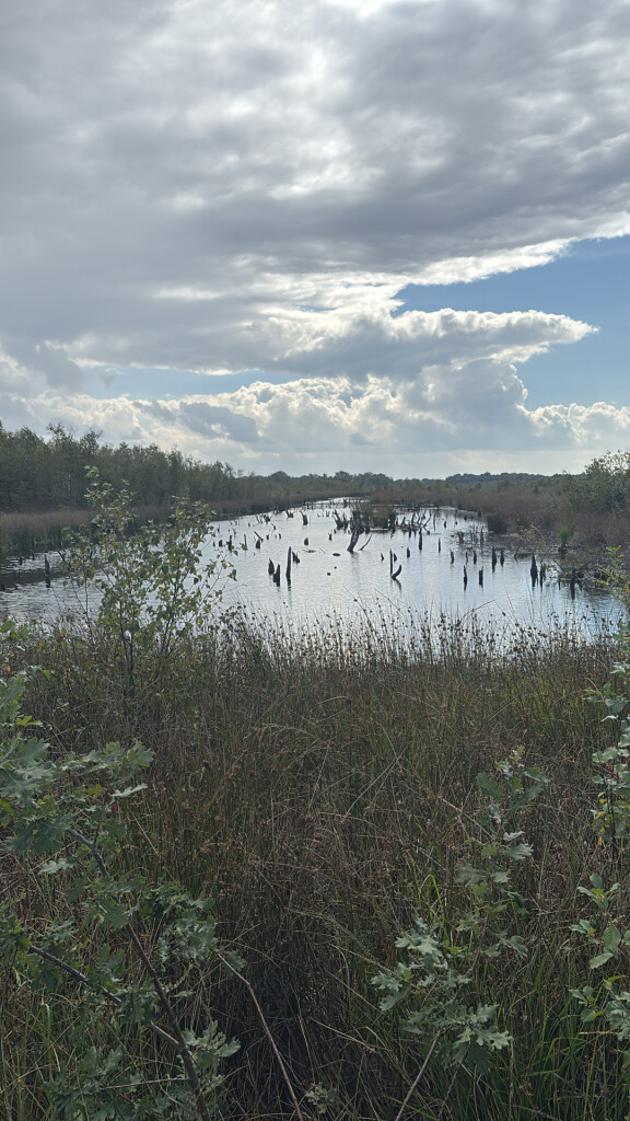
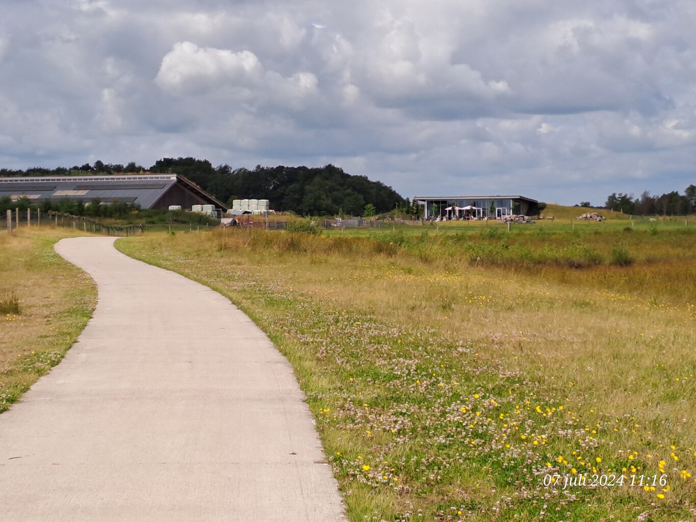
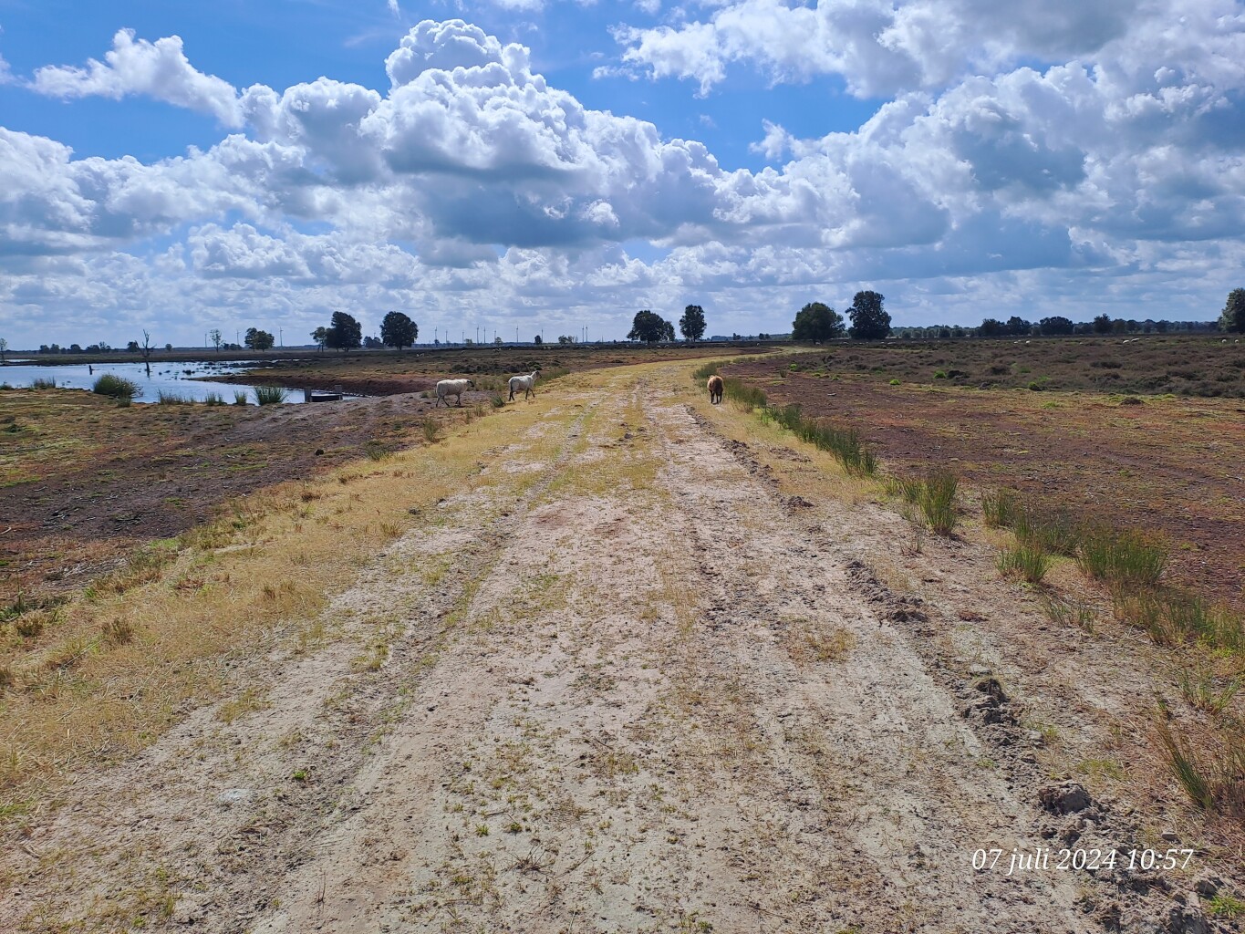
Walking here requires choosing between two distinct underfoot experiences. The inner paths often consist of narrow, damp peat tracks and wooden boardwalks designed to keep you above the sodden moss, while the outer perimeter relies on wide, unpaved sandy service roads and grassy dikes. You will notice high water levels, active pumping stations, and sheep grazing on the dikes, which are all part of the ongoing ecological restoration to keep the peat wet and prevent birch trees from taking over the open landscape.
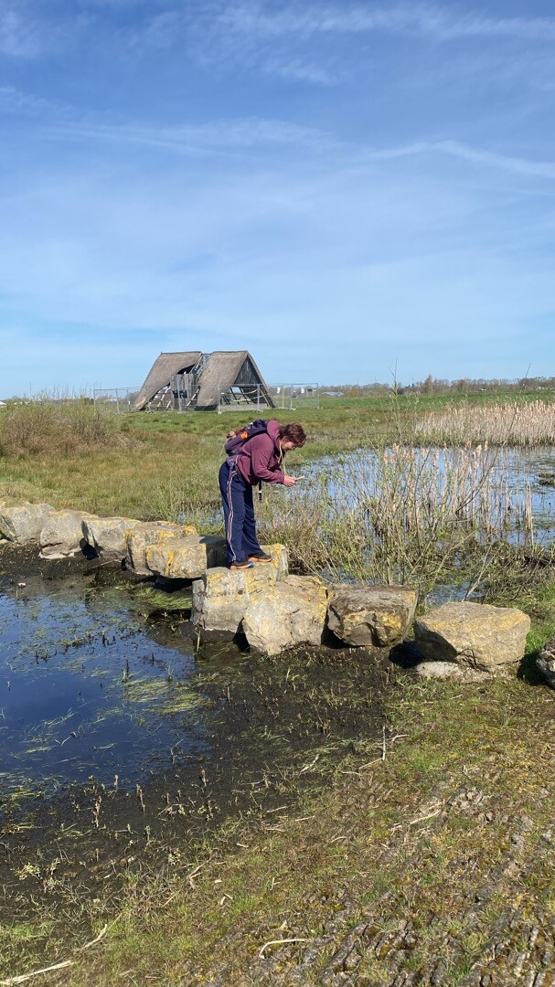
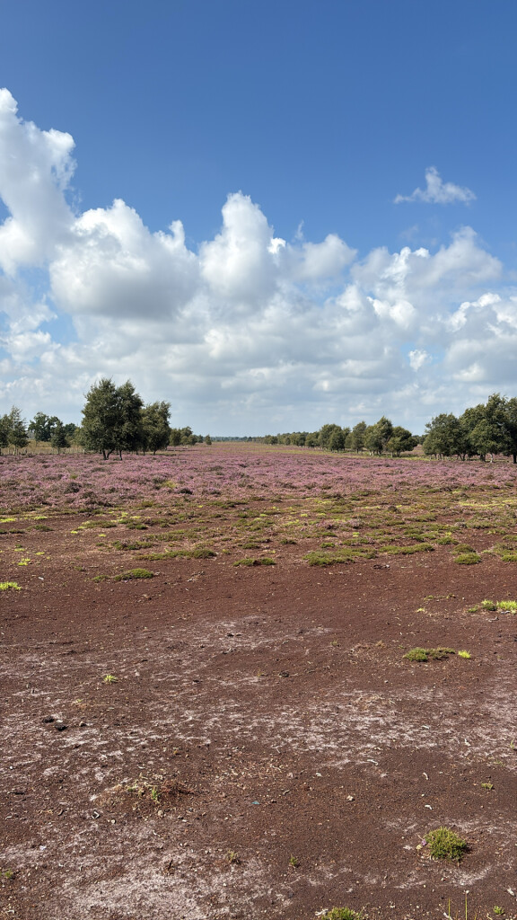
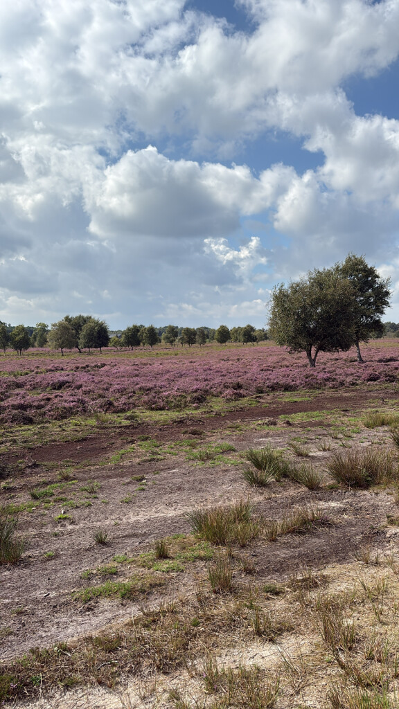
In August, the wet heathland sections turn purple, contrasting with the dark brown peat pools and grey cotton-grass tufts. Bargerveen is entirely flat, offering no hills or forest canopy for shelter, which makes the walking paths highly exposed to the elements. The area is well-known among birdwatchers, particularly around the larger open water bodies, so the designated viewing points and the main access paths near the sheep shed can be busier than the quiet, grassy boundary trails.
Hiking routes in Bargerveen (11)
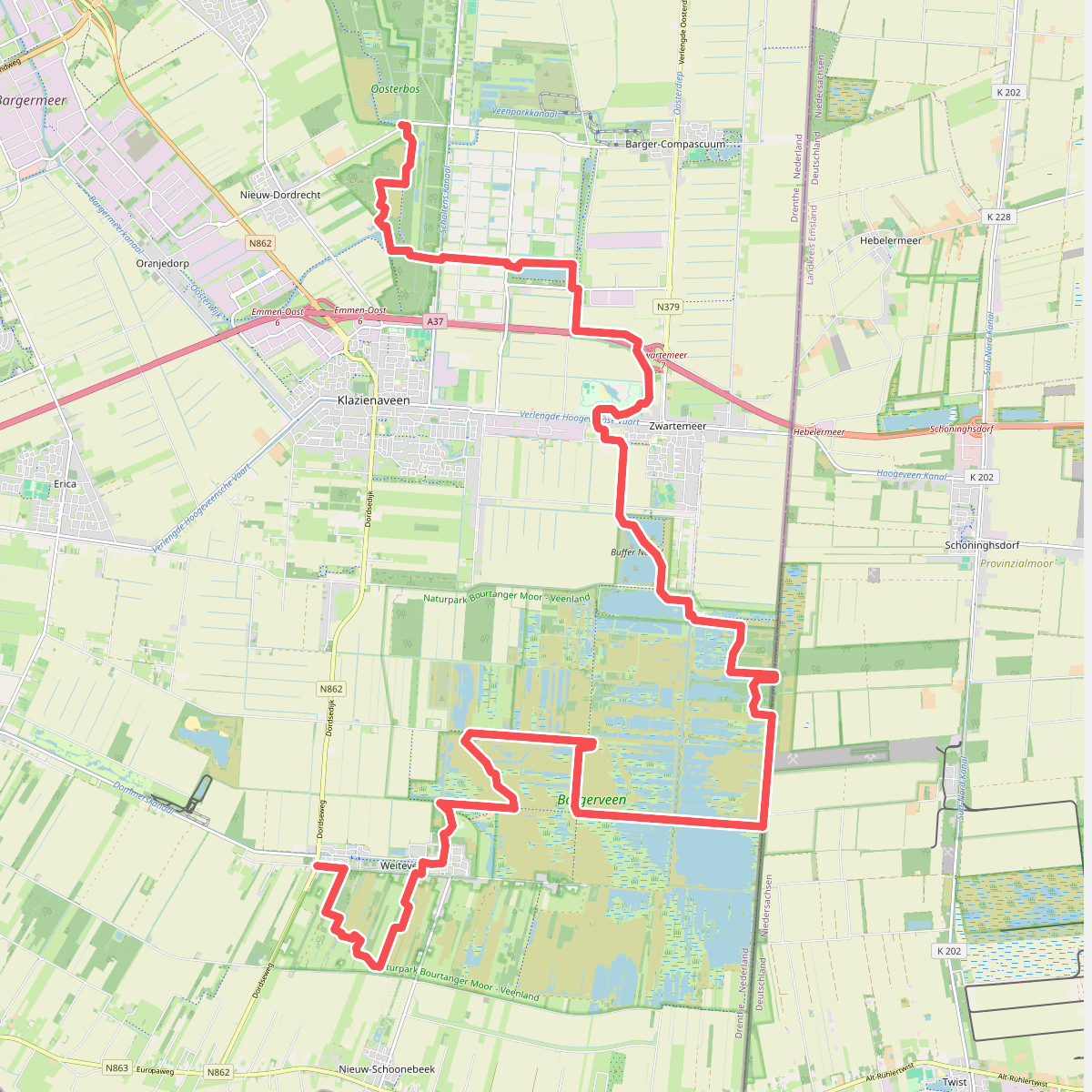
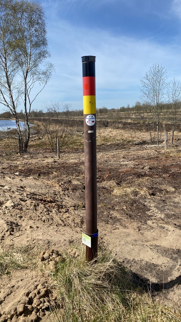
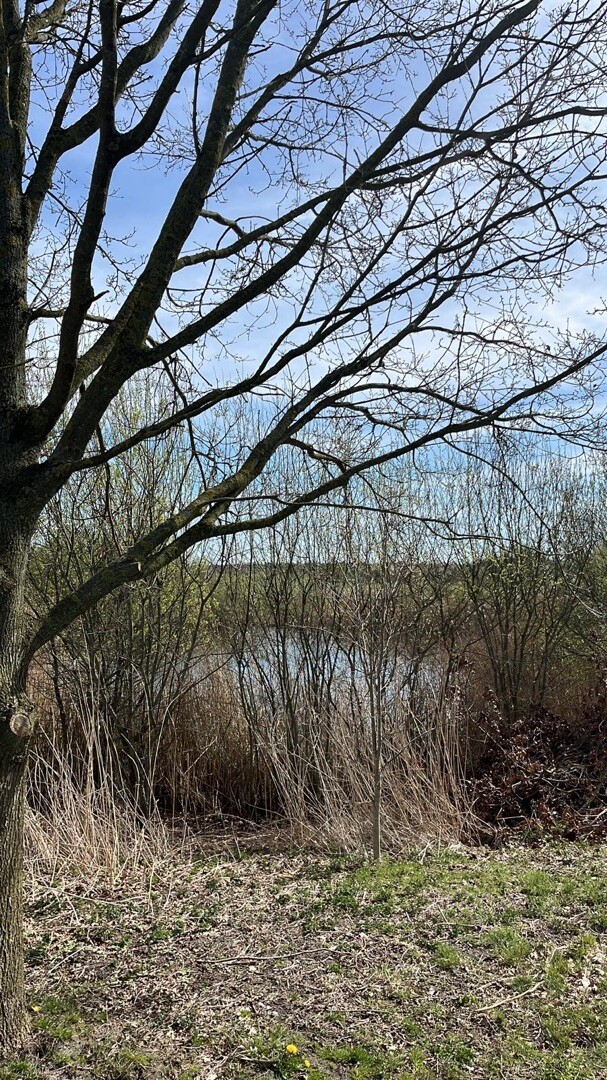
#1. Nieuw-Dordrecht - Weiteveen · Noaberpad etappe 7
Klazienaveen-Noord,Klazienaveen,Barger-Compascuum,Zwartemeer,Twist,Weiteveen
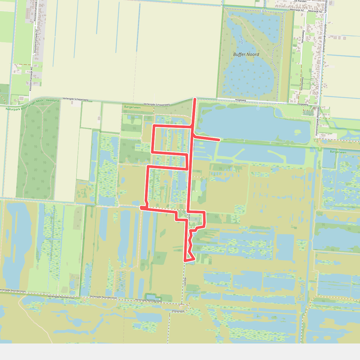
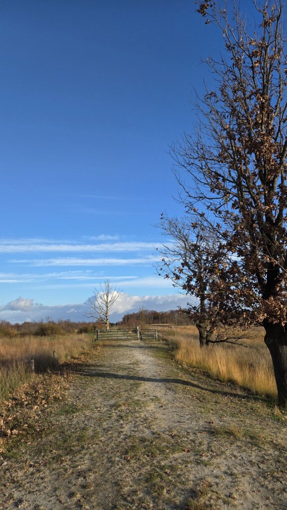

#2. Vogelrondje Bargerveen
Zwartemeer,Klazienaveen
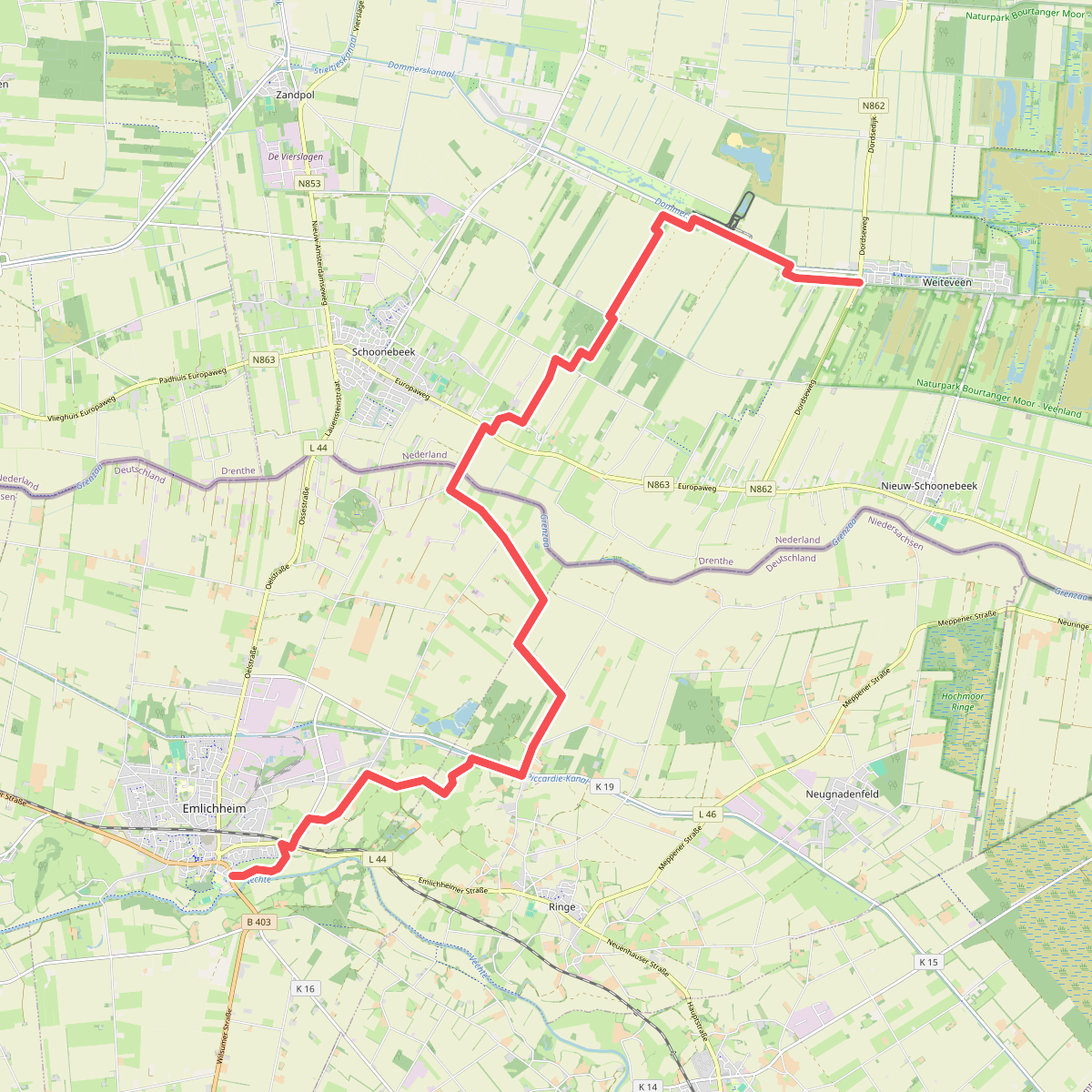
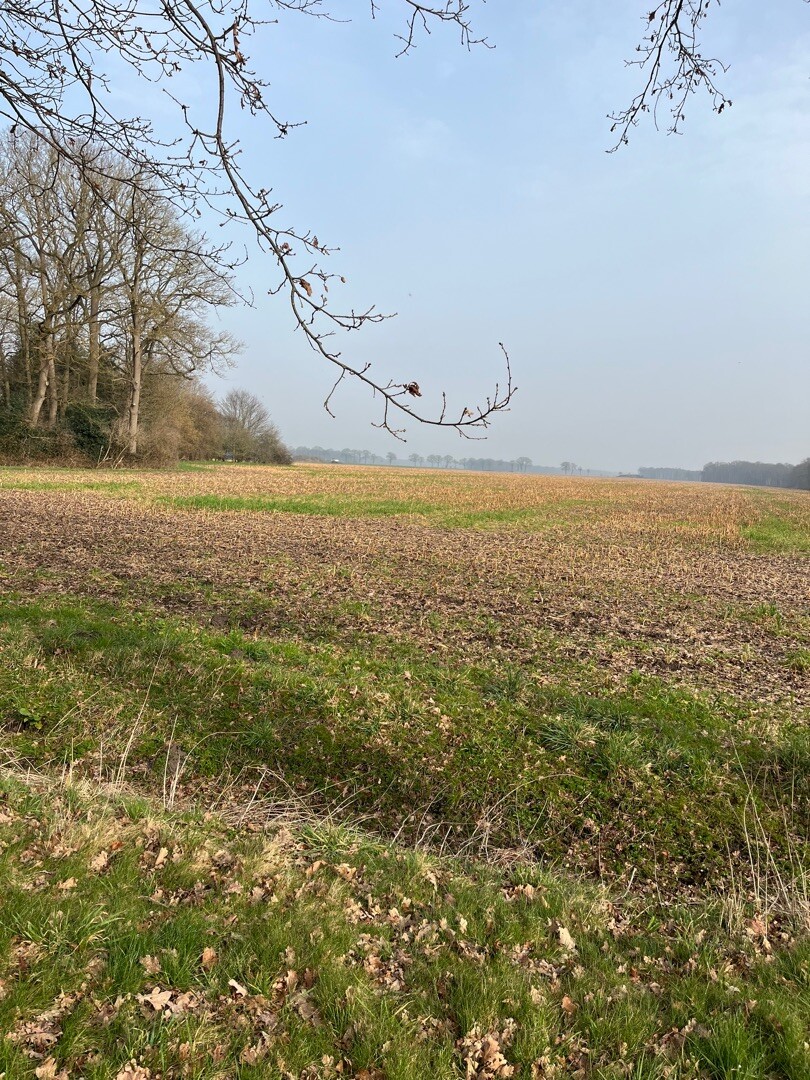
#3. Weiteveen - Emlichheim · Noaberpad etappe 8
Schoonebeek,Erica,Weiteveen
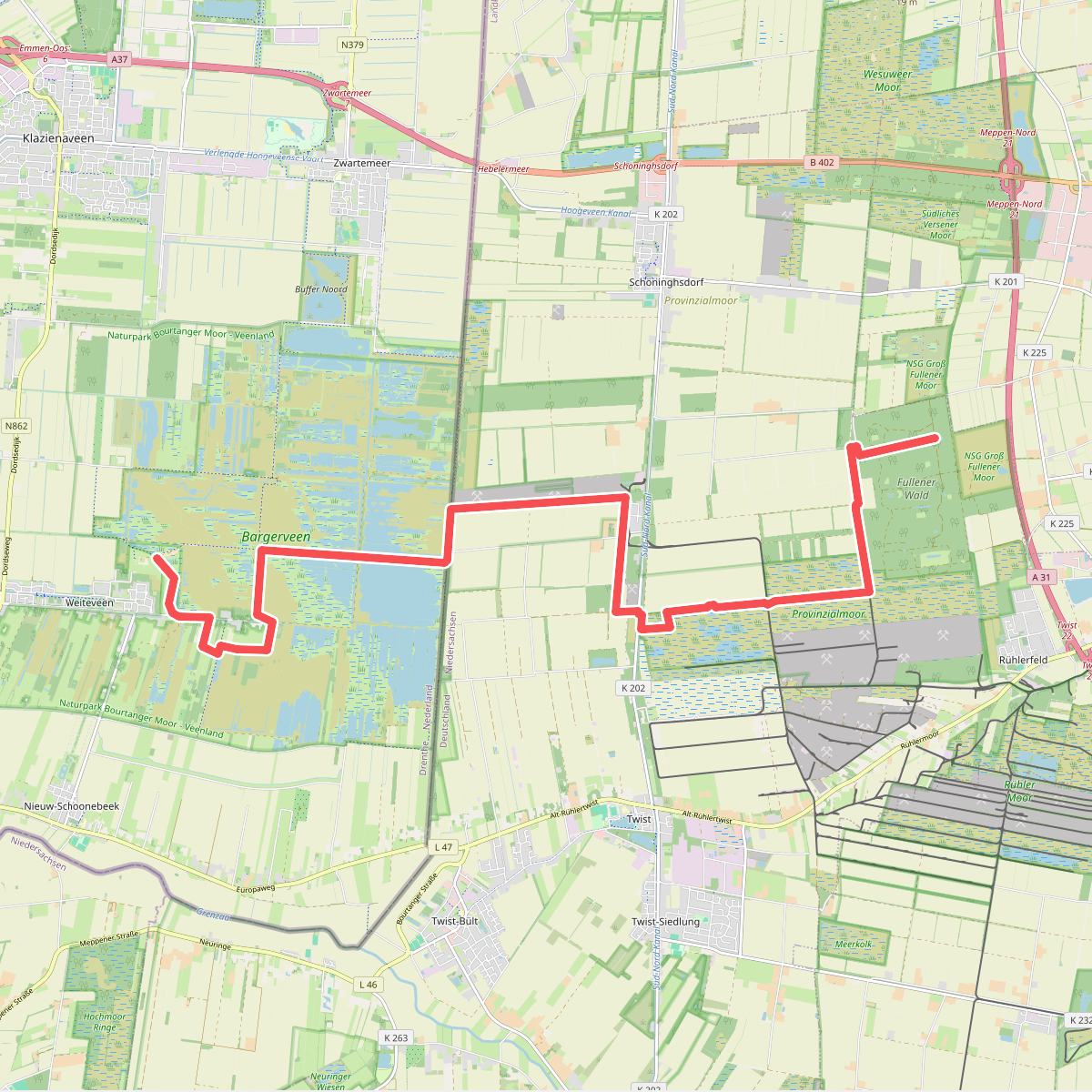
#4. Abzw. Rühlerfeld - Abzw. Weiteveen · Hondsrugpad/Hunenweg etappe 11
Weiteveen
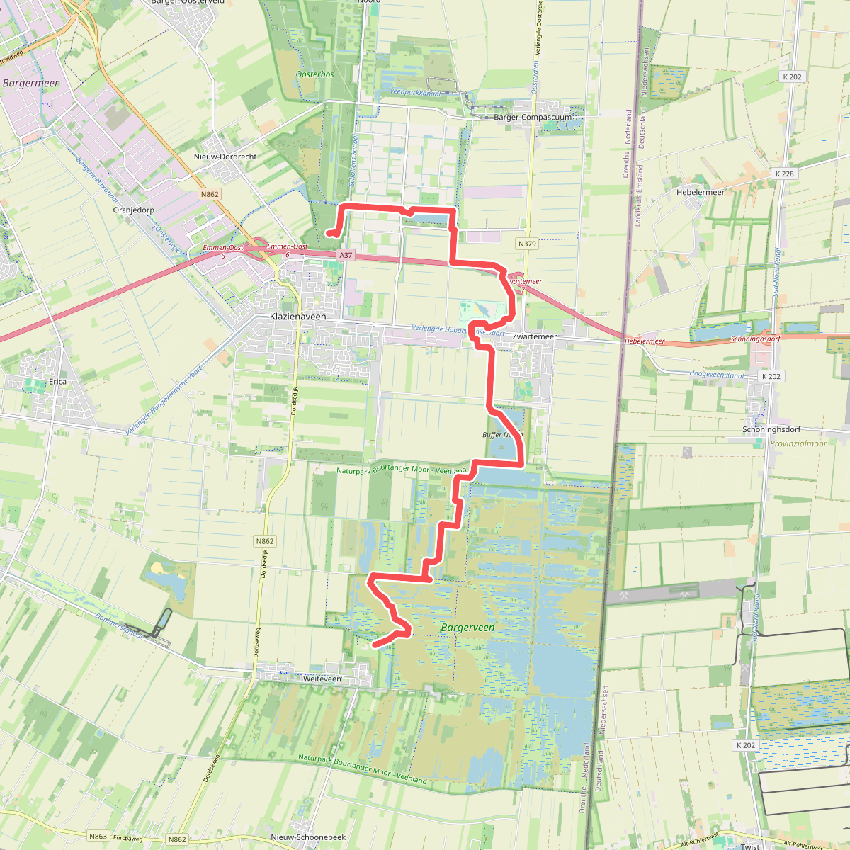
#5. Abzw. Weiteveen - Abzw. Klazienaveen · Hondsrugpad/Hunenweg etappe 12
Klazienaveen,Zwartemeer,Weiteveen
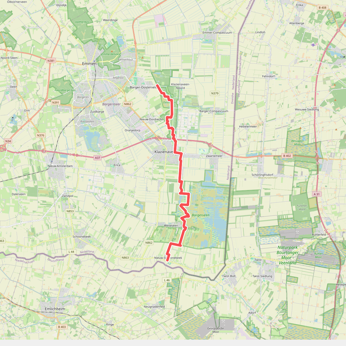
#6. Barger-Oosterveld naar Nieuw-Schoonebeek "Het moeras" · NederRandpad etappe 4
Nieuw-Schoonebeek,Weiteveen,Klazienaveen,Nieuw-Dordrecht,Klazienaveen-Noord,Emmen
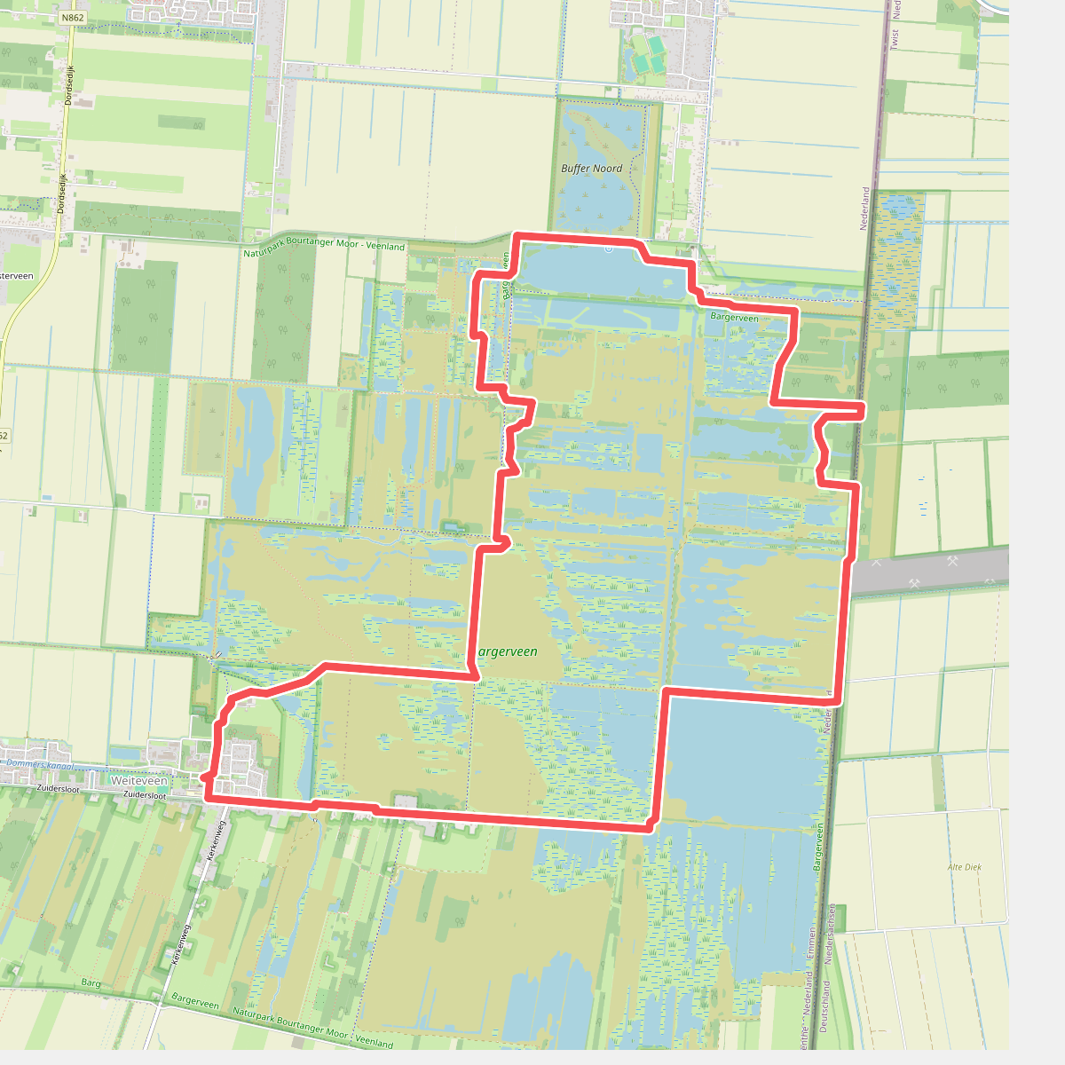
#7. Door het bargerveen
Zwartemeer,Weiteveen
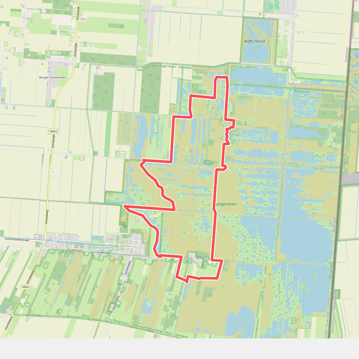
#8. Het Unieke Bargerveen
Weiteveen,Zwartemeer,Klazienaveen
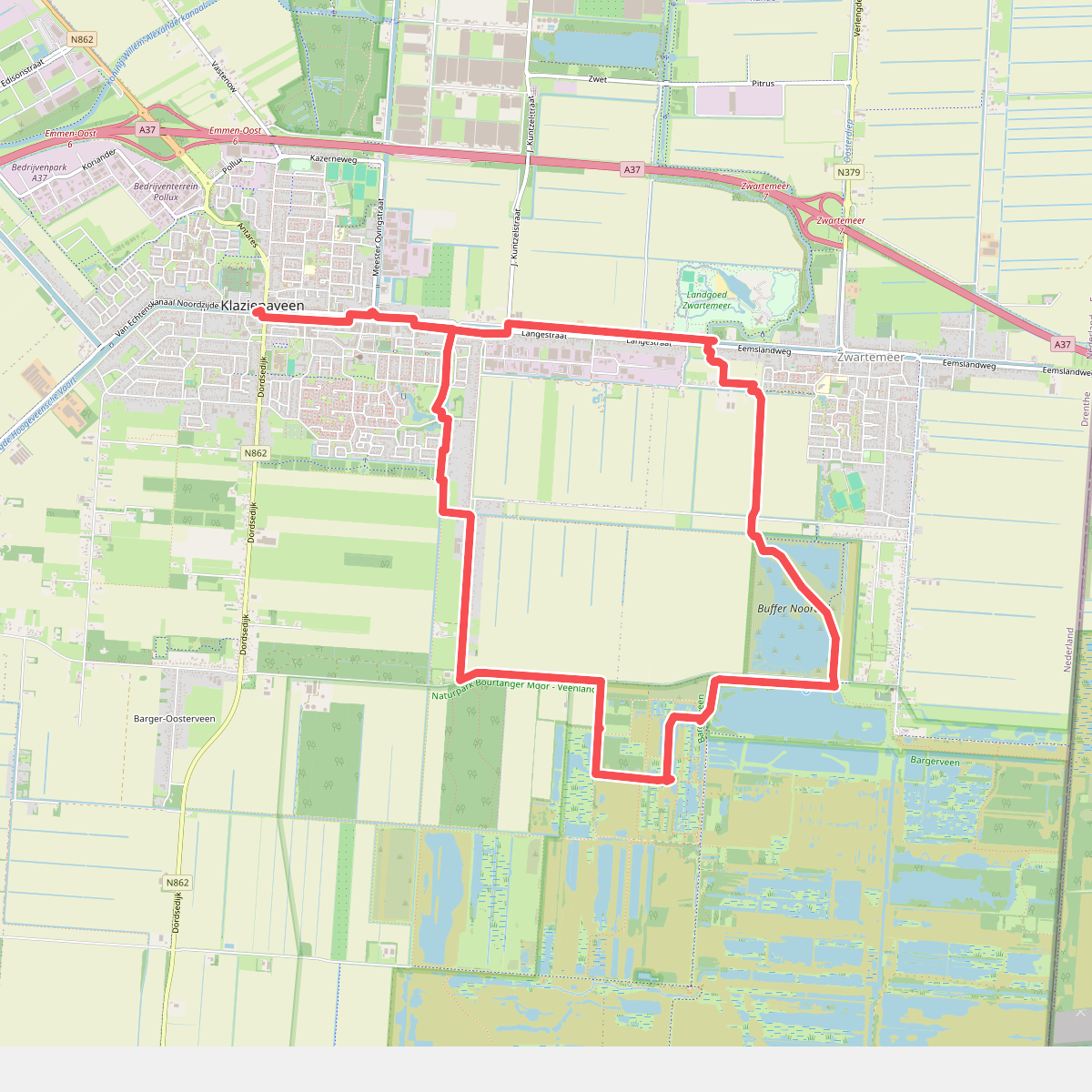
#9. Hubroute Klazienaveen (14 km)
Klazienaveen,Zwartemeer
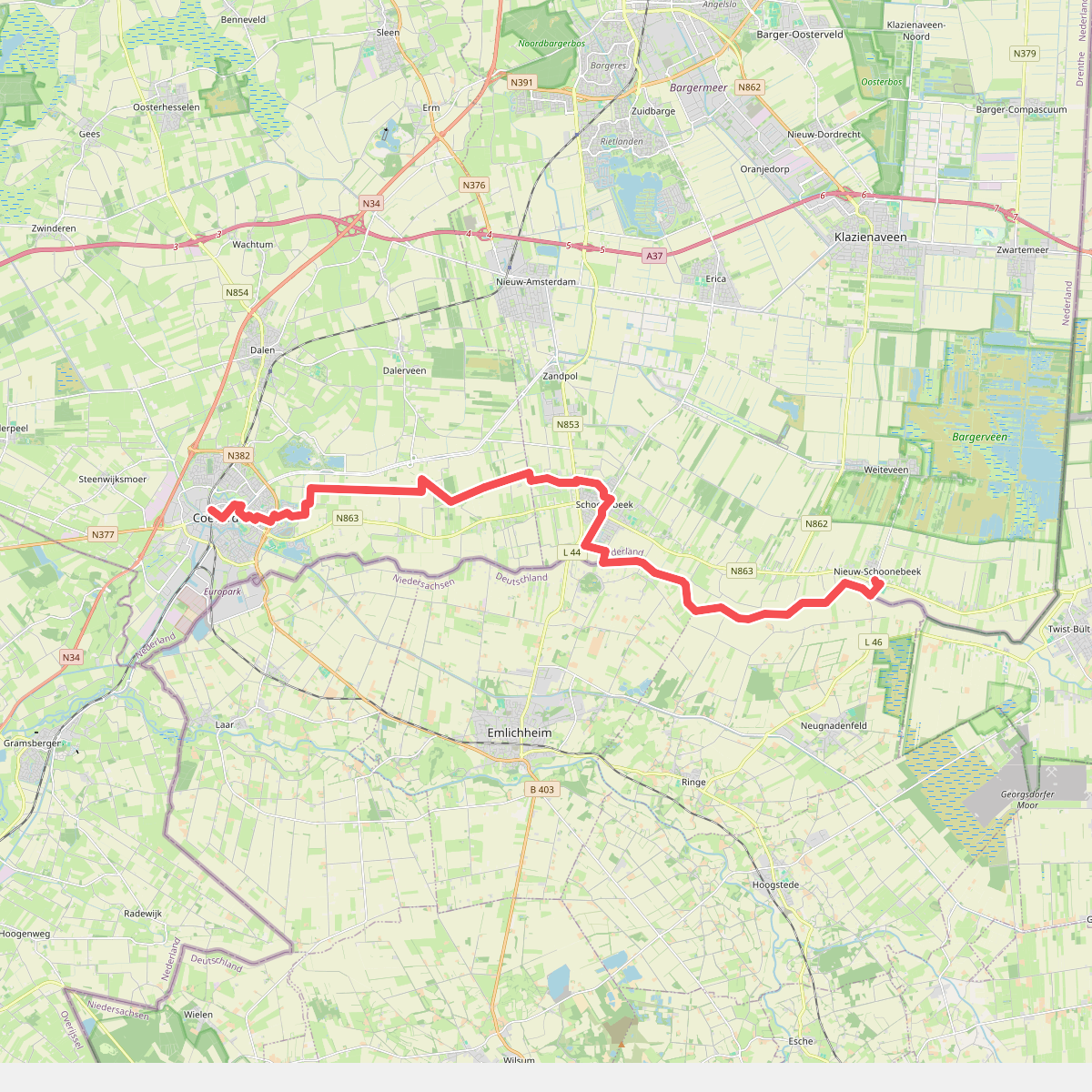
#10. Nieuw Schoonebeek naar Coevorden - "An de raand" · NederRandpad etappe 5
Coevorden,Dalen,Stieltjeskanaal,Schoonebeek,Nieuw-Schoonebeek
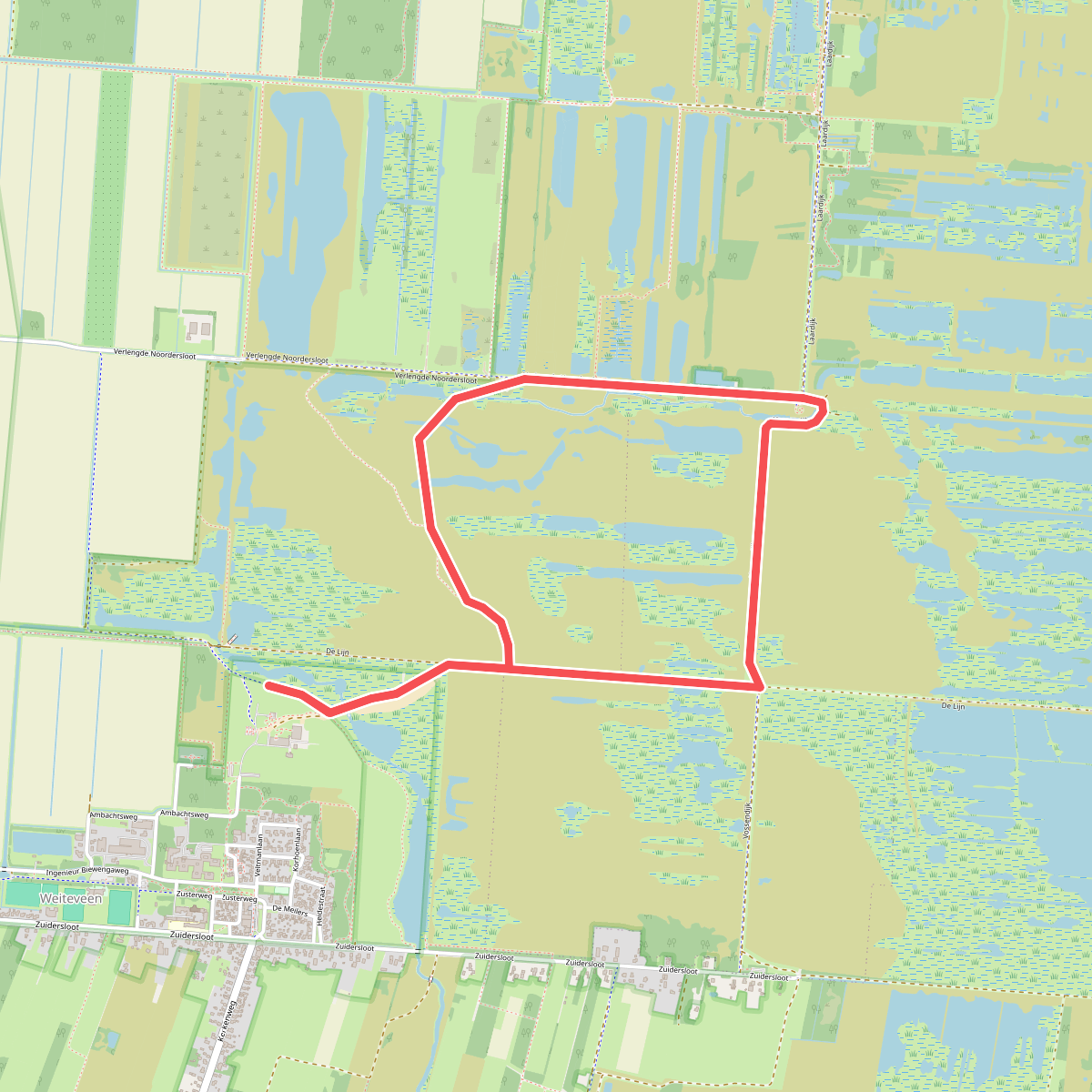
#11. Voorbeeld Route
Weiteveen,Klazienaveen



