The best hiking routes in Austre Tiplingan / Luvlie Diehpell landskapsvernområde
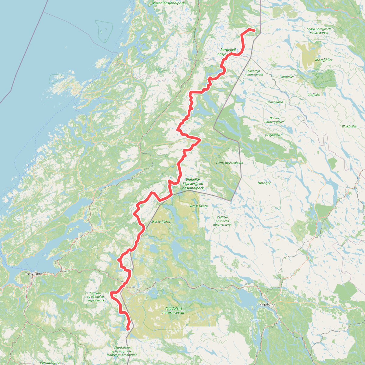
Discover the best walks in Austre Tiplingan / Luvlie Diehpell landskapsvernområde. 1 routes on the map, with descriptions, photos and GPX.
Managed by Byrkijen nasjovnaalpaarhkeståvroe/Børgefjell nasjonalparkstyre
About Austre Tiplingan / Luvlie Diehpell landskapsvernområde
Austre Tiplingan / Luvlie Diehpell landskapsvernområde offers a transition between the lower forested valleys and the high, rocky alpine terrain of the neighboring Børgefjell. This protected landscape is characterized by wide, gently sloping mountain valleys, extensive birch woodlands, and open peatlands. Unlike the rugged, jagged peaks further west, this area presents a softer, more rounded topography where low ridges separate shallow lake basins and marshy depressions.
Read more
About Austre Tiplingan / Luvlie Diehpell landskapsvernområde
Austre Tiplingan / Luvlie Diehpell landskapsvernområde offers a transition between the lower forested valleys and the high, rocky alpine terrain of the neighboring Børgefjell. This protected landscape is characterized by wide, gently sloping mountain valleys, extensive birch woodlands, and open peatlands. Unlike the rugged, jagged peaks further west, this area presents a softer, more rounded topography where low ridges separate shallow lake basins and marshy depressions.
Read moreAustre Tiplingan / Luvlie Diehpell landskapsvernområde offers a transition between the lower forested valleys and the high, rocky alpine terrain of the neighboring Børgefjell. This protected landscape is characterized by wide, gently sloping mountain valleys, extensive birch woodlands, and open peatlands. Unlike the rugged, jagged peaks further west, this area presents a softer, more rounded topography where low ridges separate shallow lake basins and marshy depressions.
Underfoot, walkers will find a mix of soft peat, damp mossy ground, and sections of dry, stony heath. There are no built boardwalks or paved paths here; instead, navigation relies on natural terrain features, faint reindeer paths, and occasional muddy tracks. The landscape is shaped by active reindeer husbandry, meaning you will frequently encounter low wire fences and corrals rather than tourist infrastructure. Water is a constant presence, with numerous small streams and shallow pools cutting through the willow scrub, requiring careful route-finding and sturdy, water-resistant footwear.
By August, the dwarf birch and blueberry shrubs turn a deep rust-red, contrasting with the grey willow thickets that line the watercourses. This is a quiet, working landscape where the lack of signposted trails demands basic map and compass skills. It is best suited for those who prefer navigating open, undulating terrain over climbing steep, rocky summits.