The best hiking routes in Area naturale protetta di interesse locale Monti della Calvana
Discover the best walks in Area naturale protetta di interesse locale Monti della Calvana. 6 routes on the map, with descriptions, photos and GPX.
About Area naturale protetta di interesse locale Monti della Calvana
The Area naturale protetta di interesse locale Monti della Calvana offers a distinct walking landscape dominated by bare, windswept limestone ridges and open pastures, contrasting sharply with the forested Apennine slopes nearby. Underfoot, walkers will mostly encounter stony, uneven dirt tracks and loose limestone gravel that require stable footwear. The lack of surface water is a defining feature of these hills, as rainwater quickly disappears into the subterranean karst network, leaving the high ridges dry and exposed.
Read more
About Area naturale protetta di interesse locale Monti della Calvana
The Area naturale protetta di interesse locale Monti della Calvana offers a distinct walking landscape dominated by bare, windswept limestone ridges and open pastures, contrasting sharply with the forested Apennine slopes nearby. Underfoot, walkers will mostly encounter stony, uneven dirt tracks and loose limestone gravel that require stable footwear. The lack of surface water is a defining feature of these hills, as rainwater quickly disappears into the subterranean karst network, leaving the high ridges dry and exposed.
Read moreThe Area naturale protetta di interesse locale Monti della Calvana offers a distinct walking landscape dominated by bare, windswept limestone ridges and open pastures, contrasting sharply with the forested Apennine slopes nearby. Underfoot, walkers will mostly encounter stony, uneven dirt tracks and loose limestone gravel that require stable footwear. The lack of surface water is a defining feature of these hills, as rainwater quickly disappears into the subterranean karst network, leaving the high ridges dry and exposed.
As you walk, the vegetation reveals this geological structure. The lower slopes feature dense oak and hornbeam woods, which give way on the higher ridges to vast, open grasslands. These meadows are kept open by active grazing, and in May, walkers can observe wild orchids blooming among the rocks. The terrain is characterized by gentle, rounded summits rather than sharp peaks, offering wide views of the surrounding valleys without demanding technical climbing skills.
This area is ideal for those who prefer open, sun-exposed ridges over shaded forest paths. Because there is very little natural shade on the higher elevations, preparation for sun exposure is essential. The trails are generally quiet, though the main routes near the access points can see more local foot traffic on weekends.
Hiking routes in Area naturale protetta di interesse locale Monti della Calvana (6)
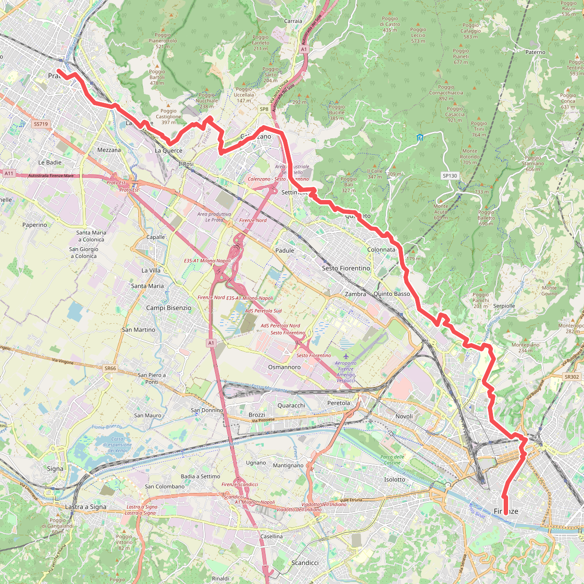
#1. Il Cammino di San Jacopo - Tappa 1
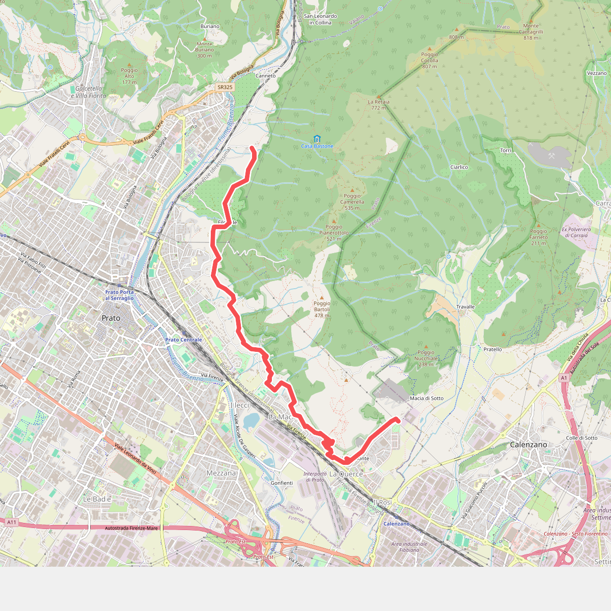
#2. Percorso pedecollinare
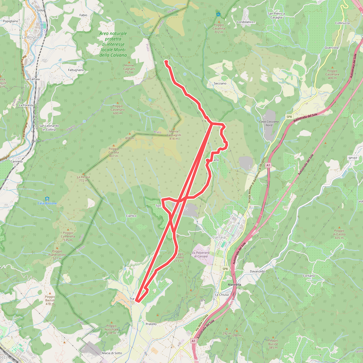
#3. Sentiero della Pace
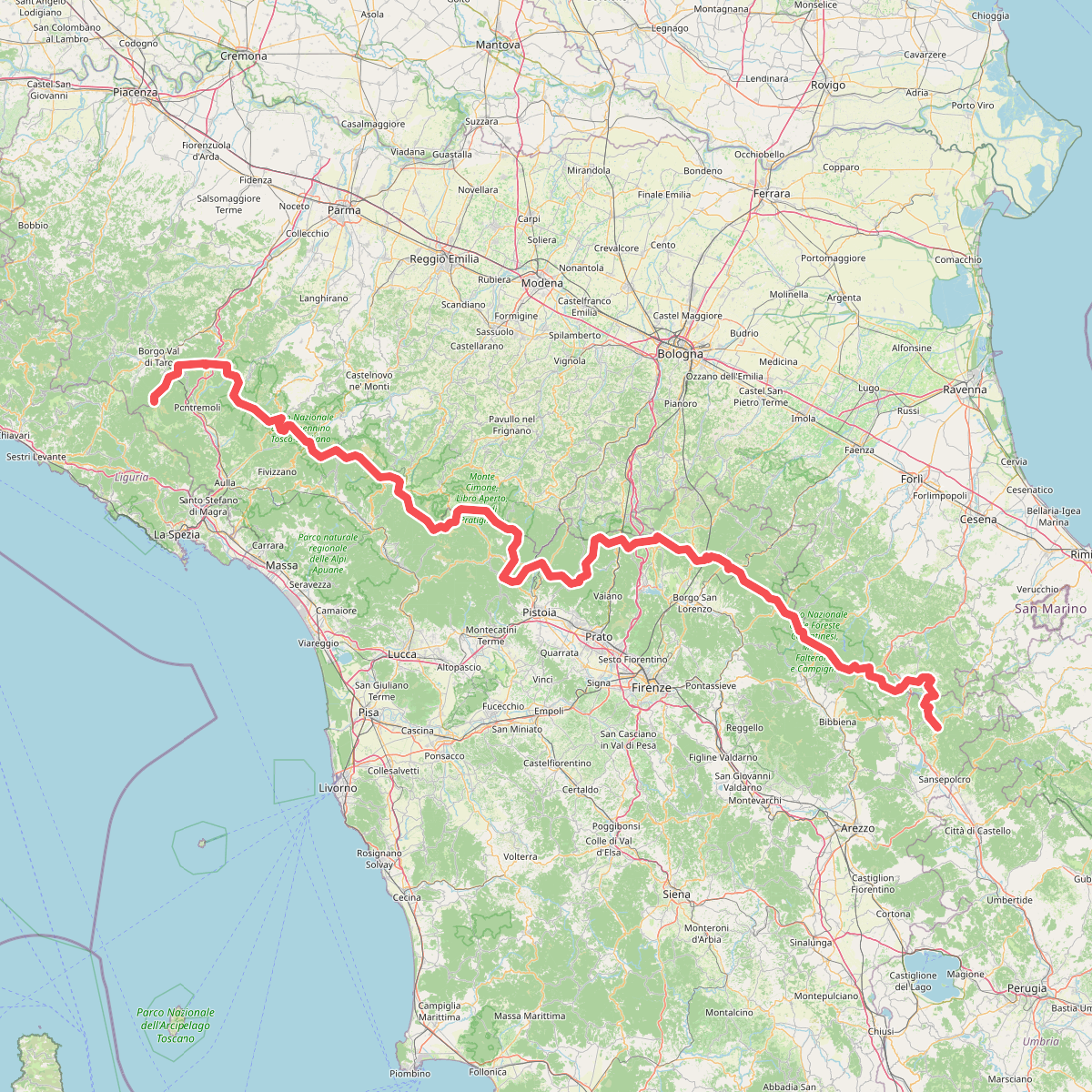
#4. Sentiero di spartiacque appenninico
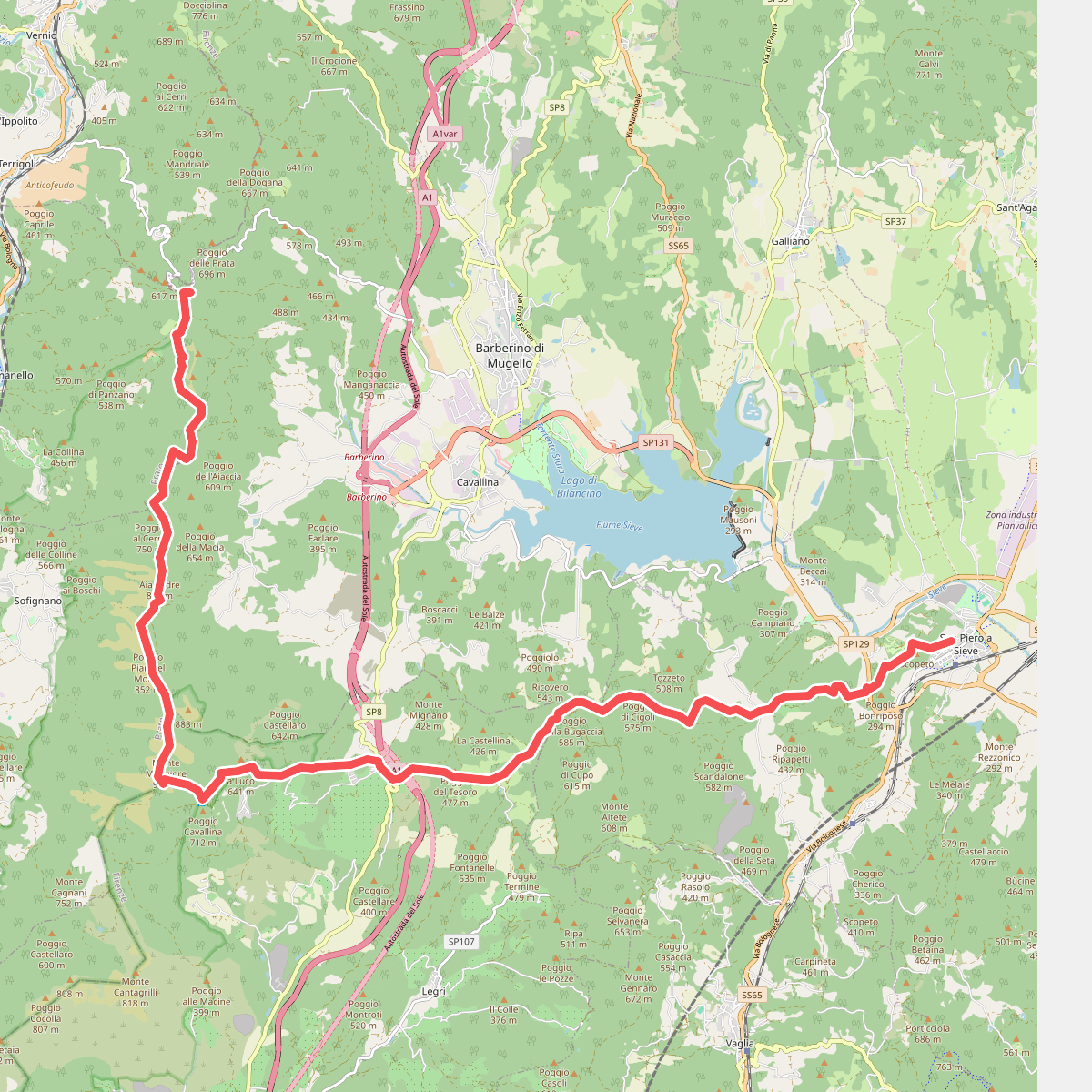
#5. Sorgenti di Firenze Trekking – Anello Principale: Tappa 9