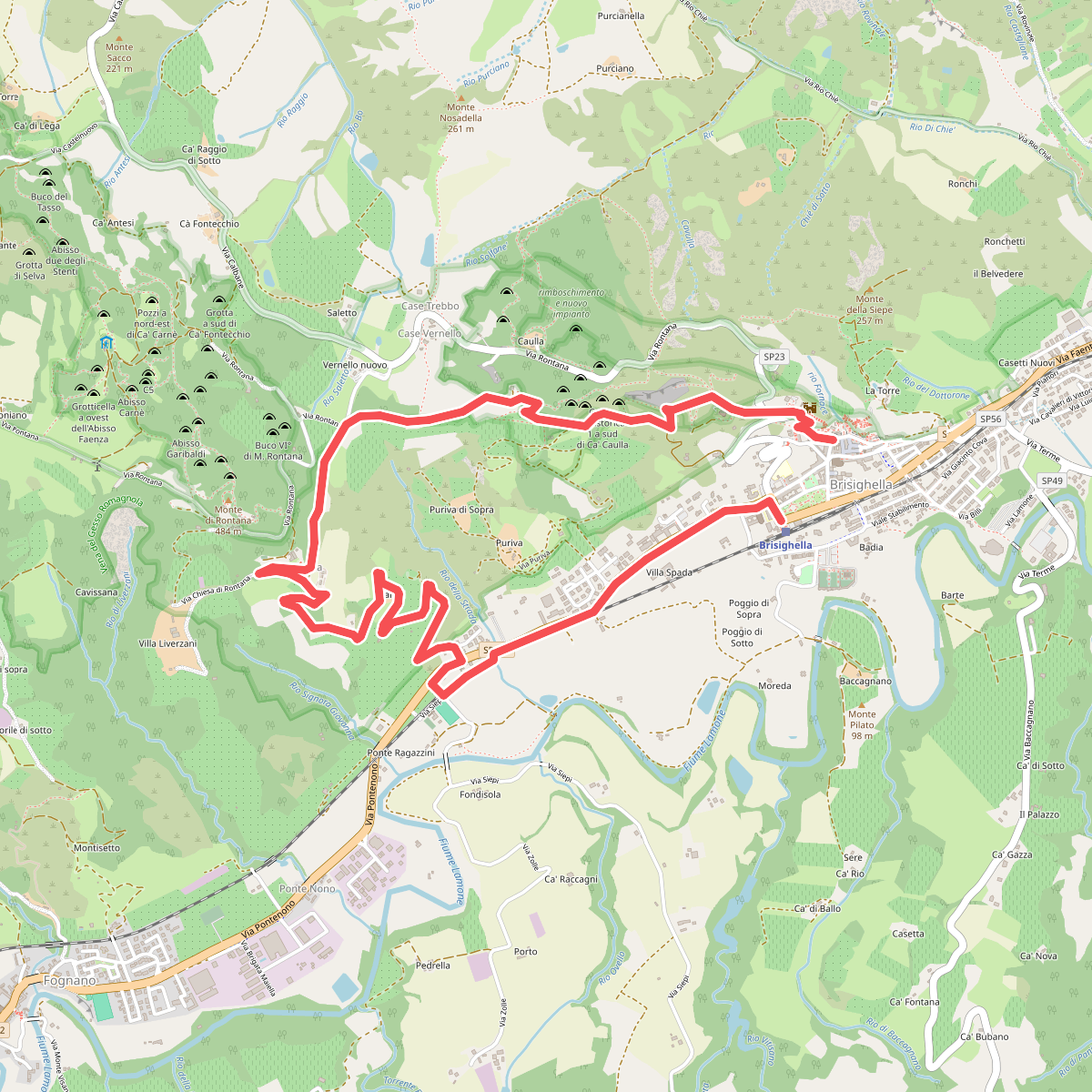
The best hiking routes in Area Contigua Parco regionale Vena del Gesso Romagnola
Discover the best walks in Area Contigua Parco regionale Vena del Gesso Romagnola. 22 routes on the map, with descriptions, photos and GPX.
Managed by Ente di gestione per i Parchi e la Biodiversità - Romagna
About Area Contigua Parco regionale Vena del Gesso Romagnola
The Area Contigua Parco regionale Vena del Gesso Romagnola serves as a buffer zone surrounding the core gypsum ridge of the regional park. Unlike the sheer, white crystalline cliffs of the main reserve, this contiguous area consists of a softer, agricultural and woodland transition zone. Walkers here will find a landscape shaped by traditional farming, where olive groves, vineyards, and small patches of oak forest drape over clay hillsides. The terrain is characterized by rolling downs rather than dramatic precipices, offering a gentler alternative to the steep, rugged karst topography nearby.
Read more
About Area Contigua Parco regionale Vena del Gesso Romagnola
The Area Contigua Parco regionale Vena del Gesso Romagnola serves as a buffer zone surrounding the core gypsum ridge of the regional park. Unlike the sheer, white crystalline cliffs of the main reserve, this contiguous area consists of a softer, agricultural and woodland transition zone. Walkers here will find a landscape shaped by traditional farming, where olive groves, vineyards, and small patches of oak forest drape over clay hillsides. The terrain is characterized by rolling downs rather than dramatic precipices, offering a gentler alternative to the steep, rugged karst topography nearby.
Read moreThe Area Contigua Parco regionale Vena del Gesso Romagnola serves as a buffer zone surrounding the core gypsum ridge of the regional park. Unlike the sheer, white crystalline cliffs of the main reserve, this contiguous area consists of a softer, agricultural and woodland transition zone. Walkers here will find a landscape shaped by traditional farming, where olive groves, vineyards, and small patches of oak forest drape over clay hillsides. The terrain is characterized by rolling downs rather than dramatic precipices, offering a gentler alternative to the steep, rugged karst topography nearby.
Underfoot, the paths transition from hard-packed dirt tracks along farm boundaries to loose clay trails that can become sticky after wet weather. You will notice frequent grey clay gullies, known locally as calanchi, scarring the hillsides where erosion has stripped away the vegetation. These barren, ribbed formations contrast sharply with the cultivated fields and provide a clear view of the underlying Pliocene clays that define the region's geology.
While the core gypsum zone attracts those looking for caves and steep rocky climbs, this outer area is suited for those who prefer walking through a working rural landscape. The trails are often quieter than the main park routes, winding past old stone farmhouses and through patchworks of hazelnut orchards. It is a landscape of moderate slopes and wide valleys, where the focus is on the quiet rhythm of Romagnola farming life rather than wilderness or high-altitude hiking.
Hiking routes in Area Contigua Parco regionale Vena del Gesso Romagnola (22)
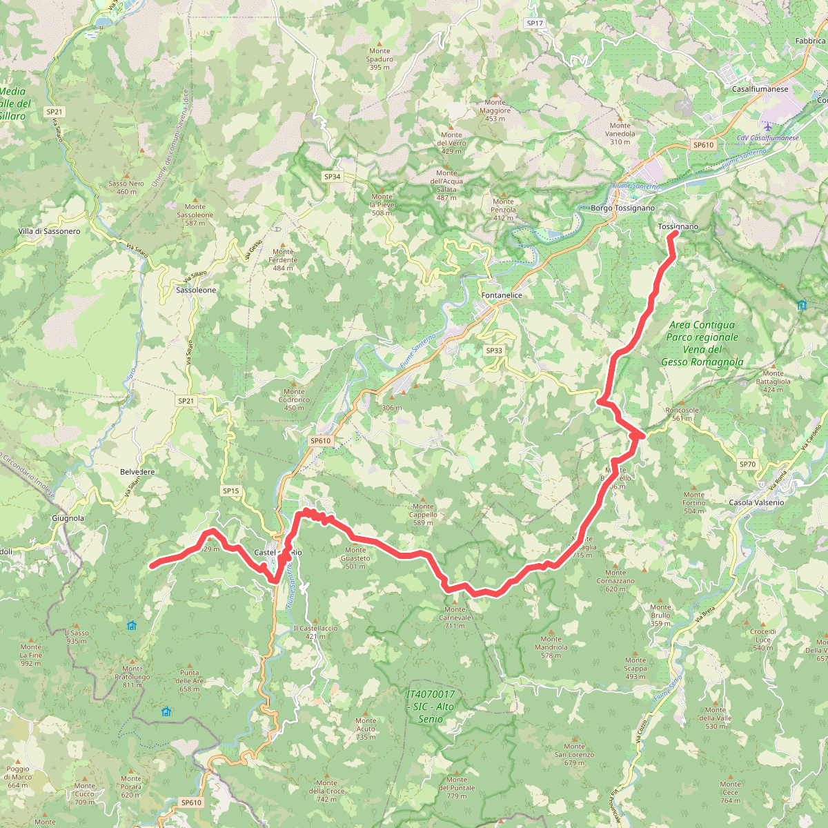
#1. Alta Via dei Parchi: Tappa 15
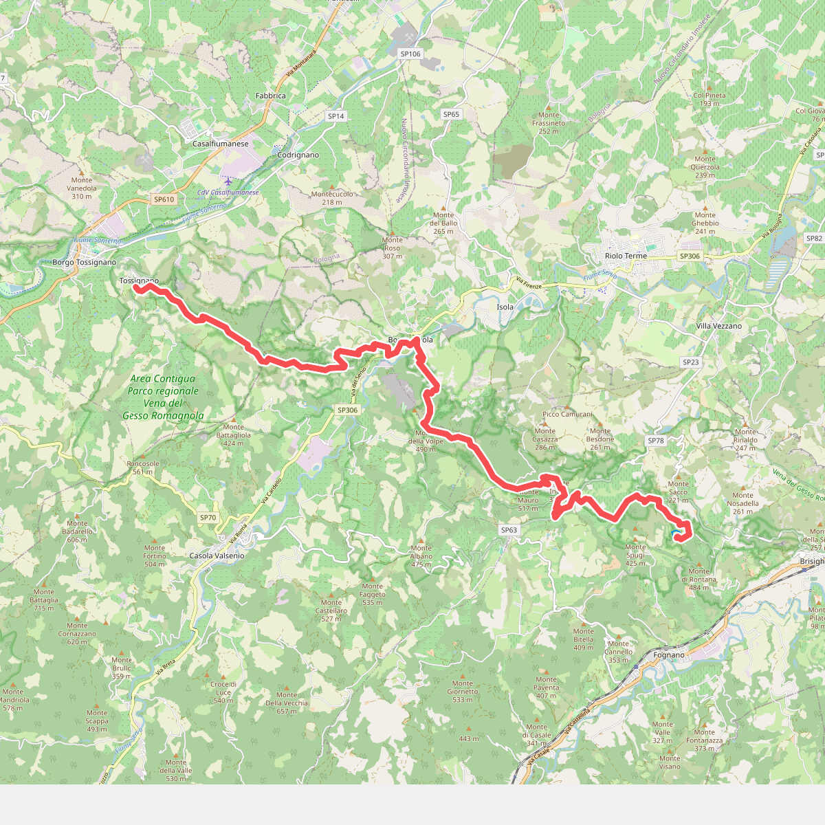
#2. Alta Via dei Parchi: Tappa 16
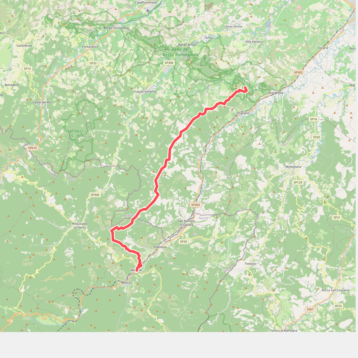
#3. Alta Via dei Parchi: Tappa 17
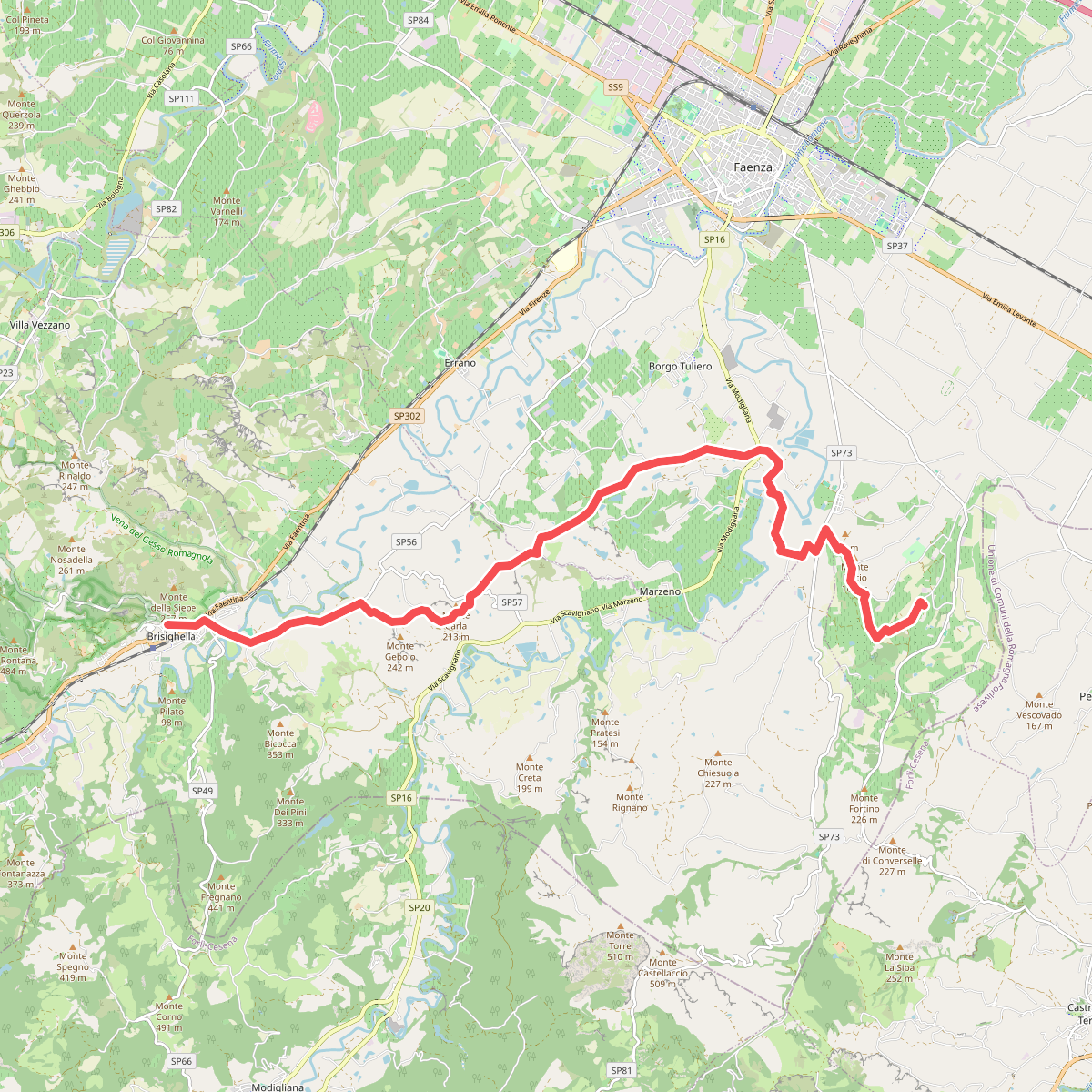
#4. Cammino di Dante - Tappa 3
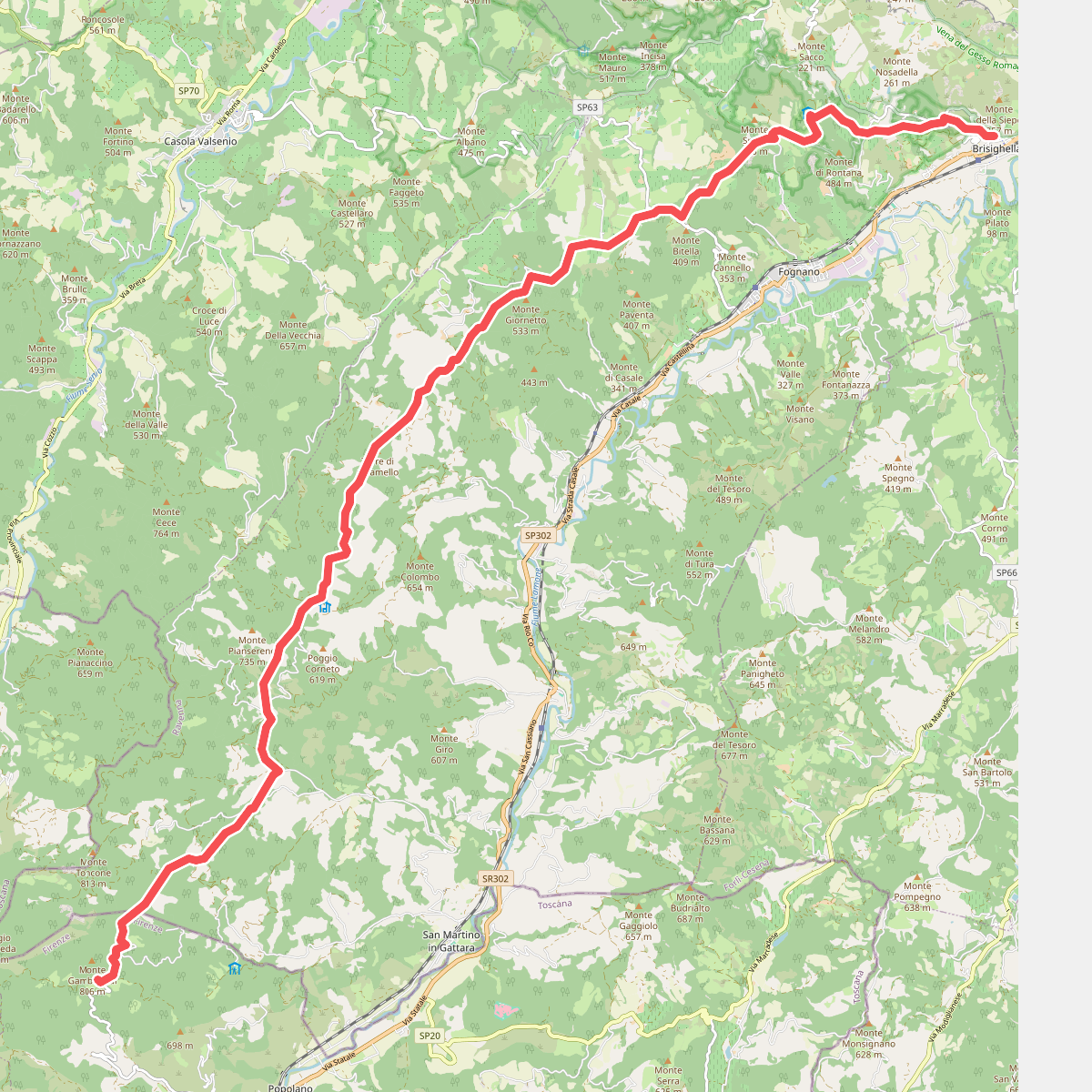
#5. Cammino di Dante - Tappa 4
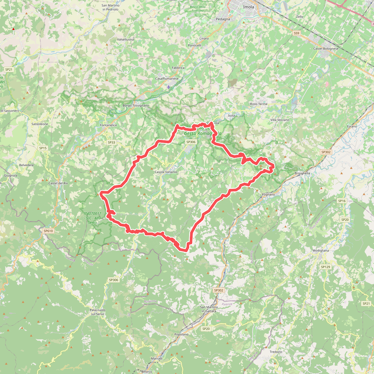
#6. Corolla delle Ginestre
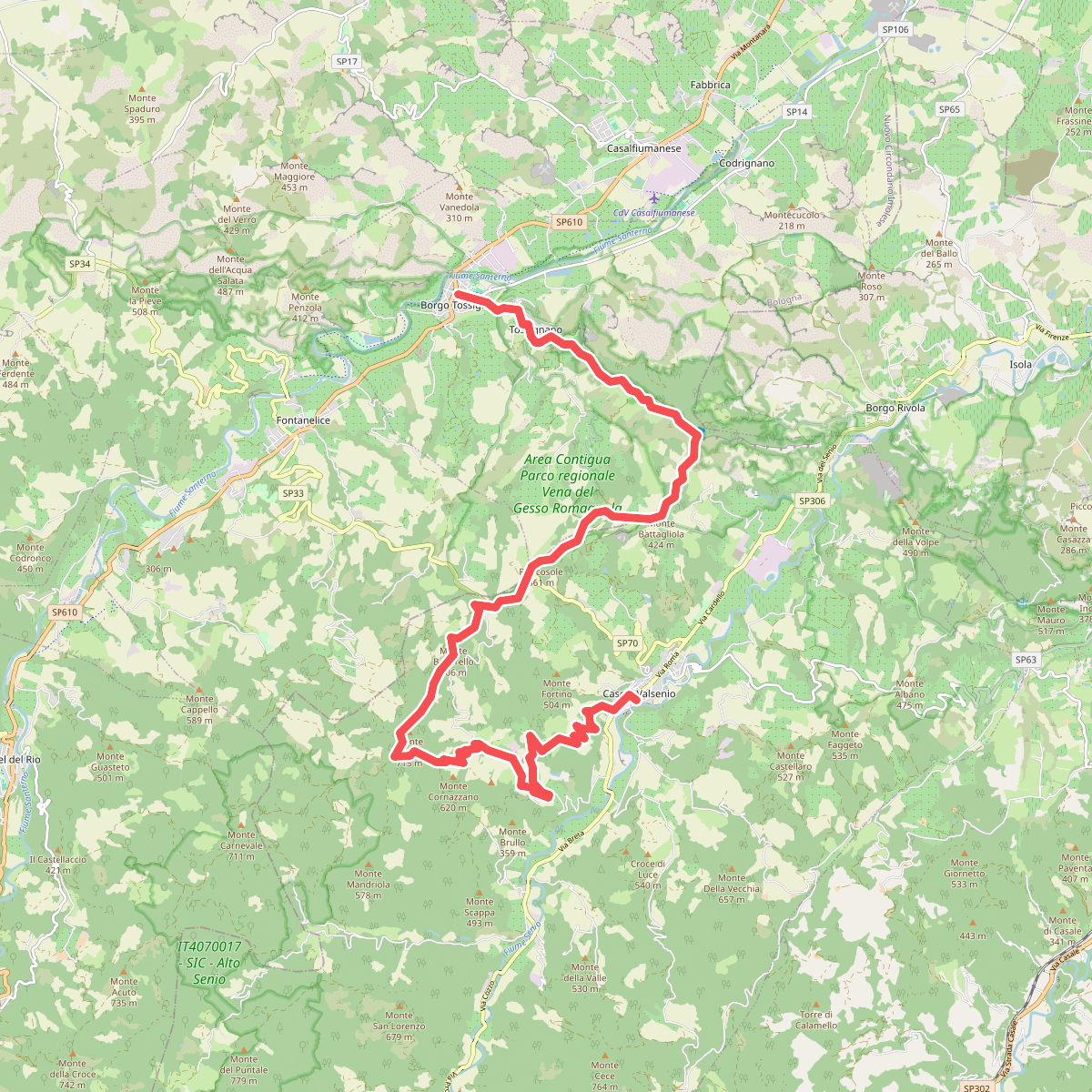
#7. Grande Circuito della Romagna: Tappa 1
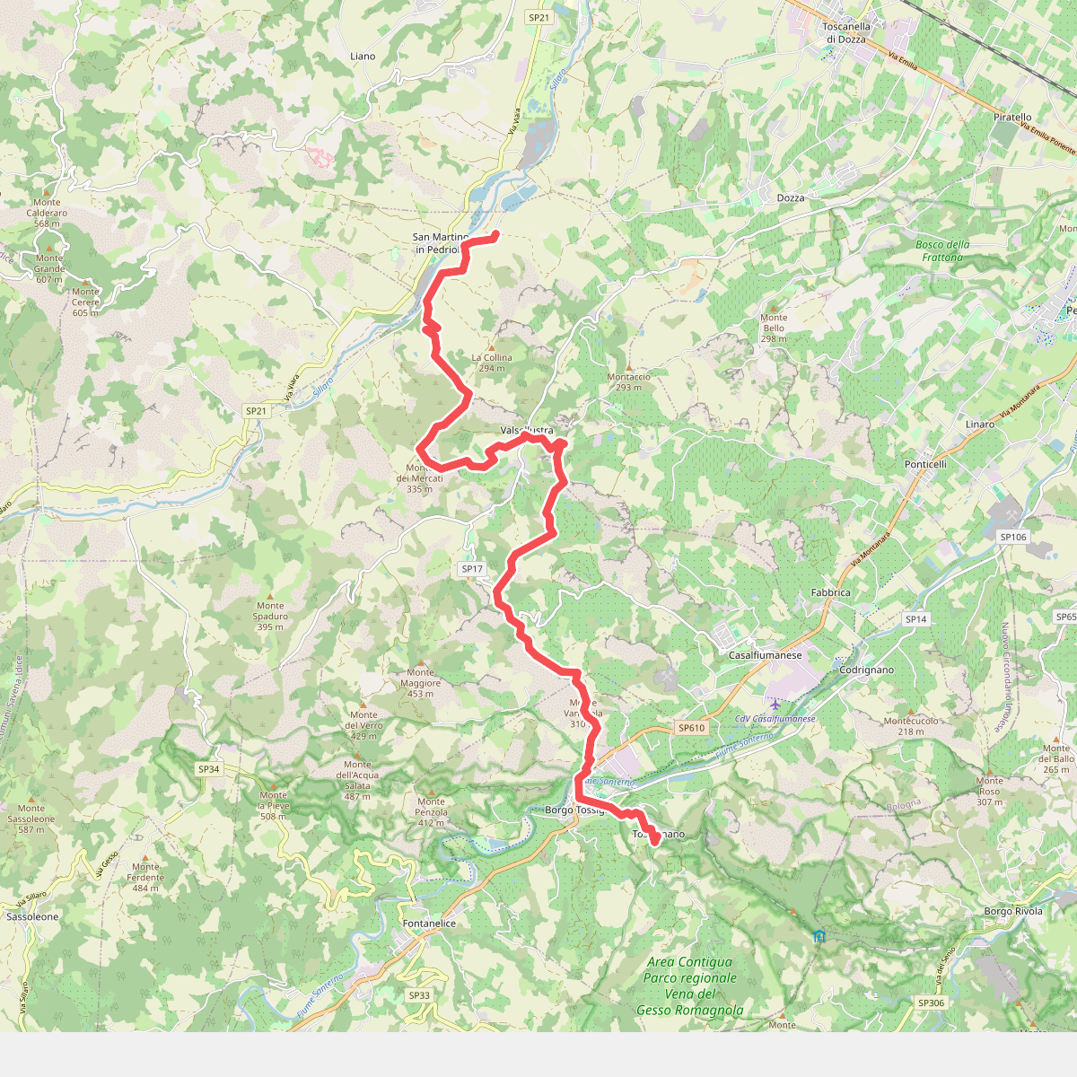
#8. Il Cammino di Sant'Antonio: Tappa 11
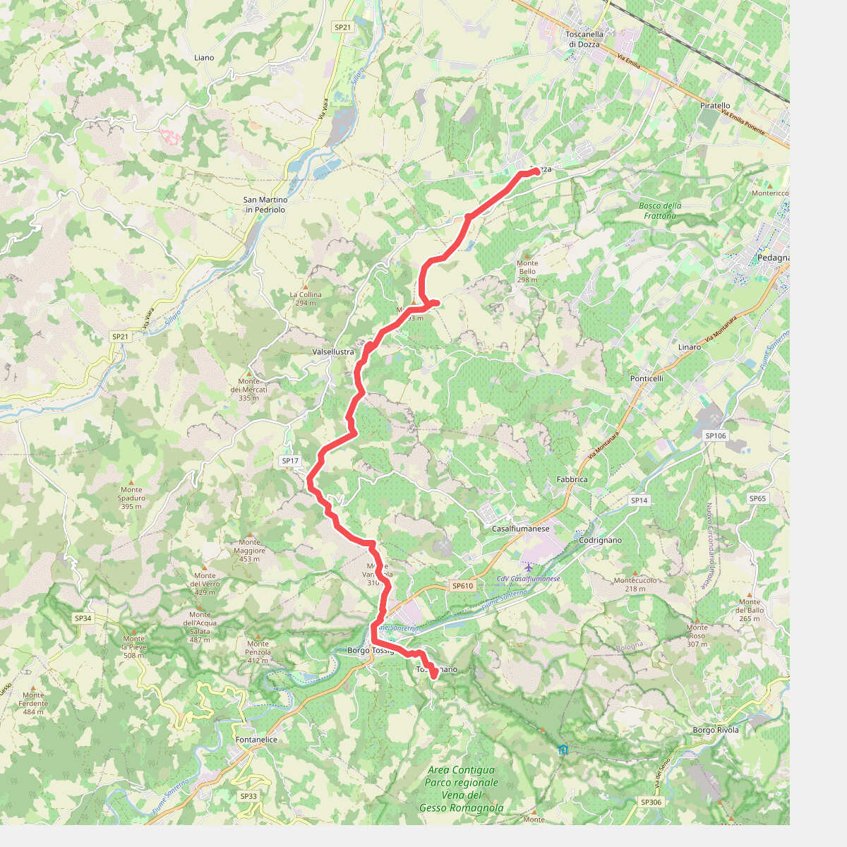
#9. Il Cammino di Sant'Antonio: Tappa 11D
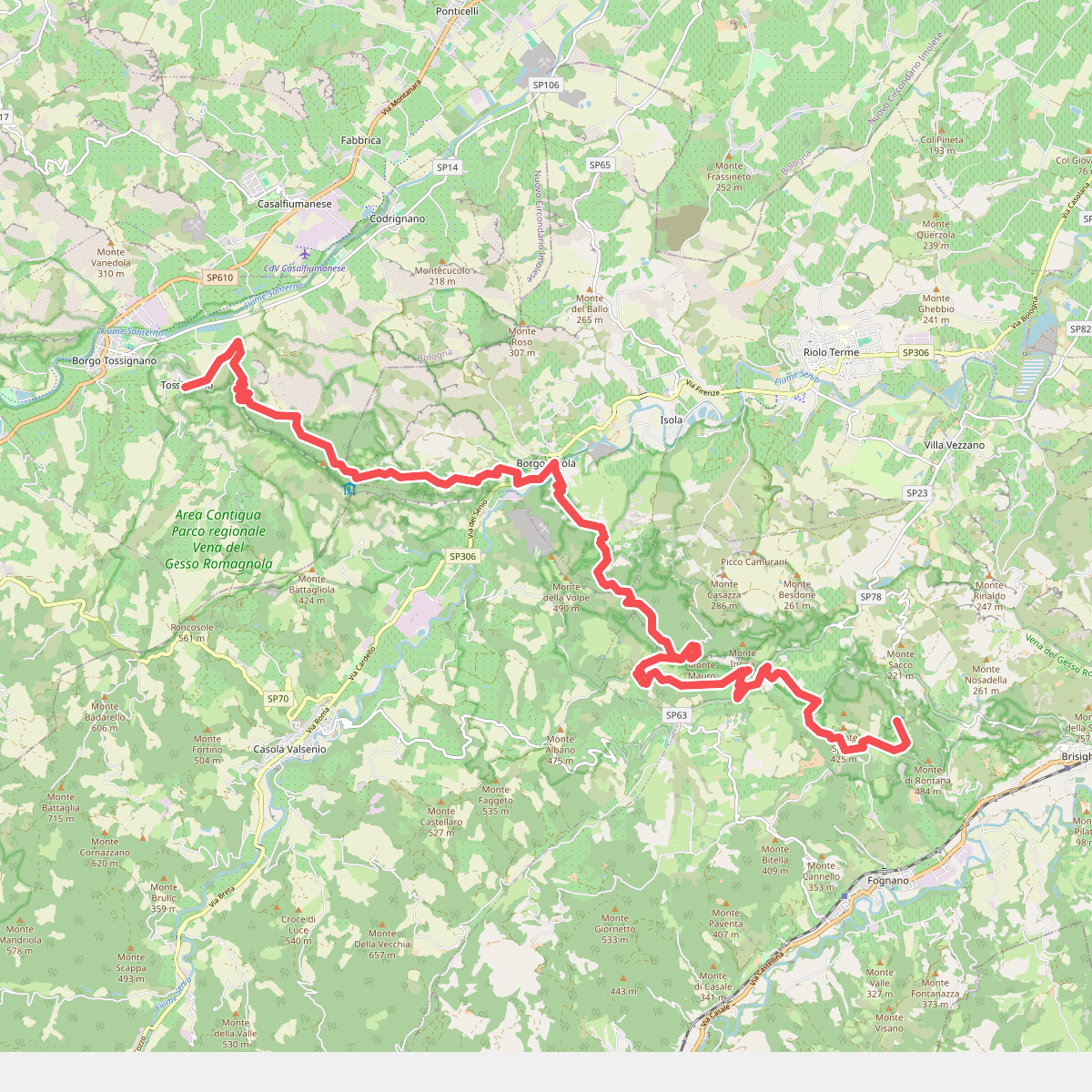
#10. Il Cammino di Sant'Antonio: Tappa 12
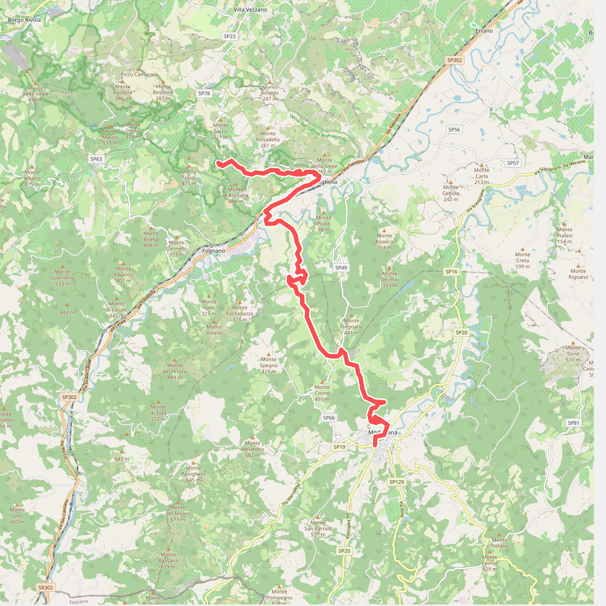
#11. Il Cammino di Sant'Antonio: Tappa 13