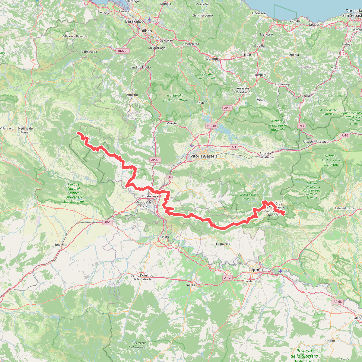
The best hiking routes in Arabako hegoaldeko mendilerroak BBE-KBE
Discover the best walks in Arabako hegoaldeko mendilerroak BBE-KBE. 34 routes on the map, with descriptions, photos and GPX.
About Arabako hegoaldeko mendilerroak BBE-KBE
Arabako hegoaldeko mendilerroak BBE-KBE covers the limestone ridges and forested slopes of southern Álava, marking a sharp transition between the humid Atlantic Basque country and the dry Ebro basin. Walkers here will find a landscape dominated by steep rocky crests, extensive beech forests on the northern slopes, and Mediterranean holm oak woods on the south-facing exposures. This is a region of limestone cliffs and high pastures rather than high alpine peaks, where the terrain is characterized by long, continuous ridges cut by deep gorges.
Read more
About Arabako hegoaldeko mendilerroak BBE-KBE
Arabako hegoaldeko mendilerroak BBE-KBE covers the limestone ridges and forested slopes of southern Álava, marking a sharp transition between the humid Atlantic Basque country and the dry Ebro basin. Walkers here will find a landscape dominated by steep rocky crests, extensive beech forests on the northern slopes, and Mediterranean holm oak woods on the south-facing exposures. This is a region of limestone cliffs and high pastures rather than high alpine peaks, where the terrain is characterized by long, continuous ridges cut by deep gorges.
Read moreArabako hegoaldeko mendilerroak BBE-KBE covers the limestone ridges and forested slopes of southern Álava, marking a sharp transition between the humid Atlantic Basque country and the dry Ebro basin. Walkers here will find a landscape dominated by steep rocky crests, extensive beech forests on the northern slopes, and Mediterranean holm oak woods on the south-facing exposures. This is a region of limestone cliffs and high pastures rather than high alpine peaks, where the terrain is characterized by long, continuous ridges cut by deep gorges.
Underfoot, the trails vary from rocky, limestone-strewn paths along the crests to soft clay and leaf-littered tracks beneath the beech canopy. The northern ascents often require navigating damp, shaded forest paths that can be slippery, while the southern descents open up into dry, stony tracks exposed to the sun. Walkers should expect steady, sometimes steep climbs to reach the ridgelines, with the limestone pavement requiring careful stepping.
In late autumn, particularly in November, the contrast within this area is most visible as the beech leaves turn rust-red while the holm oaks remain dark green. The higher limestone pastures are often quieter than the main access tracks near the mountain passes, offering a stark, stony landscape that feels distinct from the softer, greener valleys to the north.
Hiking routes in Arabako hegoaldeko mendilerroak BBE-KBE (34)
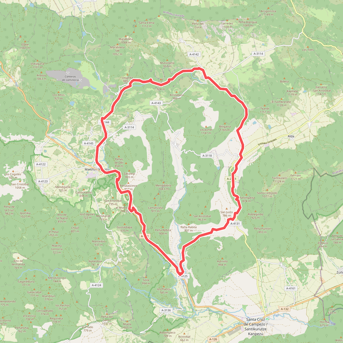
#1. Arabako Mendialdeko ibilbide zirkularra
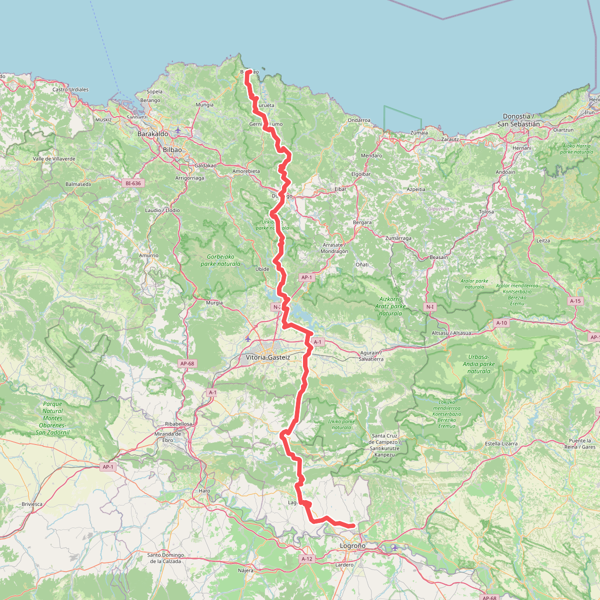
#2. Ardoaren eta arrainaren bidea
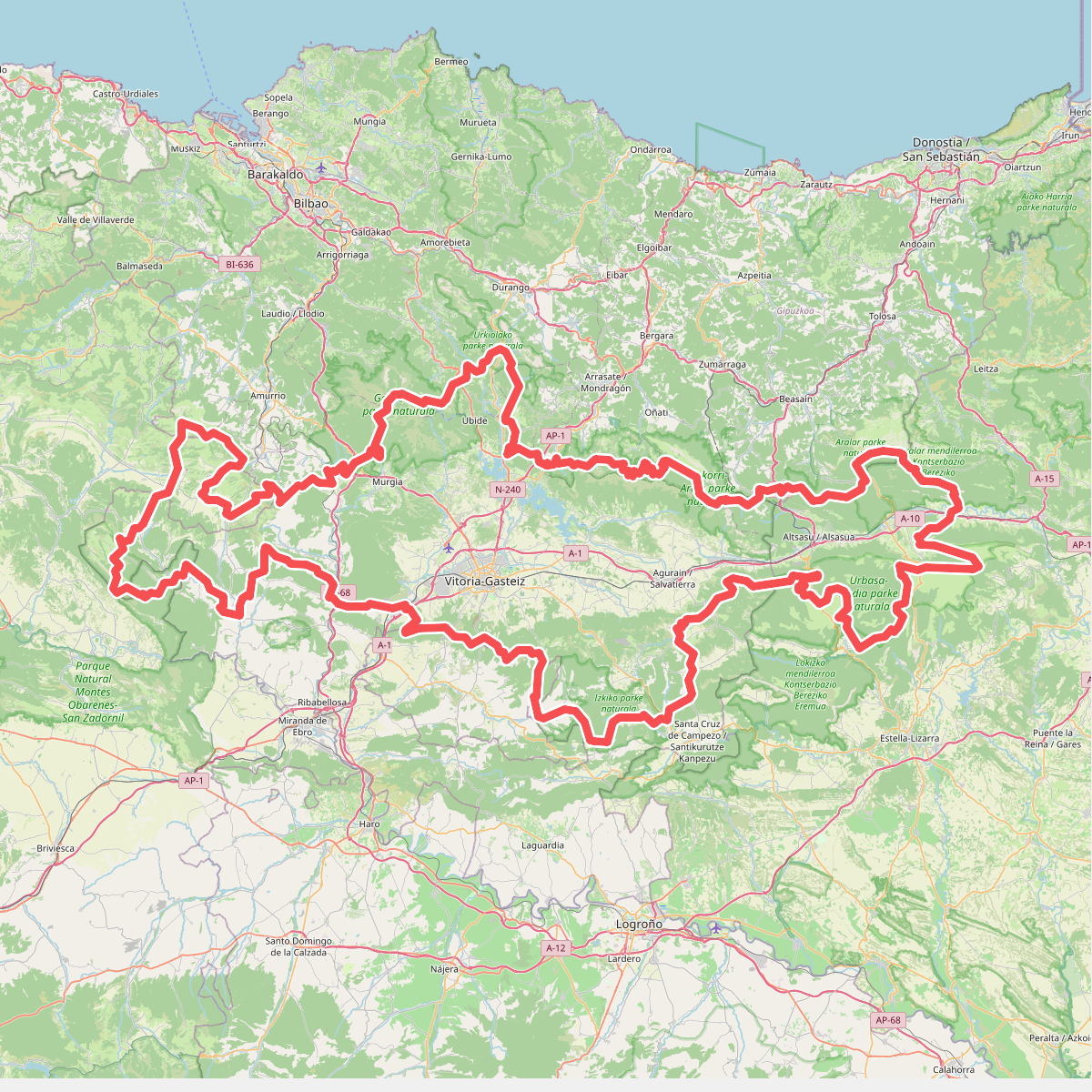
#3. Artzaintza naturbidea
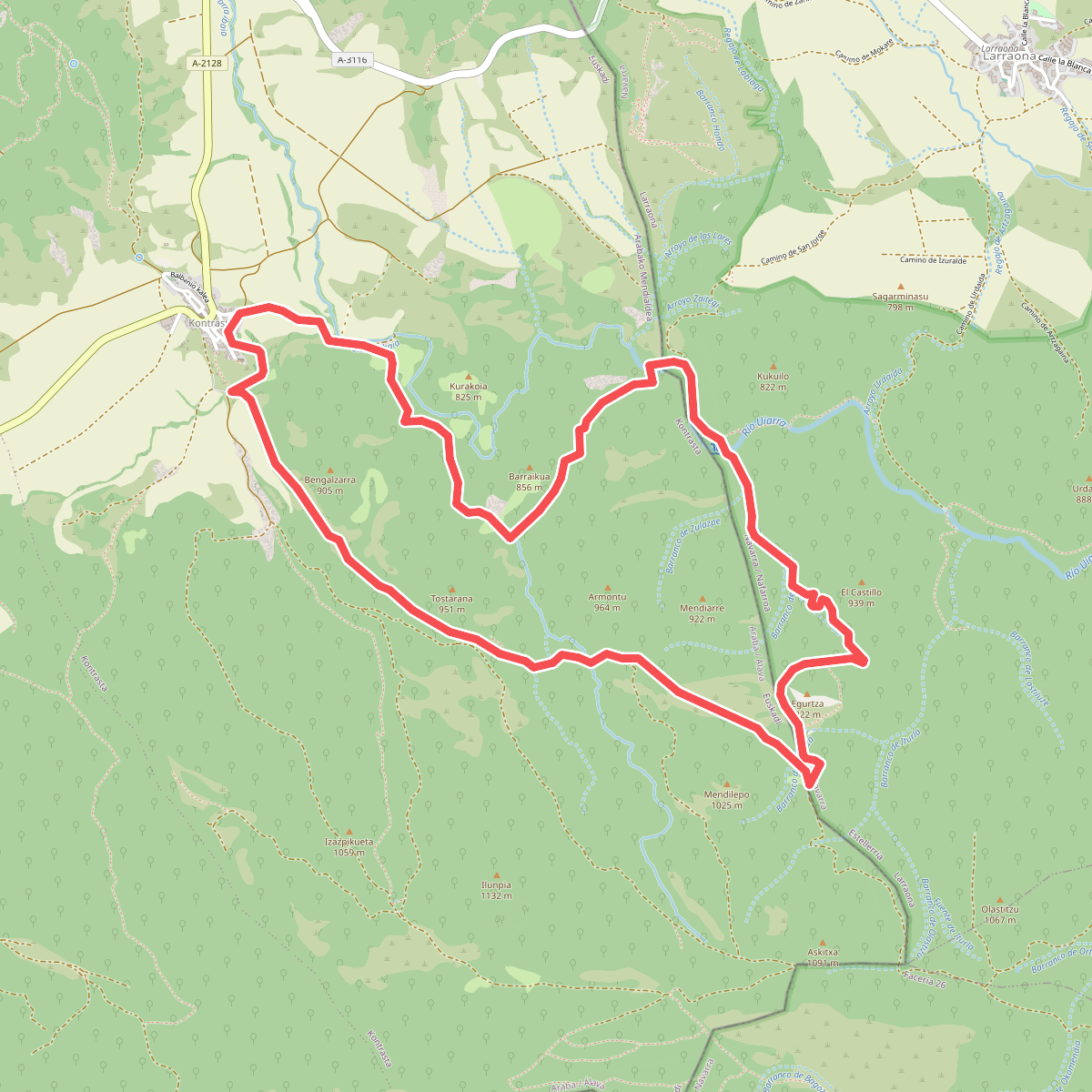
#4. Barrancos de Contrasta
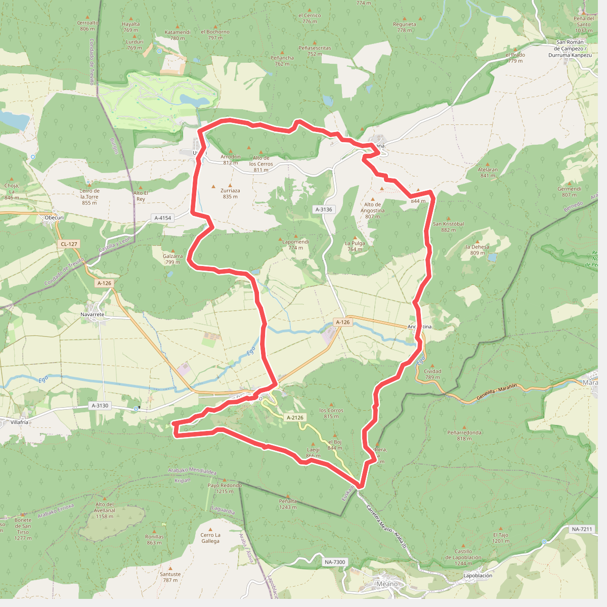
#5. Bernedo-Angostina-Quintana-Urturi
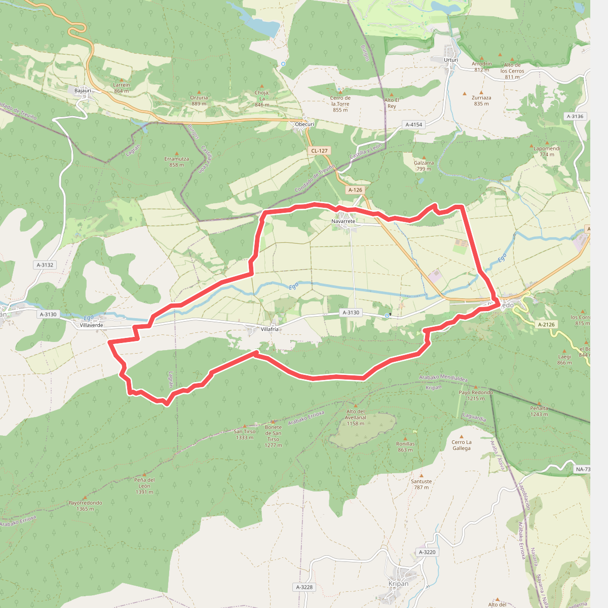
#6. Bernedo-Villafría-Villaverde-Navarrete
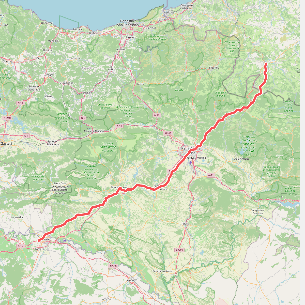
#7. Camino Francés - 01
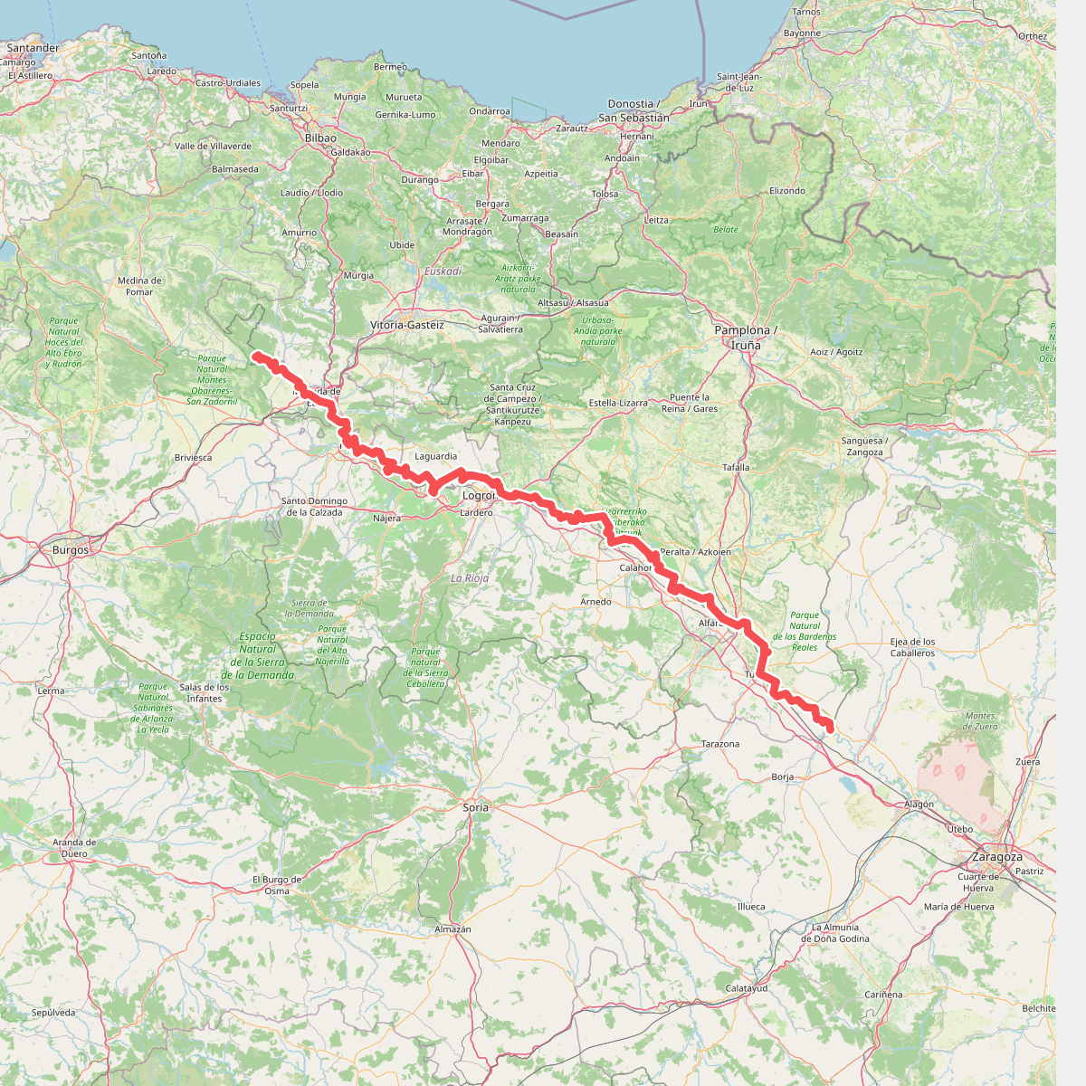
#8. Camino natural de Ebro - Tramo central
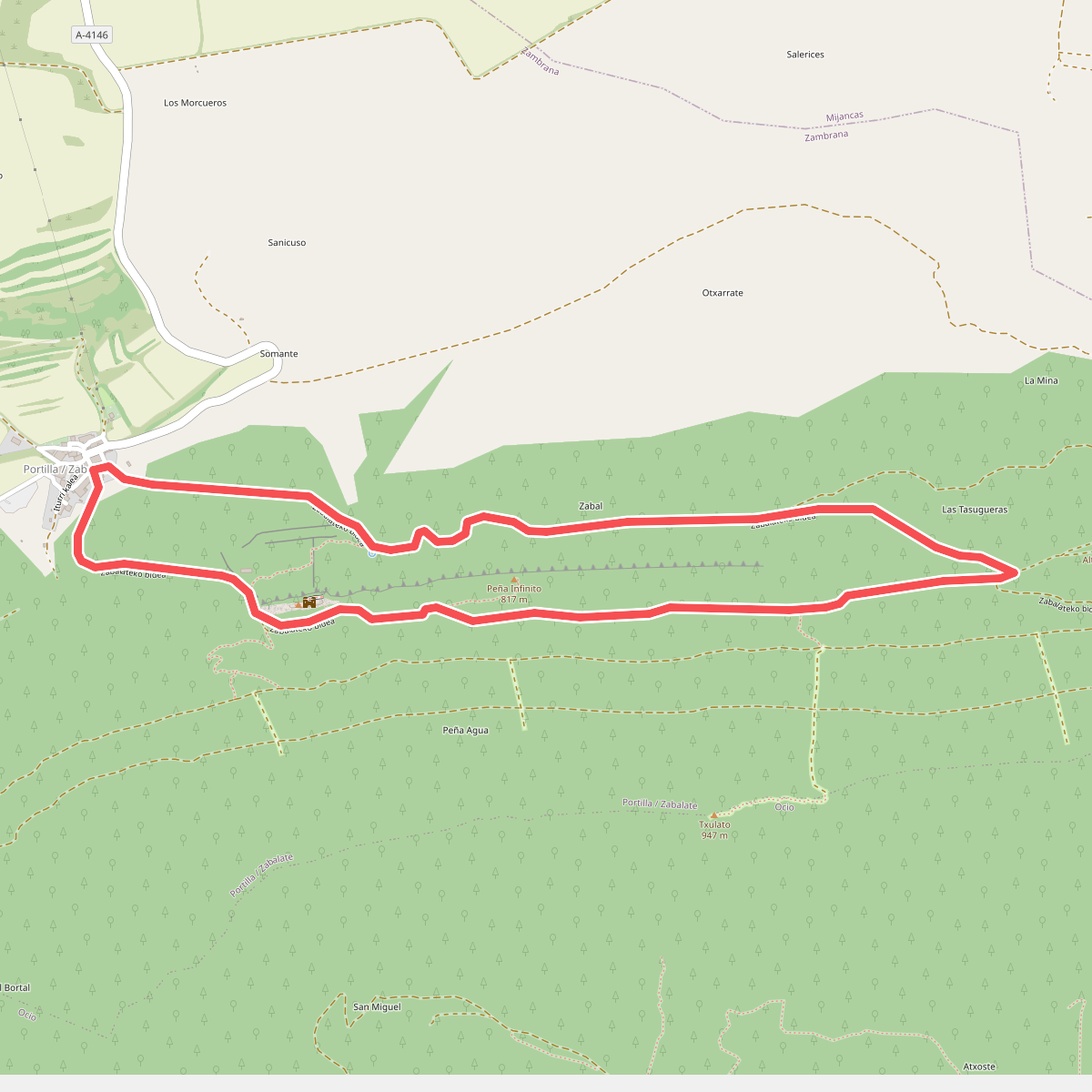
#9. Castillo de Portilla
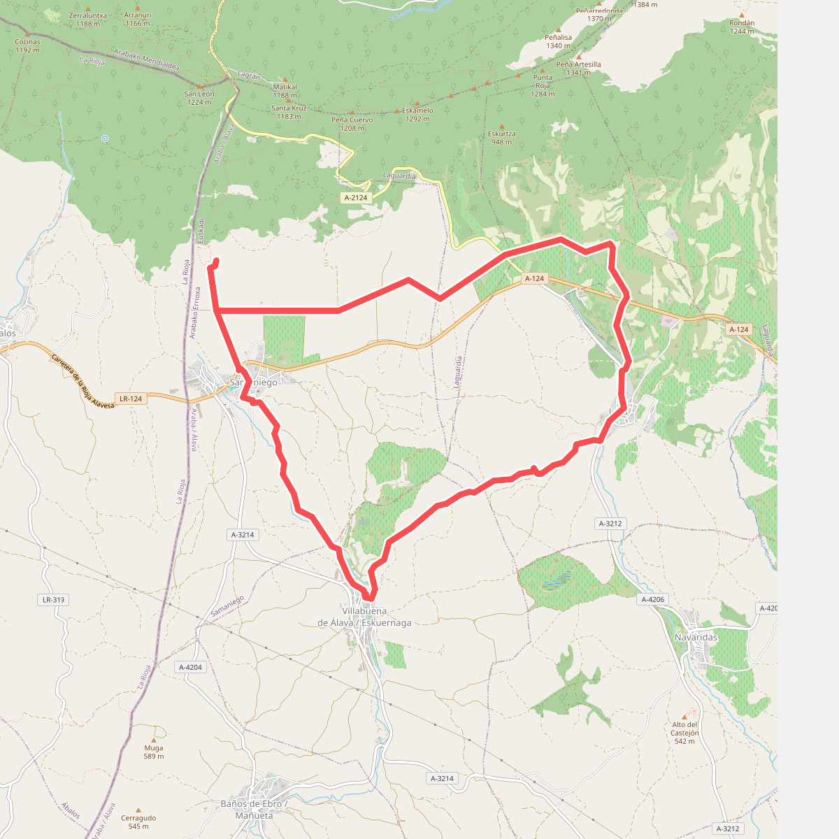
#10. Dolmen de Layaza
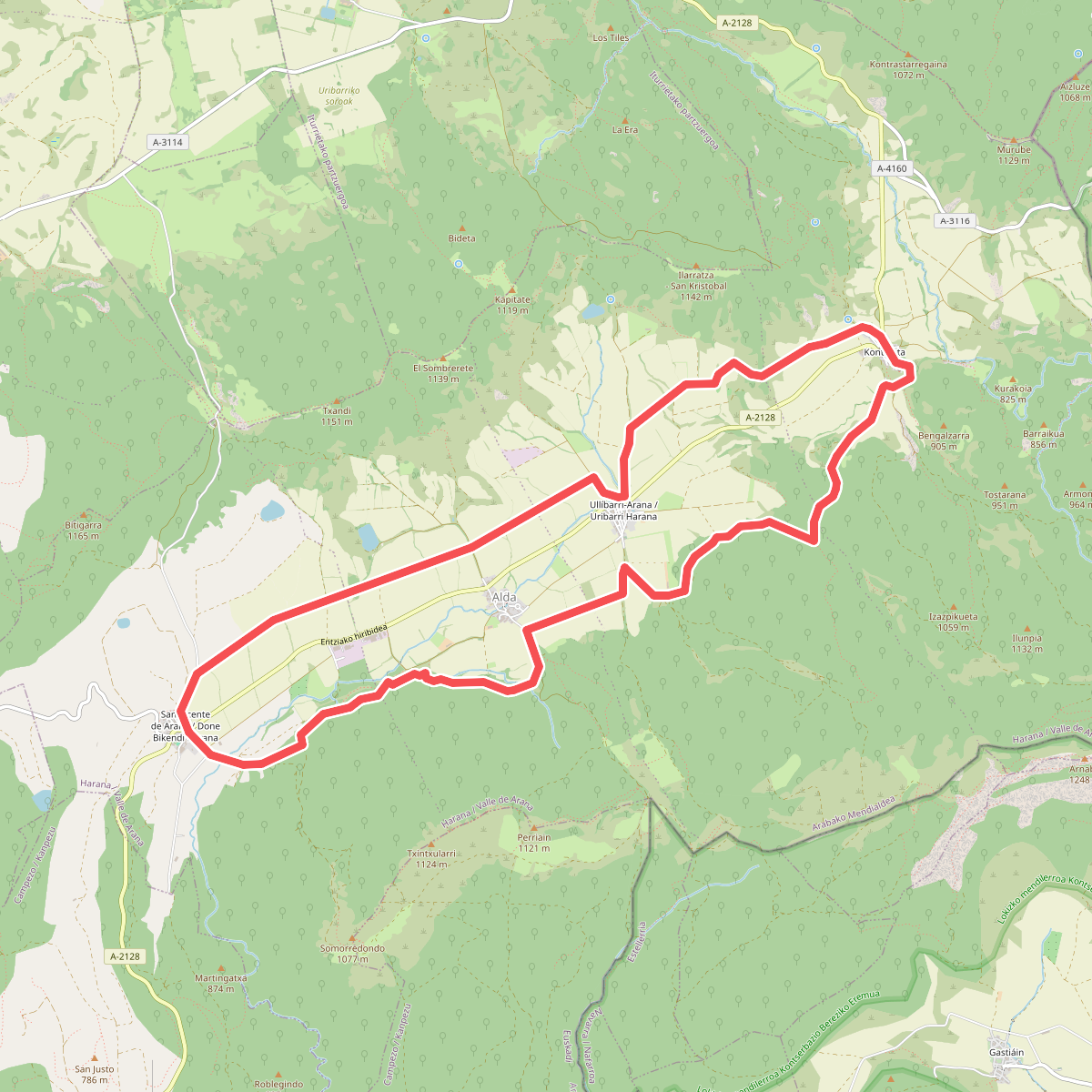
#11. Haraneko ibilbidea