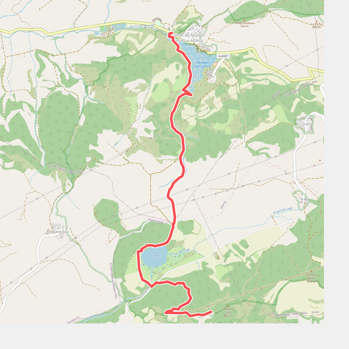
The best hiking routes in Añanako diapiroko paisaia natural babestua
Discover the best walks in Añanako diapiroko paisaia natural babestua. 5 routes on the map, with descriptions, photos and GPX.
About Añanako diapiroko paisaia natural babestua
Añanako diapiroko paisaia natural babestua is defined by its unusual geological salt valley, where a massive underground salt dome has pushed to the surface. Walking here, you will notice the stark contrast between the white, terraced salt pans of the Valle Salado and the surrounding green, clay-heavy hillsides. The landscape is shaped by saltwater springs that feed into a network of wooden channels, leaving crusty white deposits along the edges of the paths. This is a dry, open basin rather than a lush forest, with vegetation dominated by salt-tolerant plants that thrive in the saline runoff.
Read more
About Añanako diapiroko paisaia natural babestua
Añanako diapiroko paisaia natural babestua is defined by its unusual geological salt valley, where a massive underground salt dome has pushed to the surface. Walking here, you will notice the stark contrast between the white, terraced salt pans of the Valle Salado and the surrounding green, clay-heavy hillsides. The landscape is shaped by saltwater springs that feed into a network of wooden channels, leaving crusty white deposits along the edges of the paths. This is a dry, open basin rather than a lush forest, with vegetation dominated by salt-tolerant plants that thrive in the saline runoff.
Read moreAñanako diapiroko paisaia natural babestua is defined by its unusual geological salt valley, where a massive underground salt dome has pushed to the surface. Walking here, you will notice the stark contrast between the white, terraced salt pans of the Valle Salado and the surrounding green, clay-heavy hillsides. The landscape is shaped by saltwater springs that feed into a network of wooden channels, leaving crusty white deposits along the edges of the paths. This is a dry, open basin rather than a lush forest, with vegetation dominated by salt-tolerant plants that thrive in the saline runoff.
Underfoot, the terrain transitions from hard-packed dirt tracks on the hillsides to wooden boardwalks and stone paths that wind directly through the historic salt-producing terraces. The walking is generally flat to gently sloping, lacking any high peaks or deep mountain gorges. Instead, the paths offer a close-up view of the timber structures and stone basins used for centuries to harvest salt, with the surrounding slopes covered in low scrub and small pine stands.
In late summer, particularly around August, the salt pans are at their most active and visible, crusting over with brilliant white crystals under the sun. The area is compact and easily navigated, making it a straightforward walk focused on industrial heritage and geology rather than a wilderness trek. While the salt pans themselves can attract visitors interested in the historic works, the outer paths along the valley rim remain much quieter.