The best hiking routes in Ampertal
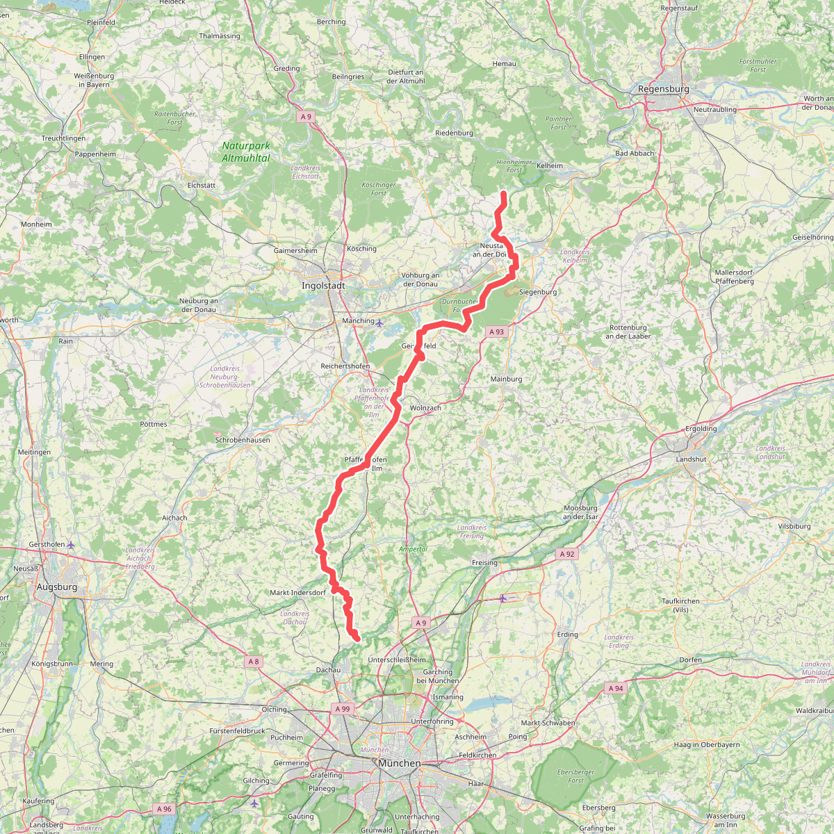
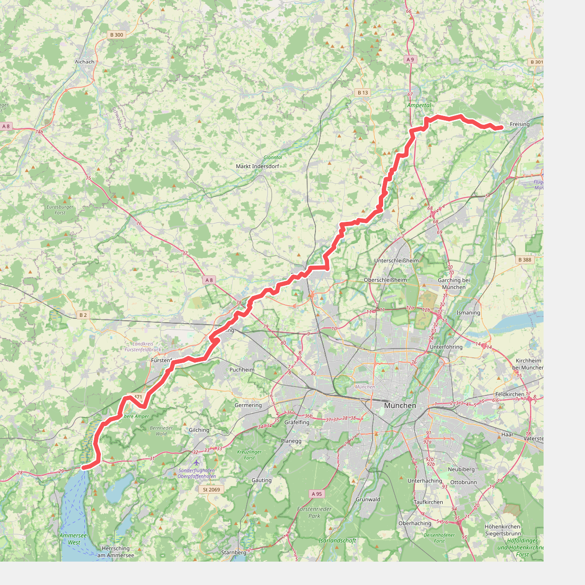
Discover the best walks in Ampertal. 2 routes on the map, with descriptions, photos and GPX.
About Ampertal
The Ampertal, the valley of the Amper river, offers a distinct walking experience shaped by its flat, damp river meadows and the gentle slopes of the surrounding tertiary hills. Unlike drier pine forests or sandy heathlands, this landscape is defined by its water-rich character, where wide alluvial plains meet small patches of alluvial woodland and managed pastures. Walkers will notice a clear transition underfoot between the soft, grassy paths of the valley floor and the firmer, gravelly agricultural tracks that climb slightly onto the valley edges.
Read more
About Ampertal
The Ampertal, the valley of the Amper river, offers a distinct walking experience shaped by its flat, damp river meadows and the gentle slopes of the surrounding tertiary hills. Unlike drier pine forests or sandy heathlands, this landscape is defined by its water-rich character, where wide alluvial plains meet small patches of alluvial woodland and managed pastures. Walkers will notice a clear transition underfoot between the soft, grassy paths of the valley floor and the firmer, gravelly agricultural tracks that climb slightly onto the valley edges.
Read moreThe Ampertal, the valley of the Amper river, offers a distinct walking experience shaped by its flat, damp river meadows and the gentle slopes of the surrounding tertiary hills. Unlike drier pine forests or sandy heathlands, this landscape is defined by its water-rich character, where wide alluvial plains meet small patches of alluvial woodland and managed pastures. Walkers will notice a clear transition underfoot between the soft, grassy paths of the valley floor and the firmer, gravelly agricultural tracks that climb slightly onto the valley edges.
Because the river has been partially regulated over the decades, the landscape presents a mix of natural winding sections and straight, functional drainage ditches. This means your walk will alternate between quiet, tree-lined riverbanks and open agricultural fields where the scale of local farming is prominent. The area does not offer dramatic gorges or deep valleys, but rather a wide, open corridor where the slow-flowing river is the central feature.
In late spring, around May, the damp meadows are easily recognized by their bright yellow buttercups and lush green growth, while the higher paths remain dry and bordered by hedges. While the main trails near the towns can be busier with local walkers, the paths further into the agricultural floodplains are often quieter, offering a straightforward, rural walk along a working Bavarian river valley.