The best hiking routes in ZEC Canón do Sil
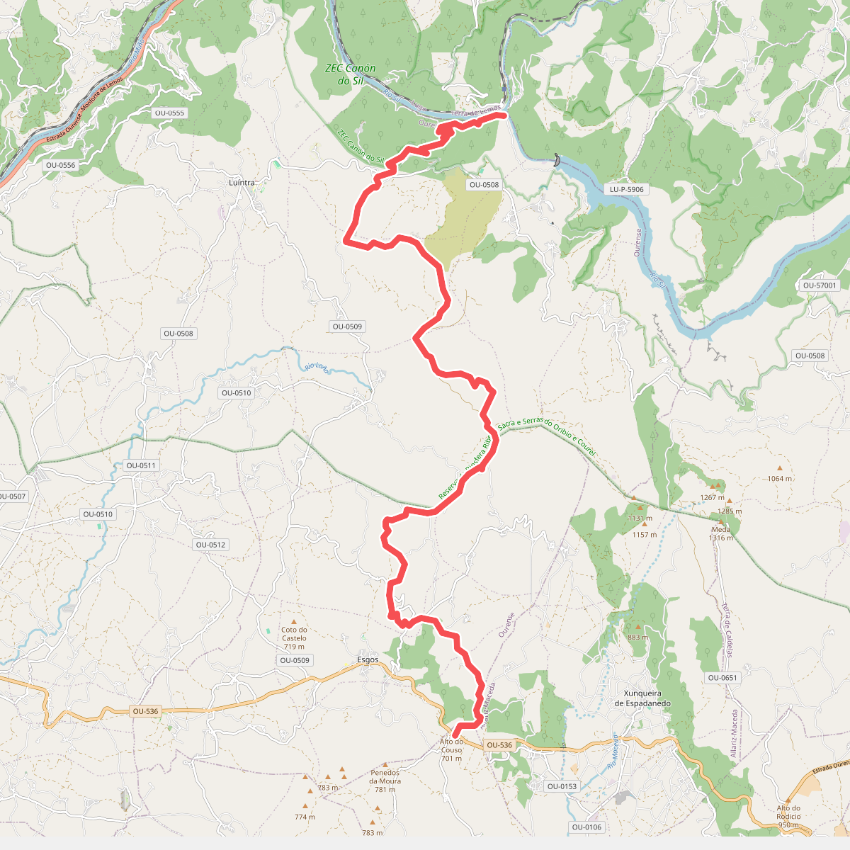
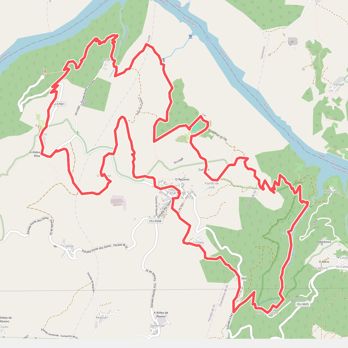
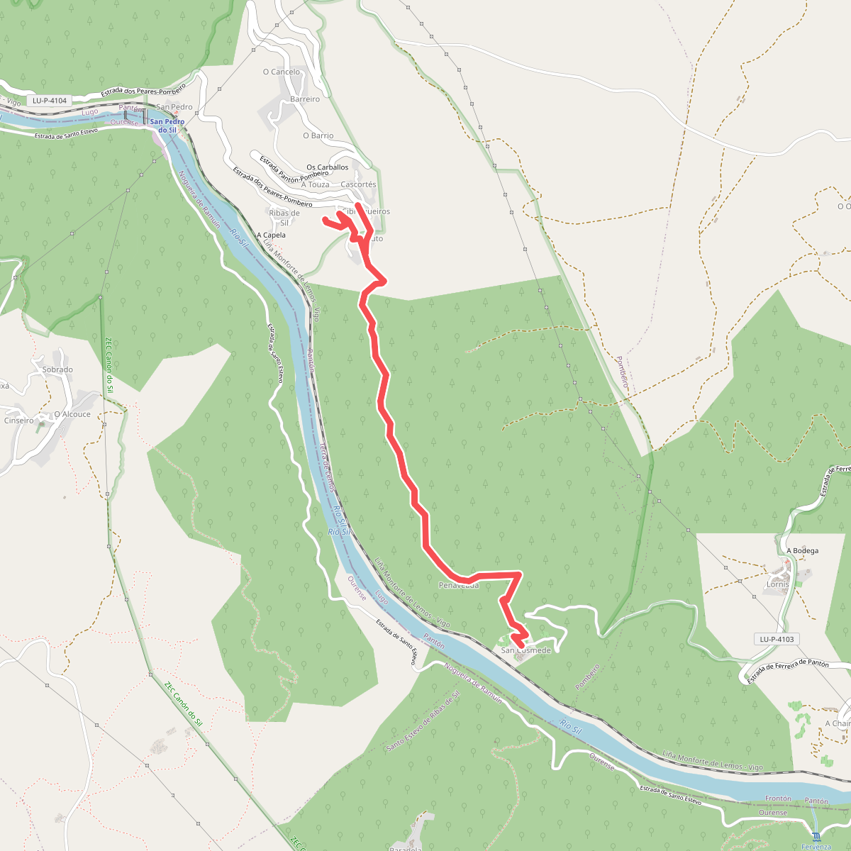
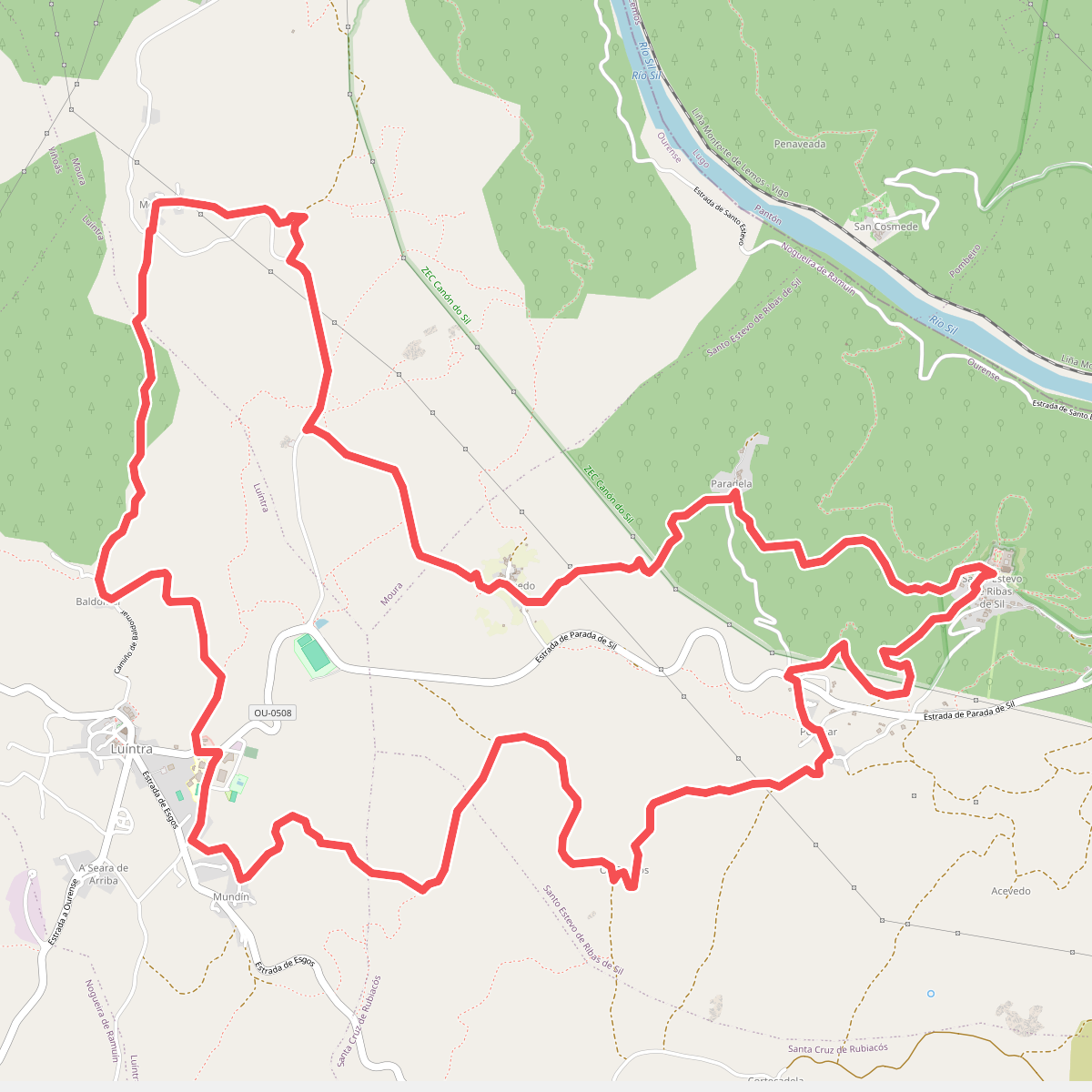
Discover the best walks in ZEC Canón do Sil. 5 routes on the map, with descriptions, photos and GPX.
Managed by Xunta de Galicia
About ZEC Canón do Sil
ZEC Canón do Sil is defined by its steep, rocky gorge carved by the Sil River, where dramatic granite cliffs drop sharply into the water. Unlike flatter river valleys, this terrain forces walkers onto narrow, contouring paths that hug the canyon walls. The microclimate created by the deep gorge means you will walk through Mediterranean-style oak and chestnut forests on the south-facing slopes, while the north-facing sides support damp, mossy Atlantic vegetation. Underfoot, the paths alternate between uneven granite stones, leaf-littered forest tracks, and steep, terraced vineyard trails.
Read more
About ZEC Canón do Sil
ZEC Canón do Sil is defined by its steep, rocky gorge carved by the Sil River, where dramatic granite cliffs drop sharply into the water. Unlike flatter river valleys, this terrain forces walkers onto narrow, contouring paths that hug the canyon walls. The microclimate created by the deep gorge means you will walk through Mediterranean-style oak and chestnut forests on the south-facing slopes, while the north-facing sides support damp, mossy Atlantic vegetation. Underfoot, the paths alternate between uneven granite stones, leaf-littered forest tracks, and steep, terraced vineyard trails.
Read moreZEC Canón do Sil is defined by its steep, rocky gorge carved by the Sil River, where dramatic granite cliffs drop sharply into the water. Unlike flatter river valleys, this terrain forces walkers onto narrow, contouring paths that hug the canyon walls. The microclimate created by the deep gorge means you will walk through Mediterranean-style oak and chestnut forests on the south-facing slopes, while the north-facing sides support damp, mossy Atlantic vegetation. Underfoot, the paths alternate between uneven granite stones, leaf-littered forest tracks, and steep, terraced vineyard trails.
This landscape is heavily shaped by human hand, which you will notice in the ancient stone terraces built to cultivate vines on near-vertical slopes. Walkers should expect demanding ascents and descents rather than gentle, rolling paths. The terrain requires careful foot placement, especially on the older, unpaved stone steps that connect the different levels of the canyon.
While the main viewpoints overlooking the river bend can attract visitors during the summer months, the deeper forested trails and the paths leading down to the water level are often quieter. There are no high mountain peaks here, but the sheer vertical drop from the canyon rim to the riverbed provides a constant sense of exposure that is distinct from the surrounding Galician plateau.