The best hiking routes in ZEC Baixo Miño
Discover the best walks in ZEC Baixo Miño. 16 routes on the map, with descriptions, photos and GPX.
Managed by Xunta de Galicia, Natura 2000
About ZEC Baixo Miño
ZEC Baixo Miño covers the low-lying alluvial plains and tidal marshes along the final stretch of the Miño River. Unlike the steep, rocky gorges found further upstream, this protected area is defined by its flat, waterlogged landscape. Walkers will find a mix of tidal mudflats, reed beds, and seasonal wetlands that transition into agricultural fields. The terrain is highly influenced by the Atlantic tides, meaning the water levels in the creeks and marshes rise and fall daily, constantly reshaping the shoreline.
Read more
About ZEC Baixo Miño
ZEC Baixo Miño covers the low-lying alluvial plains and tidal marshes along the final stretch of the Miño River. Unlike the steep, rocky gorges found further upstream, this protected area is defined by its flat, waterlogged landscape. Walkers will find a mix of tidal mudflats, reed beds, and seasonal wetlands that transition into agricultural fields. The terrain is highly influenced by the Atlantic tides, meaning the water levels in the creeks and marshes rise and fall daily, constantly reshaping the shoreline.
Read moreZEC Baixo Miño covers the low-lying alluvial plains and tidal marshes along the final stretch of the Miño River. Unlike the steep, rocky gorges found further upstream, this protected area is defined by its flat, waterlogged landscape. Walkers will find a mix of tidal mudflats, reed beds, and seasonal wetlands that transition into agricultural fields. The terrain is highly influenced by the Atlantic tides, meaning the water levels in the creeks and marshes rise and fall daily, constantly reshaping the shoreline.
Underfoot, the trails vary from firm gravel tracks along the riverbanks to soft, muddy paths through the riparian forests of alder and willow. In the wetter sections, wooden boardwalks elevate walkers above the marshland. The area lacks any significant elevation gain, offering flat, straightforward walking rather than challenging climbs. It is a landscape shaped by water management, where old stone dikes and drainage channels run parallel to the walking paths.
In winter, particularly around January, the low-lying meadows often flood, turning large sections of the reserve into shallow lakes that attract migratory waterfowl. The estuary is generally quieter than the nearby coastal beaches, though popular spots near the river mouth can see more foot traffic. Walkers should expect a damp, riverine environment where the focus is on observing wetland vegetation and birdlife rather than panoramic mountain views.
Hiking routes in ZEC Baixo Miño (16)
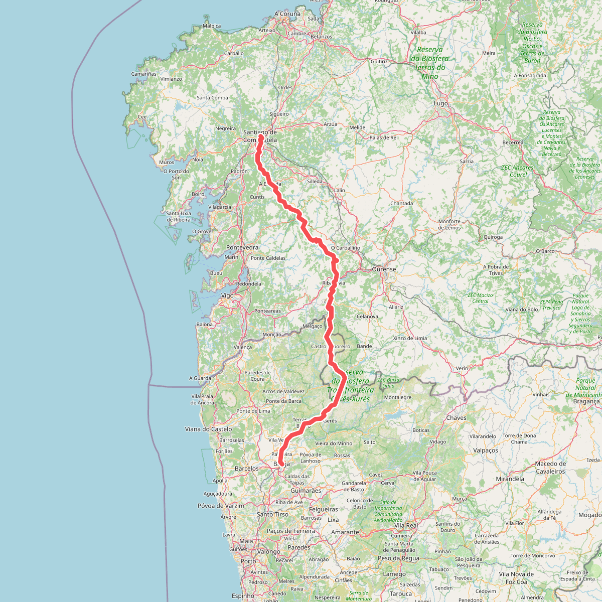
#1. Caminho da Geira e dos Arrieiros
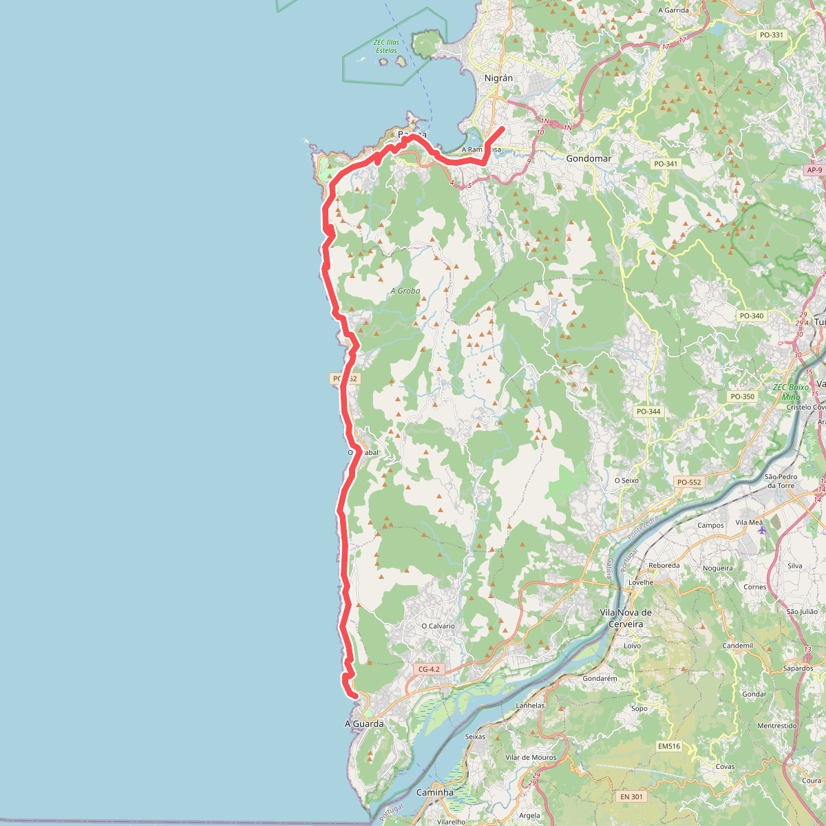
#2. Caminho Português da Costa (A Guarda - A Ramalosa)
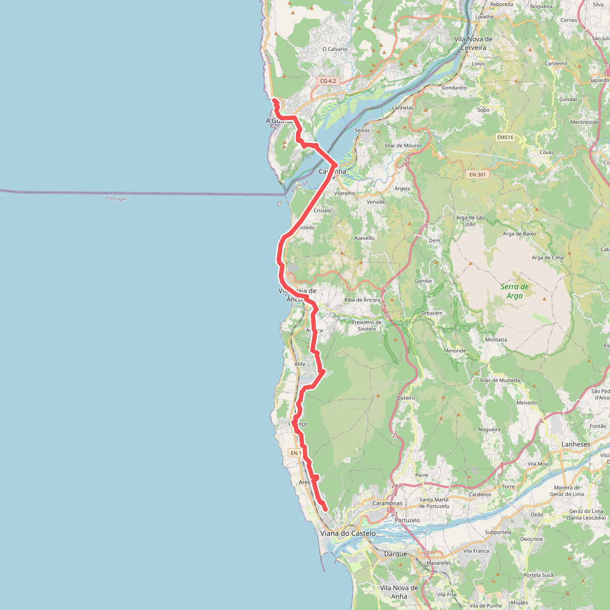
#3. Caminho Português da Costa (Viana do Castelo - A Guarda)
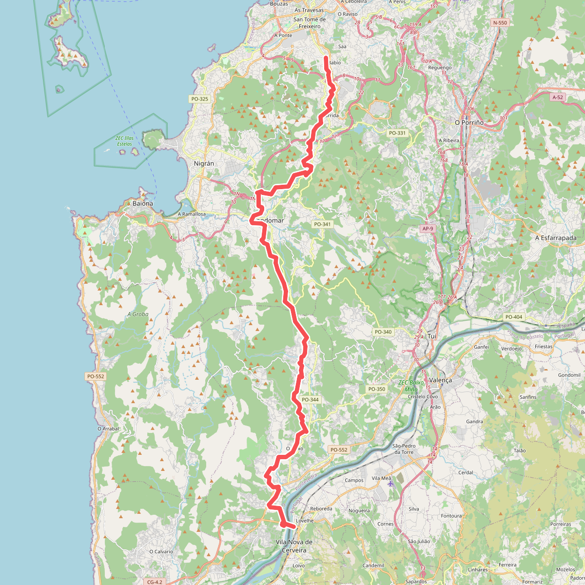
#4. Caminho Português de Nossa Senhora do Norte
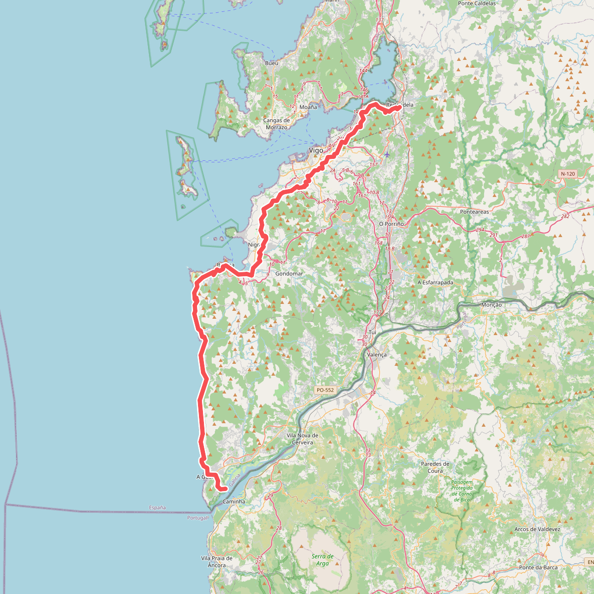
#5. Caminho Português de Santiago
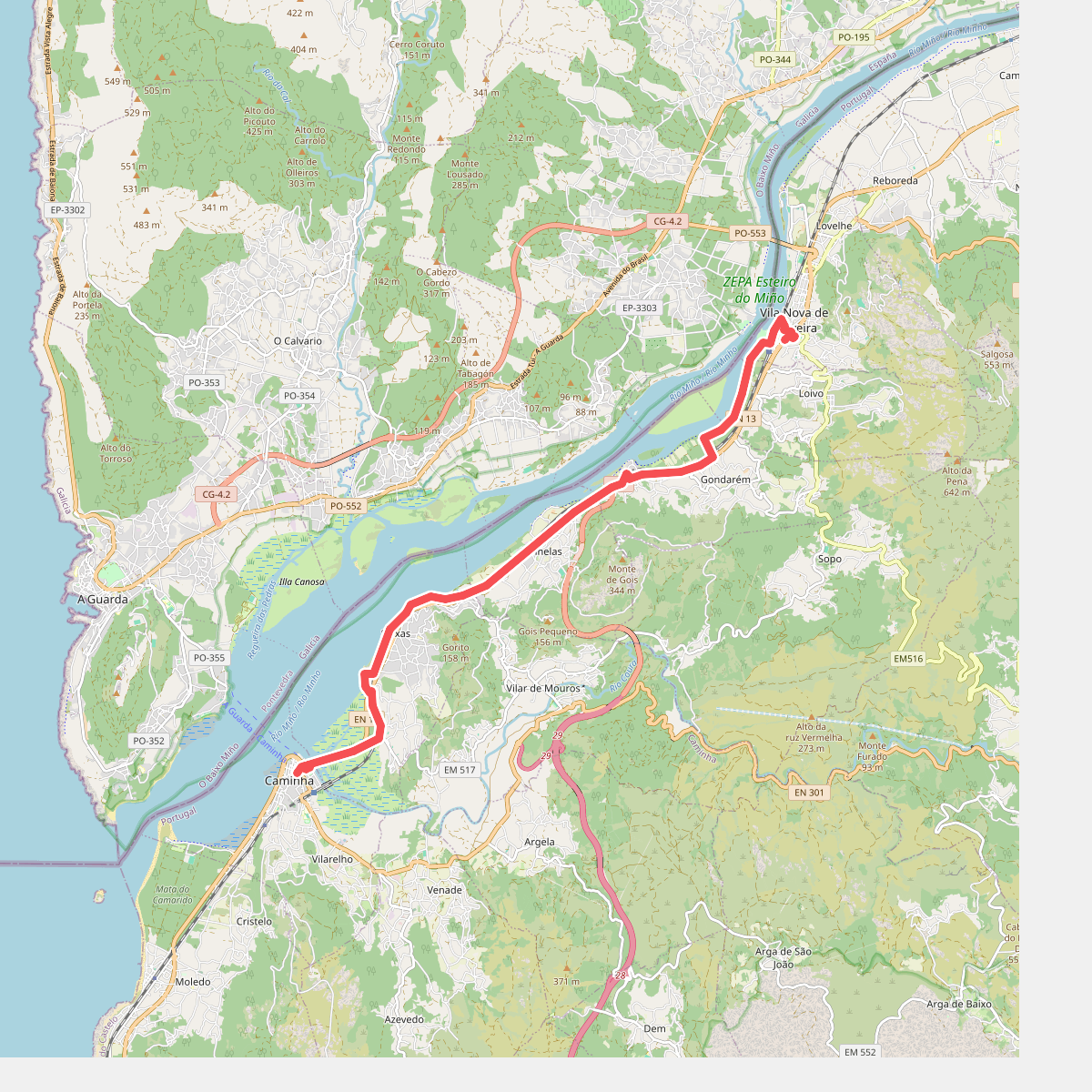
#6. Camino Caminha - Vila Nova de Cerveira
Caminha,Vila Nova de Cerveira
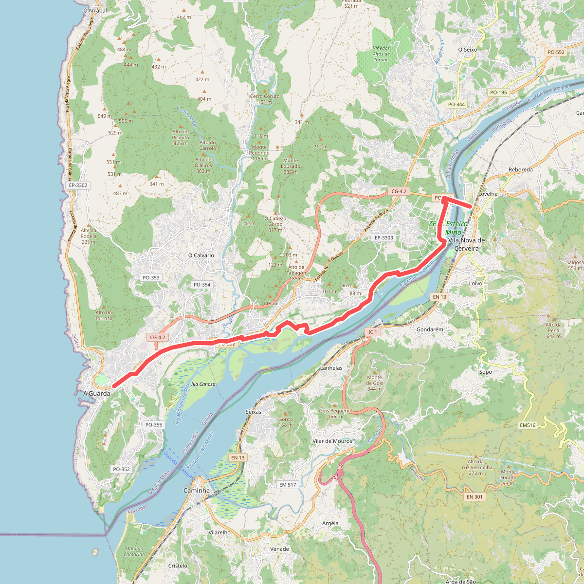
#7. Camiño Portugués da Costa
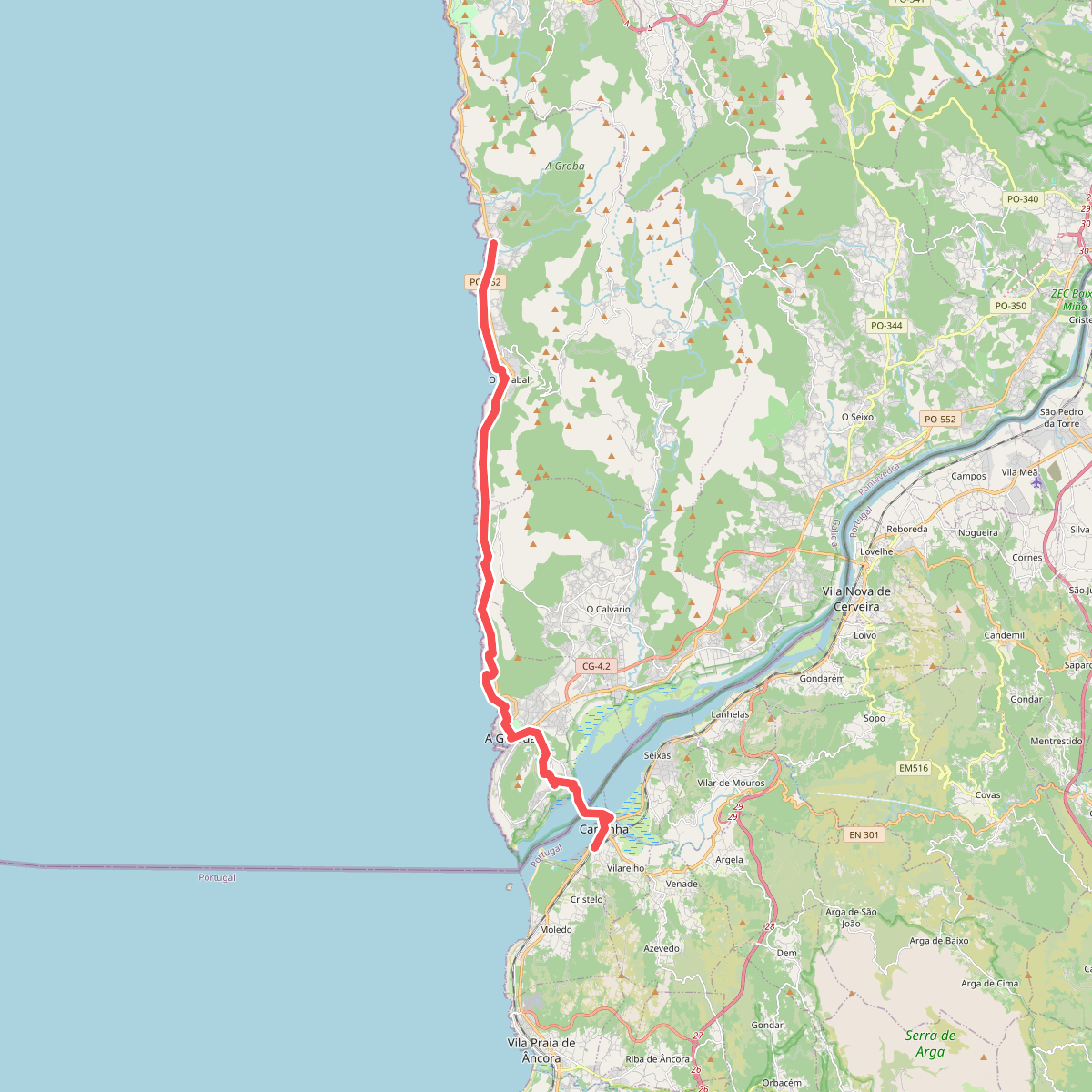
#8. Camino Portuguese da costa Caminha - Viladesuso
Caminha
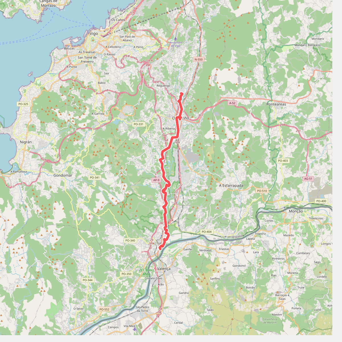
#9. Camino Tui - Veigadaña
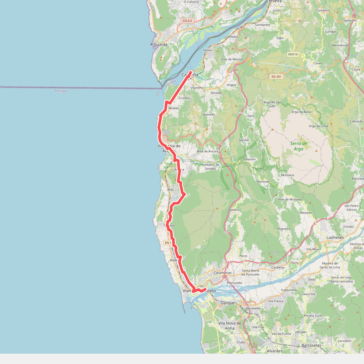
#10. Camino Viana do Castelo - Caminha
Viana do Castelo,Caminha,Vila Praia de Âncora
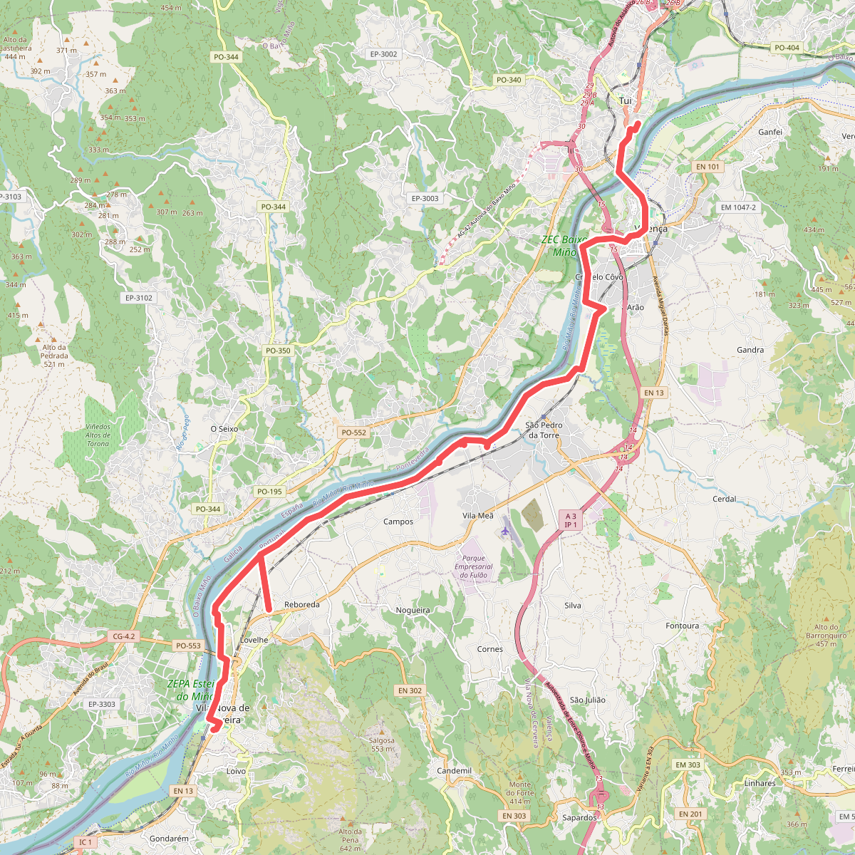
#11. Camino Vila Nova de Cerveira - Tui
Vila Nova de Cerveira,Valença