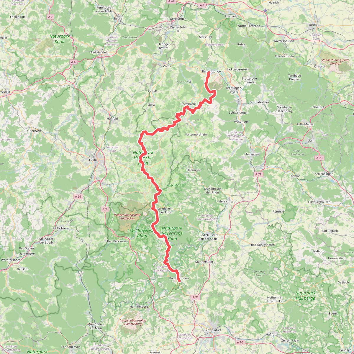
The best hiking routes in Wälder und Trockenstandorte bei Bad Kissingen und Münnerstadt
Discover the best walks in Wälder und Trockenstandorte bei Bad Kissingen und Münnerstadt. 44 routes on the map, with descriptions, photos and GPX.
About Wälder und Trockenstandorte bei Bad Kissingen und Münnerstadt
Wälder und Trockenstandorte bei Bad Kissingen und Münnerstadt offers a landscape defined by the contrast between dense, shaded beech forests and open, sun-baked limestone grasslands. Walking here means transitioning quickly from cool, canopy-covered woodland tracks to exposed slopes where thin soils support specialized, drought-tolerant flora. The terrain is characterized by gently rolling hills rather than dramatic peaks, making it suitable for steady, moderate walking on a mix of packed-earth forest paths and stony, unpaved tracks.
Read more
About Wälder und Trockenstandorte bei Bad Kissingen und Münnerstadt
Wälder und Trockenstandorte bei Bad Kissingen und Münnerstadt offers a landscape defined by the contrast between dense, shaded beech forests and open, sun-baked limestone grasslands. Walking here means transitioning quickly from cool, canopy-covered woodland tracks to exposed slopes where thin soils support specialized, drought-tolerant flora. The terrain is characterized by gently rolling hills rather than dramatic peaks, making it suitable for steady, moderate walking on a mix of packed-earth forest paths and stony, unpaved tracks.
Read moreWälder und Trockenstandorte bei Bad Kissingen und Münnerstadt offers a landscape defined by the contrast between dense, shaded beech forests and open, sun-baked limestone grasslands. Walking here means transitioning quickly from cool, canopy-covered woodland tracks to exposed slopes where thin soils support specialized, drought-tolerant flora. The terrain is characterized by gently rolling hills rather than dramatic peaks, making it suitable for steady, moderate walking on a mix of packed-earth forest paths and stony, unpaved tracks.
You will notice the geological transition underfoot. The forest sections feature deep, leaf-littered soils, while the open slopes reveal crumbly limestone fragments and thin topsoil. These dry grasslands are the result of centuries of traditional sheep grazing, which prevented forest encroachment and created a habitat where wild orchids and herbs thrive. In June, these open patches are particularly distinct, marked by the scent of wild thyme and the hum of insects.
This area is not a wilderness of endless views, but a structured mosaic of forestry and conservation zones. While the shaded forest tracks remain relatively cool and quiet, the open limestone slopes are fully exposed to the elements. The paths are generally firm but can be uneven due to loose stones on the steeper gradients, requiring basic, sturdy footwear rather than specialized climbing gear.
Hiking routes in Wälder und Trockenstandorte bei Bad Kissingen und Münnerstadt (44)
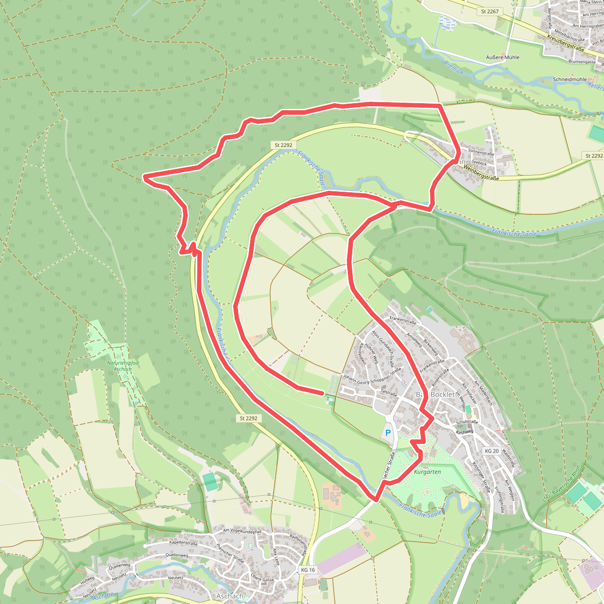
#1. Bad Bocklet - Rundweg BB8
Bad Bocklet
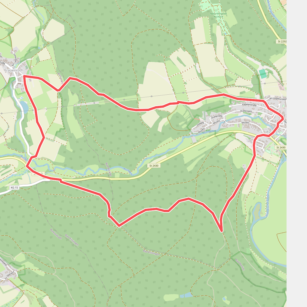
#2. Bad Bocklet - Rundweg F
Bad Bocklet,Bad Kissingen,Burkardroth
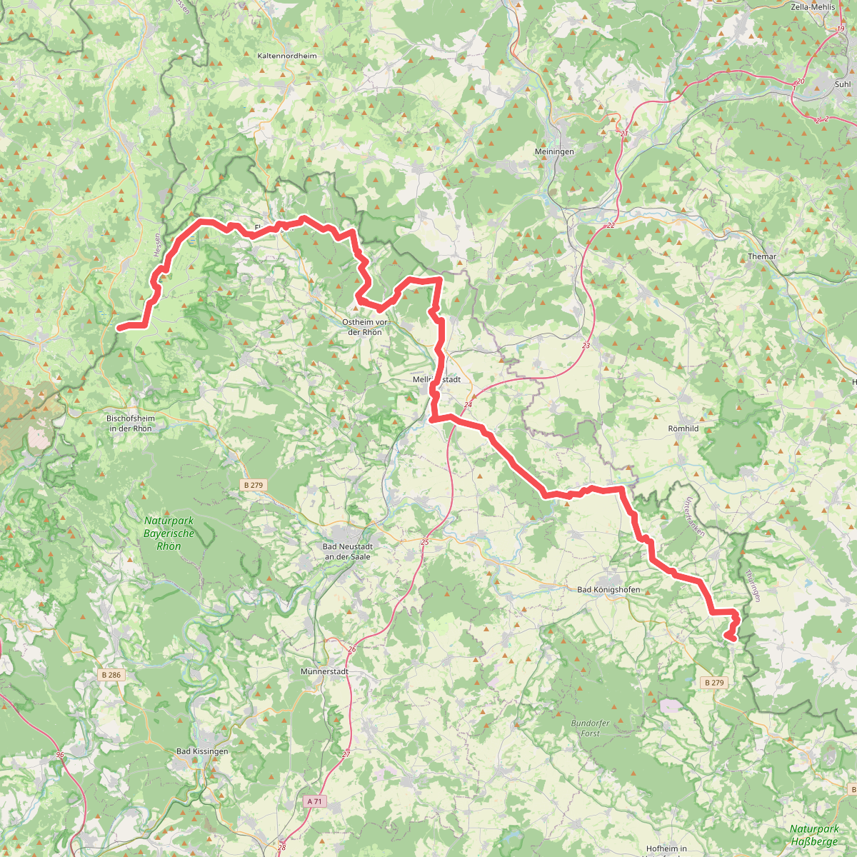
#3. Europäischer Fernwanderweg E3, Bayrische Rhön
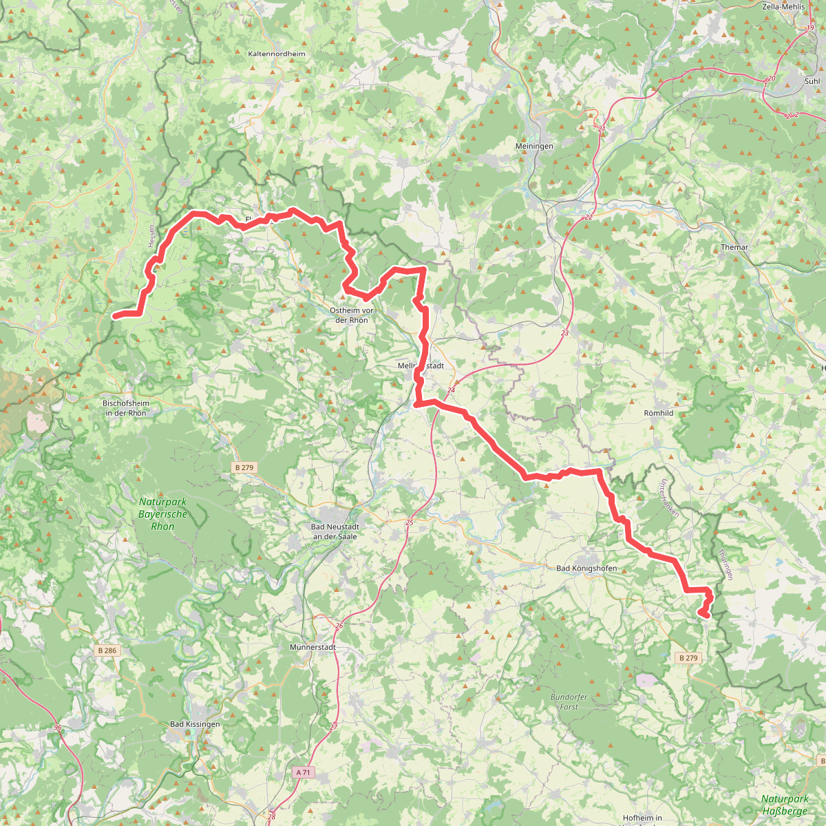
#4. Europäischer Fernwanderweg E6, Deutschland, Bayrische Rhön
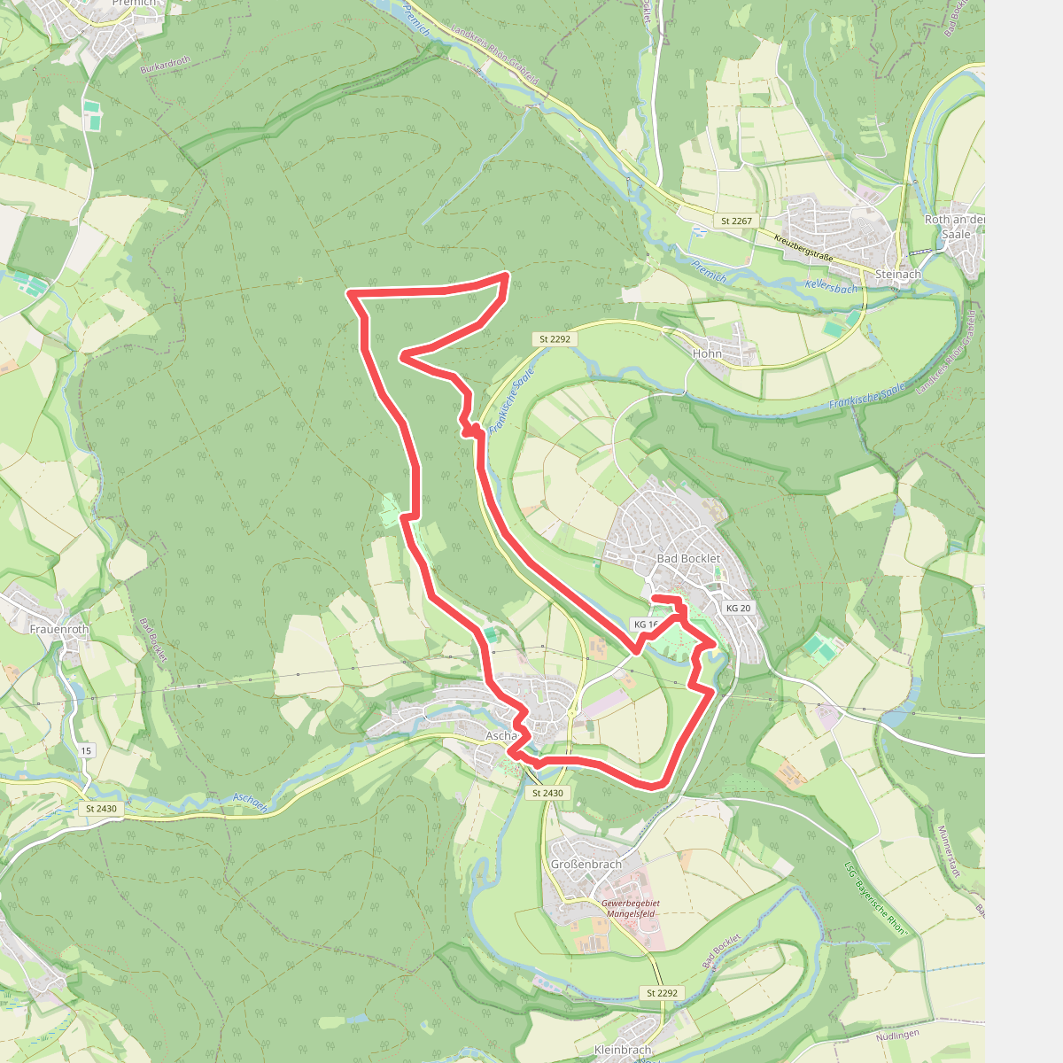
#5. Extratour Bad Bockleter
Bad Bocklet
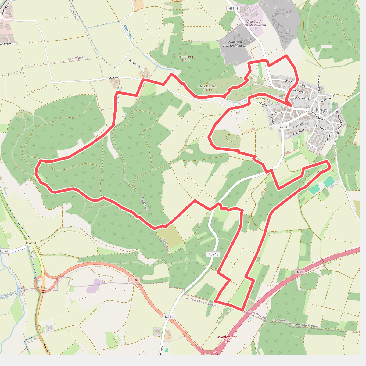
#6. Extratour Strahlungen
Strahlungen,Burglauer,Salz
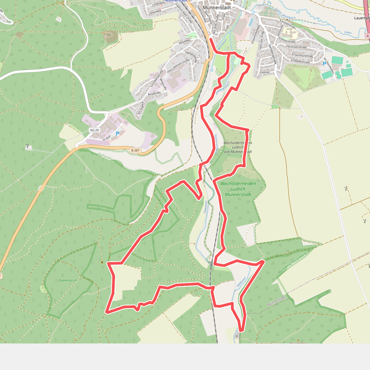
#7. Extratour Wacholderheide
Münnerstadt,Maßbach
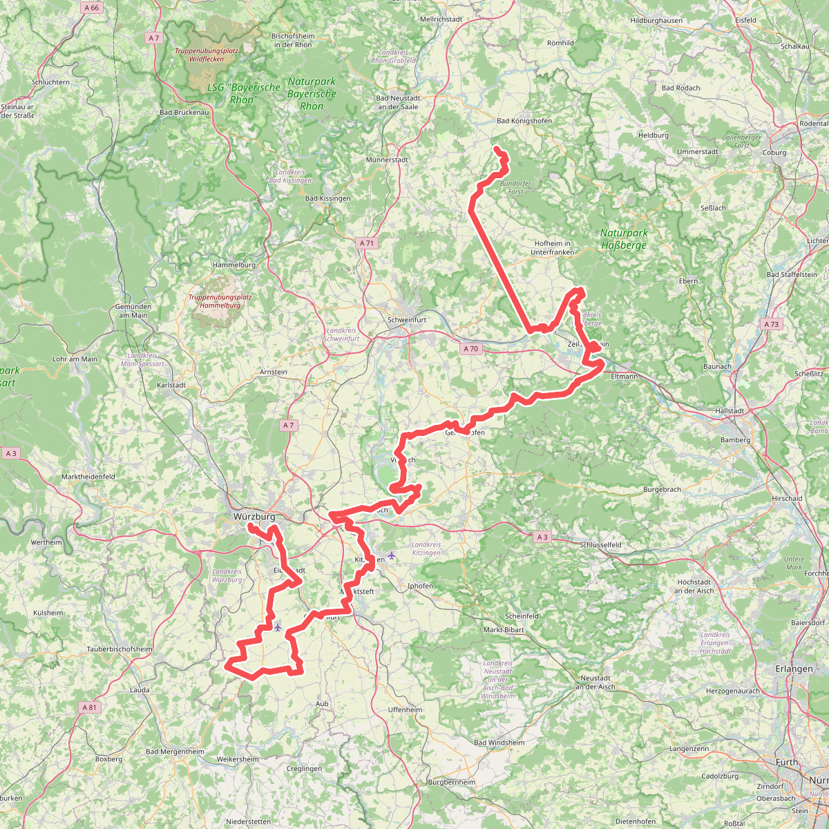
#8. Fränkischer Marienweg Route 3
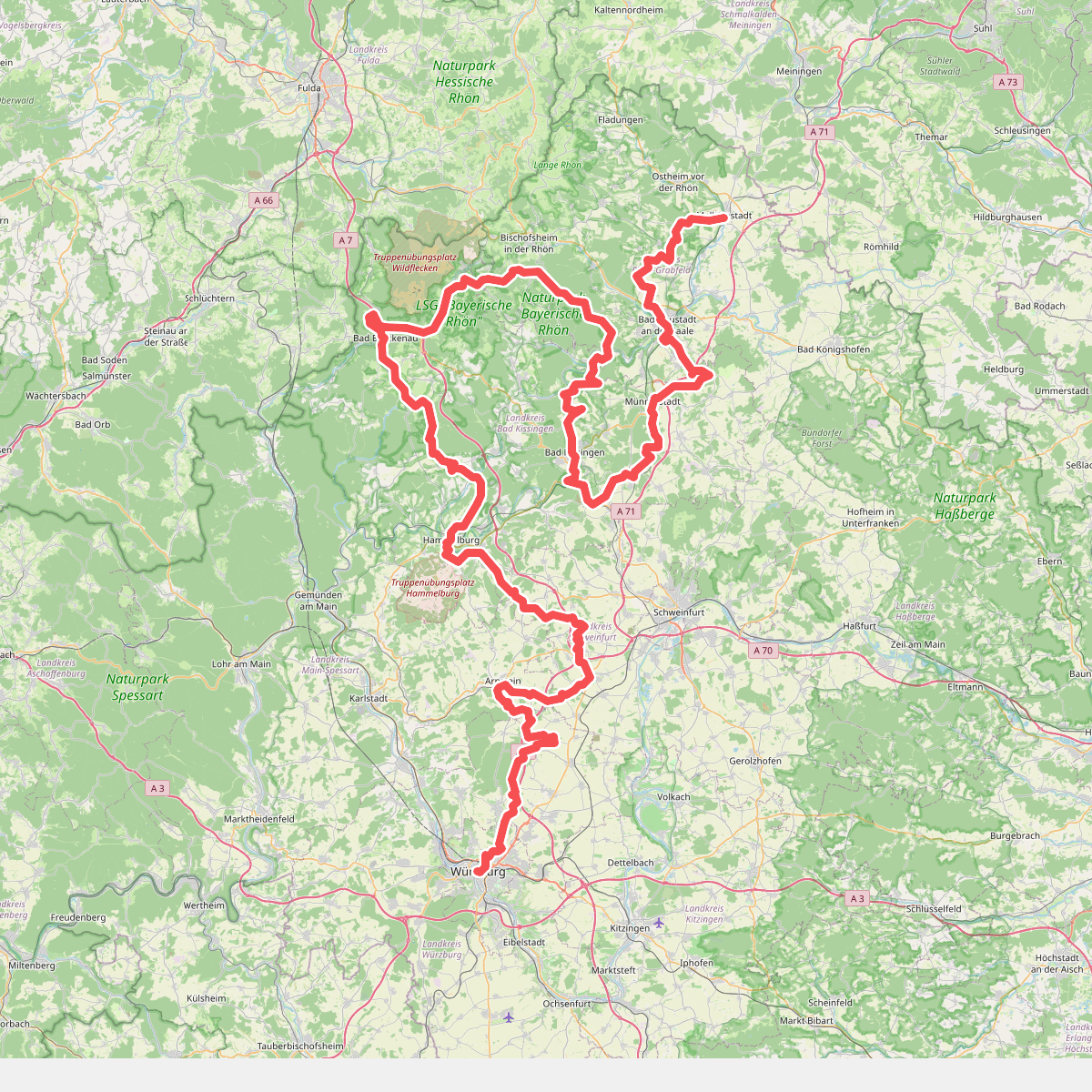
#9. Fränkischer Marienweg Route 4
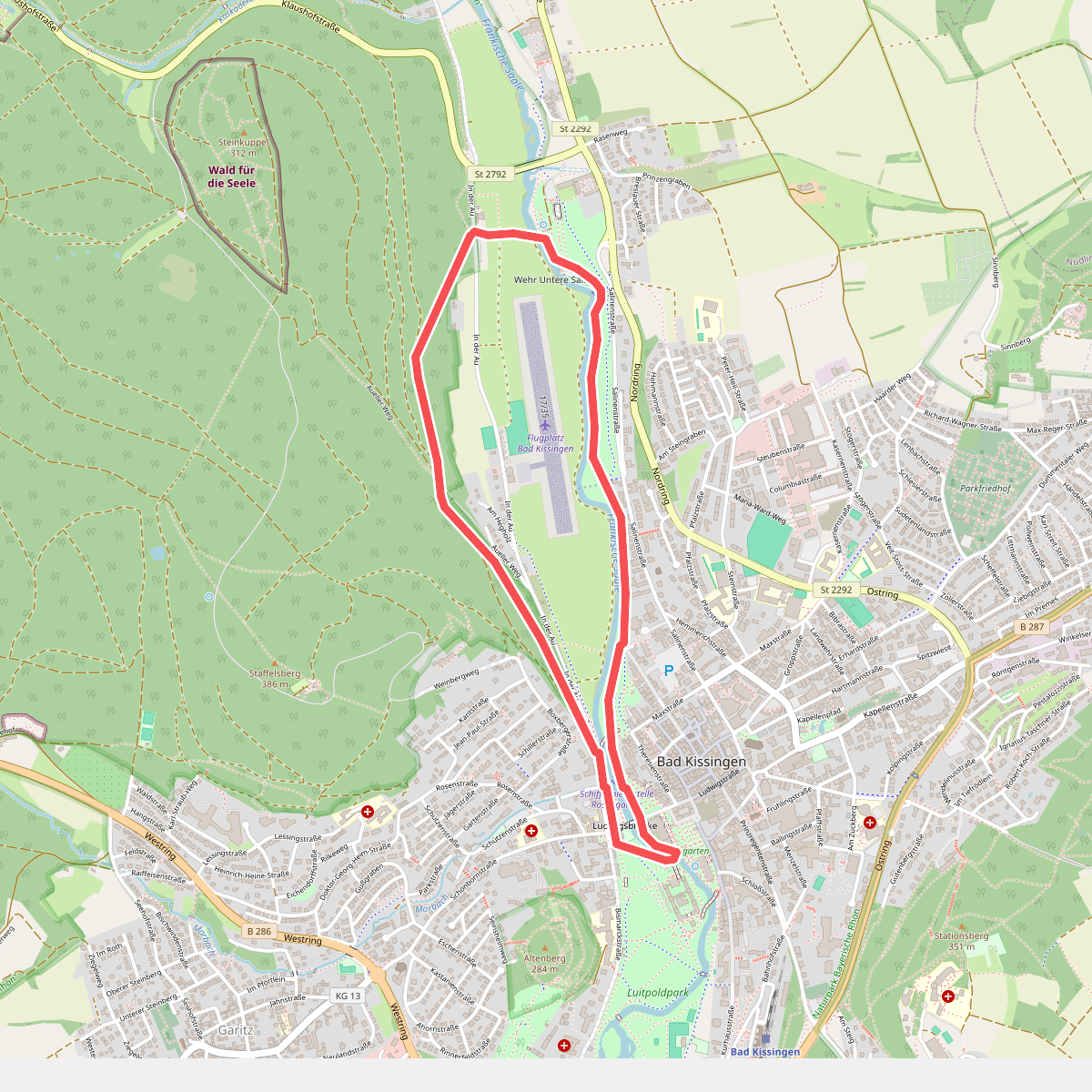
#10. Gradierwerk-Tour
Bad Kissingen
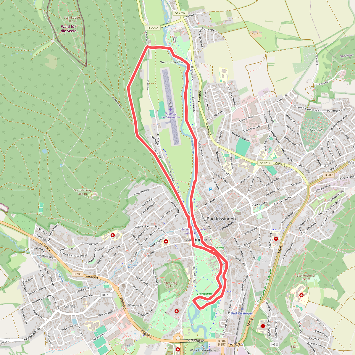
#11. Heilwasser-Tour
Bad Kissingen