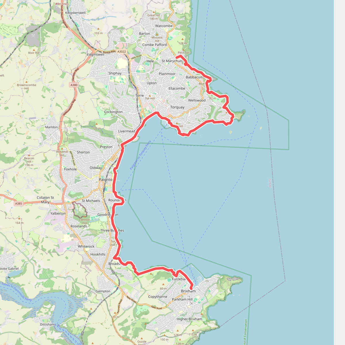
The best hiking routes in South Devon National Landscape
Discover the best walks in South Devon National Landscape. 7 routes on the map, with descriptions, photos and GPX.
About South Devon National Landscape
South Devon National Landscape offers a coastal and river-basin terrain characterized by steep-sided rias, which are drowned river valleys, and low, rolling agricultural plateaus. Unlike mountainous regions, the elevation here remains modest, with the highest points rarely exceeding one hundred and fifty meters. Walkers will find a distinct contrast between the exposed, rugged cliffs of the South West Coast Path and the sheltered, wooded shorelines of the Dart, Kingsbridge, and Yealm estuaries. The landscape is heavily shaped by historic farming, meaning paths often run between high, ancient earth banks topped with hedgerows that restrict wider views but provide shelter.
Read more
About South Devon National Landscape
South Devon National Landscape offers a coastal and river-basin terrain characterized by steep-sided rias, which are drowned river valleys, and low, rolling agricultural plateaus. Unlike mountainous regions, the elevation here remains modest, with the highest points rarely exceeding one hundred and fifty meters. Walkers will find a distinct contrast between the exposed, rugged cliffs of the South West Coast Path and the sheltered, wooded shorelines of the Dart, Kingsbridge, and Yealm estuaries. The landscape is heavily shaped by historic farming, meaning paths often run between high, ancient earth banks topped with hedgerows that restrict wider views but provide shelter.
Read moreSouth Devon National Landscape offers a coastal and river-basin terrain characterized by steep-sided rias, which are drowned river valleys, and low, rolling agricultural plateaus. Unlike mountainous regions, the elevation here remains modest, with the highest points rarely exceeding one hundred and fifty meters. Walkers will find a distinct contrast between the exposed, rugged cliffs of the South West Coast Path and the sheltered, wooded shorelines of the Dart, Kingsbridge, and Yealm estuaries. The landscape is heavily shaped by historic farming, meaning paths often run between high, ancient earth banks topped with hedgerows that restrict wider views but provide shelter.
Underfoot, the terrain varies significantly depending on your choice of path. The coastal trail consists of narrow, dirt tracks worn into the slate and shale bedrock, frequently interrupted by steep flights of stone or wooden steps where the path descends into coves. In contrast, the estuary walks follow tidal mudflats, salt marshes, and damp woodland tracks where tree roots cross the path. Several crossings rely on small passenger ferries or tidal causeways, which require careful timing around the daily high tides to avoid long detours.
In late spring, particularly during May, the coastal slopes are covered in flowering gorse and thrift, while the oak woods along the creeks show fresh green foliage. The area does not offer vast wilderness; instead, it is a working landscape where walkers regularly pass through active pastures, historic fishing villages, and small orchards. While popular coastal hubs like Salcombe and Hope Cove attract large numbers of visitors, the inland creek paths and the quieter stretches toward Start Point offer a much more solitary walking-focused experience away from the holiday crowds.
Hiking routes in South Devon National Landscape (7)
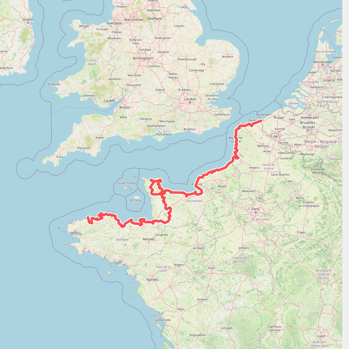
#1. Eurovelo 4
Roscoff,Saint-Pol-de-Léon,Plouénan,Taulé,Saint-Martin-des-Champs,Morlaix,Plouezoc'h,Plougasnou,Saint-Jean-du-Doigt,Guimaëc,Locquirec,Plestin-les-Grèves,Saint-Michel-en-Grève,Ploumilliau,Ploubezre,Lannion,Trébeurden,Pleumeur-Bodou,Trégastel,Perros-Guirec,Louannec,Camlez,Penvénan,Plouguiel,Trédarzec,Pleumeur-Gautier,Lézardrieux,Paimpol,Plouézec,Plouha,Tréveneuc,Binic-Étables-sur-Mer,Pordic,Plérin,Saint-Brieuc,Langueux,Hillion,Lamballe-Armor,Pléneuf-Val-André,Erquy,Fréhel,Plévenon,Pléboulle,Matignon,Saint-Cast-le-Guildo,Beaussais-sur-Mer,Tréméreuc,Plouër-sur-Rance,Saint-Suliac,Saint-Père-Marc-en-Poulet,Saint-Malo,Saint-Coulomb,Cancale,Saint-Méloir-des-Ondes,Hirel,Cherrueix,France métropolitaine,Roz-sur-Couesnon,Pontorson,Courtils,Céaux,Poilley,Ducey-les-Chéris,Isigny-le-Buat,Grandparigny,Romagny Fontenay,Saint-Clément-Rancoudray,Sourdeval,Vire Normandie,Souleuvre-en-Bocage,Pont-Bellanger,Tessy-Bocage,Fourneaux,Condé-sur-Vire,Bourgvallées,Saint-Lô,Agneaux,Pont-Hébert,Airel
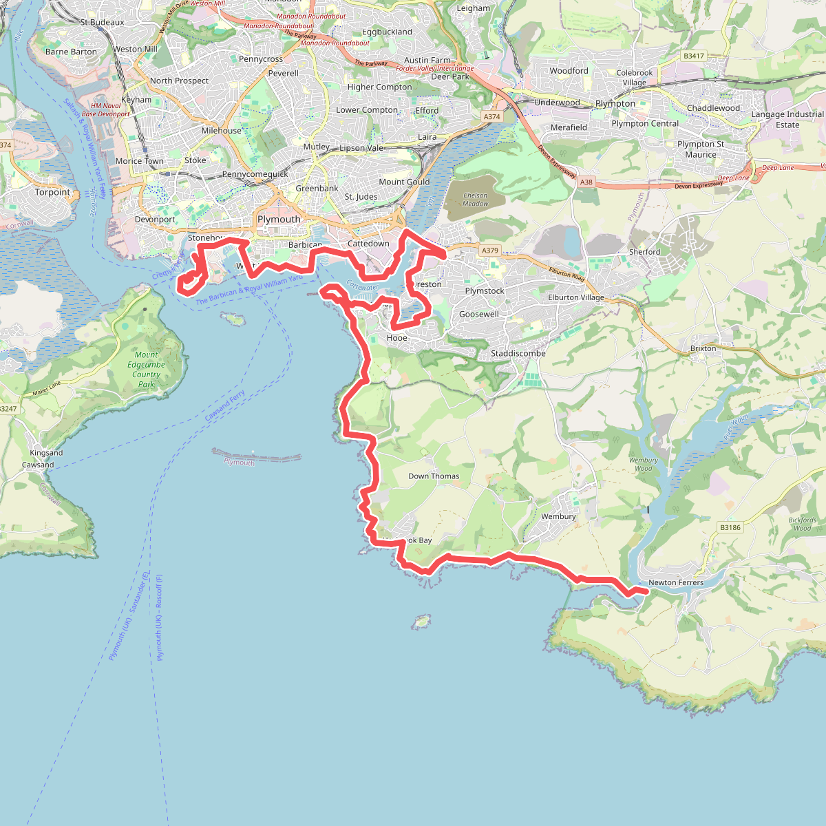
#2. South West Coast Path (Section 36: Plymouth to Wembury Point)
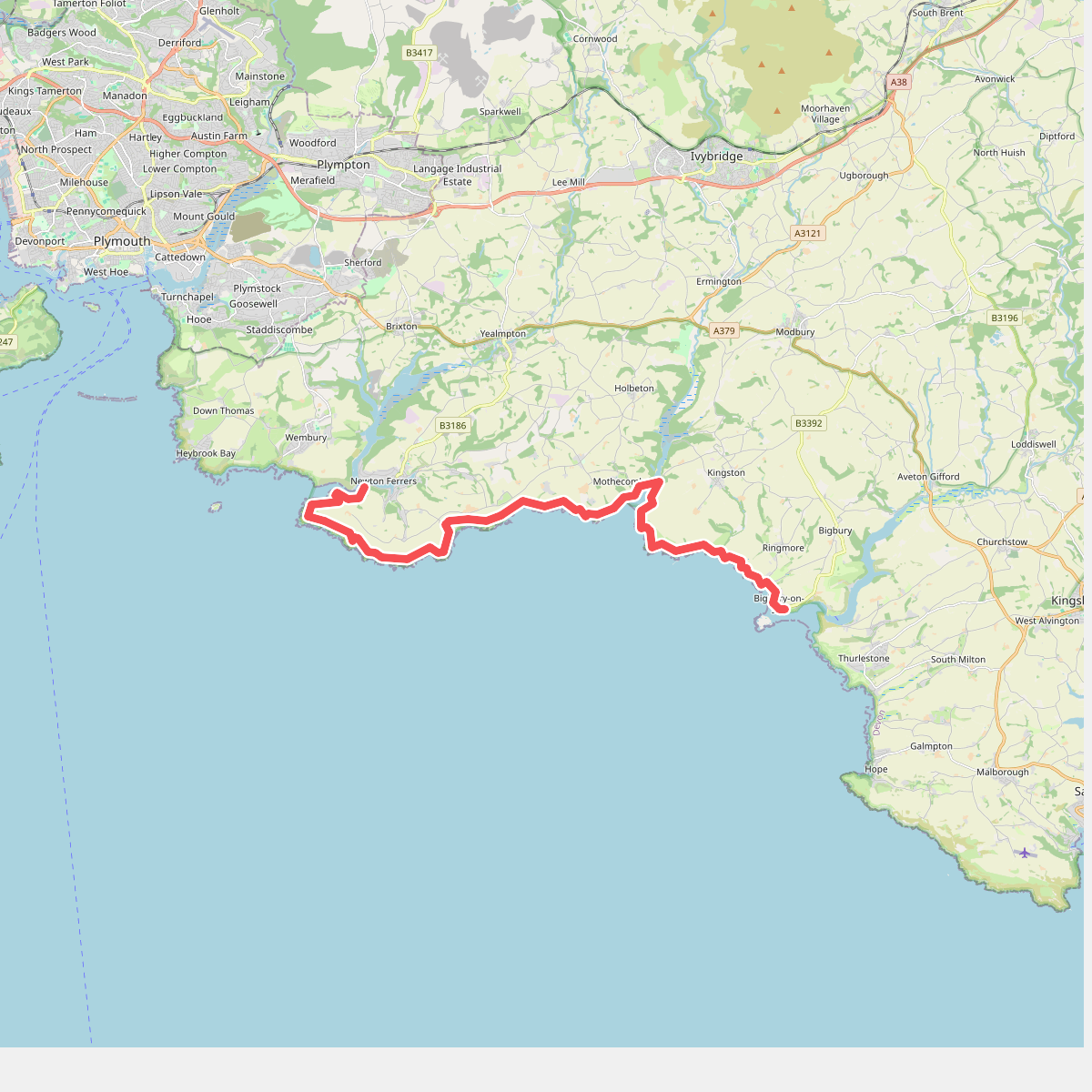
#3. South West Coast Path (section 37 Newton Ferrers to Bigbury on Sea)
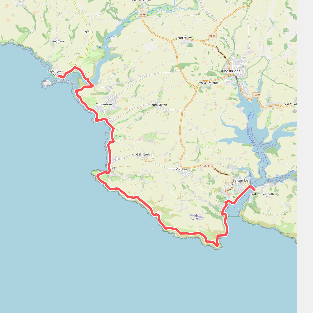
#4. South West Coast Path (Section 38: Bigbury on Sea to Salcombe)
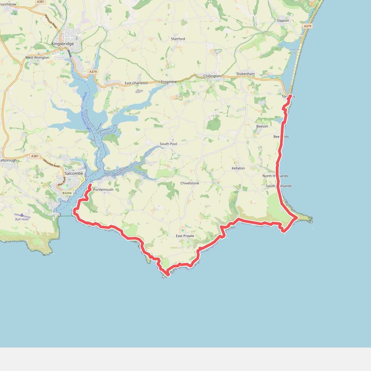
#5. South West Coast Path (Section 39: Salcombe to Torcross)
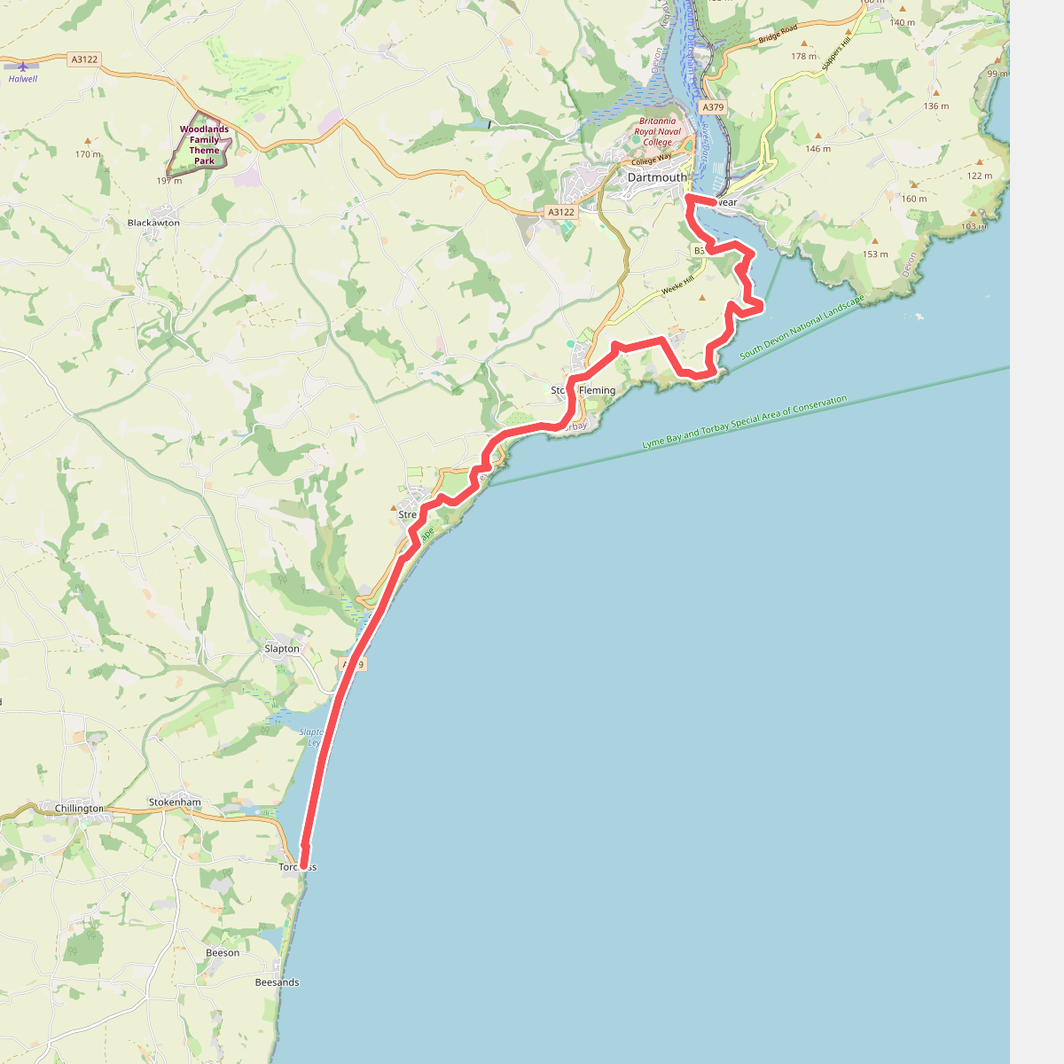
#6. South West Coast Path (Section 40: Torcross to Dartmouth)