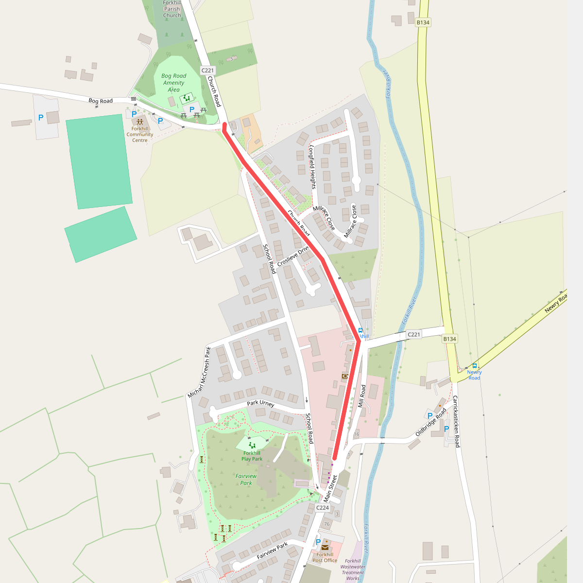
The best hiking routes in Ring of Gullion AONB
Discover the best walks in Ring of Gullion AONB. 10 routes on the map, with descriptions, photos and GPX.
About Ring of Gullion AONB
The Ring of Gullion AONB is defined by a distinct geological formation: a circular ring dike of low, rugged hills encircling the central volcanic plug of Slieve Gullion. Unlike the vast peat expanses of the nearby Mourne Mountains, this landscape is a mosaic of small, stone-walled fields, dense deciduous woodland, and wet heath. Walkers will notice how the geology dictates the paths, which transition quickly from narrow, paved country lanes to rough, uneven tracks over granite bedrock and heather-covered slopes.
Read more
About Ring of Gullion AONB
The Ring of Gullion AONB is defined by a distinct geological formation: a circular ring dike of low, rugged hills encircling the central volcanic plug of Slieve Gullion. Unlike the vast peat expanses of the nearby Mourne Mountains, this landscape is a mosaic of small, stone-walled fields, dense deciduous woodland, and wet heath. Walkers will notice how the geology dictates the paths, which transition quickly from narrow, paved country lanes to rough, uneven tracks over granite bedrock and heather-covered slopes.
Read moreThe Ring of Gullion AONB is defined by a distinct geological formation: a circular ring dike of low, rugged hills encircling the central volcanic plug of Slieve Gullion. Unlike the vast peat expanses of the nearby Mourne Mountains, this landscape is a mosaic of small, stone-walled fields, dense deciduous woodland, and wet heath. Walkers will notice how the geology dictates the paths, which transition quickly from narrow, paved country lanes to rough, uneven tracks over granite bedrock and heather-covered slopes.
Underfoot, the terrain varies considerably depending on your altitude. Lower trails follow farm tracks and muddy woodland paths where tree roots require careful footing, particularly in the deciduous woods around Camlough Mountain. As you ascend Slieve Gullion itself, the path becomes a mix of gravel, steep stone steps, and sections of wooden boardwalk designed to protect the fragile blanket bog near the summit cairn. The lower slopes feature dense gorse and bracken, while the higher ground is dominated by heather and exposed rock.
This area does not offer alpine peaks or deep, dramatic gorges; instead, it presents a complex, undulating terrain of heather-clad hills and small lakes like Camlough. In August, the hillsides turn a deep purple as the heather blooms, contrasting with the green pastureland below. It is a working agricultural landscape where quiet, rural lanes are as much a part of the walking network as the open mountain paths.
Hiking routes in Ring of Gullion AONB (10)
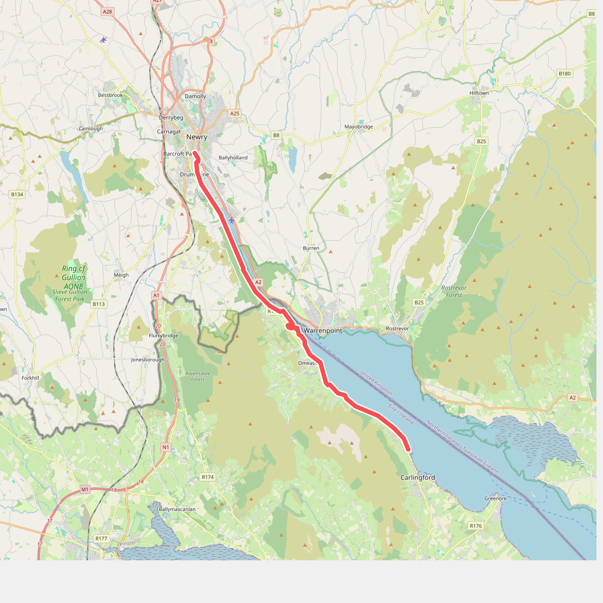
#1. Carlingford Lough Greenway
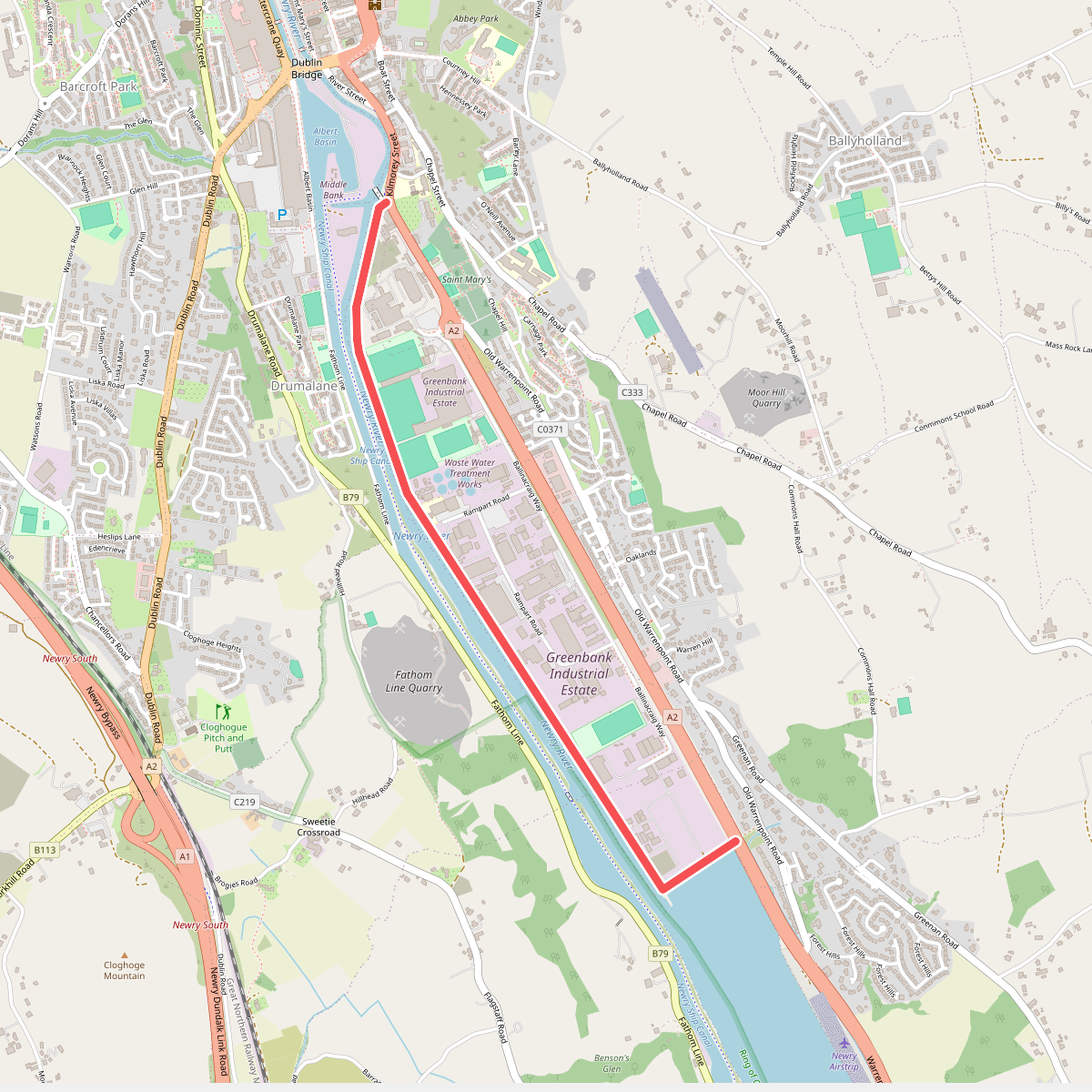
#2. Greenbank Trail
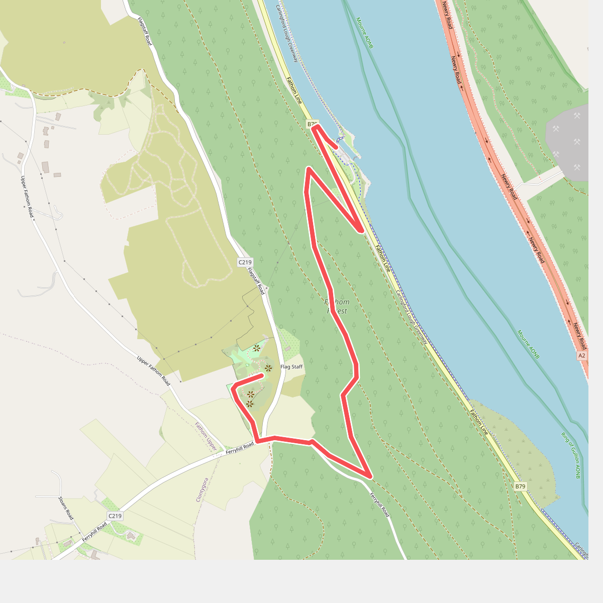
#3. Lock-Keeper's Pad
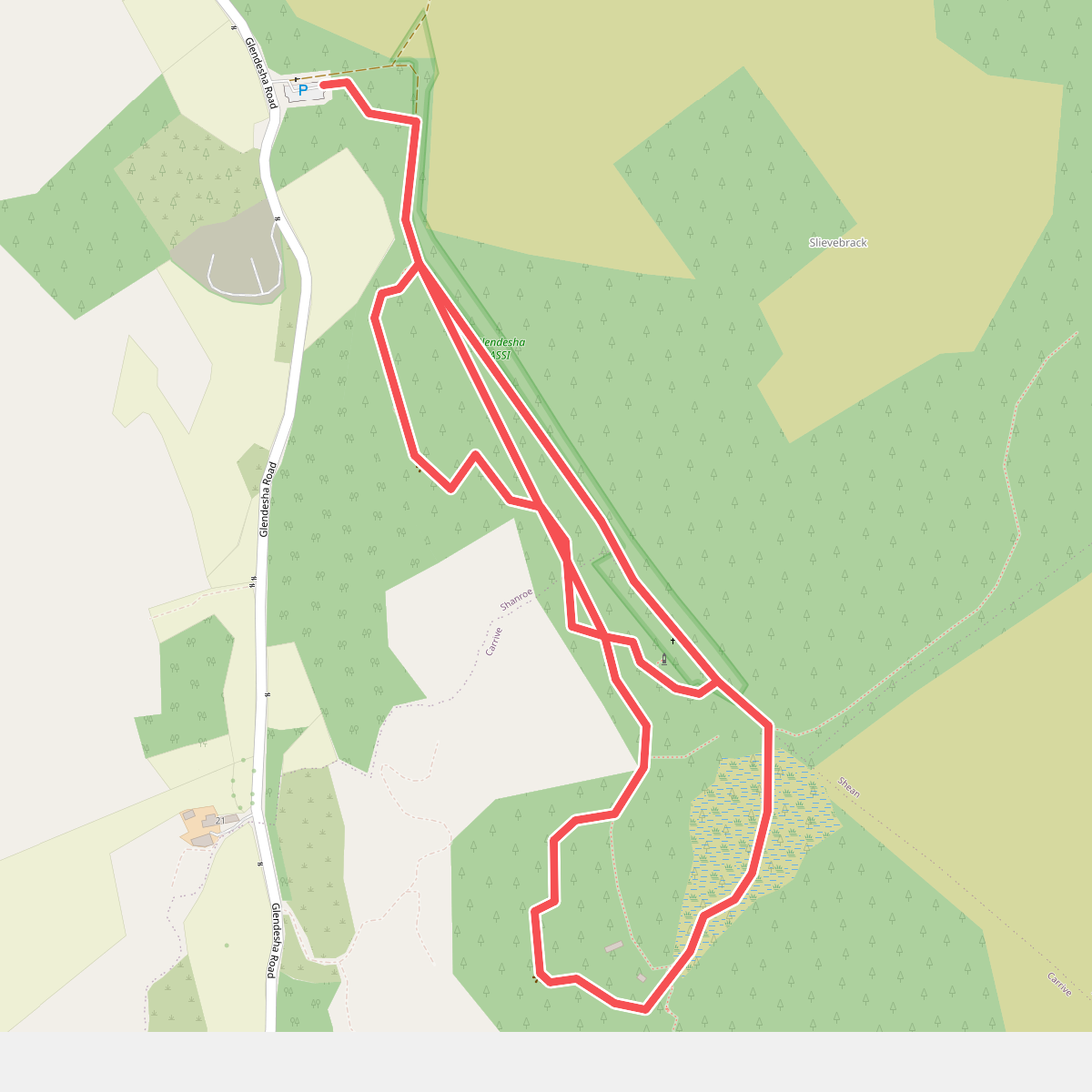
#4. Mass Rock Loop Trail
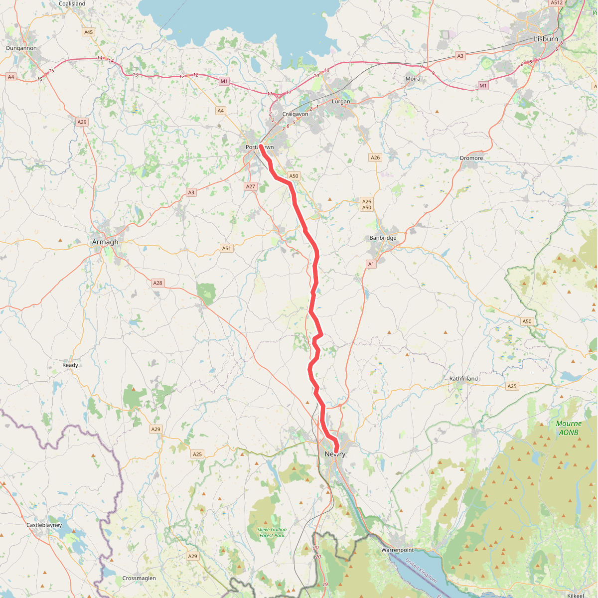
#5. Newry Canal Way
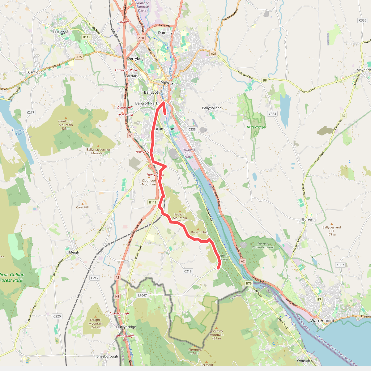
#6. Ring of Gullion Way - Section 1
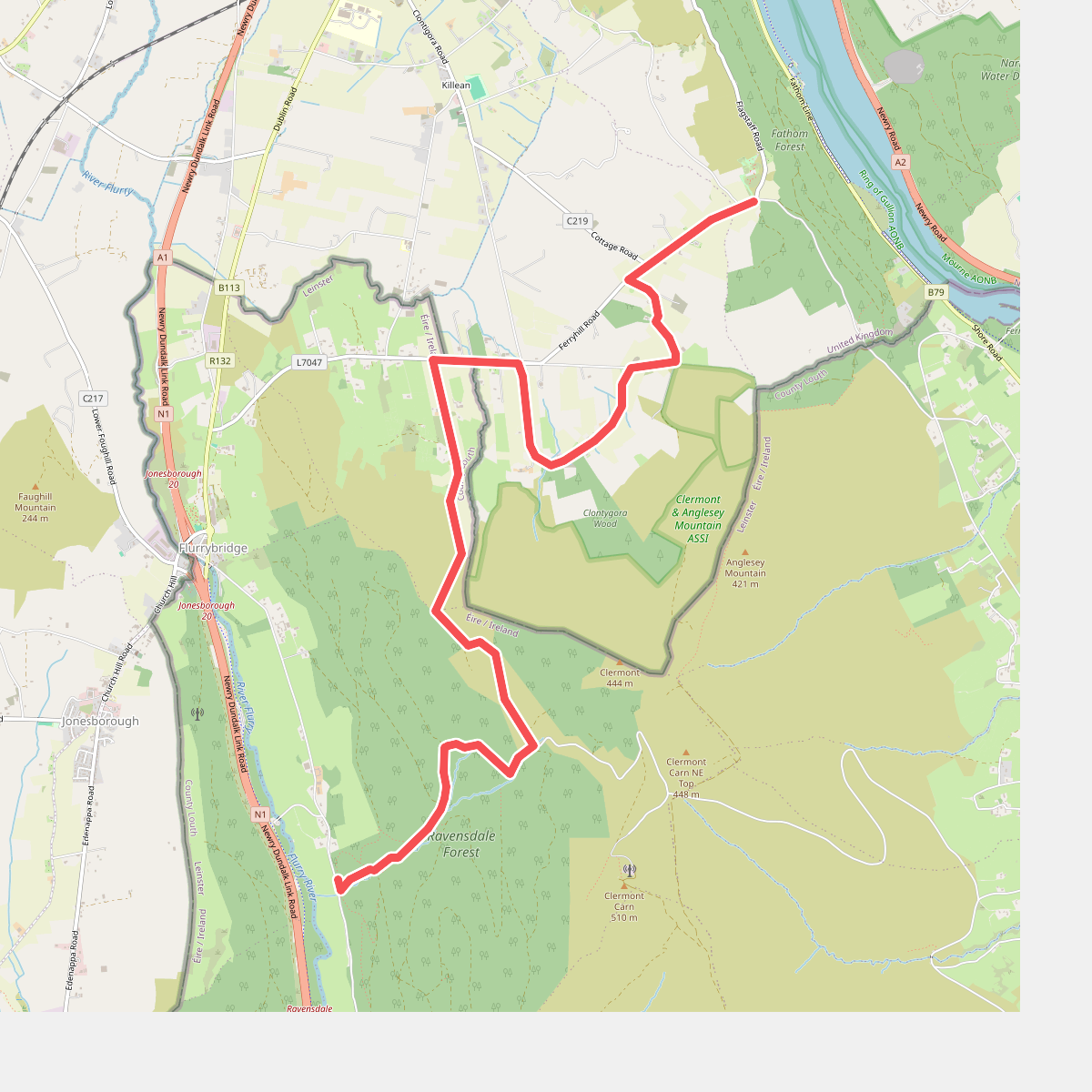
#7. Ring of Gullion Way - Section 2
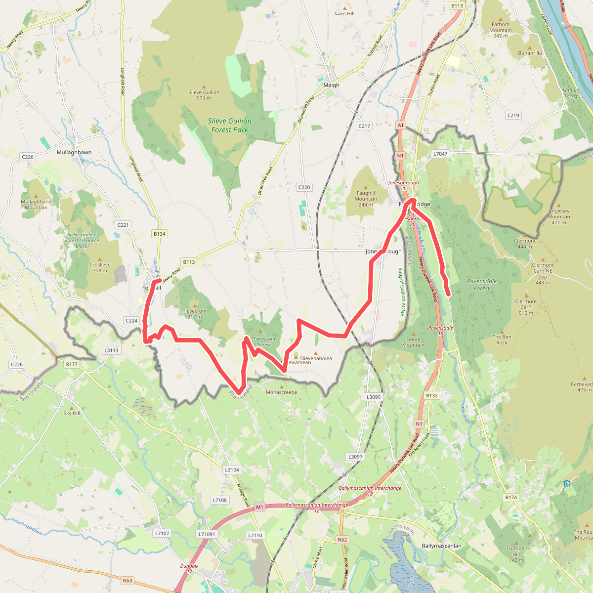
#8. Ring of Gullion Way - Section 3
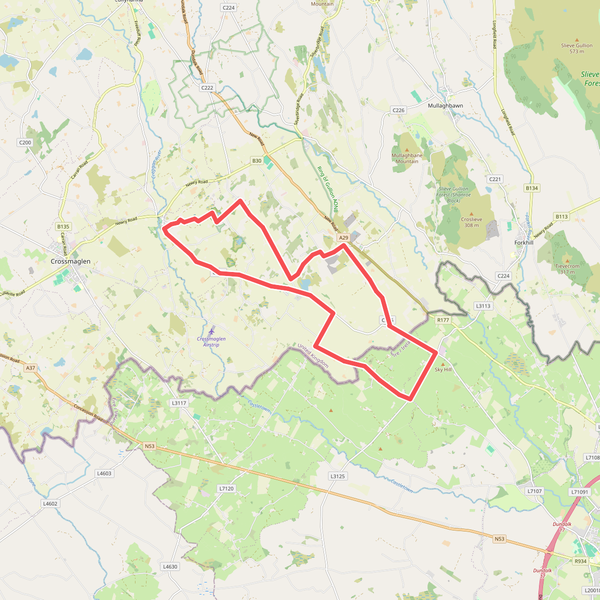
#9. The Poets' Trail - Creggan Route