

The best hiking routes in Parque Nacional del Teide
Discover the best walks in Parque Nacional del Teide. 36 routes on the map, with descriptions, photos and GPX.
About Parque Nacional del Teide
Parque Nacional del Teide is a high-altitude volcanic crater basin dominated by the massive cone of Mount Teide. The landscape is defined by stark contrasts between vast plains of light-coloured pumice gravel and dark, jagged fields of basalt lava. Walking here means navigating a high desert where vegetation is sparse, consisting mainly of low, grey-green shrubs like the Teide broom that cling to the dry volcanic soil. There are no forests or running streams inside the caldera, and the terrain is entirely open to the sun.
Read more
About Parque Nacional del Teide
Parque Nacional del Teide is a high-altitude volcanic crater basin dominated by the massive cone of Mount Teide. The landscape is defined by stark contrasts between vast plains of light-coloured pumice gravel and dark, jagged fields of basalt lava. Walking here means navigating a high desert where vegetation is sparse, consisting mainly of low, grey-green shrubs like the Teide broom that cling to the dry volcanic soil. There are no forests or running streams inside the caldera, and the terrain is entirely open to the sun.
Read moreParque Nacional del Teide is a high-altitude volcanic crater basin dominated by the massive cone of Mount Teide. The landscape is defined by stark contrasts between vast plains of light-coloured pumice gravel and dark, jagged fields of basalt lava. Walking here means navigating a high desert where vegetation is sparse, consisting mainly of low, grey-green shrubs like the Teide broom that cling to the dry volcanic soil. There are no forests or running streams inside the caldera, and the terrain is entirely open to the sun.
Underfoot, the paths vary significantly depending on the volcanic flow you cross. Some routes follow wide, sandy tracks of fine gravel that are relatively easy to walk, while others climb over rough, sharp blocks of obsidian and basalt where solid boots are necessary to negotiate the uneven ground. The elevation is a constant factor, as the entire park sits above two thousand metres, making the air noticeably thinner and the climbs more demanding than they appear.
To choose a route, walkers must decide between the flat, expansive walks across the sandy floor of the Ucanca depression and the steep, rocky ascents up the caldera wall or the peak itself. The Roques de García area offers a close look at towering rock pillars shaped by erosion, though these central spots are often busier with visitors. Choosing paths that lead toward the outer rim of the crater generally provides a quieter experience among older, weathered lava formations.
Hiking routes in Parque Nacional del Teide (36)
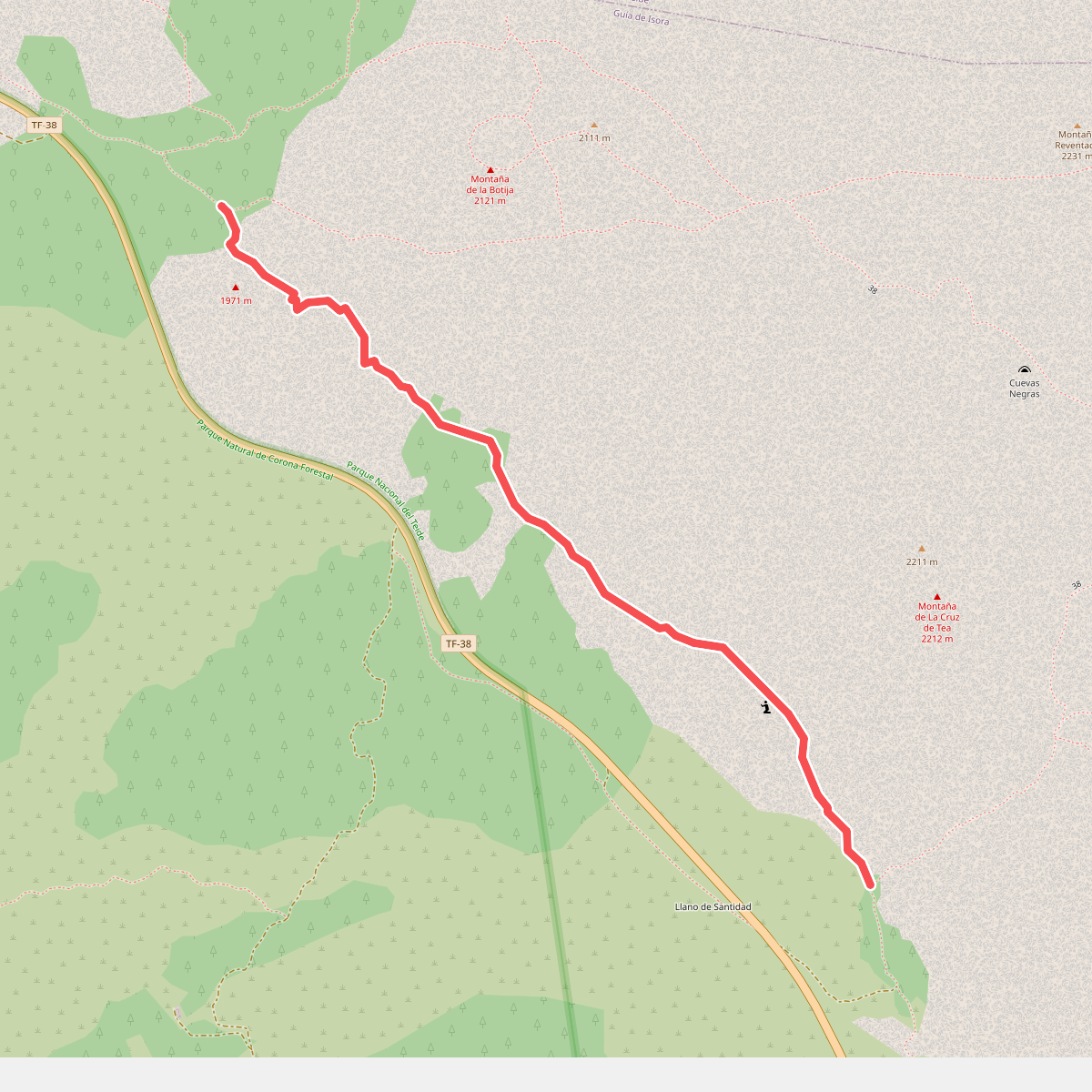
#1. Abeque
Guía de Isora
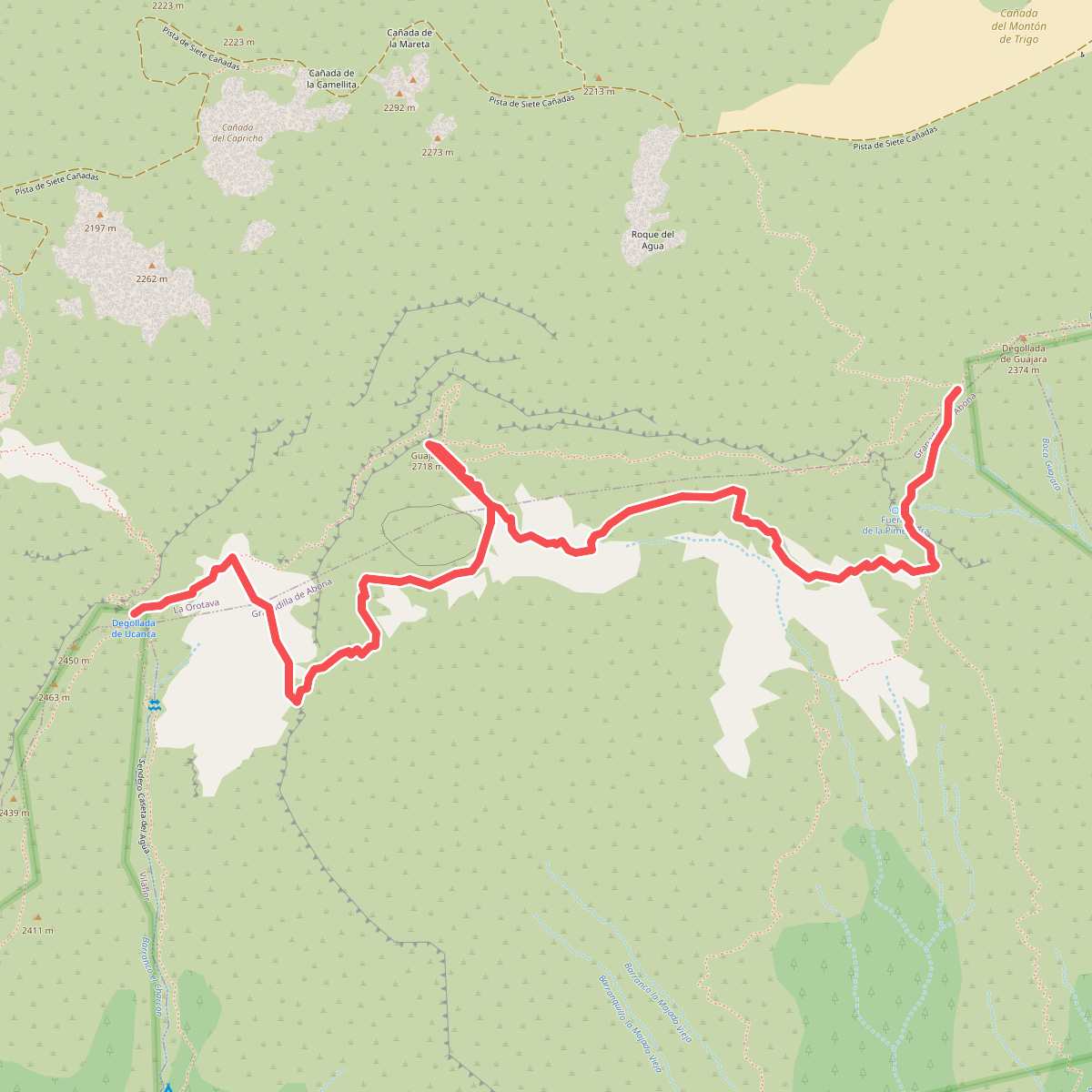
#2. Alto de Guajara
La Orotava,Granadilla de Abona
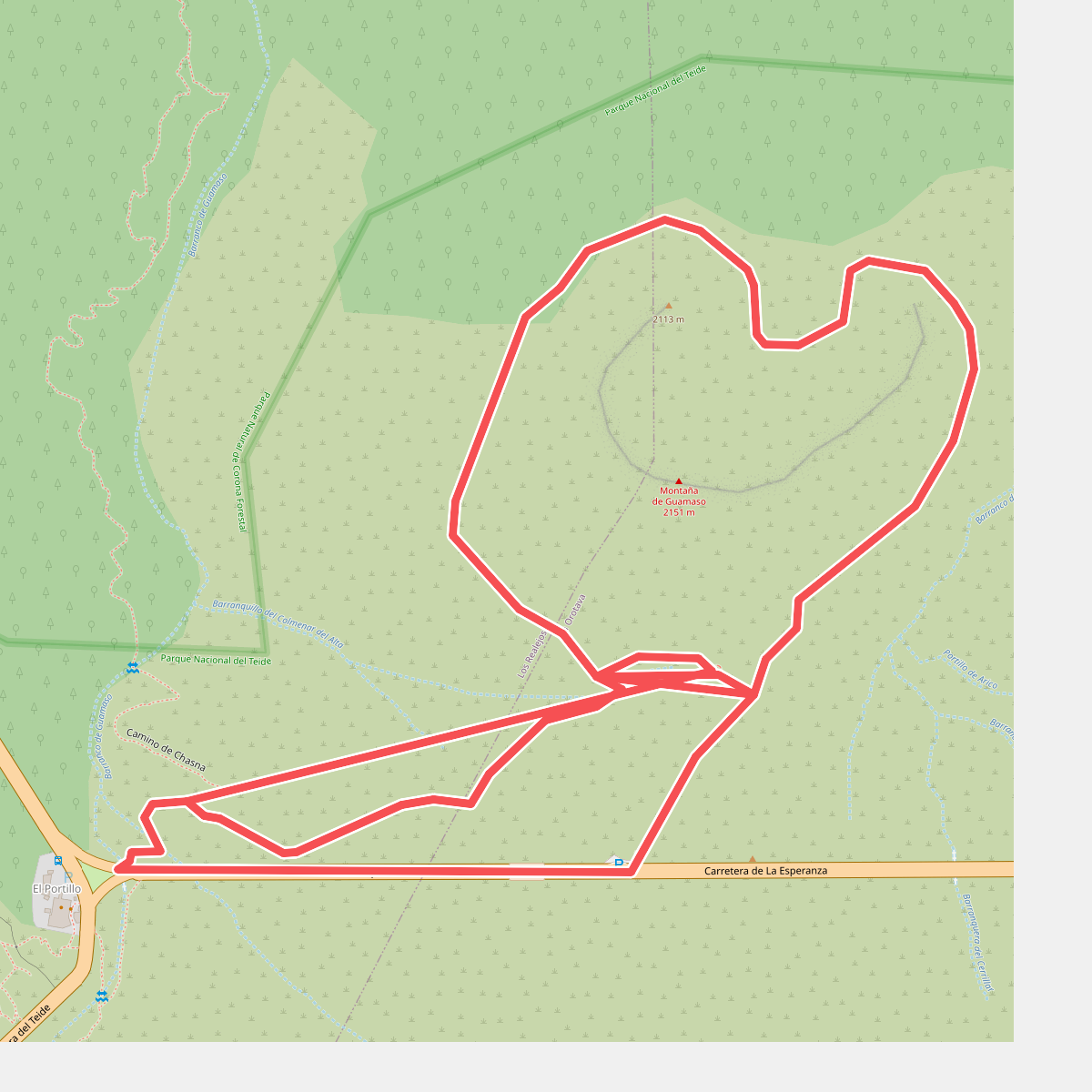
#3. Alto de Guamazo
Los Realejos,La Orotava
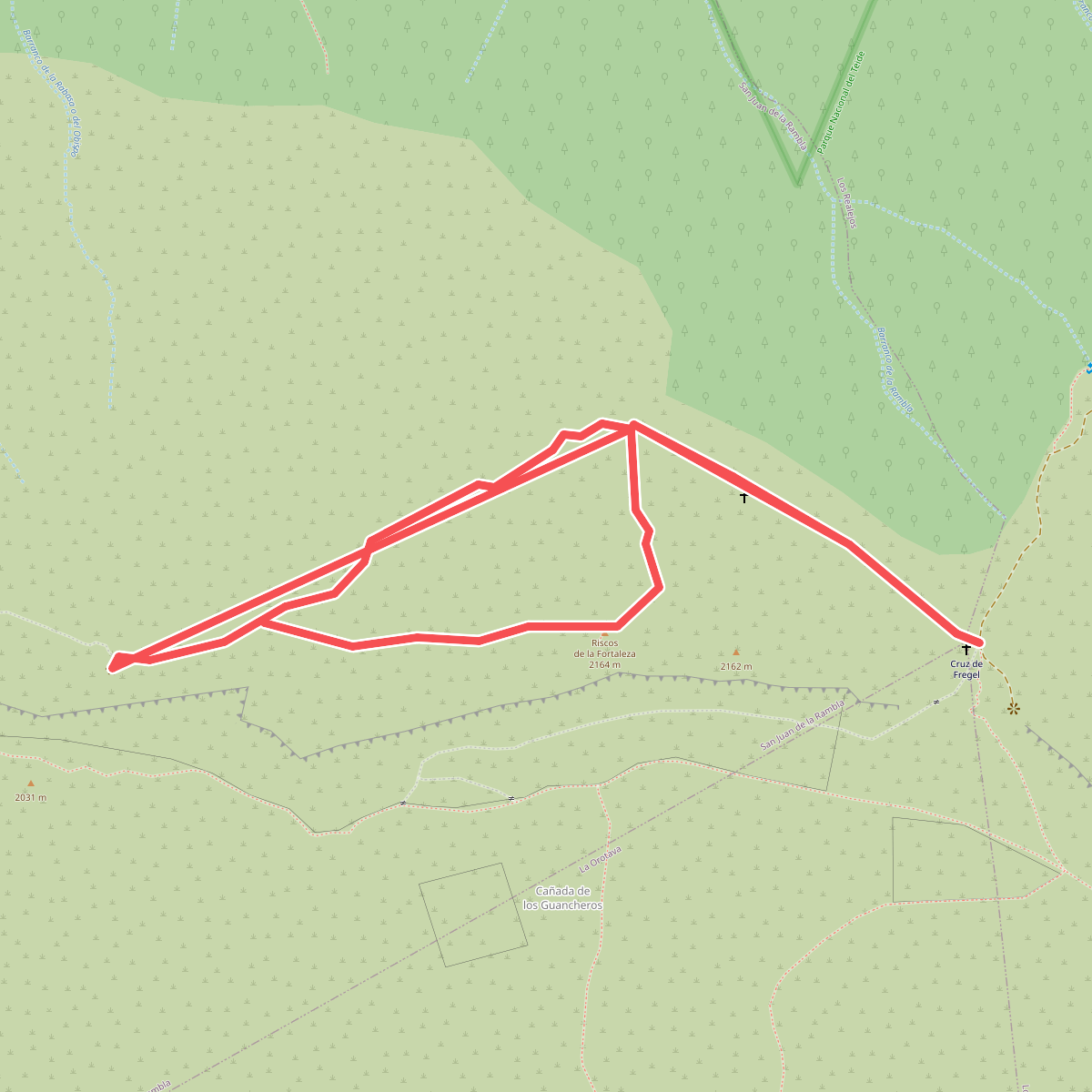
#4. Alto de La Fortaleza
San Juan de la Rambla
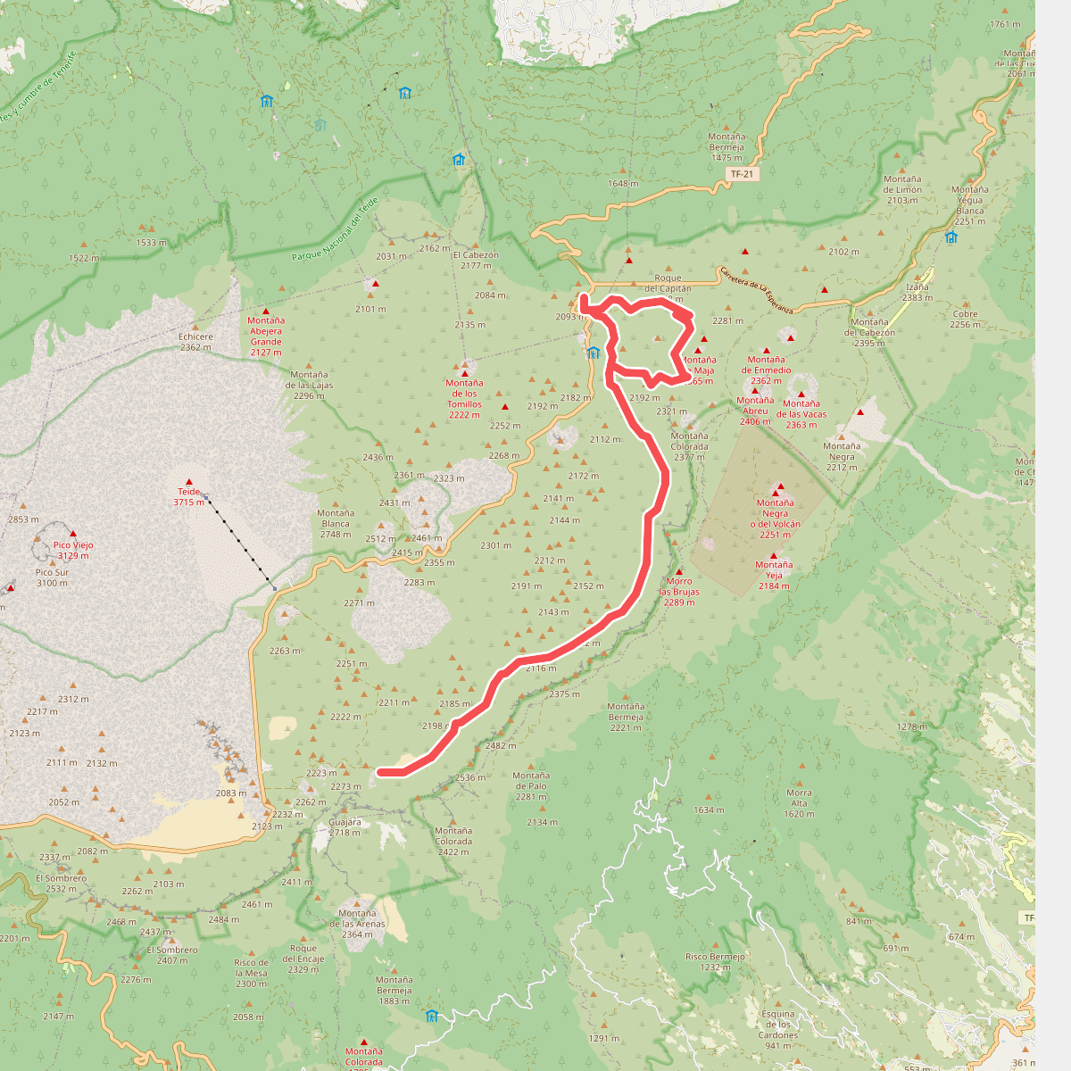
#5. Arenas Negras
La Orotava,Los Realejos
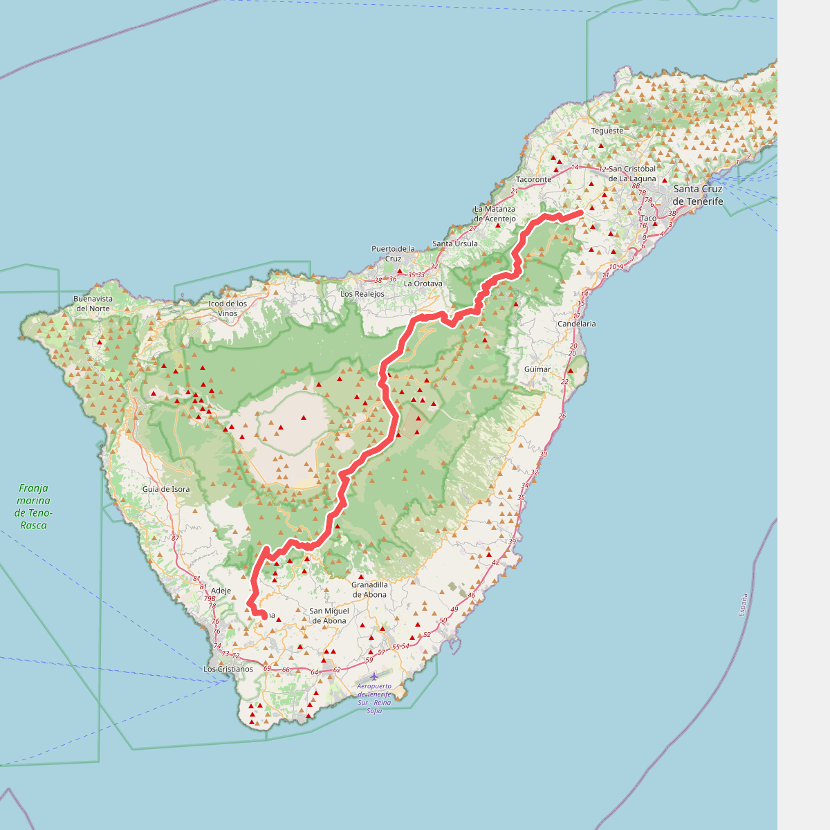
#6. Camino Natural Anaga-Chasna
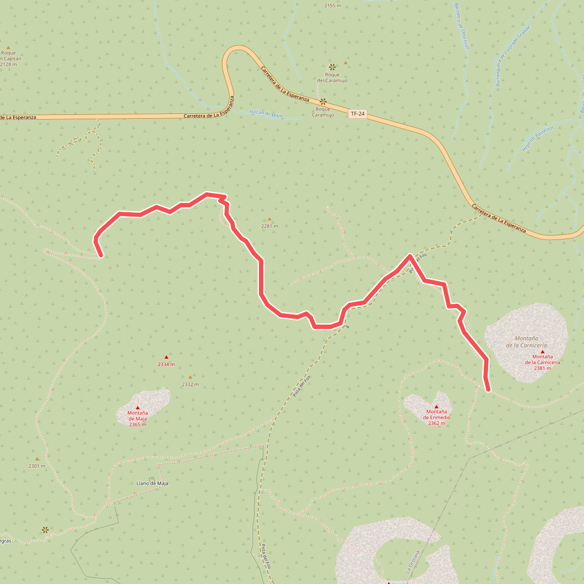
#7. Cerrillar - Carnicería
La Orotava
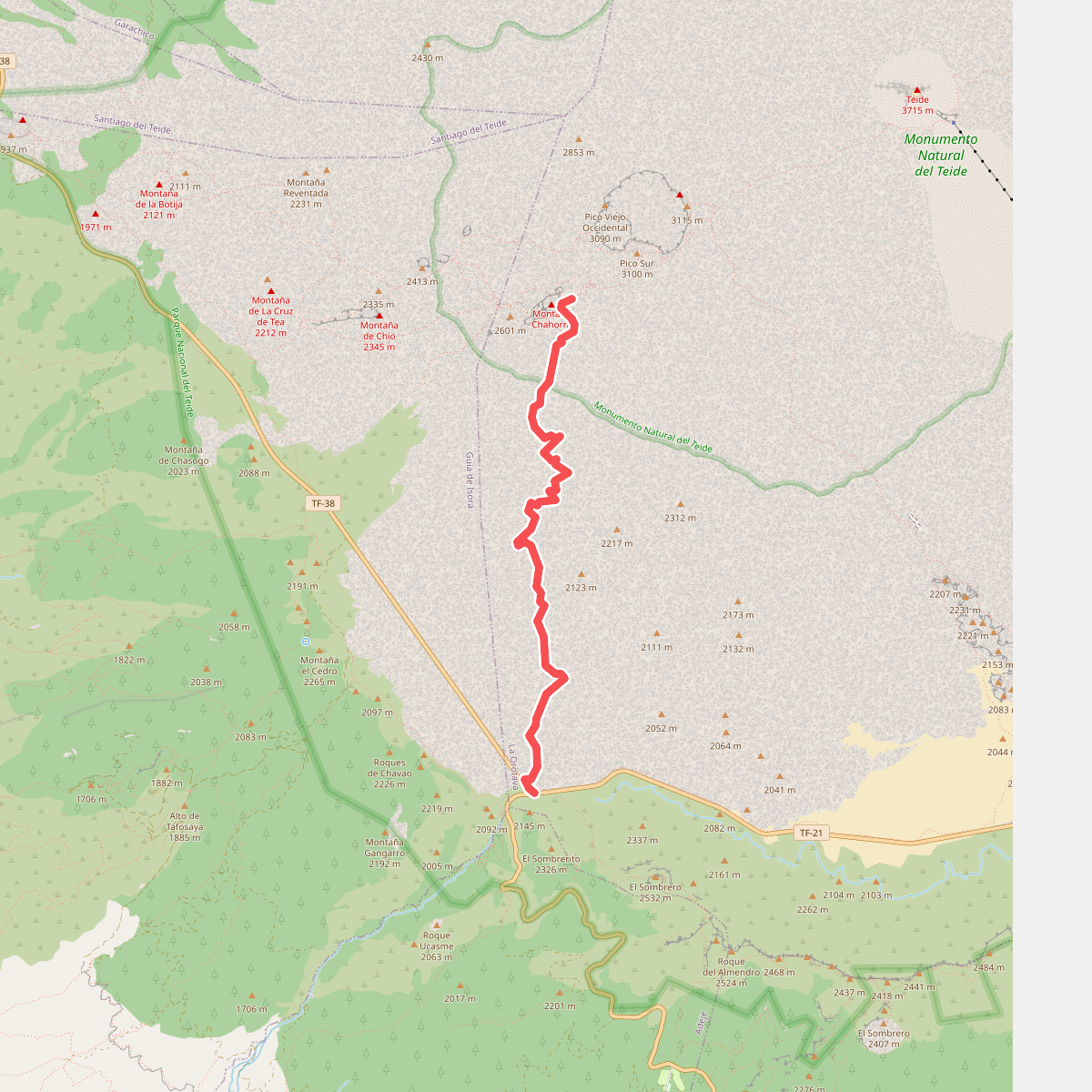
#8. Chafari
La Orotava
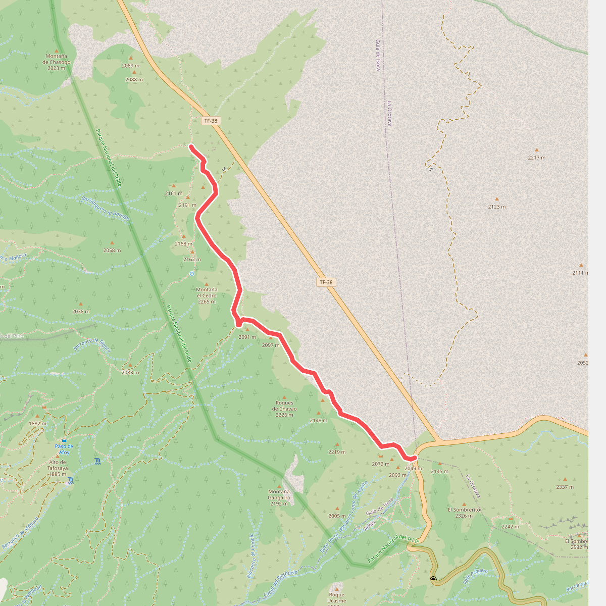
#9. Chavao
Guía de Isora
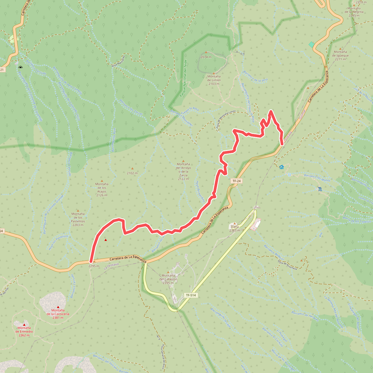
#10. Corral del Niño-Mal Abrigo
La Orotava
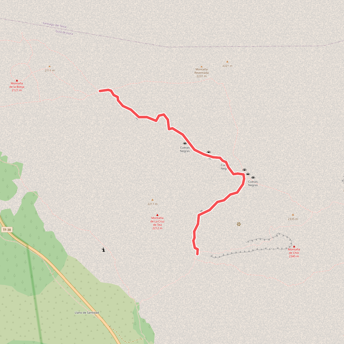
#11. Cuevas Negras
Guía de Isora
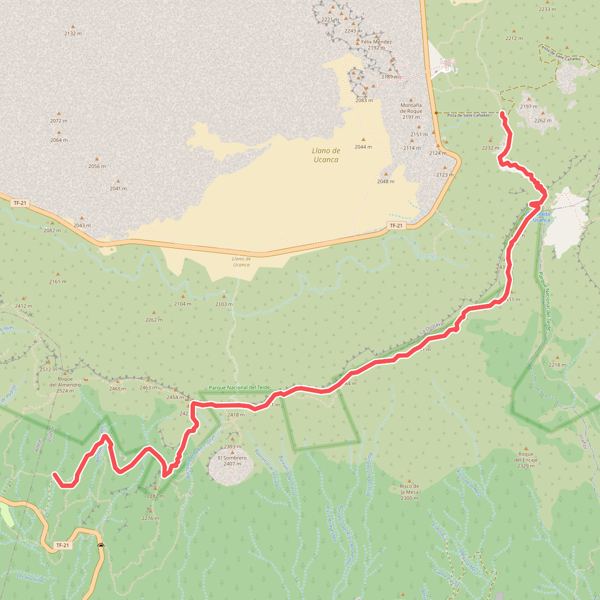
#12. Cumbres de Ucanca
La Orotava,Vilaflor



