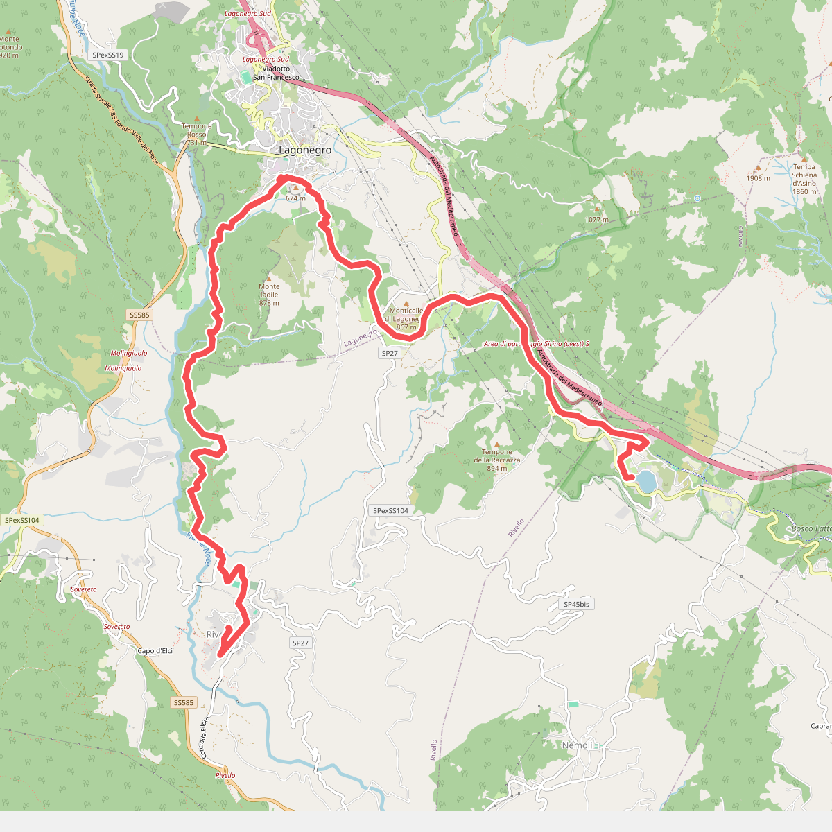
The best hiking routes in Parco Nazionale dell'Appennino Lucano-Val d'Agri-Lagonegrese
Discover the best walks in Parco Nazionale dell'Appennino Lucano-Val d'Agri-Lagonegrese. 7 routes on the map, with descriptions, photos and GPX.
Managed by Ente Parco Nazionale dell'Appennino Lucano Val D'agri Lagonegrese
About Parco Nazionale dell'Appennino Lucano-Val d'Agri-Lagonegrese
Parco Nazionale dell'Appennino Lucano-Val d'Agri-Lagonegrese offers a landscape of contrasts, where the wide, flat alluvial basin of the Agri River meets steep limestone massifs and sandstone ridges. Walkers will notice how the terrain shifts abruptly from the cultivated valley floor to dense beech forests on the higher slopes, such as those around Monte Volturino and Monte Alpi. The underfoot conditions vary from soft, leaf-littered dirt tracks under the deep forest canopy to rocky, loose limestone scree on the exposed upper ridges.
Read more
About Parco Nazionale dell'Appennino Lucano-Val d'Agri-Lagonegrese
Parco Nazionale dell'Appennino Lucano-Val d'Agri-Lagonegrese offers a landscape of contrasts, where the wide, flat alluvial basin of the Agri River meets steep limestone massifs and sandstone ridges. Walkers will notice how the terrain shifts abruptly from the cultivated valley floor to dense beech forests on the higher slopes, such as those around Monte Volturino and Monte Alpi. The underfoot conditions vary from soft, leaf-littered dirt tracks under the deep forest canopy to rocky, loose limestone scree on the exposed upper ridges.
Read moreParco Nazionale dell'Appennino Lucano-Val d'Agri-Lagonegrese offers a landscape of contrasts, where the wide, flat alluvial basin of the Agri River meets steep limestone massifs and sandstone ridges. Walkers will notice how the terrain shifts abruptly from the cultivated valley floor to dense beech forests on the higher slopes, such as those around Monte Volturino and Monte Alpi. The underfoot conditions vary from soft, leaf-littered dirt tracks under the deep forest canopy to rocky, loose limestone scree on the exposed upper ridges.
The park is shaped by its active geology and water. You will encounter karst features like sinkholes and limestone pavements on the high plateaus, while the lower valleys feature clay ravines and wetlands near the Lago di Pietra del Pertusillo reservoir. In May, the high-altitude meadows are marked by wildflowers, while the lower woodlands remain shaded and cool. This is not a park of gentle, rolling hills; the climbs are often steep and direct, requiring steady footing on gravelly mountain paths.
While the area around the sanctuary of Madonna di Viggiano attracts visitors during pilgrimage periods, much of the trail network remains quiet and demanding. The paths are often marked but can be overgrown in the less-frequented beech sectors, requiring attention to navigation. You will walk through a working landscape where forestry and traditional grazing exist alongside oil extraction infrastructure in the valley, providing a realistic view of a modern, functioning Apennine mountain environment.
Hiking routes in Parco Nazionale dell'Appennino Lucano-Val d'Agri-Lagonegrese (7)
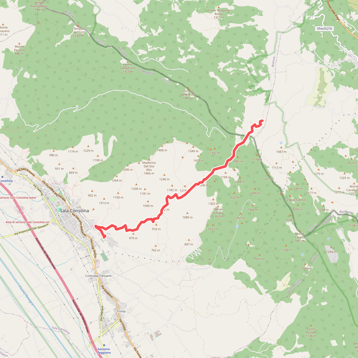
#1. Sentiero dei Marsicani
Sala Consilina,Brienza
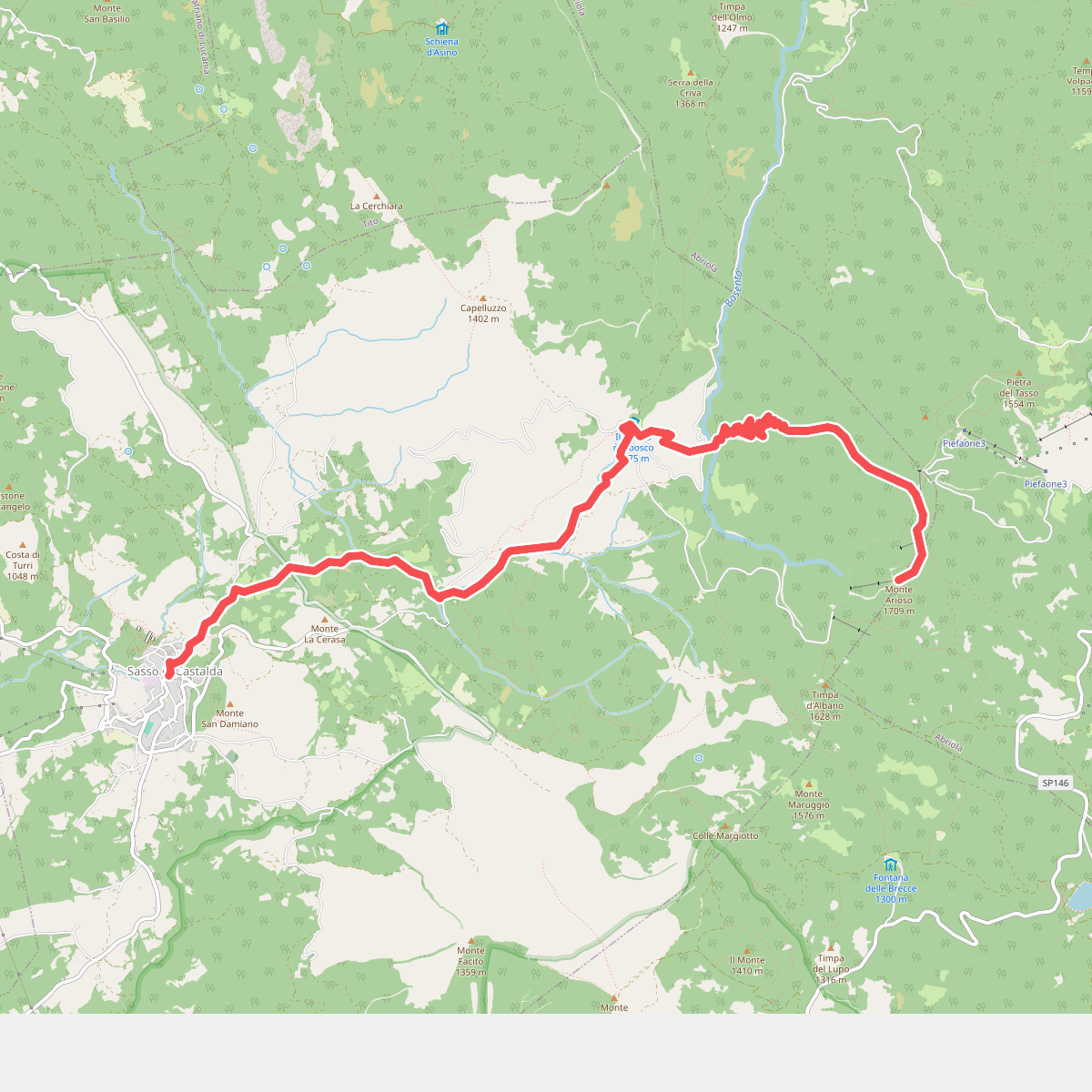
#2. Sentiero Frassati
Sasso di Castalda,Abriola
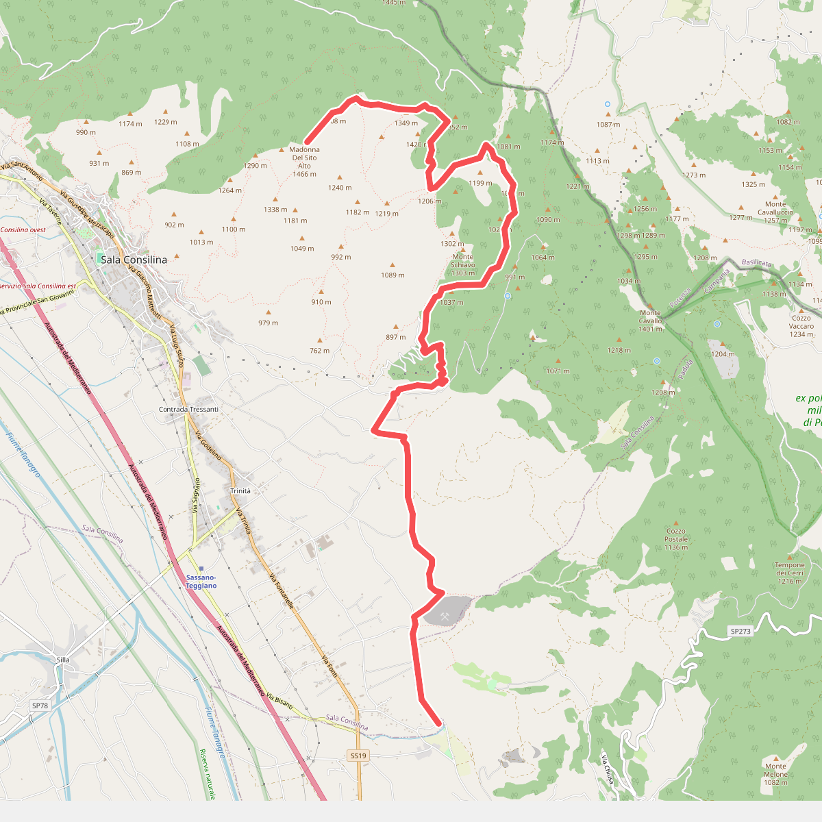
#3. Sentiero Frassati
Sala Consilina,Padula
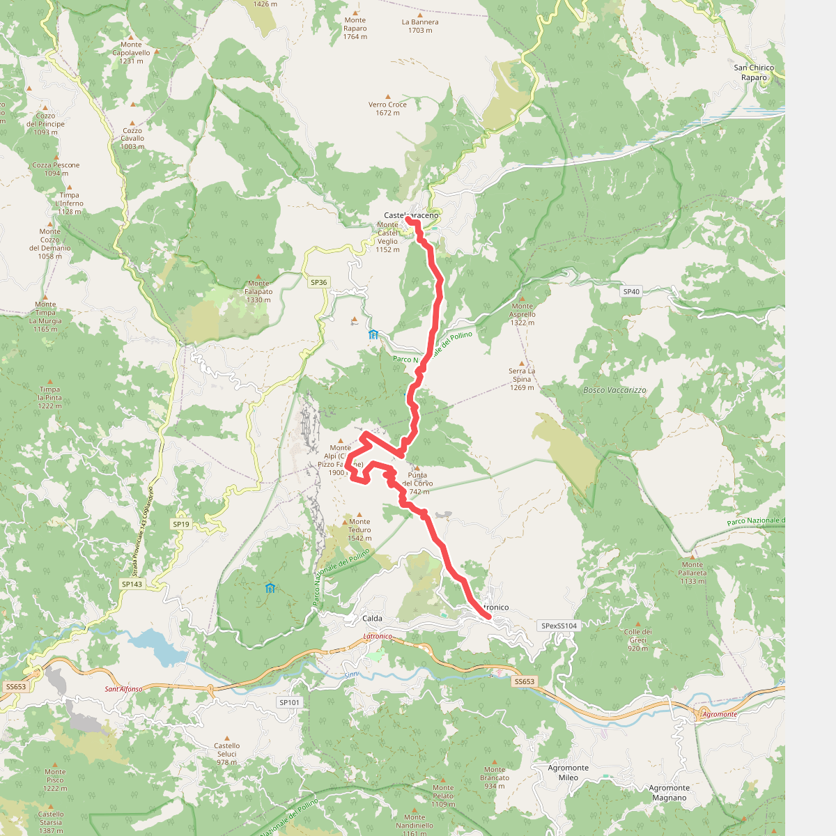
#4. Sentiero Italia - Basilicata T00 · SI
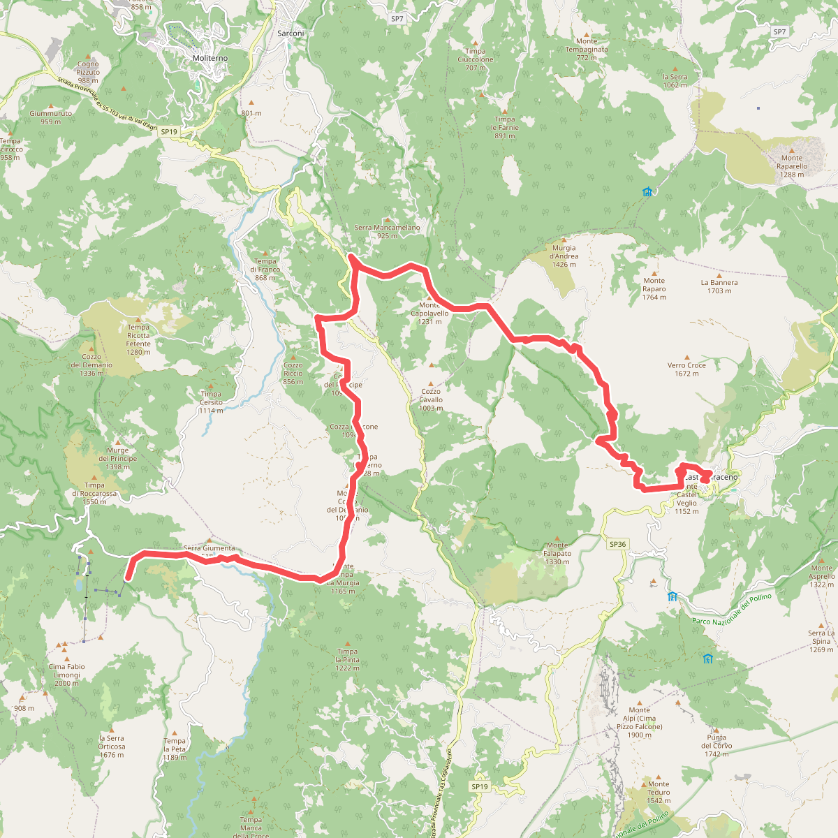
#5. Sentiero Italia - Basilicata T00 · SI
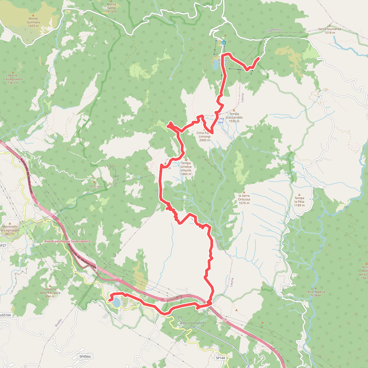
#6. Sentiero Italia - Basilicata T00 · SI