The best hiking routes in Padjelanta
Discover the best walks in Padjelanta. 2 routes on the map, with descriptions, photos and GPX.
About Padjelanta
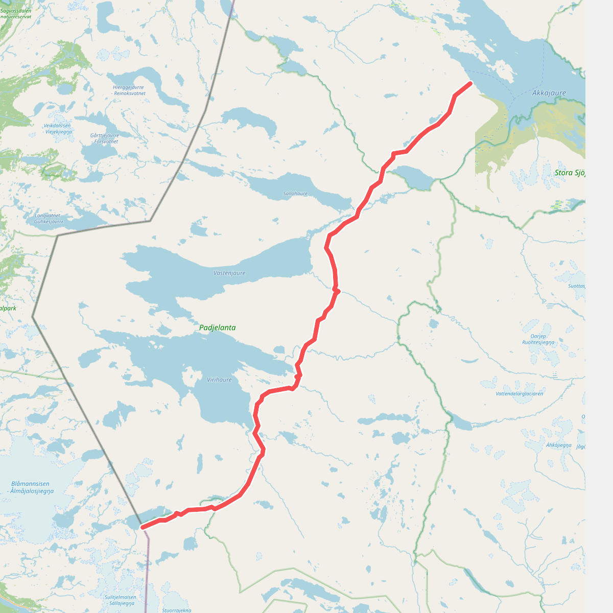
Padjelanta National Park consists of a vast, gently rolling plateau dominated by large lakes like Vastenjaure and Virihaure. Unlike the narrow, steep-sided valleys and jagged peaks found in neighbouring Sarek, this landscape is open, broad, and characterized by low, rounded fells. The bedrock here is rich in lime, which supports a unusually lush and diverse alpine flora, visible as dense carpets of mountain avens and various grasses along the trail rather than bare rock or blocky scree.
Read more
About Padjelanta
Padjelanta National Park consists of a vast, gently rolling plateau dominated by large lakes like Vastenjaure and Virihaure. Unlike the narrow, steep-sided valleys and jagged peaks found in neighbouring Sarek, this landscape is open, broad, and characterized by low, rounded fells. The bedrock here is rich in lime, which supports a unusually lush and diverse alpine flora, visible as dense carpets of mountain avens and various grasses along the trail rather than bare rock or blocky scree.
Read morePadjelanta National Park consists of a vast, gently rolling plateau dominated by large lakes like Vastenjaure and Virihaure. Unlike the narrow, steep-sided valleys and jagged peaks found in neighbouring Sarek, this landscape is open, broad, and characterized by low, rounded fells. The bedrock here is rich in lime, which supports a unusually lush and diverse alpine flora, visible as dense carpets of mountain avens and various grasses along the trail rather than bare rock or blocky scree.
Underfoot, the Padjelantaleden trail alternates between soft peat, grassy heath, and extensive wooden boardwalks laid over the wettest mires. While the terrain is generally less rocky and easier to negotiate than other northern Swedish trails, walkers will still encounter muddy sections, stream crossings, and occasional suspension bridges over wide glacial rivers. The elevation changes are gradual, making it a steadier walk without the abrupt, punishing climbs of more alpine areas.
In July and August, the vegetation is at its peak, and the lack of high, sheltering ridges means the landscape feels highly exposed to the elements. The area is also active reindeer herding land for local Sámi communities, and you will pass summer settlements like Staloluokta, where the trail meets the large lakes. It is a landscape of wide horizons and low-gradient paths, suited for those who prefer expansive lake views and botanical variety over vertical rock walls.