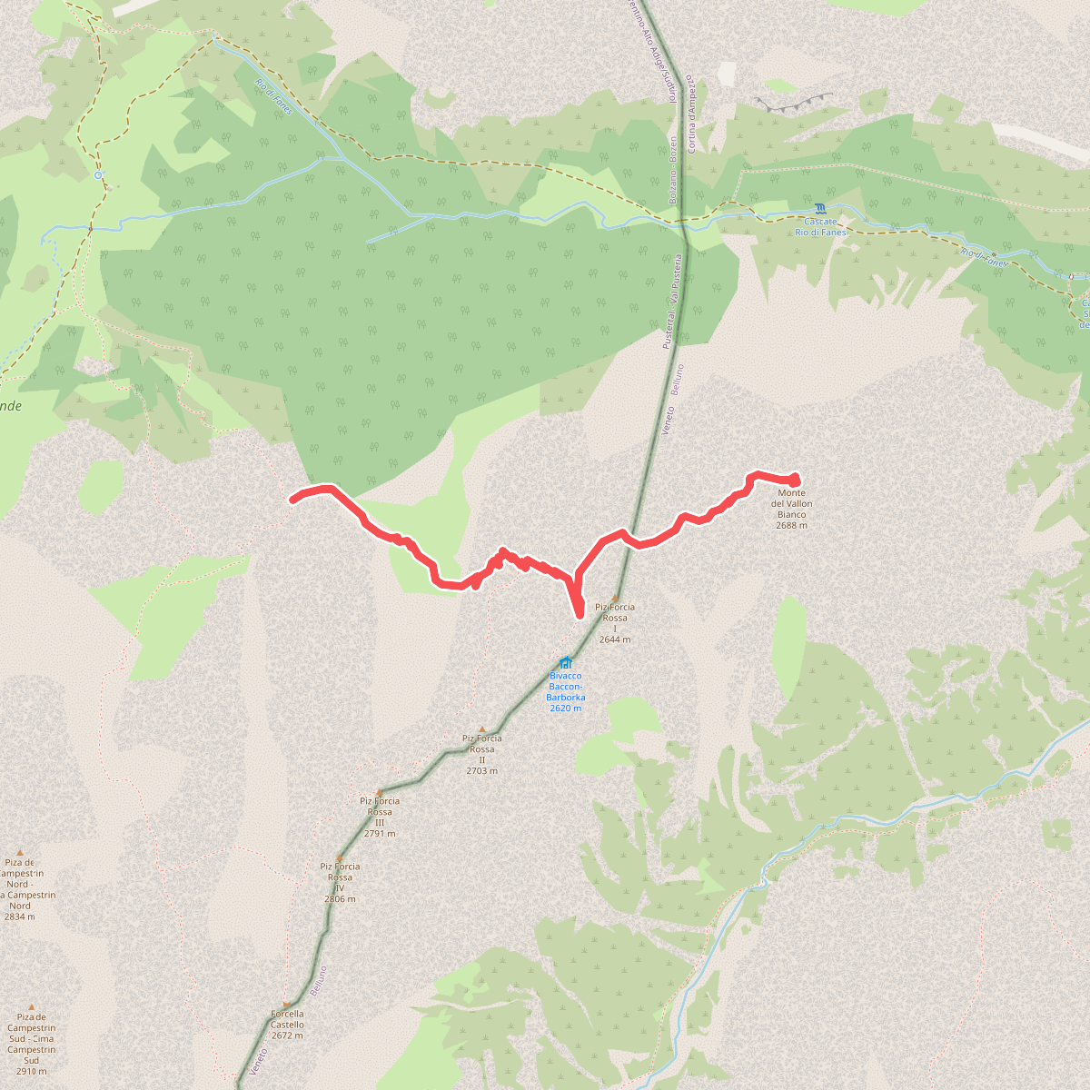
The best hiking routes in Naturpark Fanes-Sennes-Prags - Parco Naturale Fanes-Sennes-Braies
Discover the best walks in Naturpark Fanes-Sennes-Prags - Parco Naturale Fanes-Sennes-Braies. 23 routes on the map, with descriptions, photos and GPX.
About Naturpark Fanes-Sennes-Prags - Parco Naturale Fanes-Sennes-Braies
Naturpark Fanes-Sennes-Prags - Parco Naturale Fanes-Sennes-Braies is defined by its vast, high-altitude karst plates and steep limestone walls rather than narrow forested valleys. Walkers here will notice a stark contrast between the wide, barren rock deserts of the Sennes plateau and the greener, pasture-dominated basin of Fanes. The ground underfoot is predominantly loose limestone scree, rough gravel tracks, and exposed bedrock, which requires sturdy footwear and steady stepping. Water is scarce on the high plateaus, disappearing into sinkholes and fissures, though it pools in dramatic alpine lakes like the Pragser Wildsee - Lago di Braies in the northern section.
Read more
About Naturpark Fanes-Sennes-Prags - Parco Naturale Fanes-Sennes-Braies
Naturpark Fanes-Sennes-Prags - Parco Naturale Fanes-Sennes-Braies is defined by its vast, high-altitude karst plates and steep limestone walls rather than narrow forested valleys. Walkers here will notice a stark contrast between the wide, barren rock deserts of the Sennes plateau and the greener, pasture-dominated basin of Fanes. The ground underfoot is predominantly loose limestone scree, rough gravel tracks, and exposed bedrock, which requires sturdy footwear and steady stepping. Water is scarce on the high plateaus, disappearing into sinkholes and fissures, though it pools in dramatic alpine lakes like the Pragser Wildsee - Lago di Braies in the northern section.
Read moreNaturpark Fanes-Sennes-Prags - Parco Naturale Fanes-Sennes-Braies is defined by its vast, high-altitude karst plates and steep limestone walls rather than narrow forested valleys. Walkers here will notice a stark contrast between the wide, barren rock deserts of the Sennes plateau and the greener, pasture-dominated basin of Fanes. The ground underfoot is predominantly loose limestone scree, rough gravel tracks, and exposed bedrock, which requires sturdy footwear and steady stepping. Water is scarce on the high plateaus, disappearing into sinkholes and fissures, though it pools in dramatic alpine lakes like the Pragser Wildsee - Lago di Braies in the northern section.
In July and August, the high pastures are active with grazing cattle, and the main dirt roads connecting the mountain huts are busy with walkers. By October, these high pastures empty, and the landscape shifts to a quiet, grey expanse of limestone under a pale sky. The trails are mostly wide, old military tracks from the First World War or narrow, stony singletracks that climb steeply through dwarf pine scrub before flattening out onto the open karst plains.
This is a high-altitude mountain environment where you will not find gentle, rolling woodland walks or soft grassy paths. The terrain is rugged, dry, and highly exposed, with steep climbs required to reach the flat walking areas of the plateaus. It is best suited for those who prefer stark, rocky landscapes and are comfortable walking on loose stone and steep gradients.
Hiking routes in Naturpark Fanes-Sennes-Prags - Parco Naturale Fanes-Sennes-Braies (23)
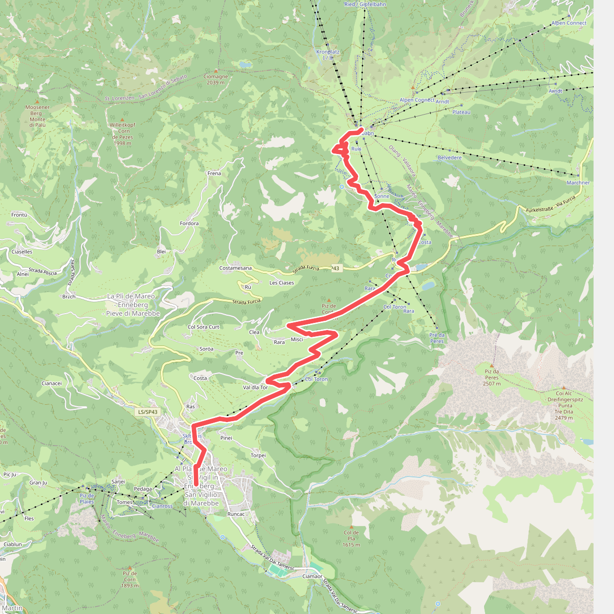
#1. 1 - Al Plan de Mareo => Kronplatz
Marèo - Enneberg - Marebbe,Bruneck - Brunico
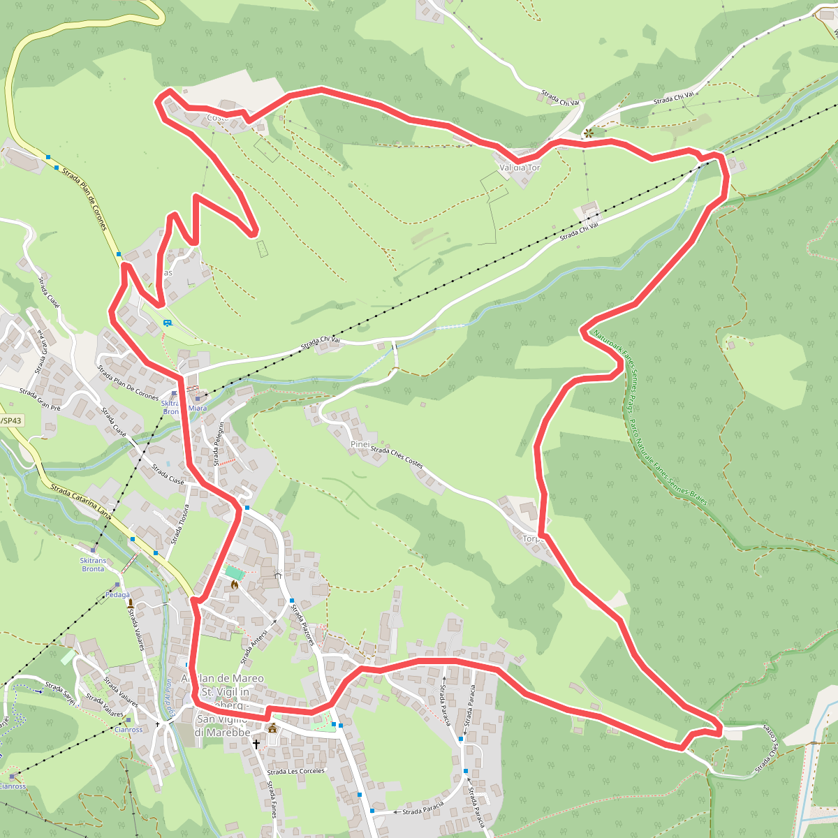
#2. A Soredl
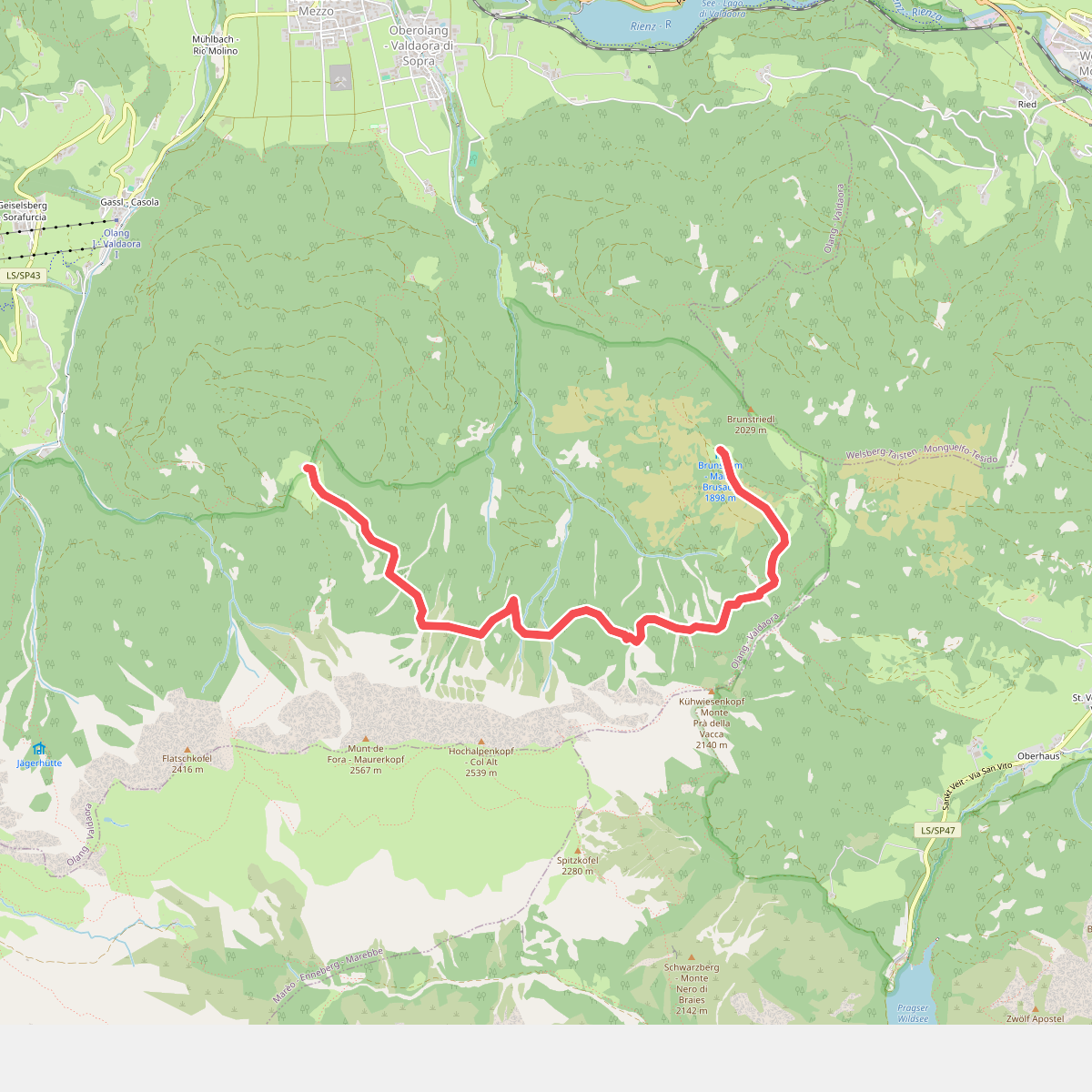
#3. Almsteig
Olang - Valdaora
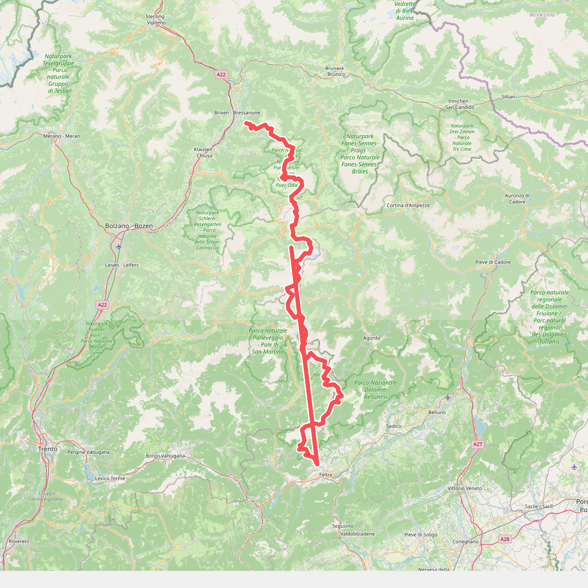
#4. Alta Via n. 2 delle Dolomiti - Dolomiten-Höhenweg Nr. 2
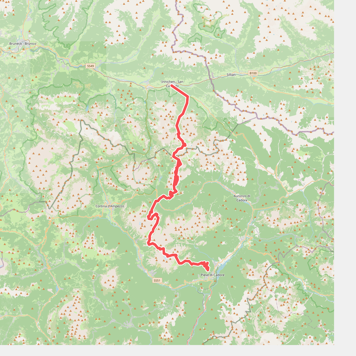
#5. Alta via n. 4 delle Dolomiti - Dolomiten-Höhenweg Nr. 4
Innichen - San Candido,Sexten - Sesto,Toblach - Dobbiaco,Auronzo di Cadore,Cortina d'Ampezzo,San Vito di Cadore,Calalzo di Cadore,Pieve di Cadore,Valle di Cadore
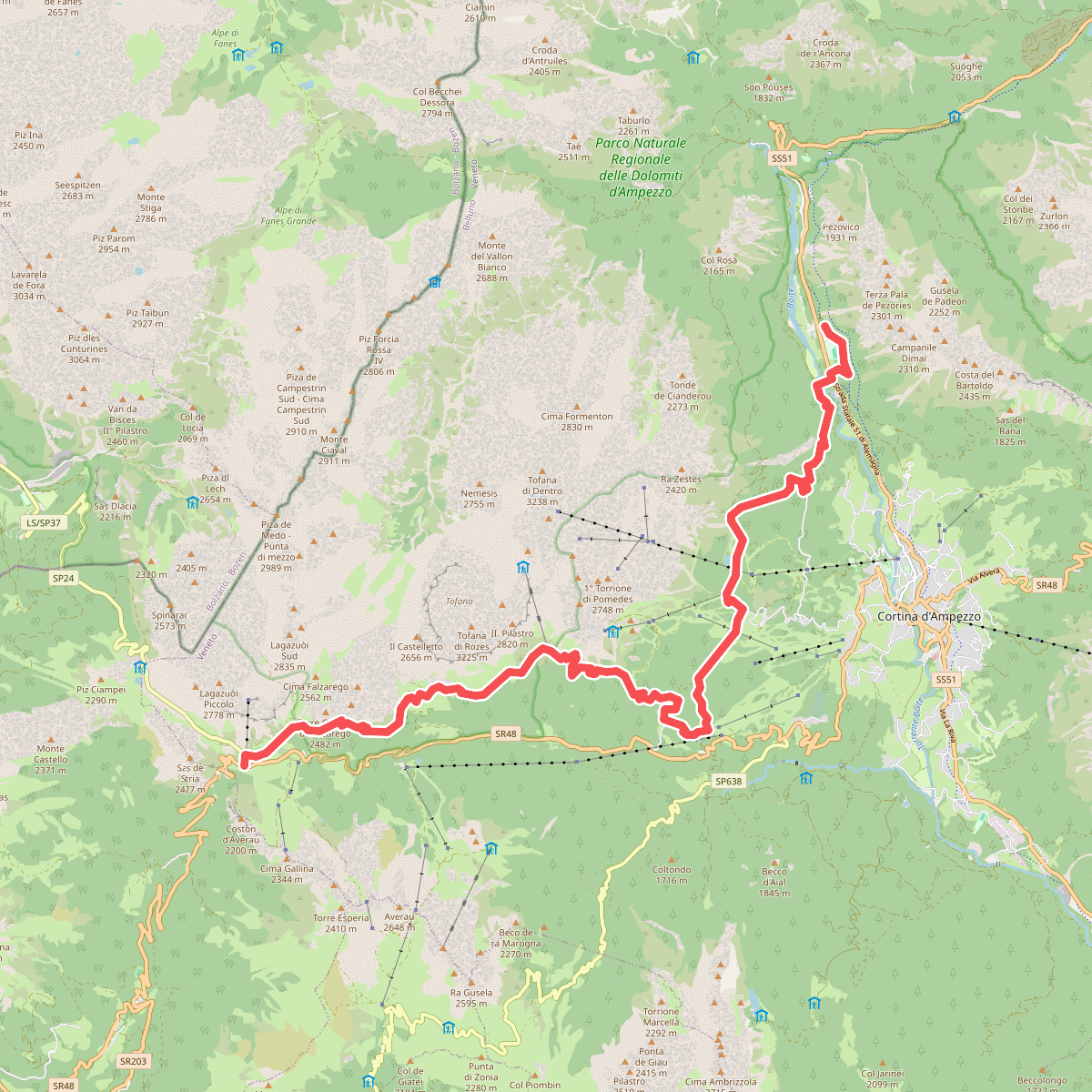
#6. Cammino delle Dolomiti - Tappa 13
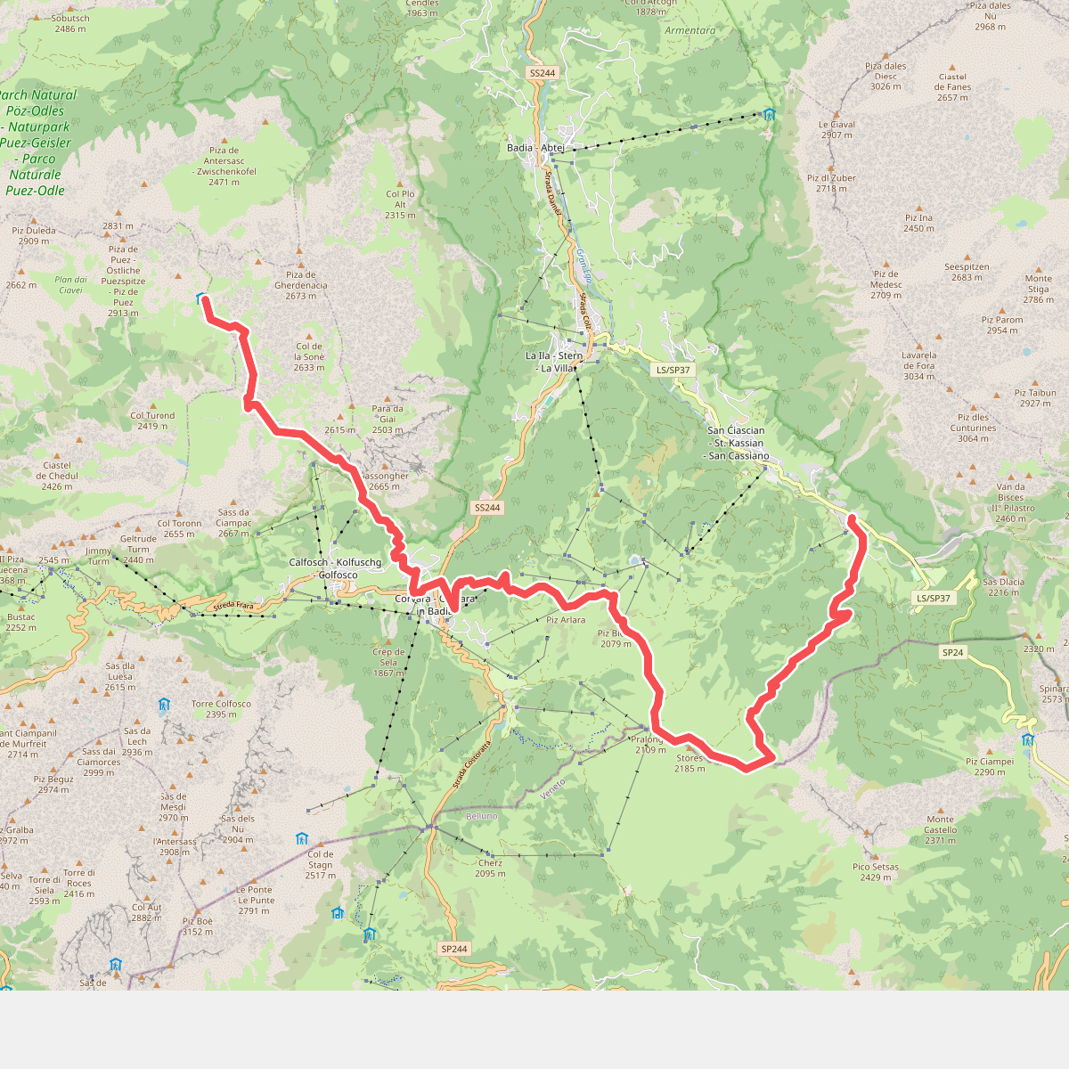
#7. Dolomites World Heritage Geotrail 12
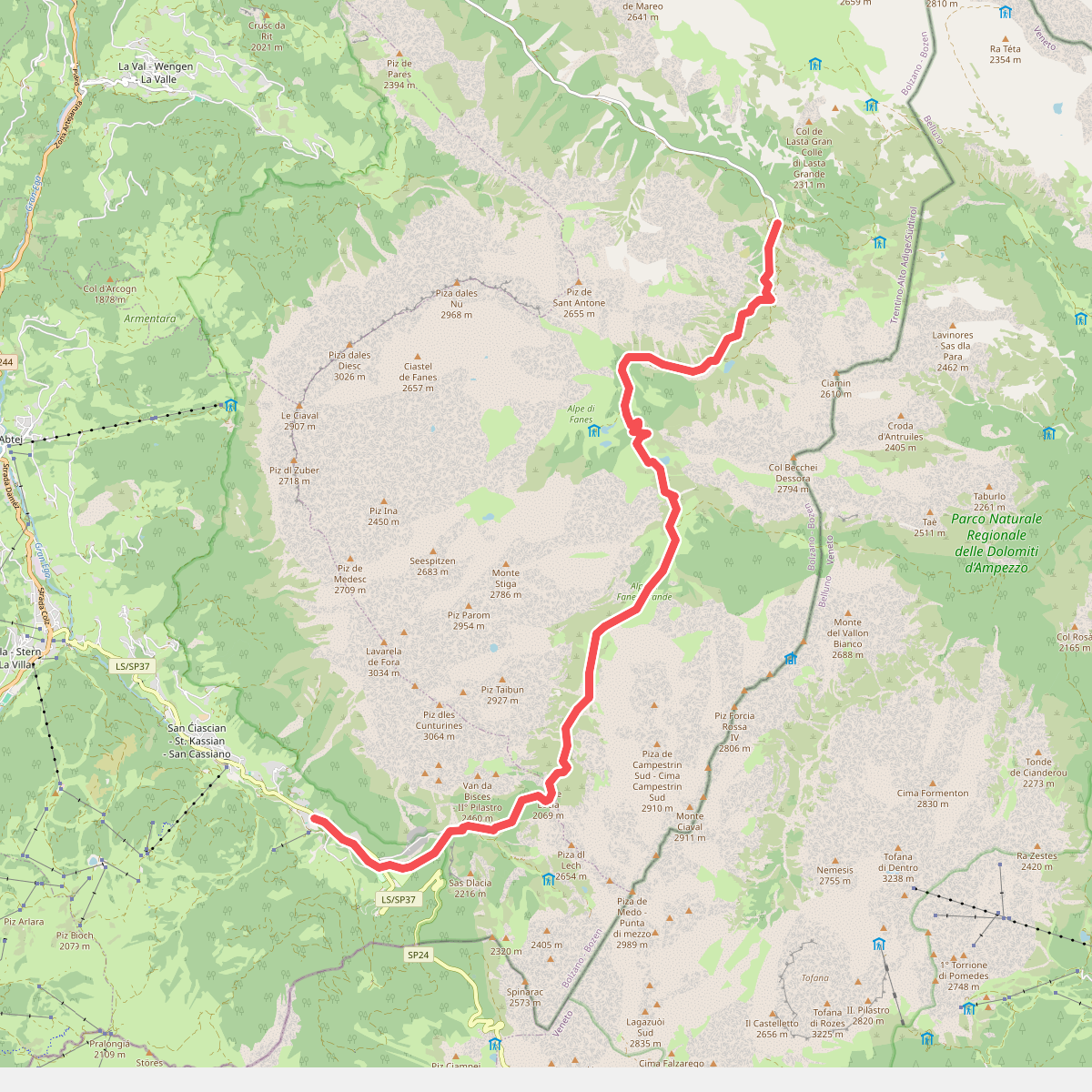
#8. Dolomites World Heritage Geotrail 13
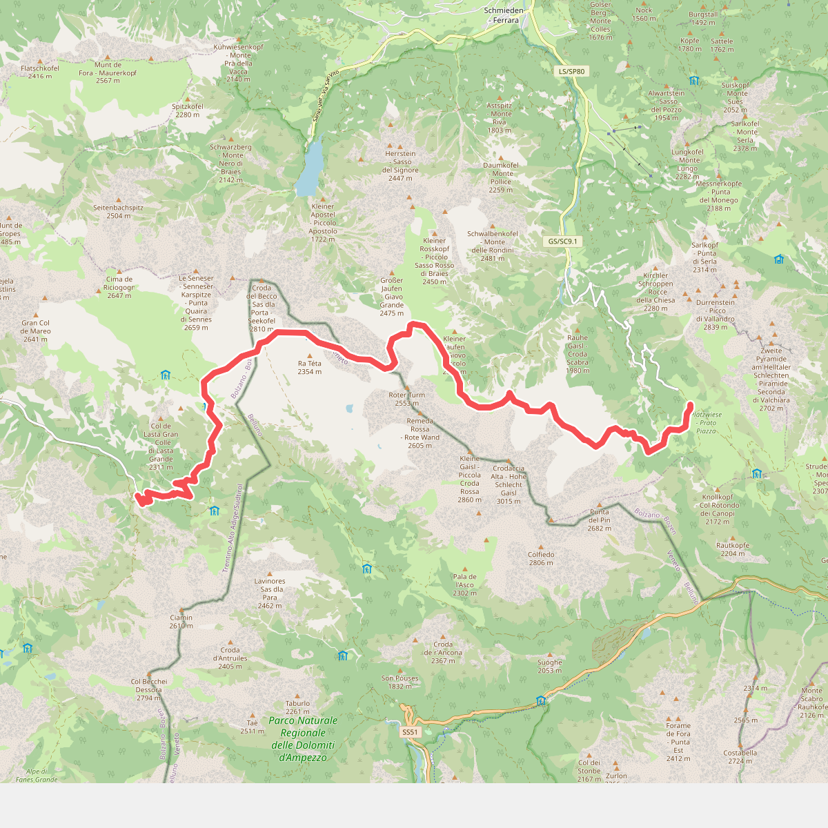
#9. Dolomites World Heritage Geotrail 14
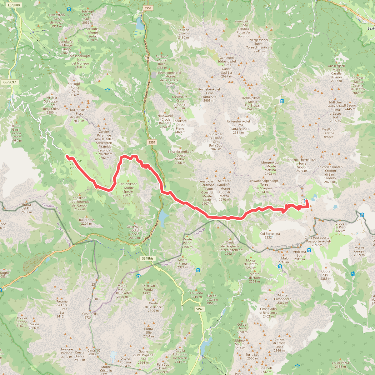
#10. Dolomites World Heritage Geotrail 15
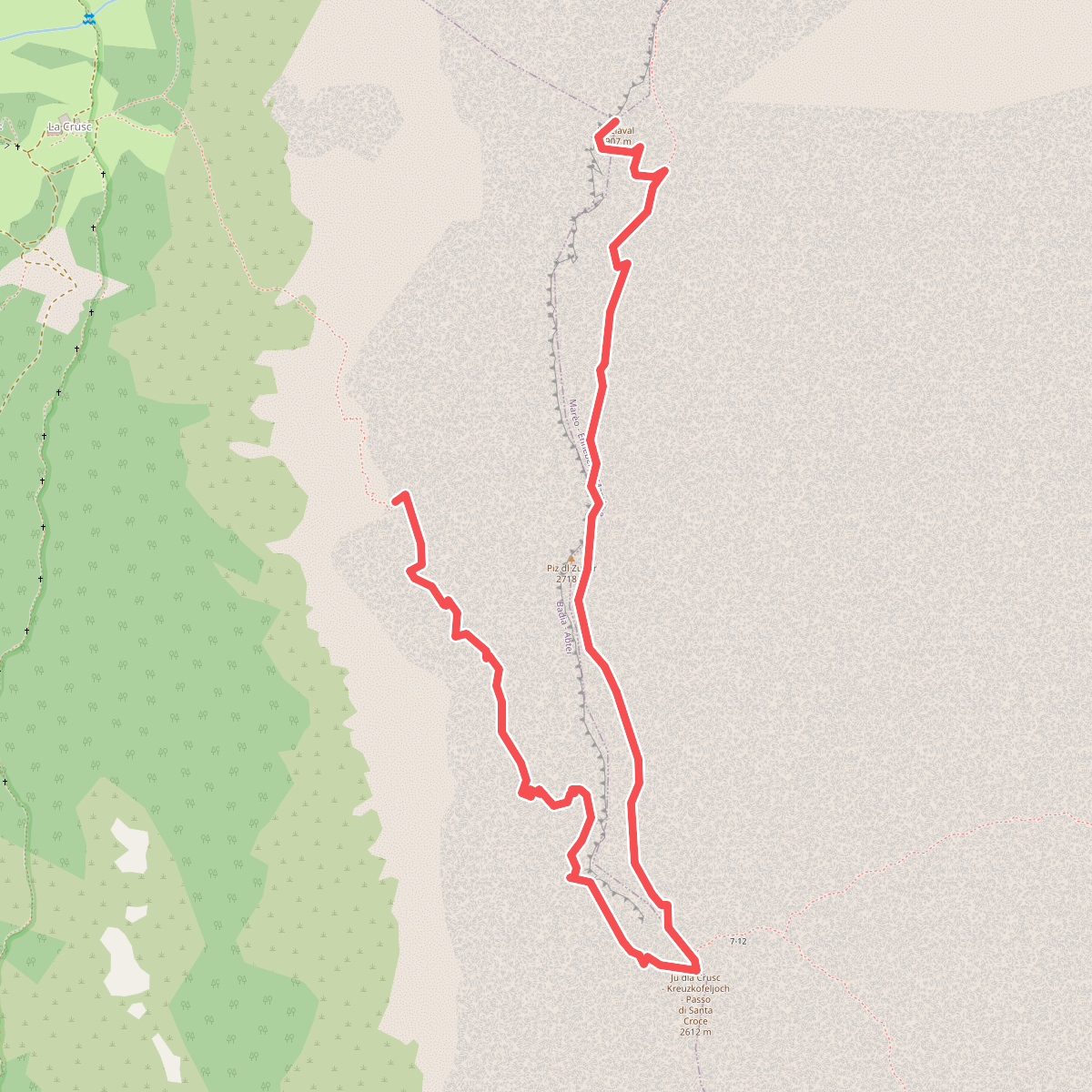
#11. Ferata dla Crusc - Heiligkreuzkofelsteig - Ferrata Monte Cavallo