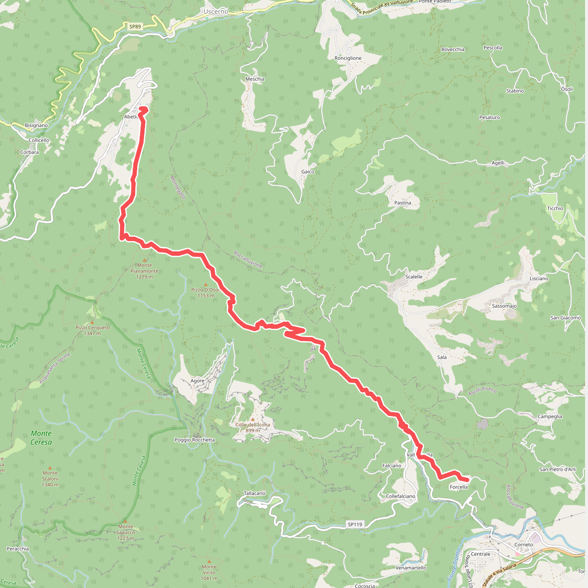
The best hiking routes in Monte Ceresa
Discover the best walks in Monte Ceresa. 1 routes on the map, with descriptions, photos and GPX.
Managed by UM del Tronto e della Val Fluvione
About Monte Ceresa
Monte Ceresa is a sandstone massif in the Marche region, characterized by its rugged, wooded slopes and steep ravines rather than high alpine peaks. The landscape is defined by its geological composition, where soft yellow sandstone has eroded to form deep gorges, natural rock shelters, and sheer cliffs. Walkers will notice how the dense chestnut and oak forests suddenly give way to bare rock faces, with old stone mule tracks and abandoned agricultural terraces carved directly into the hillsides. Unlike the nearby high limestone ranges, this area offers a intimate, enclosed landscape of shadowed valleys and small, forgotten stone hamlets.
Read more
About Monte Ceresa
Monte Ceresa is a sandstone massif in the Marche region, characterized by its rugged, wooded slopes and steep ravines rather than high alpine peaks. The landscape is defined by its geological composition, where soft yellow sandstone has eroded to form deep gorges, natural rock shelters, and sheer cliffs. Walkers will notice how the dense chestnut and oak forests suddenly give way to bare rock faces, with old stone mule tracks and abandoned agricultural terraces carved directly into the hillsides. Unlike the nearby high limestone ranges, this area offers a intimate, enclosed landscape of shadowed valleys and small, forgotten stone hamlets.
Read moreMonte Ceresa is a sandstone massif in the Marche region, characterized by its rugged, wooded slopes and steep ravines rather than high alpine peaks. The landscape is defined by its geological composition, where soft yellow sandstone has eroded to form deep gorges, natural rock shelters, and sheer cliffs. Walkers will notice how the dense chestnut and oak forests suddenly give way to bare rock faces, with old stone mule tracks and abandoned agricultural terraces carved directly into the hillsides. Unlike the nearby high limestone ranges, this area offers a intimate, enclosed landscape of shadowed valleys and small, forgotten stone hamlets.
Underfoot, the trails are predominantly packed earth, loose sandstone scree, and ancient stone-paved paths that can be uneven. The terrain is a mix of steep, shaded woodland ascents and narrow ledge paths that hug the contour of the cliffs. Water is a constant presence in the lower gullies, where small streams have cut deep into the bedrock, creating damp, mossy microclimates that contrast sharply with the dry, sun-exposed ridges above.
In May, the woodland floor is dense with emerging wildflowers, while November brings a heavy carpet of chestnut leaves and damp earth. The area is generally quiet, though the paths near the abandoned stone villages of Rocchetta or Vallecchia see more foot traffic. Walkers should expect a physical hike with significant elevation changes over short distances, requiring careful footing on the rocky sections, rather than a flat, gentle stroll.