The best hiking routes in Limite do Parque Nacional da Peneda-Gerês
Discover the best walks in Limite do Parque Nacional da Peneda-Gerês. 7 routes on the map, with descriptions, photos and GPX.
About Limite do Parque Nacional da Peneda-Gerês
Limite do Parque Nacional da Peneda-Gerês marks the transition zone along the outer boundary of Portugal's only national park. Walking here does not mean deep wilderness immersion, but rather exploring the interface between traditional agricultural valleys and the steep, rocky granite slopes rising toward the interior. The landscape is characterized by ancient stone-walled terraces, small oak copses, and scrubby hillsides of gorse and heather. Unlike the high, exposed plateaus deeper in the park, this boundary zone offers a closer look at rural mountain life, where old stone paths connect small hamlets.
Read more
About Limite do Parque Nacional da Peneda-Gerês
Limite do Parque Nacional da Peneda-Gerês marks the transition zone along the outer boundary of Portugal's only national park. Walking here does not mean deep wilderness immersion, but rather exploring the interface between traditional agricultural valleys and the steep, rocky granite slopes rising toward the interior. The landscape is characterized by ancient stone-walled terraces, small oak copses, and scrubby hillsides of gorse and heather. Unlike the high, exposed plateaus deeper in the park, this boundary zone offers a closer look at rural mountain life, where old stone paths connect small hamlets.
Read moreLimite do Parque Nacional da Peneda-Gerês marks the transition zone along the outer boundary of Portugal's only national park. Walking here does not mean deep wilderness immersion, but rather exploring the interface between traditional agricultural valleys and the steep, rocky granite slopes rising toward the interior. The landscape is characterized by ancient stone-walled terraces, small oak copses, and scrubby hillsides of gorse and heather. Unlike the high, exposed plateaus deeper in the park, this boundary zone offers a closer look at rural mountain life, where old stone paths connect small hamlets.
Underfoot, walkers will mostly encounter rough, uneven stone pavements, dirt tracks, and occasionally asphalt lanes linking the villages. The terrain is hilly and demanding, requiring careful foot placement on the loose stones and steep gradients, though it lacks the sheer cliffs found further inland. Water is a constant presence, with small stone irrigation channels, known as levadas, running alongside many of the paths, and granite drinking troughs situated in the village centers.
In May, the hillsides along this boundary are bright with yellow gorse and purple heather blooms, contrasting sharply with the grey granite boulders. While the core areas of the national park attract large crowds of tourists, these peripheral trails are often quieter, offering a more domestic, agricultural perspective of the region. Walkers should expect a working landscape where cattle with long horns are still herded along the stone lanes, rather than an untouched natural reserve.
Hiking routes in Limite do Parque Nacional da Peneda-Gerês (7)
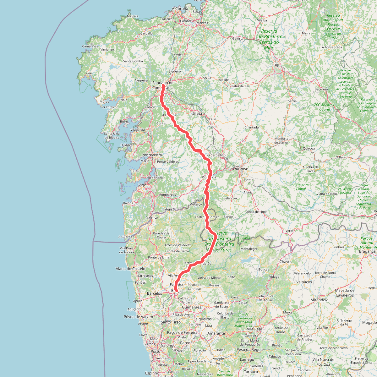
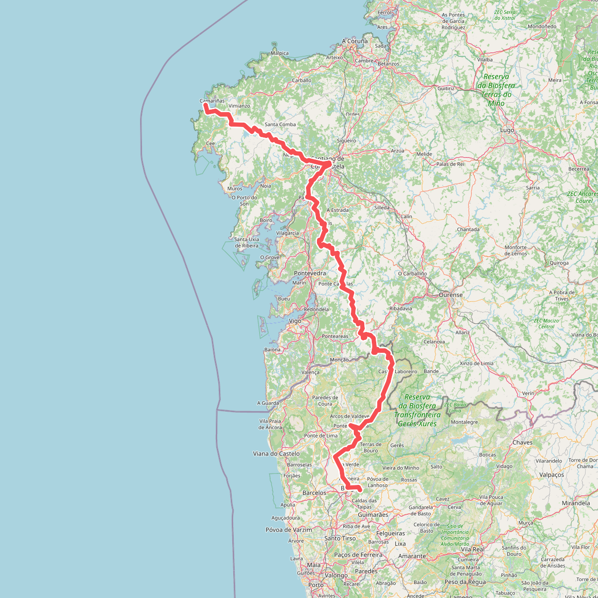
#1. Caminho da Geira e dos Arrieiros
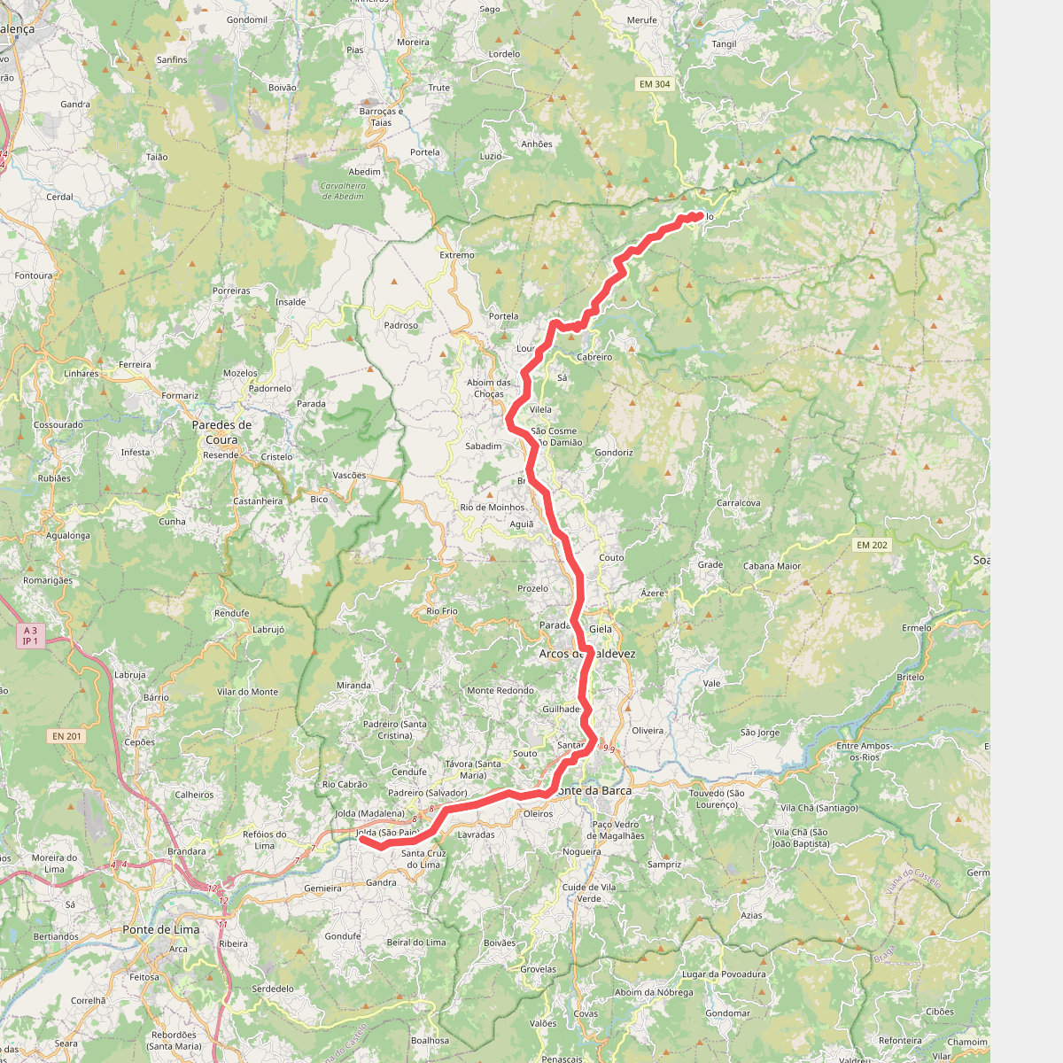
#2. Ecovia do Vez
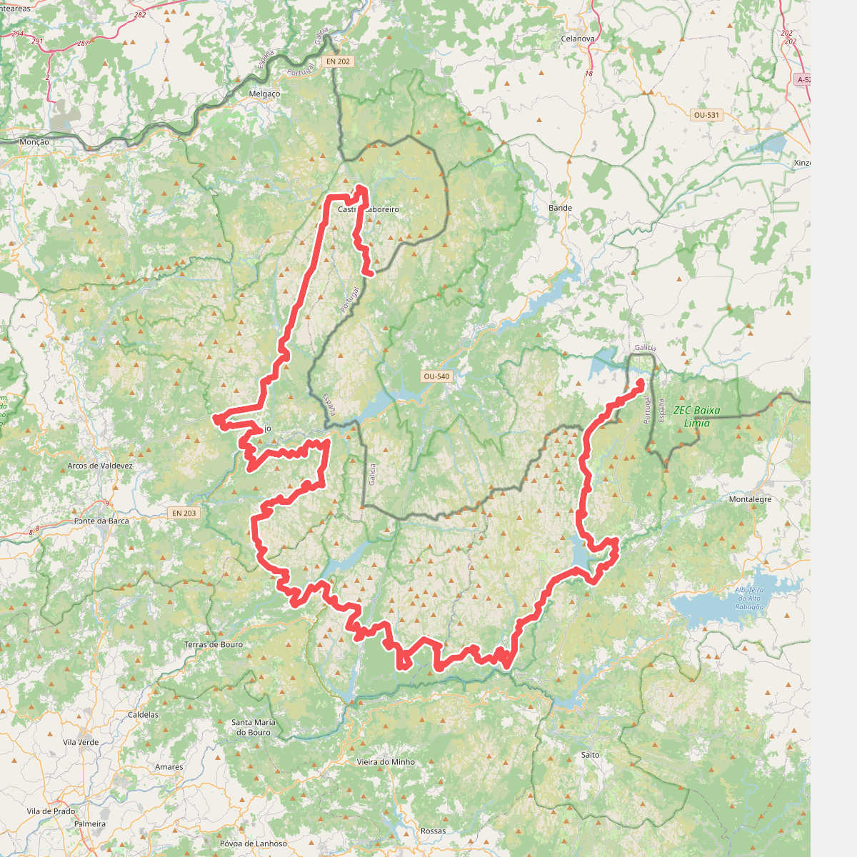
#3. Grande Rota Peneda-Gerês
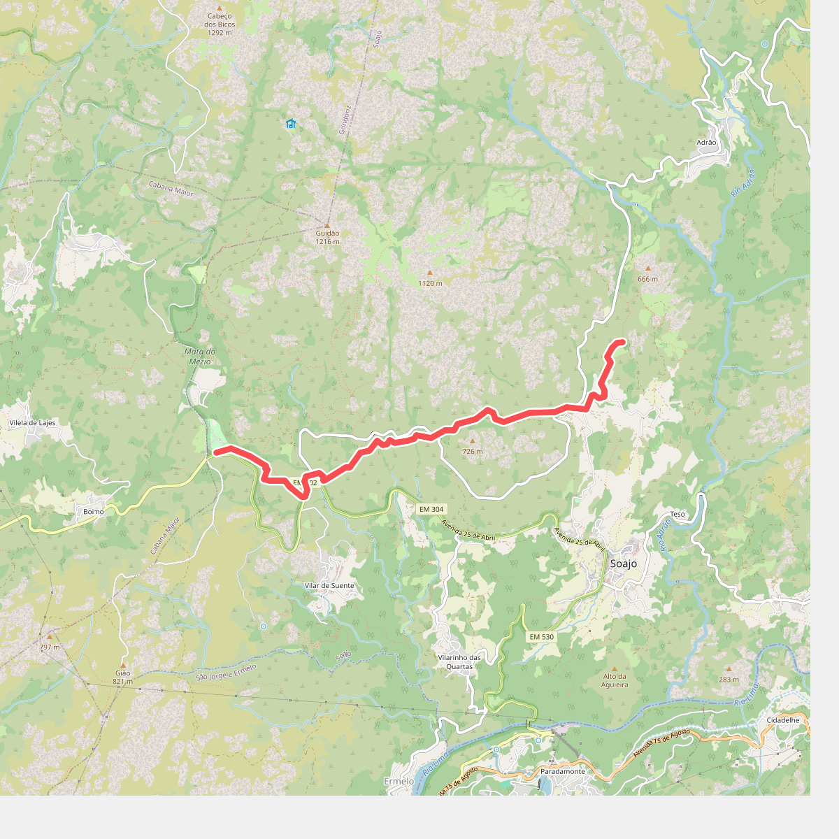
#4. Romeiros da Peneda – Rota de Soajo (Ligação ao Mezio)
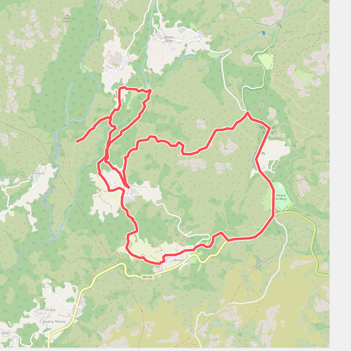
#5. Trilho da Ribeira de Vilela
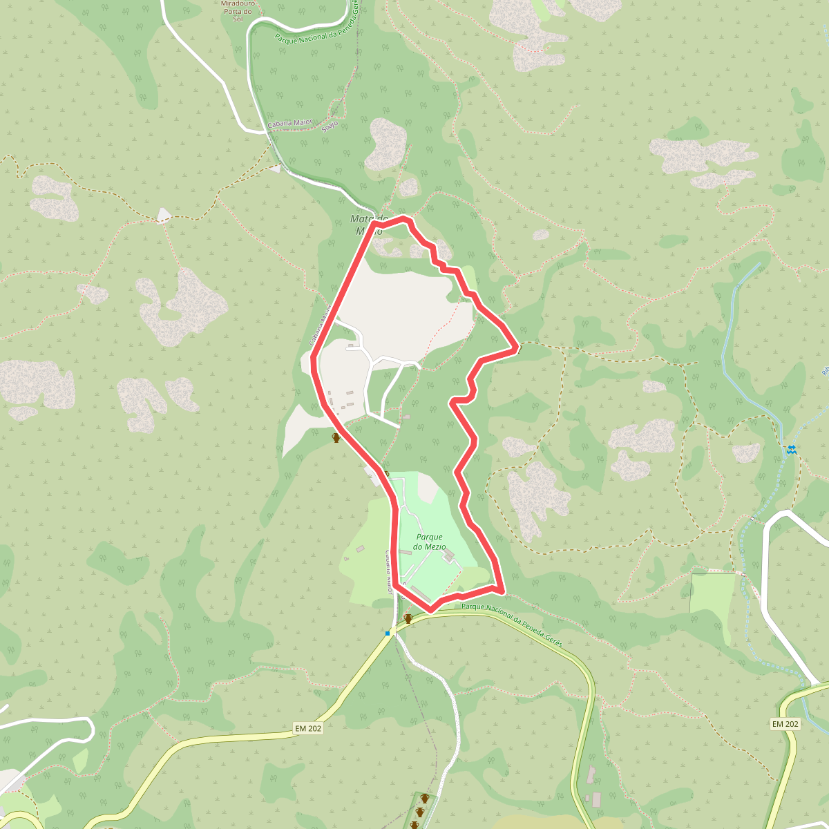
#6. Trilho Interpretativo do Mezio