

The best hiking routes in FFH Mittleres Zwickauer Muldetal
Discover the best walks in FFH Mittleres Zwickauer Muldetal. 57 routes on the map, with descriptions, photos and GPX.
About FFH Mittleres Zwickauer Muldetal
The FFH Mittleres Zwickauer Muldetal offers a walking landscape shaped entirely by the cutting force of the Zwickauer Mulde river. Unlike flatter lowland basins, this protected area is characterized by a deeply incised river valley where steep, wooded slopes squeeze the watercourse. Walkers will find a mix of dense alluvial forests on the narrow floodplains and dry, rocky oak-hornbeam woods clinging to the hillside cliffs. The contrast between the damp, shaded valley floor and the dry, exposed upper slopes is visible within a short climb.
Read more
About FFH Mittleres Zwickauer Muldetal
The FFH Mittleres Zwickauer Muldetal offers a walking landscape shaped entirely by the cutting force of the Zwickauer Mulde river. Unlike flatter lowland basins, this protected area is characterized by a deeply incised river valley where steep, wooded slopes squeeze the watercourse. Walkers will find a mix of dense alluvial forests on the narrow floodplains and dry, rocky oak-hornbeam woods clinging to the hillside cliffs. The contrast between the damp, shaded valley floor and the dry, exposed upper slopes is visible within a short climb.
Read moreThe FFH Mittleres Zwickauer Muldetal offers a walking landscape shaped entirely by the cutting force of the Zwickauer Mulde river. Unlike flatter lowland basins, this protected area is characterized by a deeply incised river valley where steep, wooded slopes squeeze the watercourse. Walkers will find a mix of dense alluvial forests on the narrow floodplains and dry, rocky oak-hornbeam woods clinging to the hillside cliffs. The contrast between the damp, shaded valley floor and the dry, exposed upper slopes is visible within a short climb.
Underfoot, the terrain varies significantly depending on your elevation. Riverside paths often consist of soft, silty earth and gravel tracks that follow the bends of the river, while the ascents to the valley rims turn into narrow, stony dirt paths crisscrossed by tree roots. There are no high mountain peaks here; instead, the landscape is one of constant, moderate elevation changes as paths rise and fall along the river cuts.
In May, the forest floor in the dampest sections of the valley is covered in fresh green wild garlic, while the rocky outcrops remain sparse and dry. The area is well-integrated with local trail networks, meaning you will encounter occasional forestry tracks alongside the more rugged footpaths. It is a functional, wooded river valley where the sound of moving water is a constant companion.
Hiking routes in FFH Mittleres Zwickauer Muldetal (57)
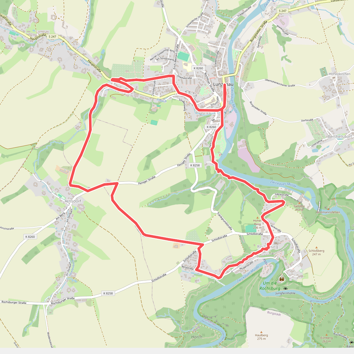
#1. Bilz-Wanderweg
Lunzenau,Penig
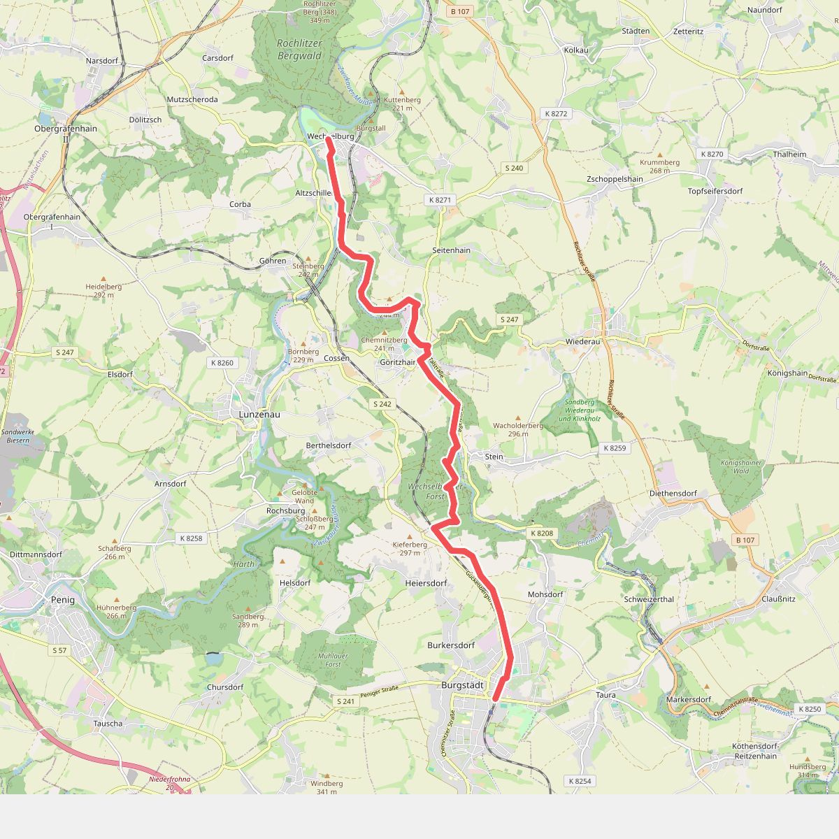
#2. Chemnitztalweg Burgstädt – Wechselburg
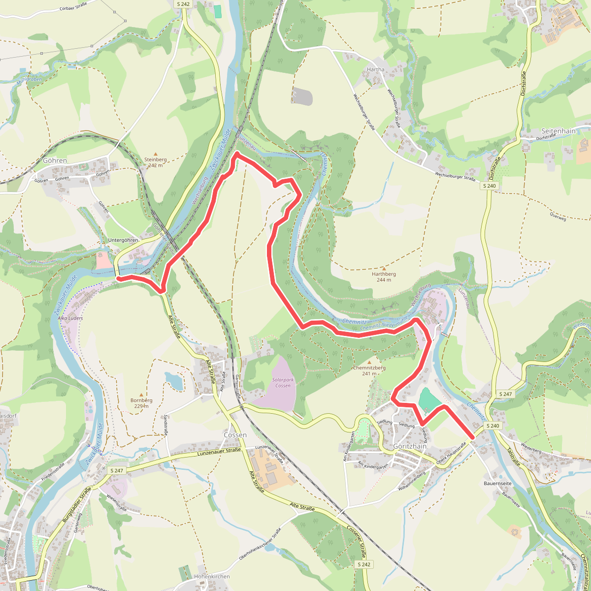
#3. Chemnitztalweg Göritzhain – Göhren
Lunzenau
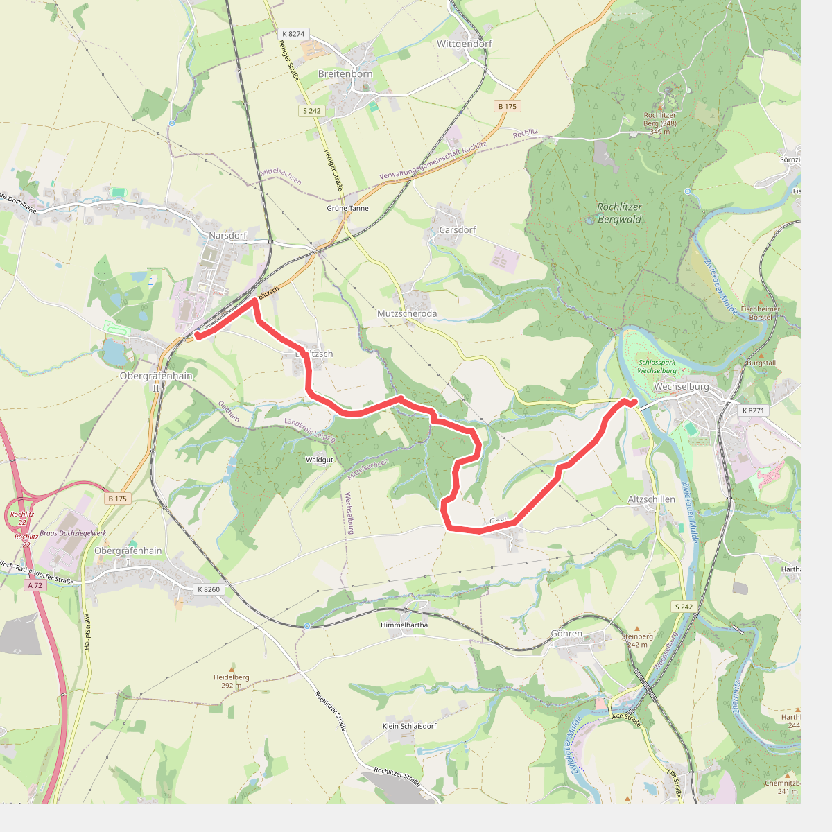
#4. Dölitzschtalweg Wechselburg – Dölitzsch
Wechselburg,Geithain
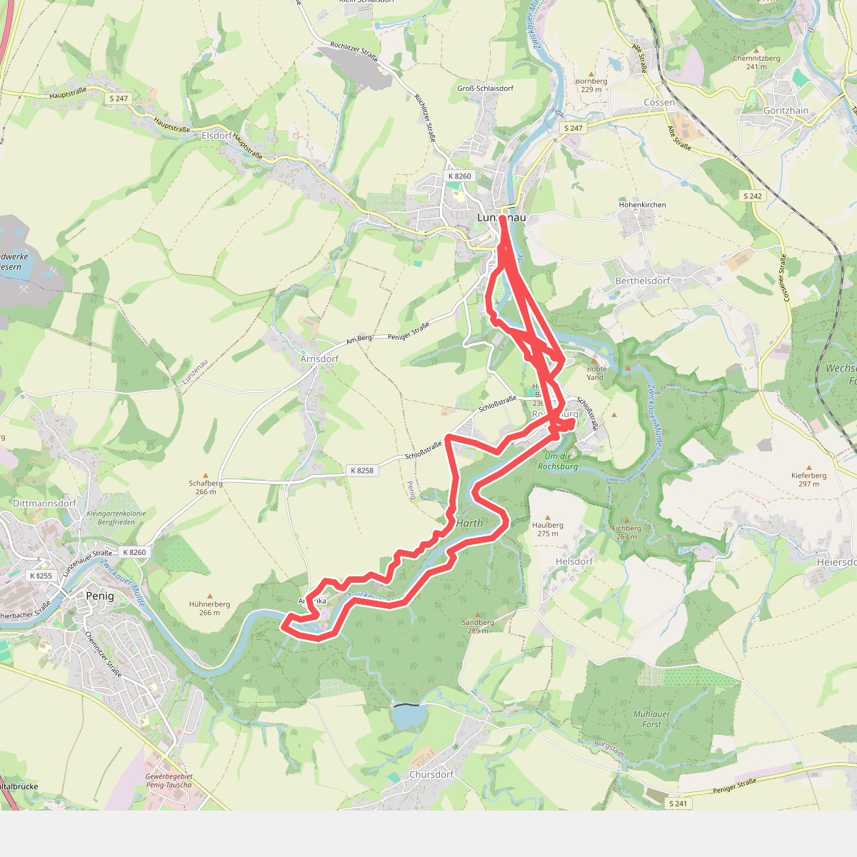
#5. Einmal Amerika und zurück
Lunzenau,Penig,Burgstädt
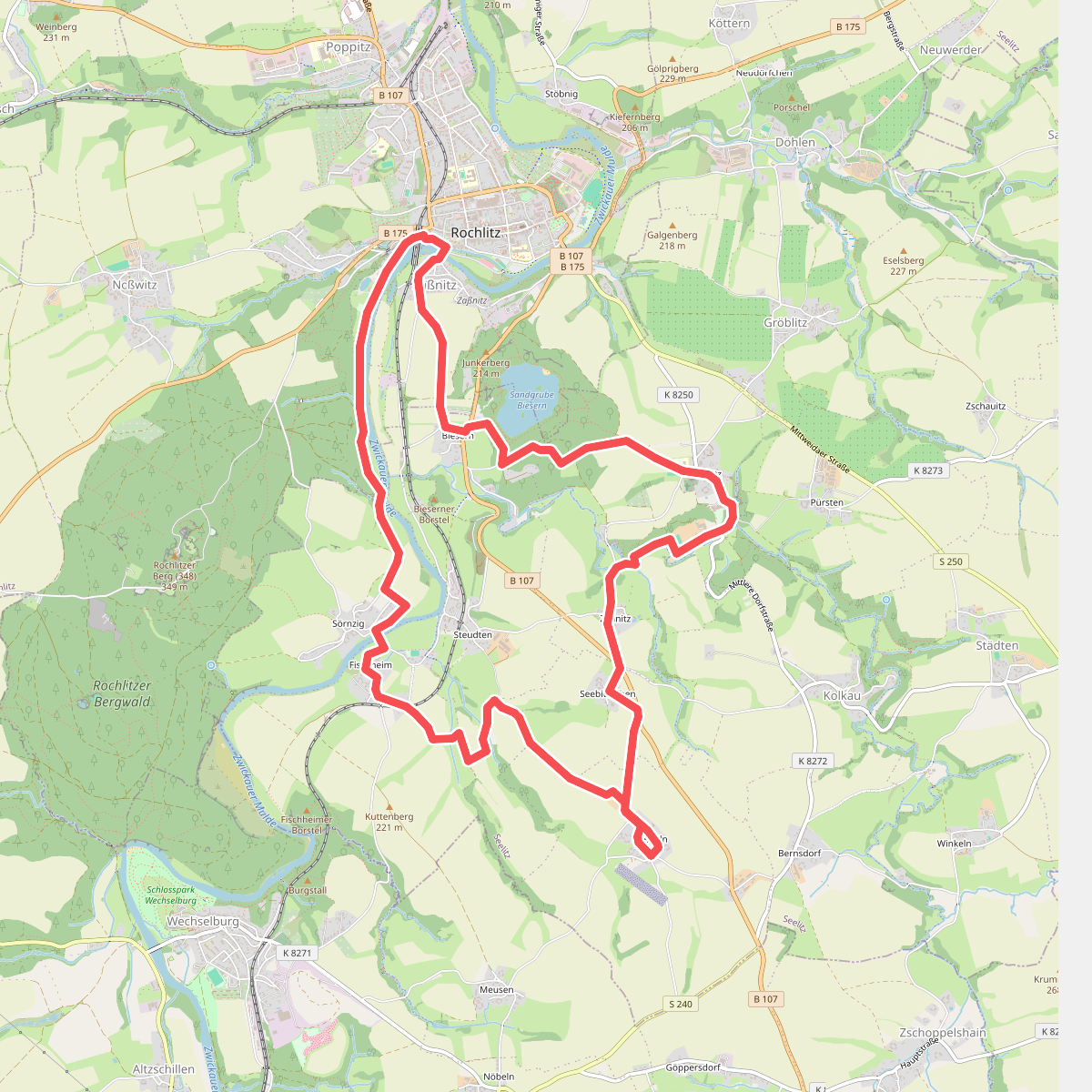
#6. Erlebnistour Seelitz
Rochlitz,Seelitz
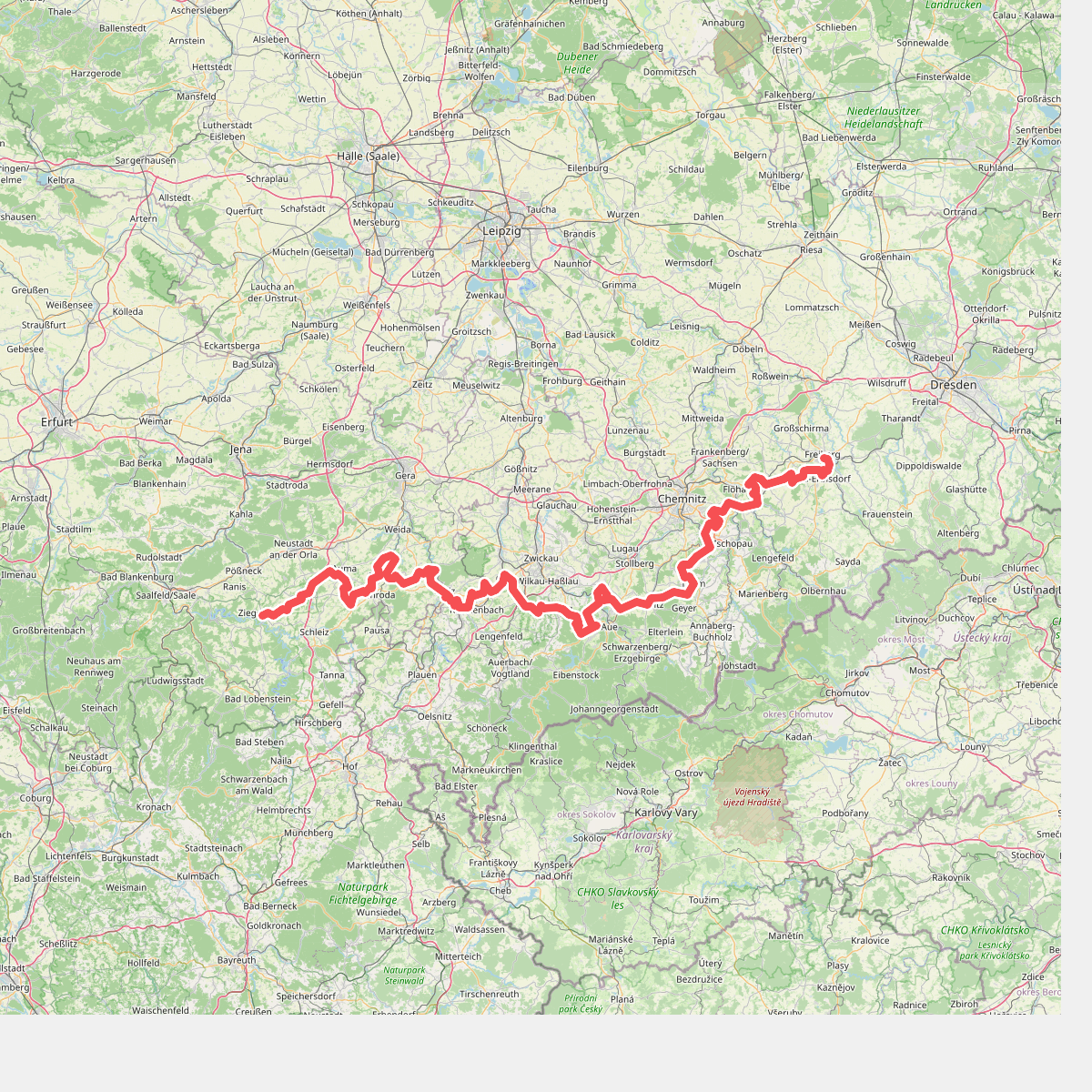
#7. Fernwanderweg Ostsee–Saaletalsperren (Abschnitt Freiberg – Ziegenrück)
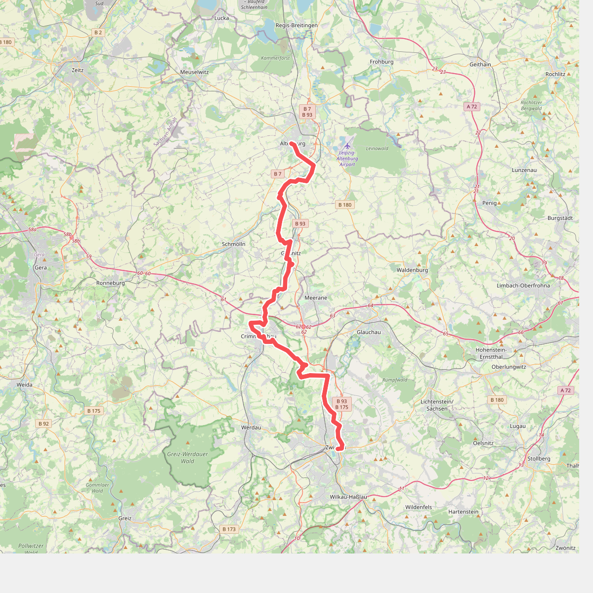
#8. Jakobsweg auf der «Via Imperii», Altenburg-Zwickau
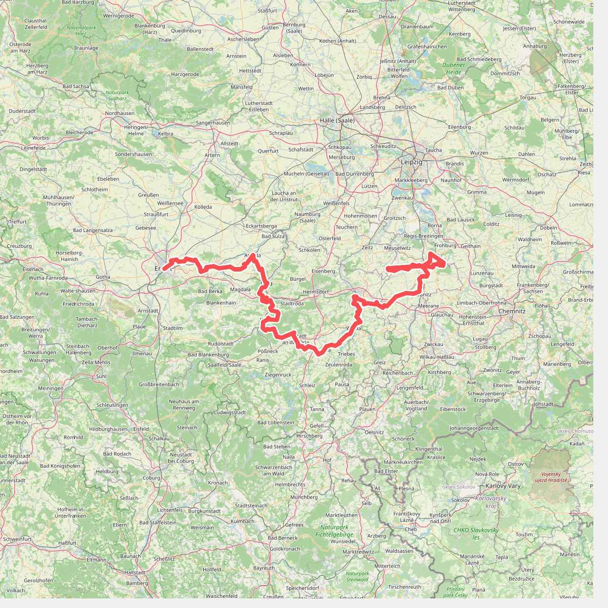
#9. Lutherweg Thüringen - Ostroute
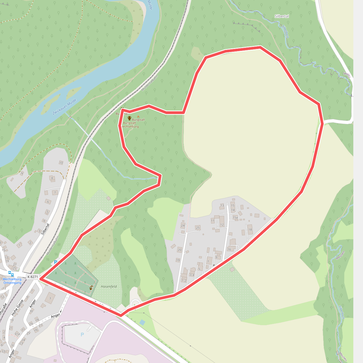
#10. Mittlerer Rundweg Burgstall Wechselburg
Wechselburg
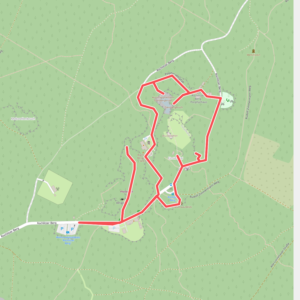
#11. Porphyrlehrpfad
Rochlitz
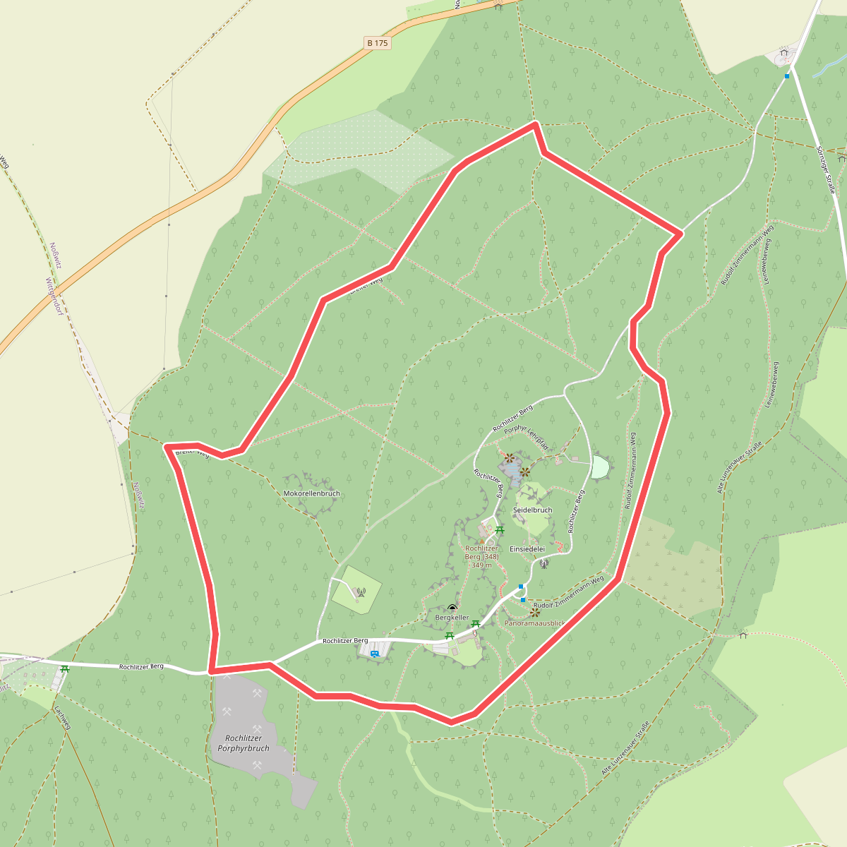
#12. Ringweg Rochlitzer Berg
Rochlitz



