The best hiking routes in Douro Internacional
Discover the best walks in Douro Internacional. 20 routes on the map, with descriptions, photos and GPX.
Managed by Instituto da Conservação da Natureza e das Florestas
About Douro Internacional
Douro Internacional is defined by its deep river canyon, where the Douro River cuts a steep border between Portugal and Spain. Unlike the gentle, terraced vineyards further downstream, this protected area features high, sheer granite cliffs and rugged, scrubby plateaus. The landscape is dry and rocky, dominated by juniper bushes, holm oaks, and ancient olive groves. Walkers will find a stark, Mediterranean environment where the scale is dictated by the vertical drop of the gorge rather than rolling hills.
Read more
About Douro Internacional
Douro Internacional is defined by its deep river canyon, where the Douro River cuts a steep border between Portugal and Spain. Unlike the gentle, terraced vineyards further downstream, this protected area features high, sheer granite cliffs and rugged, scrubby plateaus. The landscape is dry and rocky, dominated by juniper bushes, holm oaks, and ancient olive groves. Walkers will find a stark, Mediterranean environment where the scale is dictated by the vertical drop of the gorge rather than rolling hills.
Read moreDouro Internacional is defined by its deep river canyon, where the Douro River cuts a steep border between Portugal and Spain. Unlike the gentle, terraced vineyards further downstream, this protected area features high, sheer granite cliffs and rugged, scrubby plateaus. The landscape is dry and rocky, dominated by juniper bushes, holm oaks, and ancient olive groves. Walkers will find a stark, Mediterranean environment where the scale is dictated by the vertical drop of the gorge rather than rolling hills.
Underfoot, the terrain consists mostly of rough, stony dirt tracks and old agricultural paths. There are no boardwalks or manicured gravel paths here; instead, you will navigate uneven bedrock and loose schist. The walking requires constant attention to your footing, especially on the steep descents leading down to the riverbank. In March, the landscape is marked by the white blossoms of wild almond trees, contrasting sharply with the grey stone cliffs.
This is not a place for lush forests or soft meadows. It is a harsh, exposed environment where shade is rare and the vegetation is low and resilient. The main appeal lies in the dramatic geology of the cliffs, which serve as nesting sites for rare birds of prey like the Egyptian vulture. You will mostly encounter quiet, working agricultural land on the high plateaus, punctuated by traditional stone pigeon houses and sheep pastures.
Hiking routes in Douro Internacional (20)
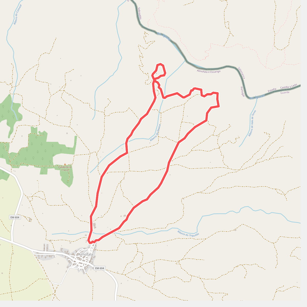
#1. Almofala - Santo André das Arribas
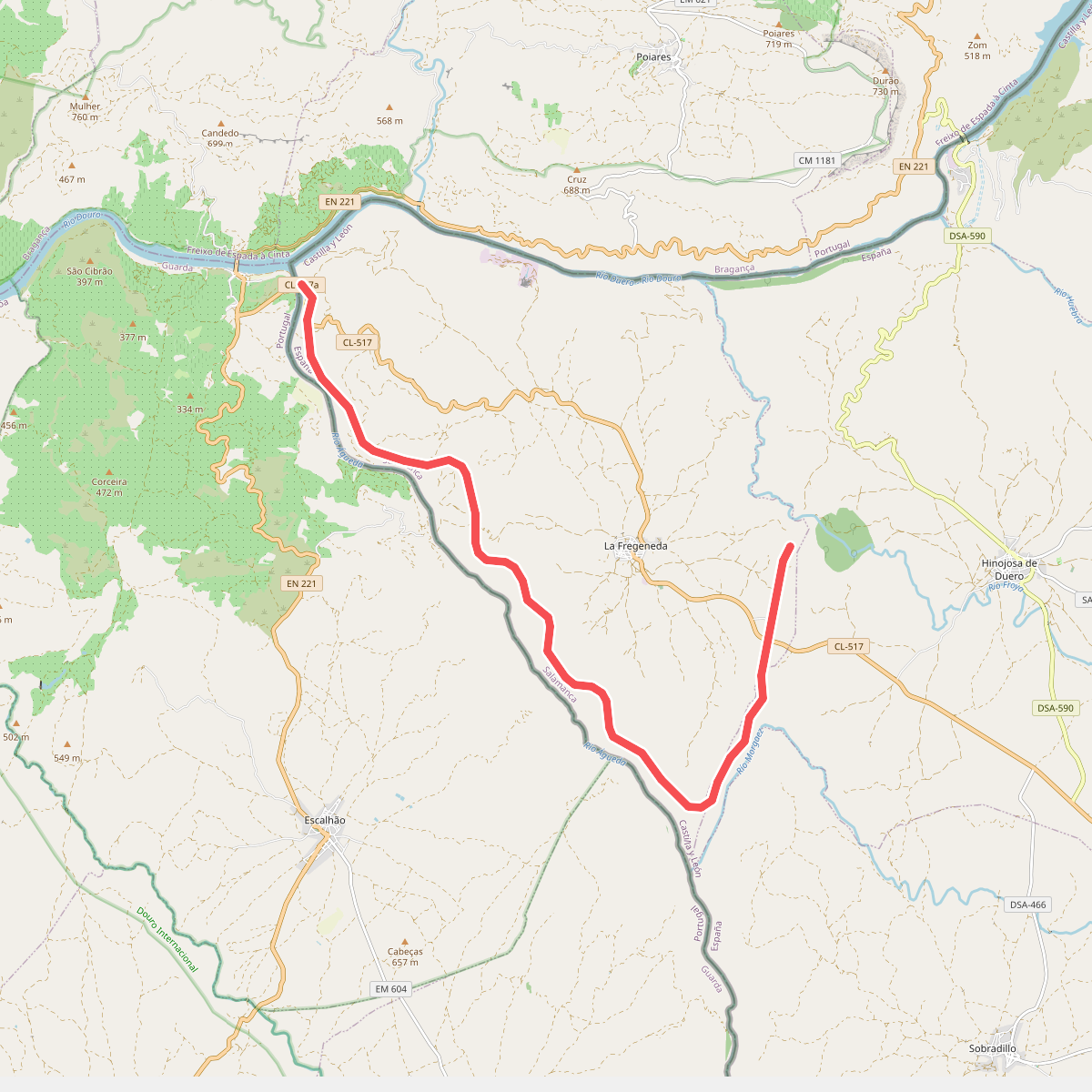
#2. Camino de Hierro
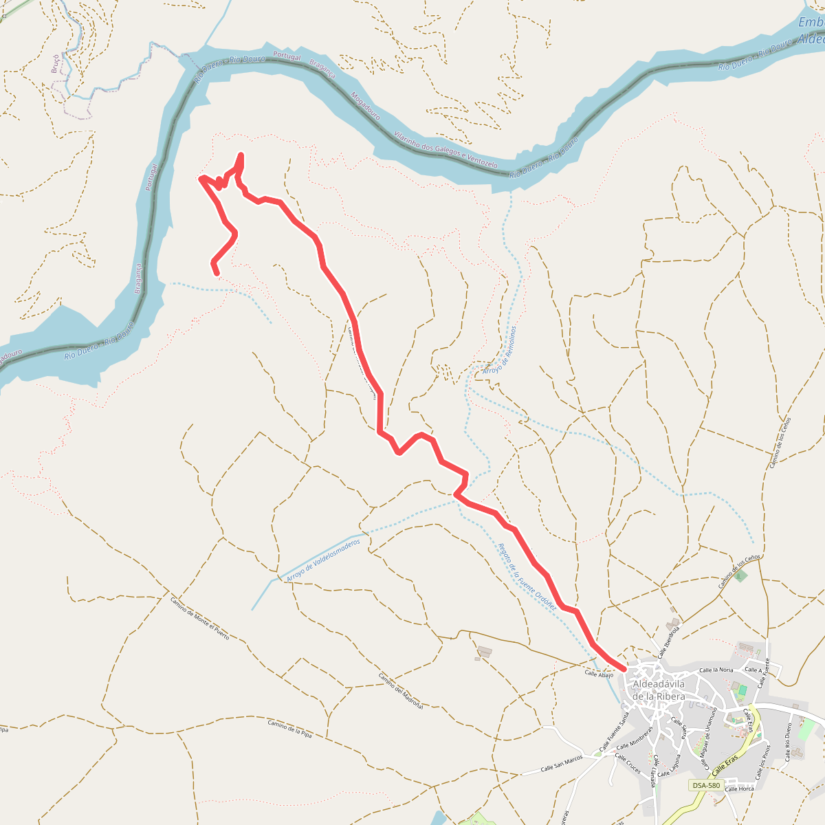
#3. camino del mirador de Rupitín
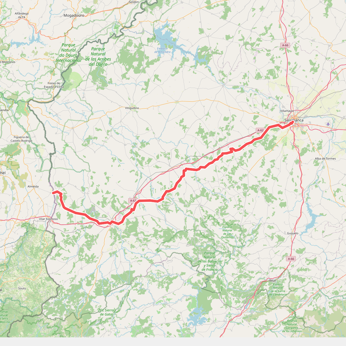
#4. Camino Torres - 01 Salamanca to Almeida
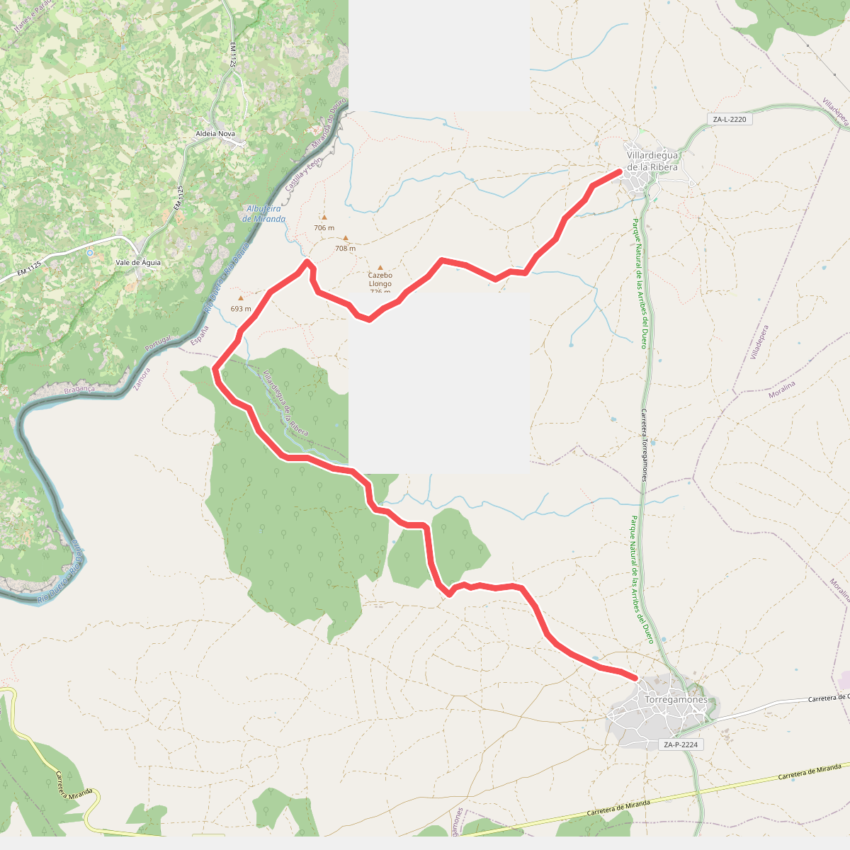
#5. Etapa 23: Villardiegua de la Ribera – Torregamones
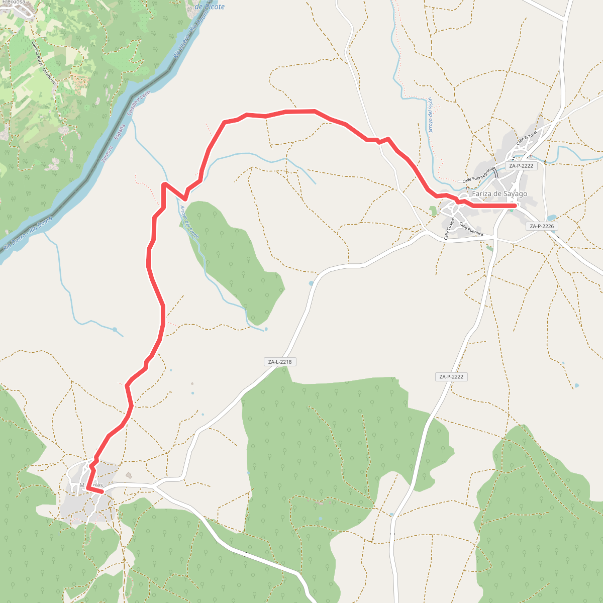
#6. Etapa 28: Fariza – Mámoles
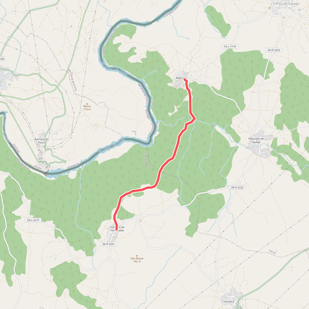
#7. Etapa 29: Mámoles – Fornillos de Fermoselle
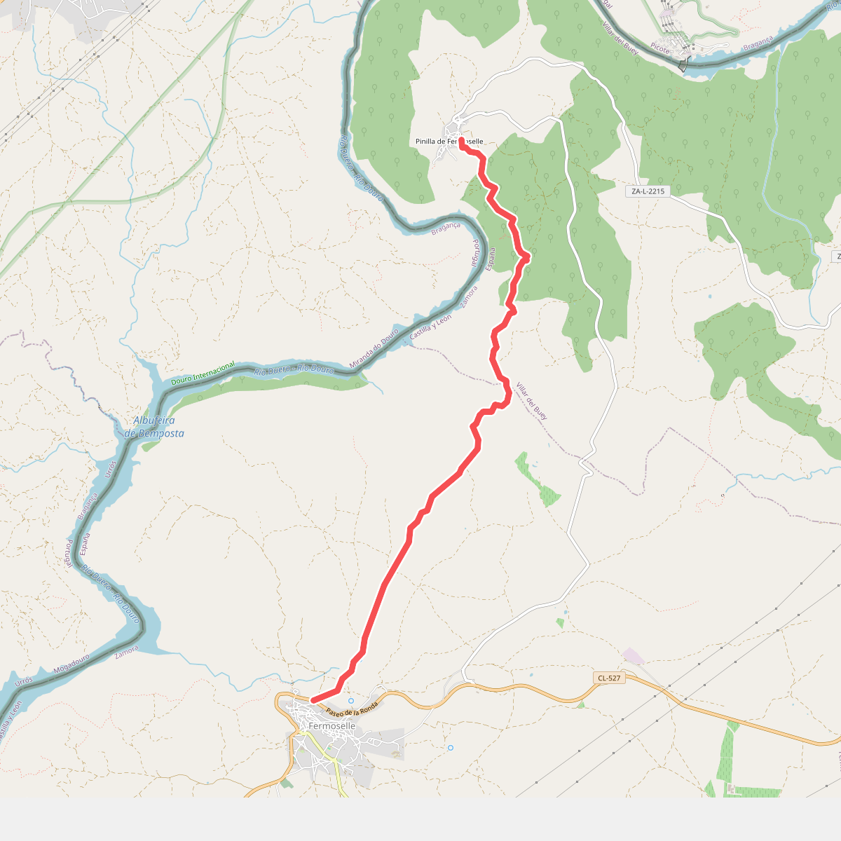
#8. Etapa 31: Pinilla de Fermoselle – Fermoselle
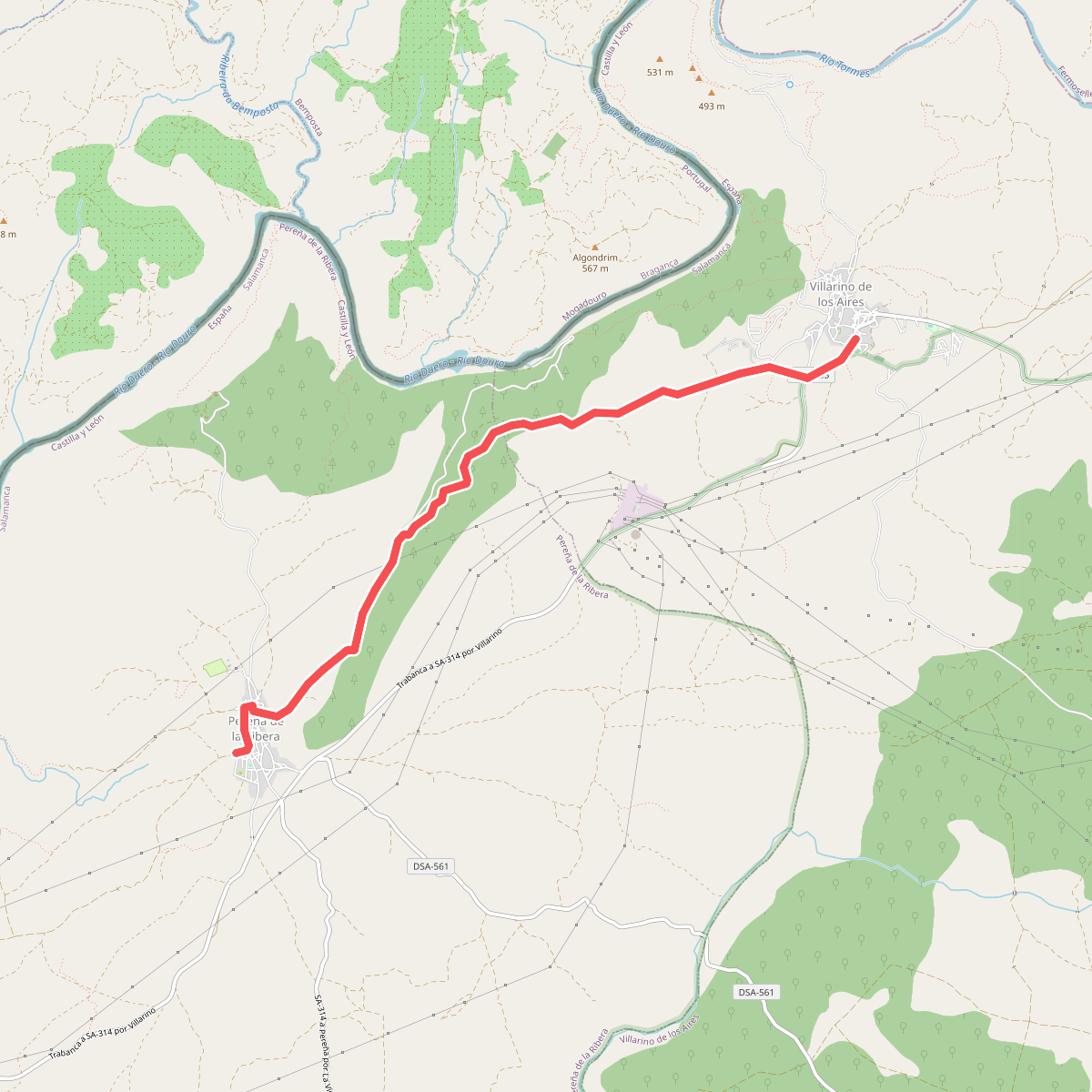
#9. Etapa 34: Villarino de los Aires – Pereña de la Ribera
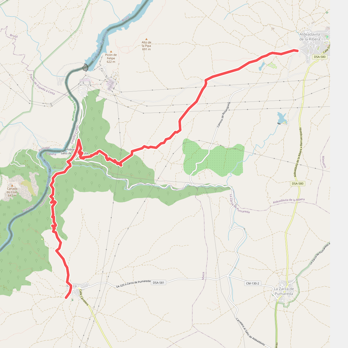
#10. Etapa 37: Aldeadávila de la Ribera – Mieza
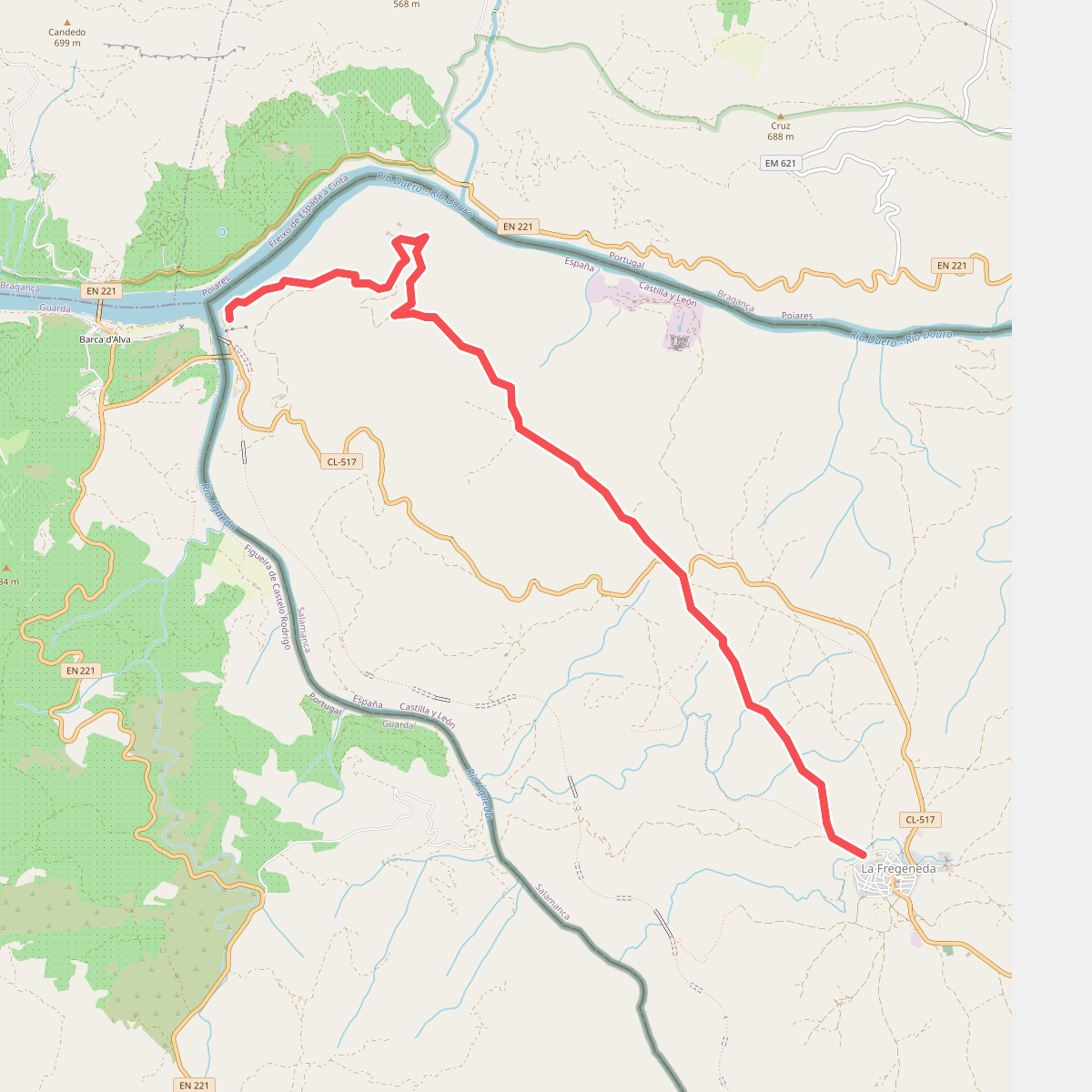
#11. Etapa 42: La Fregeneda – Vega Terrón