

The best hiking routes in CHKO Brdy
Discover the best walks in CHKO Brdy. 38 routes on the map, with descriptions, photos and GPX.
About CHKO Brdy
CHKO Brdy offers a distinct hiking landscape defined by its history as a restricted military training area, which kept the region largely uninhabited and free from modern development. Unlike the jagged sandstone towers found in northern Bohemia, this highland consists of broad, gently rounded ridges covered by vast, dense spruce and beech forests. The terrain is characterized by stony forest tracks, wide firebreaks, and occasional open patches of heathland and peat bogs that have formed in the higher, damp depressions.
Read more
About CHKO Brdy
CHKO Brdy offers a distinct hiking landscape defined by its history as a restricted military training area, which kept the region largely uninhabited and free from modern development. Unlike the jagged sandstone towers found in northern Bohemia, this highland consists of broad, gently rounded ridges covered by vast, dense spruce and beech forests. The terrain is characterized by stony forest tracks, wide firebreaks, and occasional open patches of heathland and peat bogs that have formed in the higher, damp depressions.
Read moreCHKO Brdy offers a distinct hiking landscape defined by its history as a restricted military training area, which kept the region largely uninhabited and free from modern development. Unlike the jagged sandstone towers found in northern Bohemia, this highland consists of broad, gently rounded ridges covered by vast, dense spruce and beech forests. The terrain is characterized by stony forest tracks, wide firebreaks, and occasional open patches of heathland and peat bogs that have formed in the higher, damp depressions.
Walking here means navigating a network of long, straight gravel roads and rougher dirt paths that can become muddy in low-lying sections. You will notice a lack of permanent villages or tourist infrastructure inside the core zone, replaced instead by occasional ruins of forestry lodges, old paved military tarmac, and small, artificial water reservoirs built for timber floating or military use. The highest points, such as Praha or Tok, are broad, flat plateaus rather than sharp peaks, offering wide views over the treetops to the surrounding rolling hills.
In late summer, particularly during August and September, the open clearings and former military target areas turn purple with blooming heather, contrasting with the dark green of the surrounding pine and spruce plantations. While the peripheral trailheads can be busy with cyclists and families on weekends, the deep interior of the forest remains quiet, attracting those who prefer long, steady walks on firm forestry tracks through quiet, uniform woodland.
Hiking routes in CHKO Brdy (38)
![[Č] Blovice - Chynín](https://wandelweb.fsn1.your-objectstorage.com/tracks/static-maps/35395-1779134199-large.png)
#1. [Č] Blovice - Chynín
Blovice,Spálené Poříčí,Nové Mitrovice,Čížkov
![[Č] Dlouhá - Hudčice](https://wandelweb.fsn1.your-objectstorage.com/tracks/static-maps/35408-1779134209-large.png)
#2. [Č] Dlouhá - Hudčice
Hvožďany,Rožmitál pod Třemšínem,Hudčice,Koupě
![[Č] Rožmitál p. T. - Třemšín](https://wandelweb.fsn1.your-objectstorage.com/tracks/static-maps/35418-1779134217-large.png)
#3. [Č] Rožmitál p. T. - Třemšín
Rožmitál pod Třemšínem
![[Č] Strašice - Kařízek](https://wandelweb.fsn1.your-objectstorage.com/tracks/static-maps/35598-1779134296-large.png)
#4. [Č] Strašice - Kařízek
Strašice,Mýto,Kařízek,Újezd
![[Č] Tři trubky - Dlouhá](https://wandelweb.fsn1.your-objectstorage.com/tracks/static-maps/35419-1779134218-large.png)
#5. [Č] Tři trubky - Dlouhá
Strašice,Věšín,Skořice,Míšov,Čížkov,Hvožďany
![[Č] U Lhotky - Kařízek](https://wandelweb.fsn1.your-objectstorage.com/tracks/static-maps/35591-1779134293-large.png)
#6. [Č] U Lhotky - Kařízek
Lhotka,Lochovice,Jince,Rpety,Hořovice,Osek,Újezd
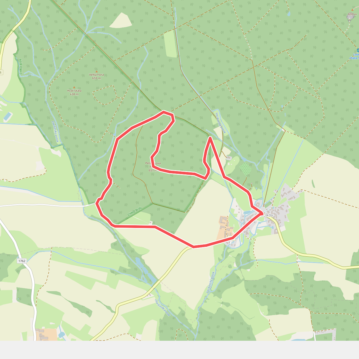
#7. Informační stezka Petráčkova hora
Hvožďany
![[M] Dominikální Paseky - Rosovice](https://wandelweb.fsn1.your-objectstorage.com/tracks/static-maps/35610-1779134300-large.png)
#8. [M] Dominikální Paseky - Rosovice
Bratkovice,Hluboš,Pičín,Buková u Příbramě,Rosovice
![[M] K letišti - U Šraňku](https://wandelweb.fsn1.your-objectstorage.com/tracks/static-maps/35599-1779134297-large.png)
#9. [M] K letišti - U Šraňku
Malá Víska,Obecnice
![[M] Kařez - Čenkov](https://wandelweb.fsn1.your-objectstorage.com/tracks/static-maps/35592-1779134293-large.png)
#10. [M] Kařez - Čenkov
Čenkov,Jince,Křešín,Felbabka,Podluhy,Hvozdec,Komárov,Újezd,Kařízek,Kařez
![[M] Obecnice-Sobenský rybník](https://wandelweb.fsn1.your-objectstorage.com/tracks/static-maps/35593-1779134295-large.png)
#11. [M] Obecnice-Sobenský rybník
Obecnice,Vranovice,Nepomuk,Rožmitál pod Třemšínem
![[M] Orlov - Třemošná , místní okruh](https://wandelweb.fsn1.your-objectstorage.com/tracks/static-maps/35619-1779134301-large.png)
#12. [M] Orlov - Třemošná , místní okruh
Obecnice,Příbram



