The best hiking routes in Blieskastel (alter Landkreis Homburg, Bereich XI)
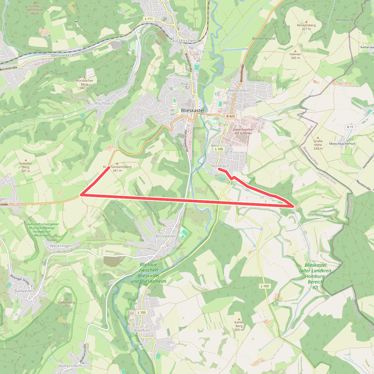
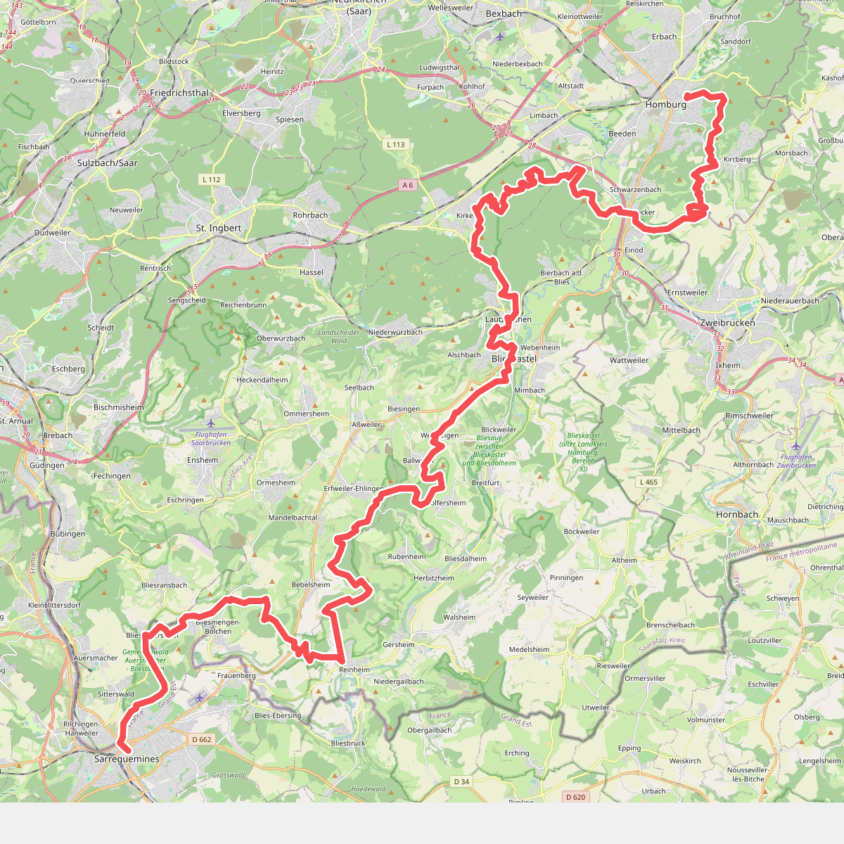
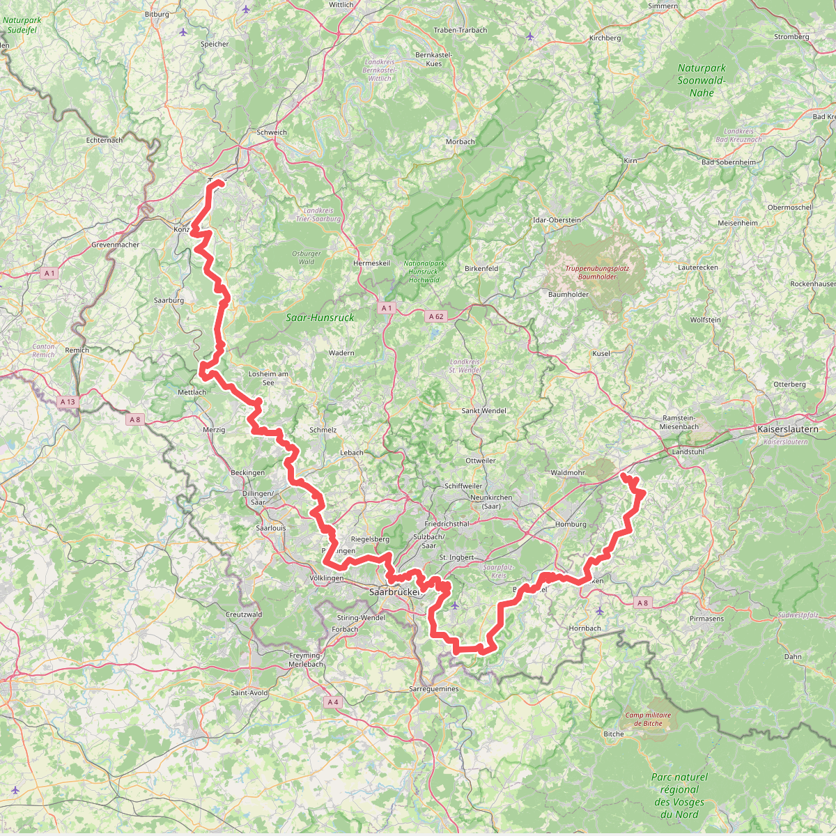
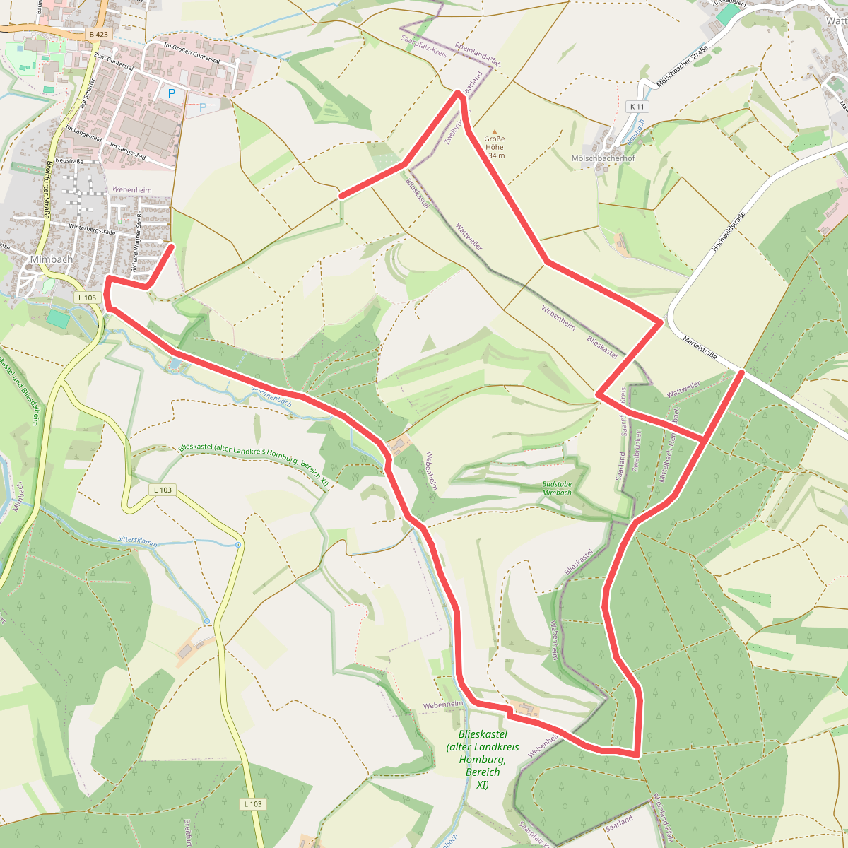
Discover the best walks in Blieskastel (alter Landkreis Homburg, Bereich XI). 4 routes on the map, with descriptions, photos and GPX.
Managed by Bundesamt für Naturschutz
About Blieskastel (alter Landkreis Homburg, Bereich XI)
Blieskastel (alter Landkreis Homburg, Bereich XI) is characterized by a gently rolling Muschelkalk plateau that transitions into the alluvial plains of the Blies valley. Walkers will notice a distinct contrast between the dry, limestone-rich soils on the heights and the heavier, damp clay soils closer to the riverbanks. The landscape is a mosaic of open arable fields, ancient beech woodlots, and traditional orchard meadows, known locally as Streuobstwiesen, which shape the agricultural character of this protected area.
Read more
About Blieskastel (alter Landkreis Homburg, Bereich XI)
Blieskastel (alter Landkreis Homburg, Bereich XI) is characterized by a gently rolling Muschelkalk plateau that transitions into the alluvial plains of the Blies valley. Walkers will notice a distinct contrast between the dry, limestone-rich soils on the heights and the heavier, damp clay soils closer to the riverbanks. The landscape is a mosaic of open arable fields, ancient beech woodlots, and traditional orchard meadows, known locally as Streuobstwiesen, which shape the agricultural character of this protected area.
Read moreBlieskastel (alter Landkreis Homburg, Bereich XI) is characterized by a gently rolling Muschelkalk plateau that transitions into the alluvial plains of the Blies valley. Walkers will notice a distinct contrast between the dry, limestone-rich soils on the heights and the heavier, damp clay soils closer to the riverbanks. The landscape is a mosaic of open arable fields, ancient beech woodlots, and traditional orchard meadows, known locally as Streuobstwiesen, which shape the agricultural character of this protected area.
Underfoot, the paths vary from hard-packed agricultural dirt tracks and gravel lanes on the higher ground to softer, earthier paths through the wooded sections and valley bottoms. Because of the limestone geology, rainwater drains quickly on the upper slopes, leaving the ground firm, while the lower meadows near the Blies river retain moisture and feature denser, lusher vegetation. There are no steep mountain peaks or deep gorges here, only gradual elevation changes that offer clear views across the cultivated valley.
In May, the orchard meadows are marked by apple and pear blossoms, while the limestone beech forests show a ground cover of wild herbs. The area is generally quiet, though paths closer to the edges of Blieskastel town see regular local use. Walking here is about observing a long-standing cultural landscape where farming and nature conservation exist side by side.