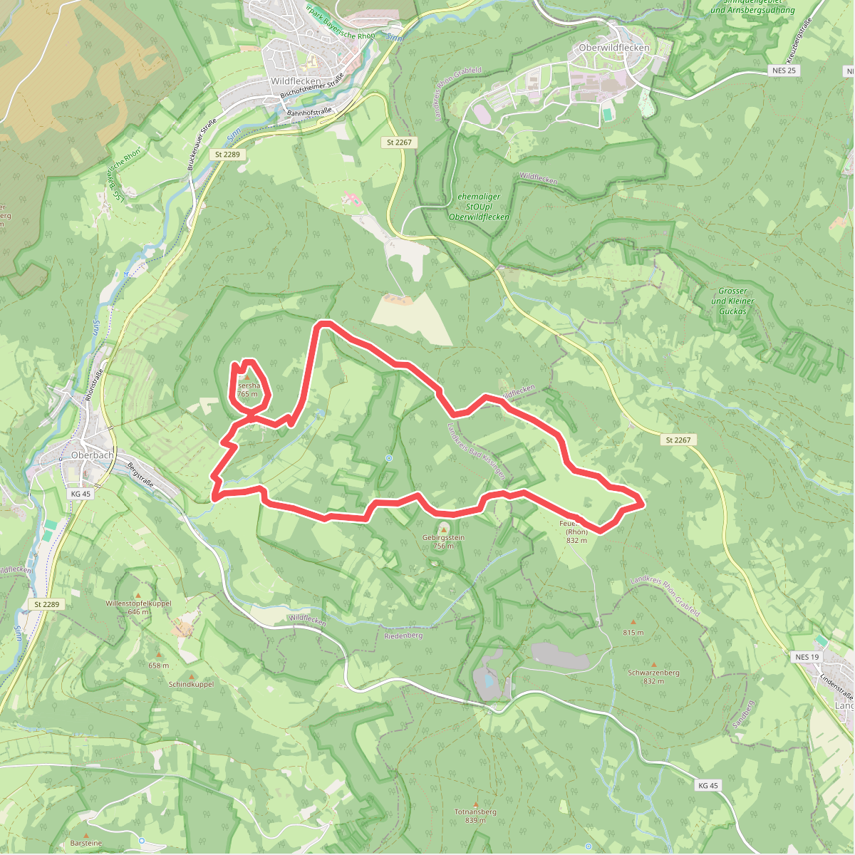
The best hiking routes in Bayerische Hohe Rhön
Discover the best walks in Bayerische Hohe Rhön. 114 routes on the map, with descriptions, photos and GPX.
About Bayerische Hohe Rhön
The Bayerische Hohe Rhön is a high-altitude basalt plateau characterized by open, treeless pastures, rough meadows, and extensive upland moors. Unlike the forested valleys of the lower Rhön, this protected area sits mostly above seven hundred meters, where volcanic soils and historical forest clearing for grazing have created a wide, rolling landscape of grassland and peat. Walkers should expect a terrain dominated by rough grass, stony soil, and exposed basalt formations, rather than deep ravines or dense woodland.
Read more
About Bayerische Hohe Rhön
The Bayerische Hohe Rhön is a high-altitude basalt plateau characterized by open, treeless pastures, rough meadows, and extensive upland moors. Unlike the forested valleys of the lower Rhön, this protected area sits mostly above seven hundred meters, where volcanic soils and historical forest clearing for grazing have created a wide, rolling landscape of grassland and peat. Walkers should expect a terrain dominated by rough grass, stony soil, and exposed basalt formations, rather than deep ravines or dense woodland.
Read moreThe Bayerische Hohe Rhön is a high-altitude basalt plateau characterized by open, treeless pastures, rough meadows, and extensive upland moors. Unlike the forested valleys of the lower Rhön, this protected area sits mostly above seven hundred meters, where volcanic soils and historical forest clearing for grazing have created a wide, rolling landscape of grassland and peat. Walkers should expect a terrain dominated by rough grass, stony soil, and exposed basalt formations, rather than deep ravines or dense woodland.
Underfoot, the routes vary from stony dirt tracks and grassy farm lanes to wooden boardwalks that cross the delicate peat bogs of the Rotes Moor. These boardwalks protect the wet, mossy ground from erosion while allowing you to observe the stunted birch trees and dark pools typical of the high moorland. The open pastures are often divided by historic stone walls, built from basalt cleared from the fields, which now serve as habitats for specialized plants and insects.
This area is not a destination for alpine climbing or sheltered forest walks. The high plateau is fully exposed to the elements, meaning that vegetation is low and stunted, and there is little shelter from the wind. While the main boardwalk sections and key viewpoints can attract steady visitor numbers, the wider network of grassy paths across the high meadows offers a quieter, more solitary walking experience.
Hiking routes in Bayerische Hohe Rhön (114)
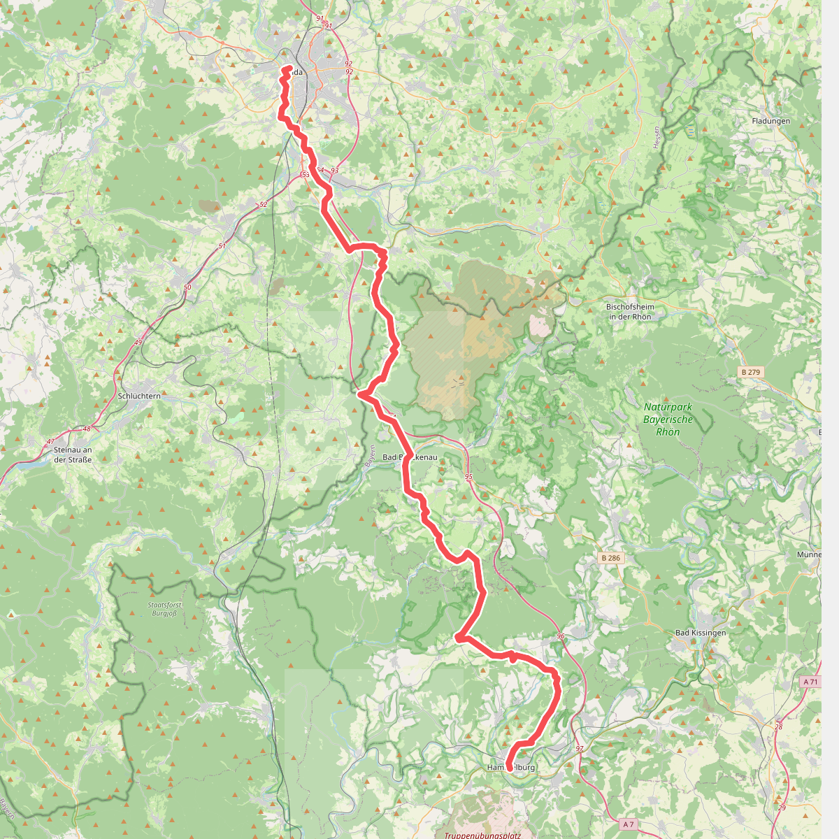
#1. Abtsweg
Fulda,Motten,Römershager Forst-Nord,Bad Brückenau,Oberleichtersbach,Schondra,Geiersnest Ost,Neuwirtshauser Forst,Wartmannsroth,Oberthulba,Hammelburg
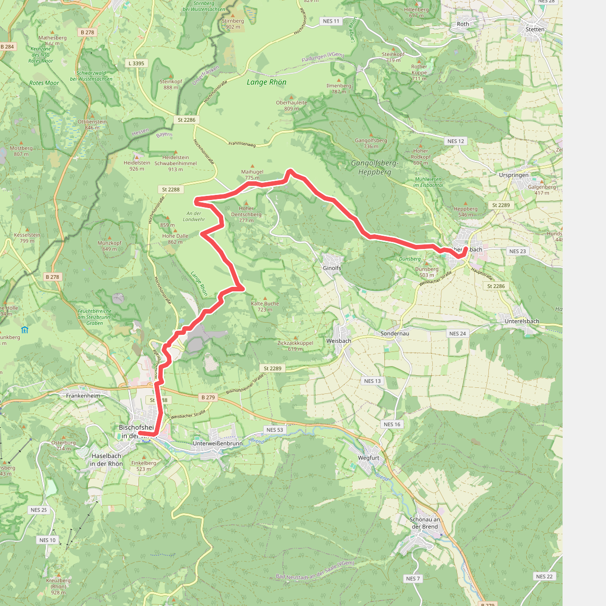
#2. Bischofsheim - Oberelsbach
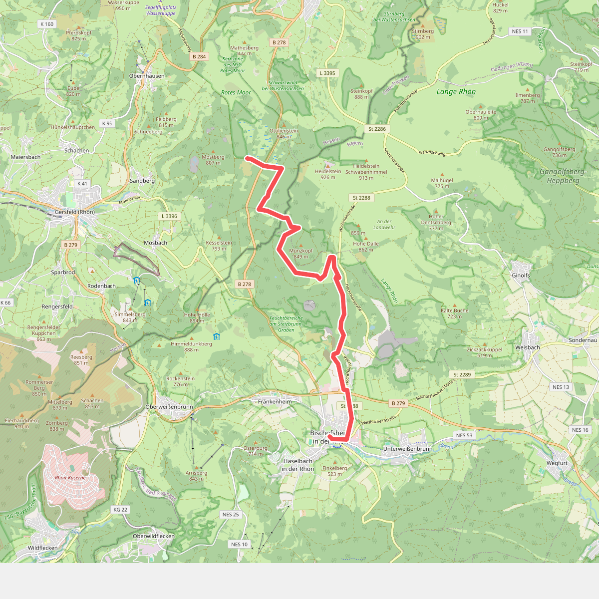
#3. Bischofsheim - Rotes Moor
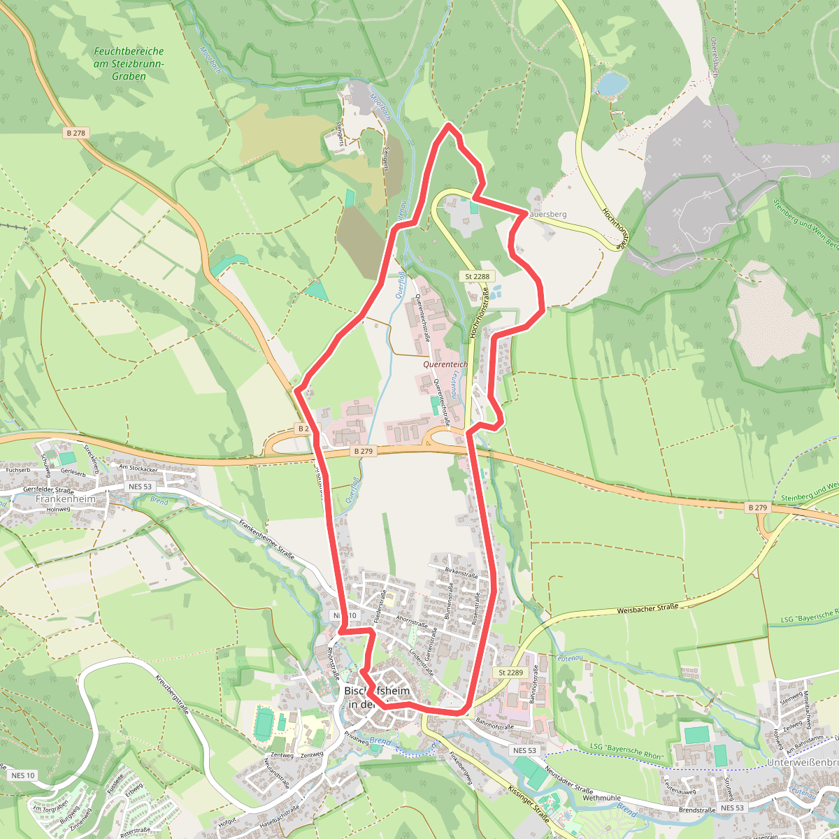
#4. Bischofsheim Rundweg 1 - Zum Bauersberg
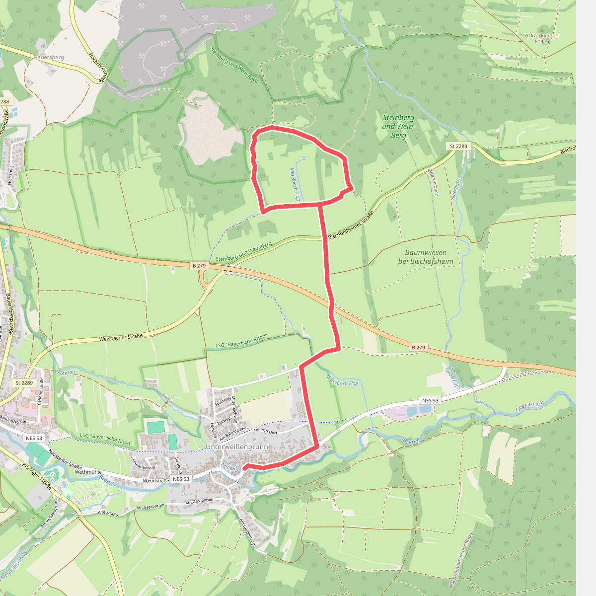
#5. Bischofsheim Rundweg 3 Unterweißenbrunn - Zur Geißruheiche
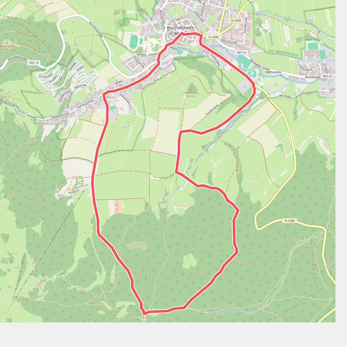
#6. Bischofsheim Rundweg 5 - Auf den Käuling
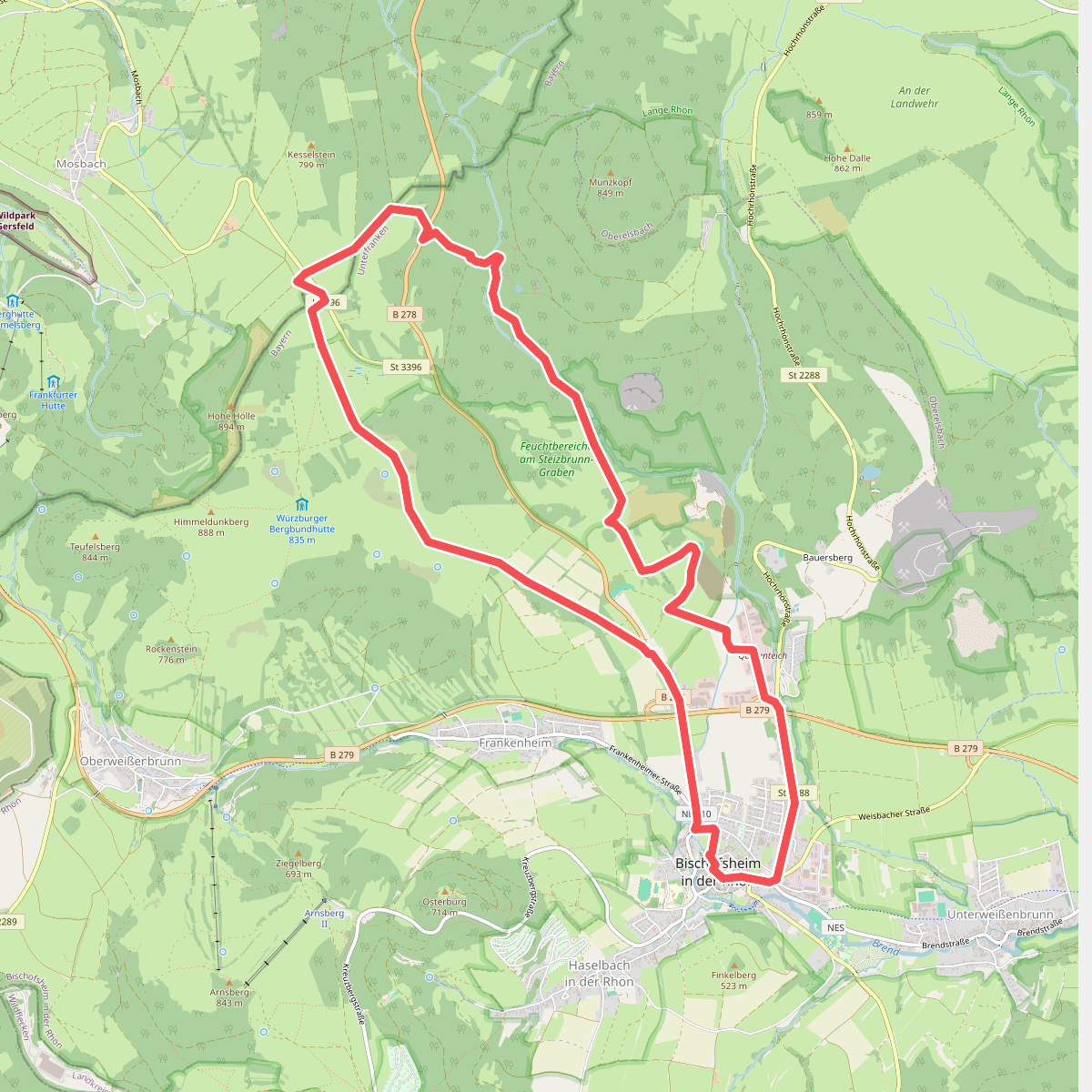
#7. Bischofsheim Rundweg 6 - Zum Rhönhäuschen
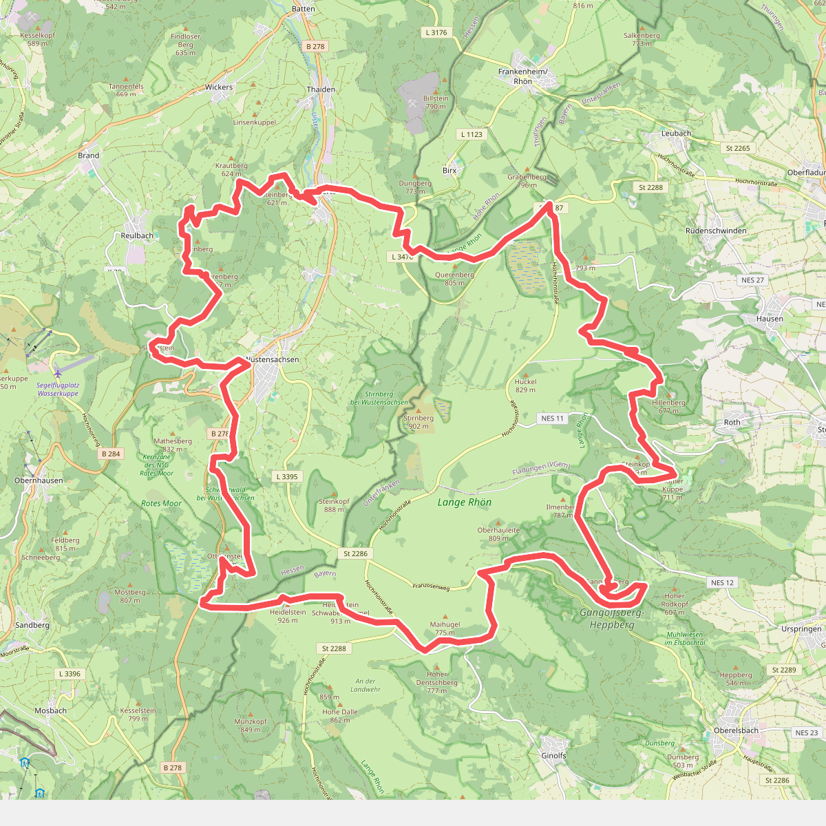
#8. Buchoniarundweg
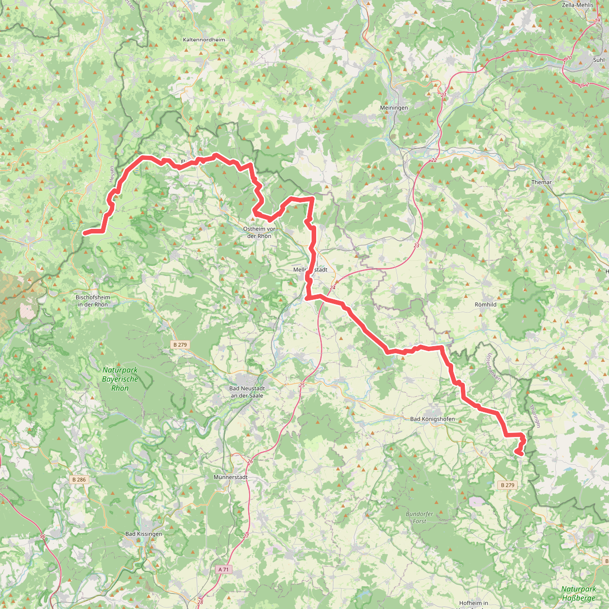
#9. Europäischer Fernwanderweg E3, Bayrische Rhön
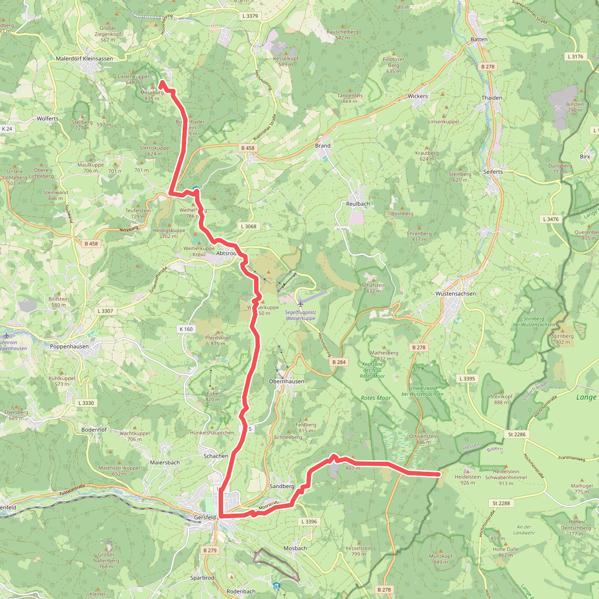
#10. Europäischer Fernwanderweg E3 und E6, Hessische Rhön (Milseburg - Heidelstein)
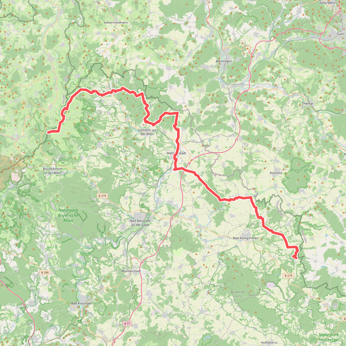
#11. Europäischer Fernwanderweg E6, Deutschland, Bayrische Rhön