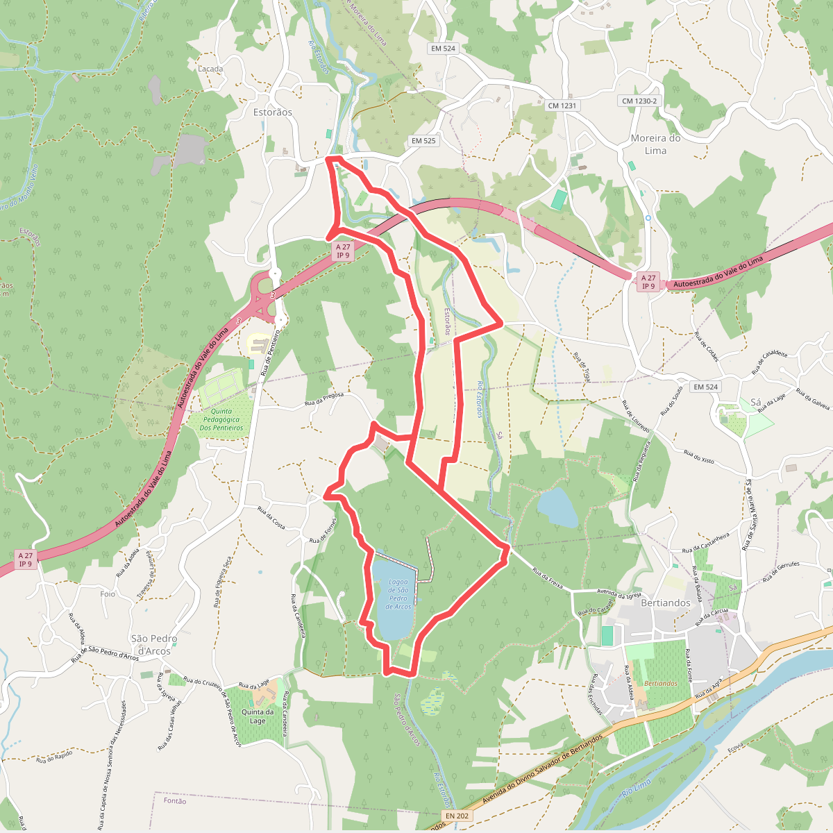
The best hiking routes in Zona Especial de Conservação do Rio Lima
Discover the best walks in Zona Especial de Conservação do Rio Lima. 19 routes on the map, with descriptions, photos and GPX.
Managed by Instituto da Conservação da Natureza e das Florestas
About Zona Especial de Conservação do Rio Lima
The Zona Especial de Conservação do Rio Lima follows the course of the Lima River, offering a landscape defined by its transition from a wide, slow-flowing river corridor to dense riparian forests and agricultural plains. Unlike the rugged mountain ranges nearby, this protected area is flat and focused entirely on the water's edge. Walkers will find a mix of damp alluvial forests dominated by alders and willows, alongside open marshes and traditional pastureland.
Read more
About Zona Especial de Conservação do Rio Lima
The Zona Especial de Conservação do Rio Lima follows the course of the Lima River, offering a landscape defined by its transition from a wide, slow-flowing river corridor to dense riparian forests and agricultural plains. Unlike the rugged mountain ranges nearby, this protected area is flat and focused entirely on the water's edge. Walkers will find a mix of damp alluvial forests dominated by alders and willows, alongside open marshes and traditional pastureland.
Read moreThe Zona Especial de Conservação do Rio Lima follows the course of the Lima River, offering a landscape defined by its transition from a wide, slow-flowing river corridor to dense riparian forests and agricultural plains. Unlike the rugged mountain ranges nearby, this protected area is flat and focused entirely on the water's edge. Walkers will find a mix of damp alluvial forests dominated by alders and willows, alongside open marshes and traditional pastureland.
Underfoot, the terrain varies between hard-packed dirt tracks, wooden boardwalks over the wettest riverside sections, and occasional sandy riverbanks. The paths are generally level, making this area suitable for those seeking a steady, low-altitude walk rather than steep climbs. In the wetter winter months, the river often spills into its natural floodplains, a process that shapes the local vegetation and keeps the surrounding meadows green.
While the main trails near towns like Ponte de Lima feature well-maintained paths and see regular local foot traffic, moving further along the riverbanks leads to quieter stretches where the forest closes in. Here, the focus is on the river ecology, where you can observe the complex network of canals, islands, and gravel beds that characterize this Atlantic-influenced river system.
Hiking routes in Zona Especial de Conservação do Rio Lima (19)
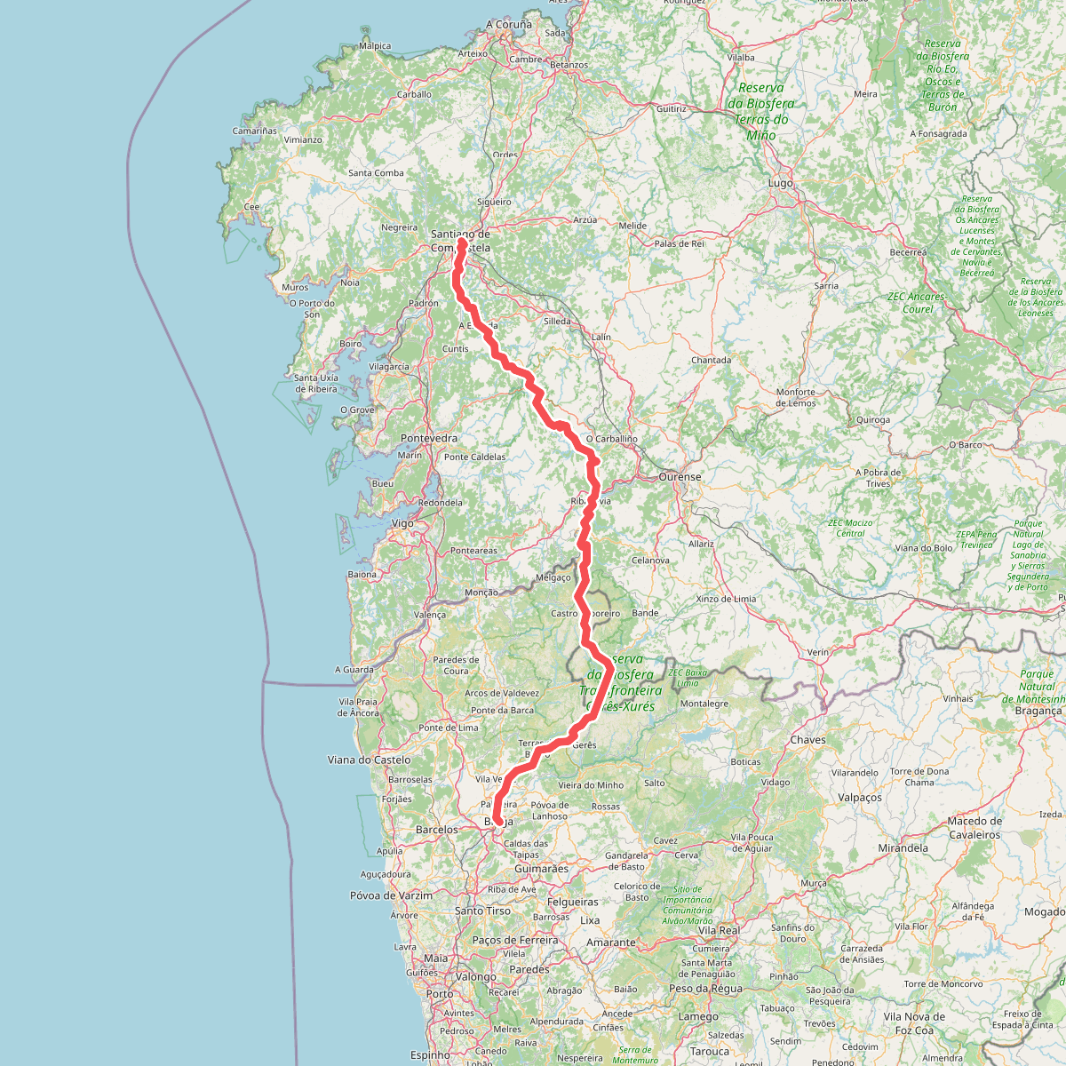
#1. Caminho da Geira e dos Arrieiros
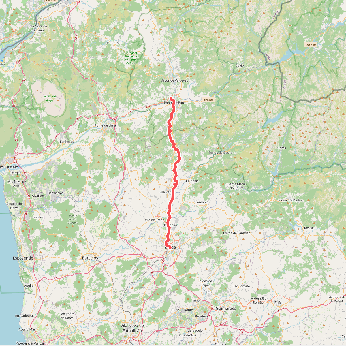
#2. Caminho Minhoto Ribeiro
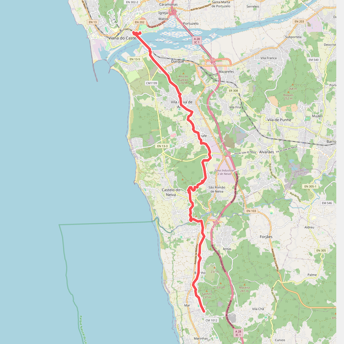
#3. Camino Marinhas - Viana do Castelo
Esposende,Viana do Castelo
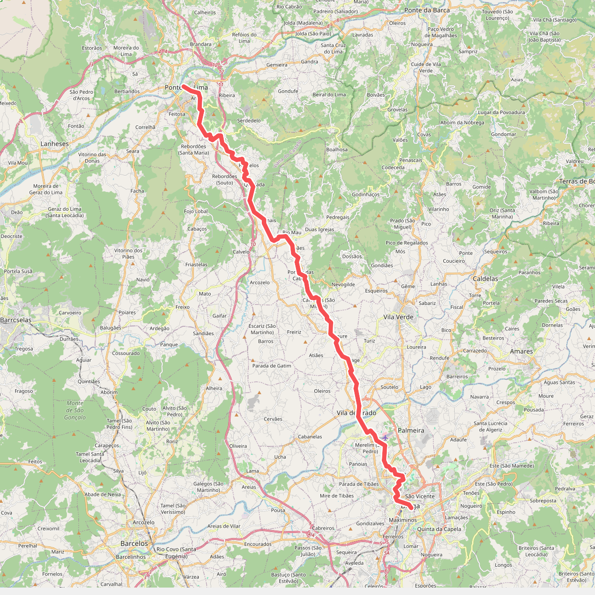
#4. Camino Torres - 03 Caminho de Santiago Braga
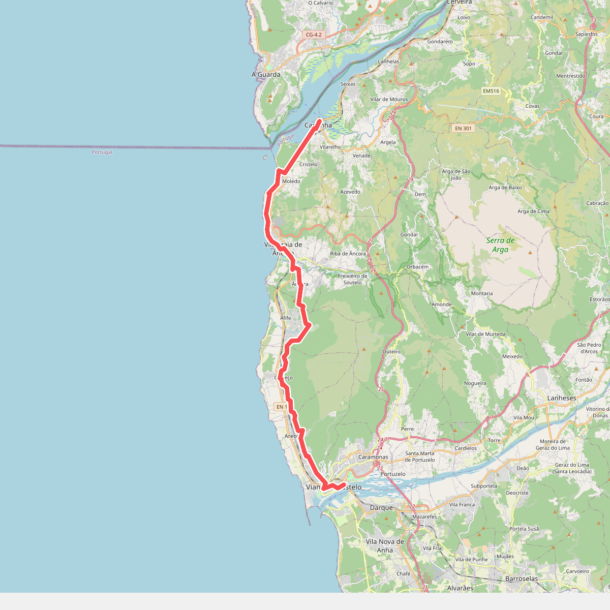
#5. Camino Viana do Castelo - Caminha
Viana do Castelo,Caminha,Vila Praia de Âncora
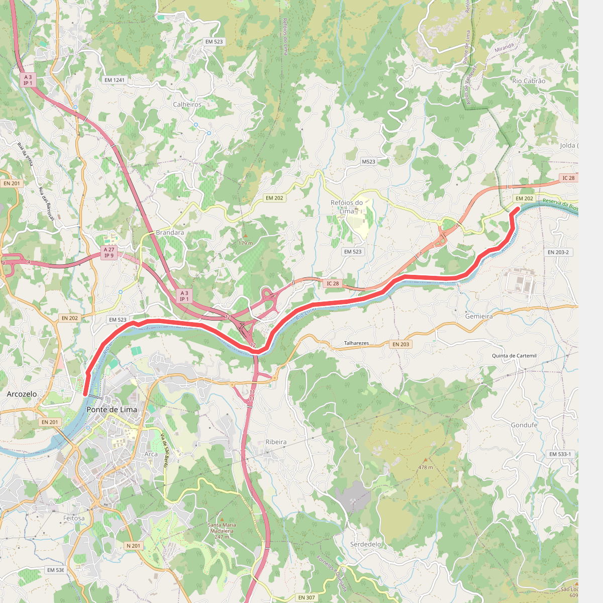
#6. Ecovia da Laranja
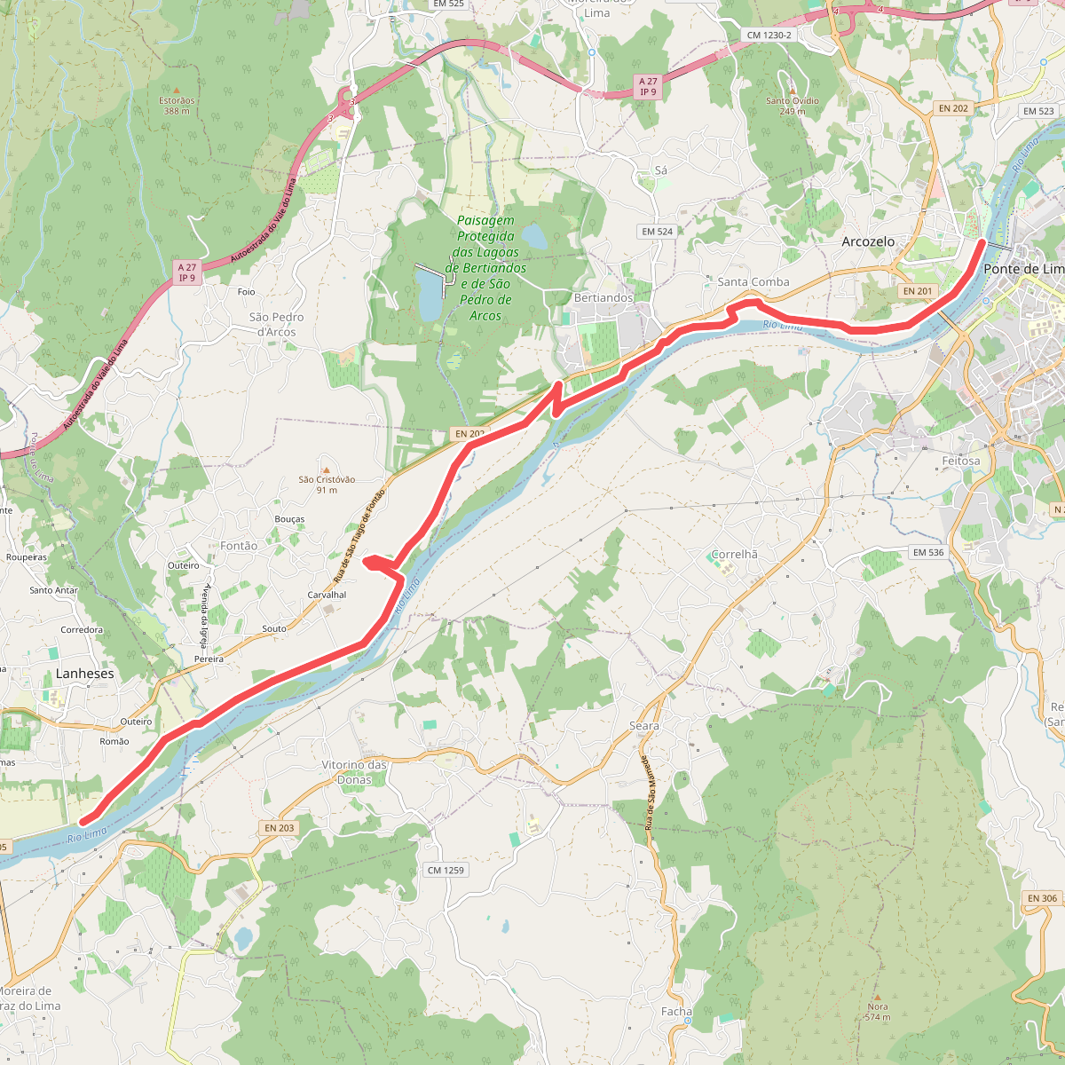
#7. Ecovia das Lagoas
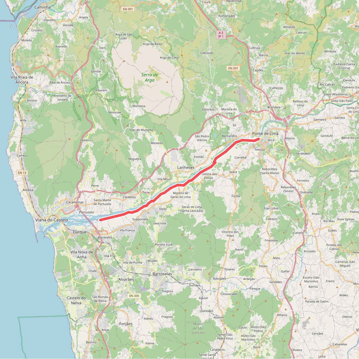
#8. Ecovia das Veigas
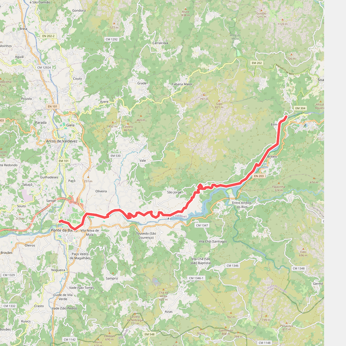
#9. Ecovia do Lima
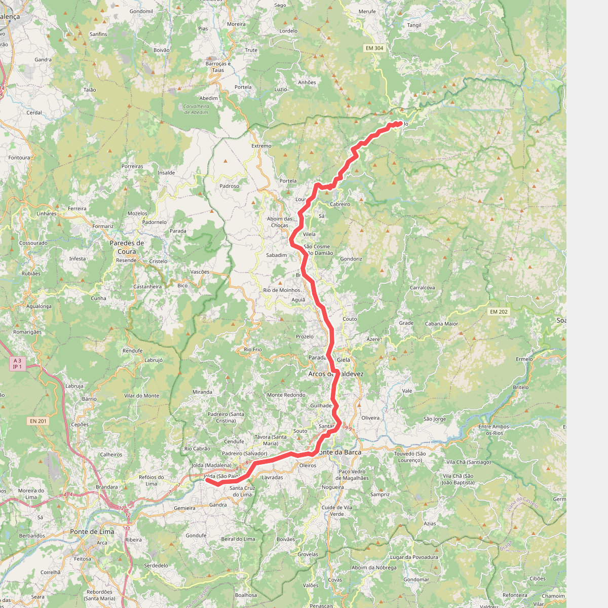
#10. Ecovia do Vez
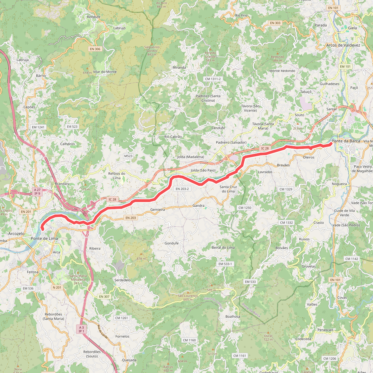
#11. Ecovia dos Açudes