The best hiking routes in Zona di Protezione Speciale Grigne
Discover the best walks in Zona di Protezione Speciale Grigne. 36 routes on the map, with descriptions, photos and GPX.
About Zona di Protezione Speciale Grigne
The Zona di Protezione Speciale Grigne covers a dramatic limestone massif rising east of Lake Como. Unlike the softer, forested hills nearby, this protected area is defined by stark, bare rock, deep karst sinkholes, and steep scree slopes. Walkers should expect a rugged mountain environment where the terrain is dominated by exposed white dolomite and limestone crags, rather than gentle woodland paths. The vegetation is adapted to these dry, rocky conditions, featuring alpine meadows that cling to the steep slopes and stunted mountain pines in the higher gullies.
Read more
About Zona di Protezione Speciale Grigne
The Zona di Protezione Speciale Grigne covers a dramatic limestone massif rising east of Lake Como. Unlike the softer, forested hills nearby, this protected area is defined by stark, bare rock, deep karst sinkholes, and steep scree slopes. Walkers should expect a rugged mountain environment where the terrain is dominated by exposed white dolomite and limestone crags, rather than gentle woodland paths. The vegetation is adapted to these dry, rocky conditions, featuring alpine meadows that cling to the steep slopes and stunted mountain pines in the higher gullies.
Read moreThe Zona di Protezione Speciale Grigne covers a dramatic limestone massif rising east of Lake Como. Unlike the softer, forested hills nearby, this protected area is defined by stark, bare rock, deep karst sinkholes, and steep scree slopes. Walkers should expect a rugged mountain environment where the terrain is dominated by exposed white dolomite and limestone crags, rather than gentle woodland paths. The vegetation is adapted to these dry, rocky conditions, featuring alpine meadows that cling to the steep slopes and stunted mountain pines in the higher gullies.
Underfoot, the trails are predominantly rough, stony tracks and loose scree that require careful footplacement. There are no flat boardwalks or soft earthen paths here; instead, you will negotiate steep ascents over bare rock steps and gravelly debris. The landscape is heavily shaped by water erosion, which has carved out vertical cliffs and underground cave systems, leaving the surface dry as water quickly drains through the porous stone.
In late June, the high alpine pastures above the tree line show a brief, intense flowering of specialized limestone flora. While the lower approaches offer some shade under beech canopy, the core of the reserve is highly exposed to the elements. The area is well-known among local mountaineers, meaning the classic ascent routes can be busy, while the demanding traverse paths across the high scree fields offer a much more solitary, austere walking experience.
Hiking routes in Zona di Protezione Speciale Grigne (36)
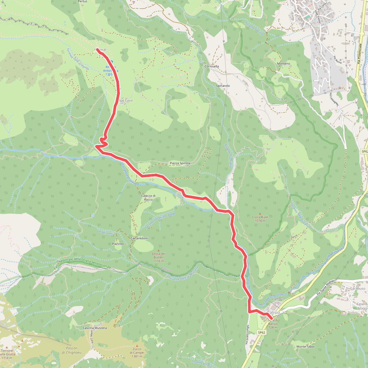
#1. Balisio - Pialeral
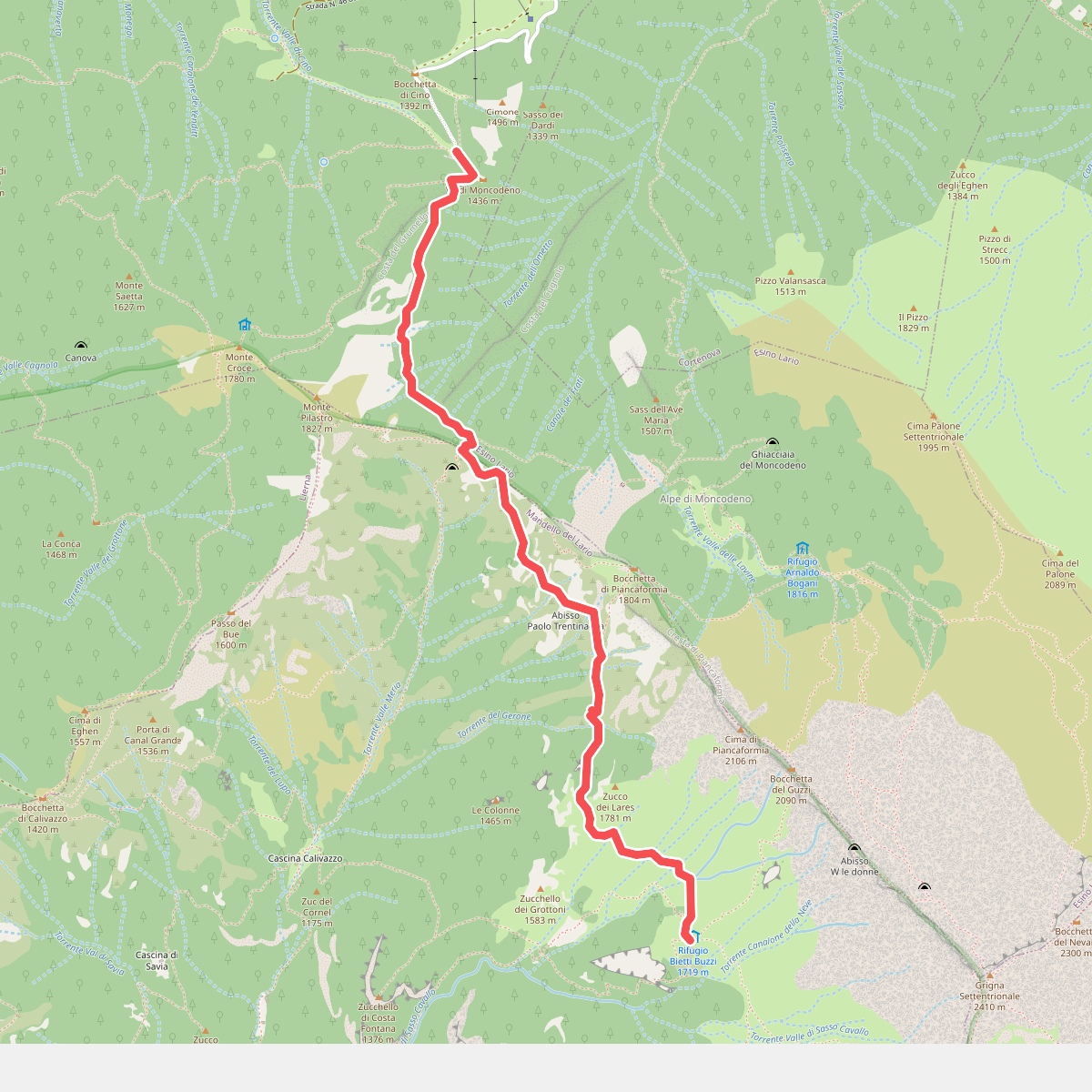
#2. Cainallo - Rifugio Bietti
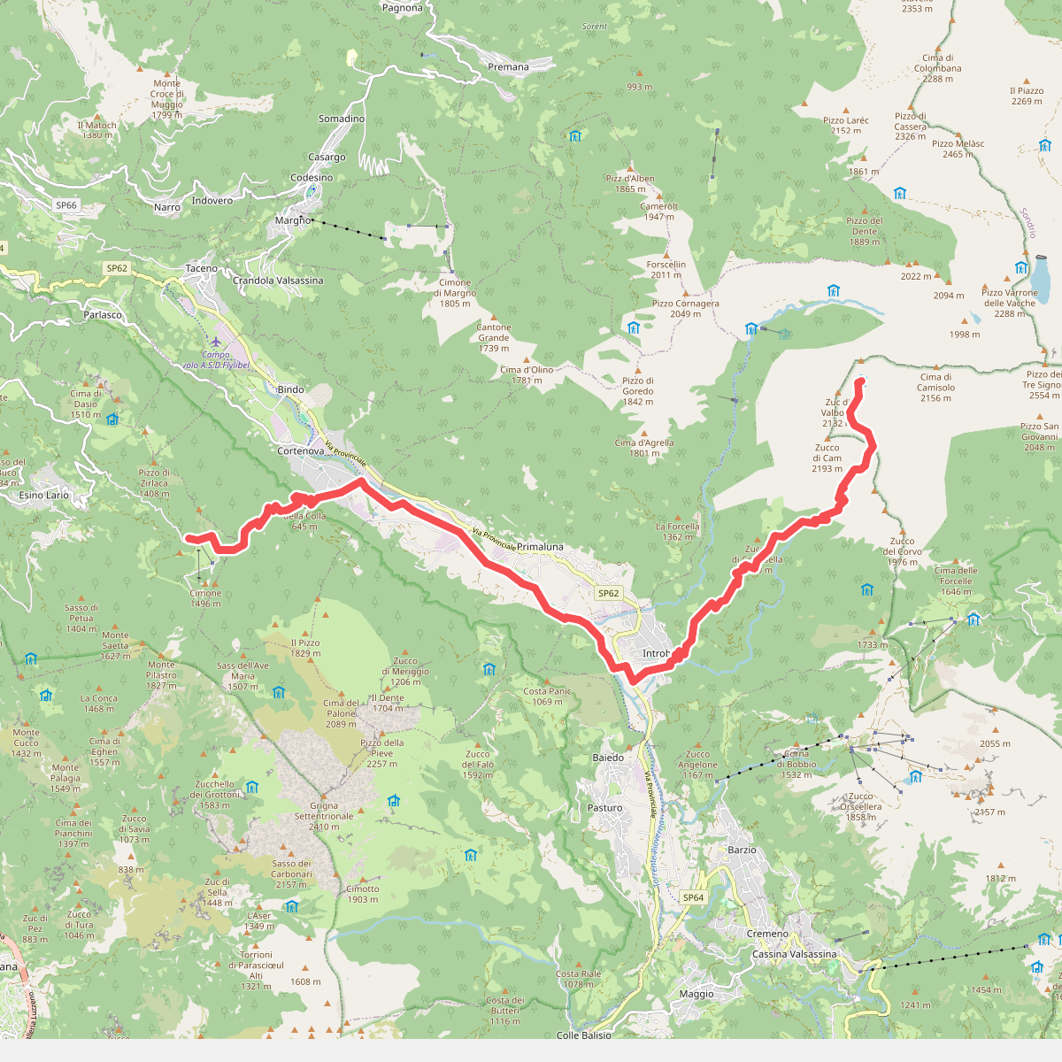
#3. CamminaForeste - Tappa 7D
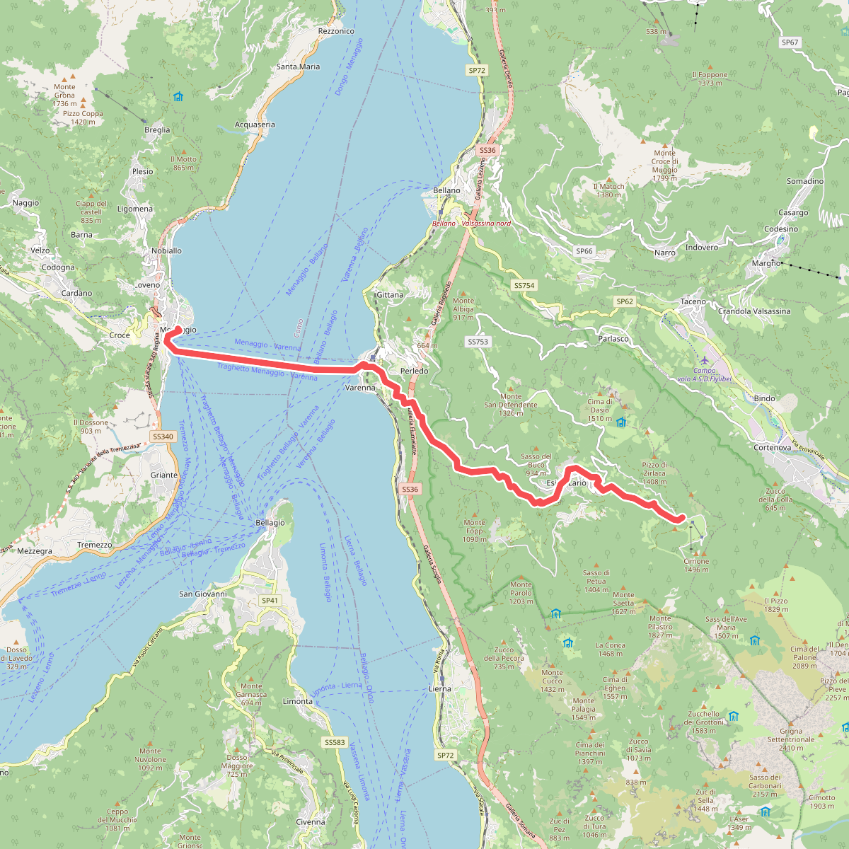
#4. CamminaForeste - Tappa 7E
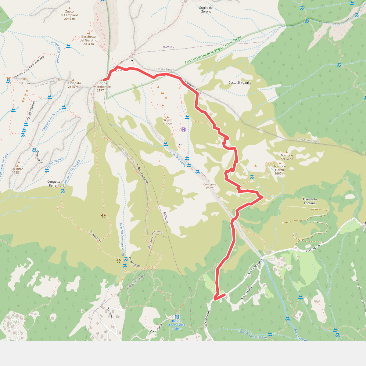
#5. Cresta Sinigaglia
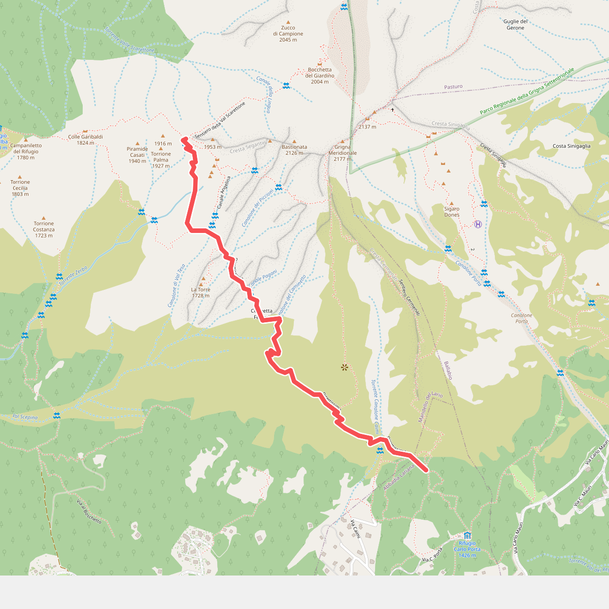
#6. Direttissima
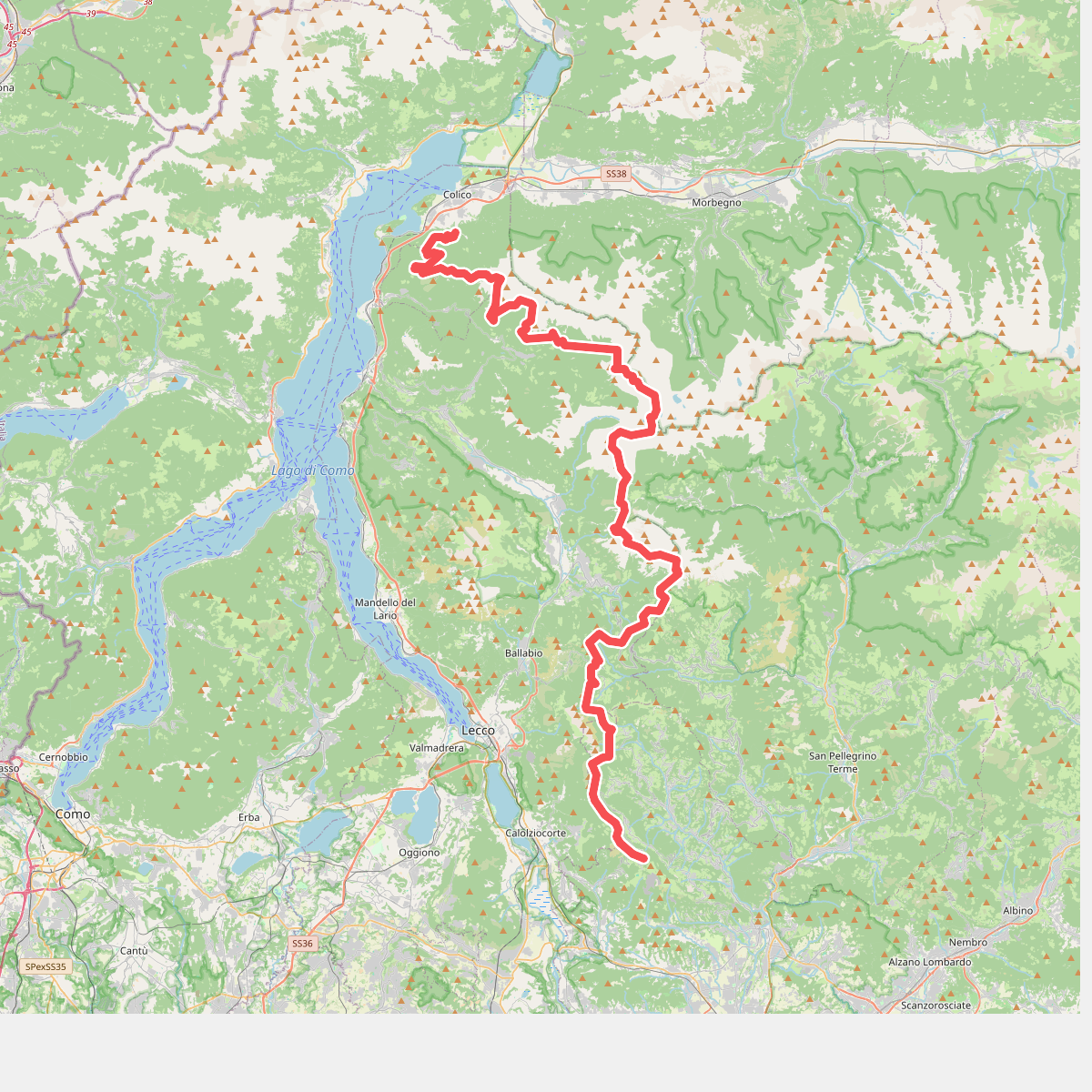
#7. Dorsale Orobica Lecchese (percorso alto)
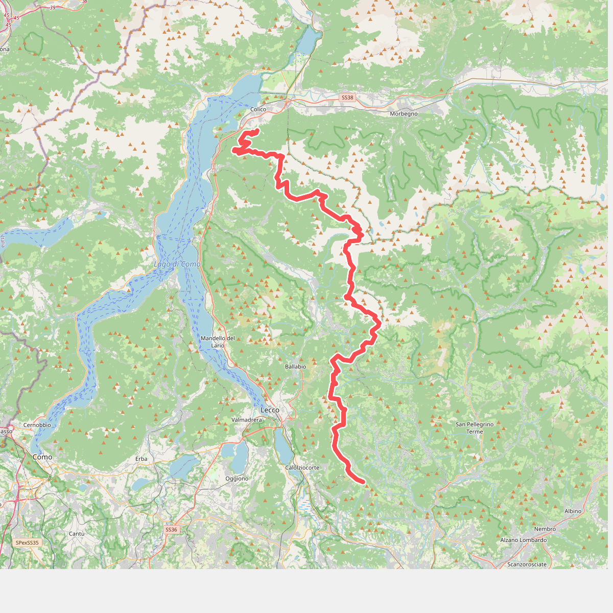
#8. Dorsale Orobica Lecchese (percorso basso)
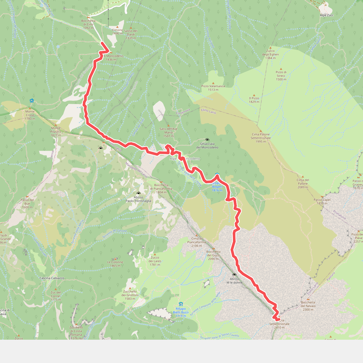
#9. Esino - Rifugio Brioschi
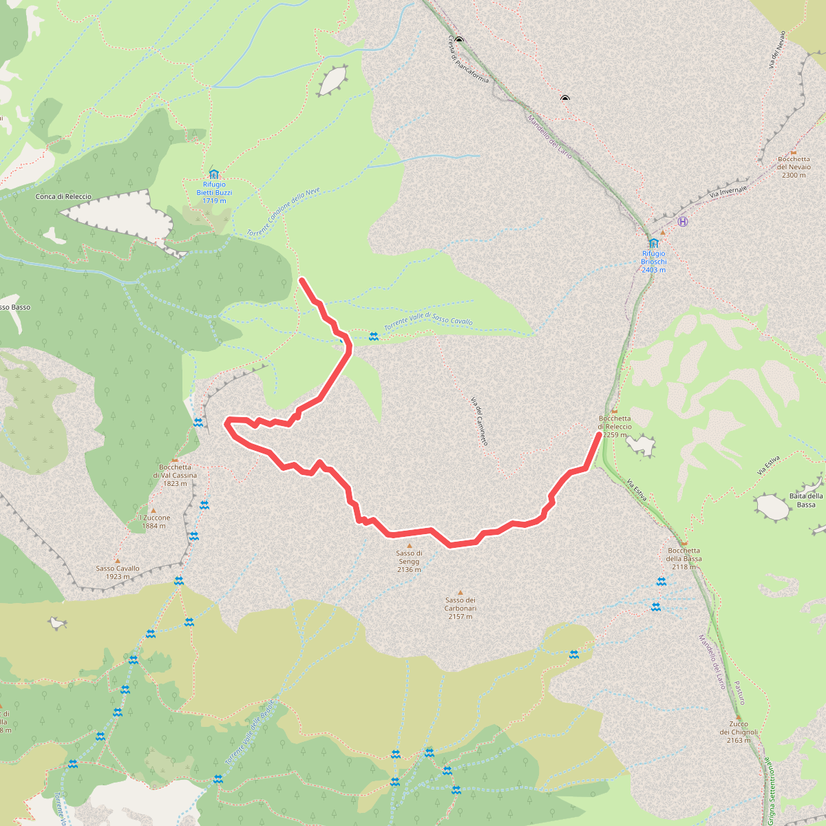
#10. Ferrata del Sasso Carbonari
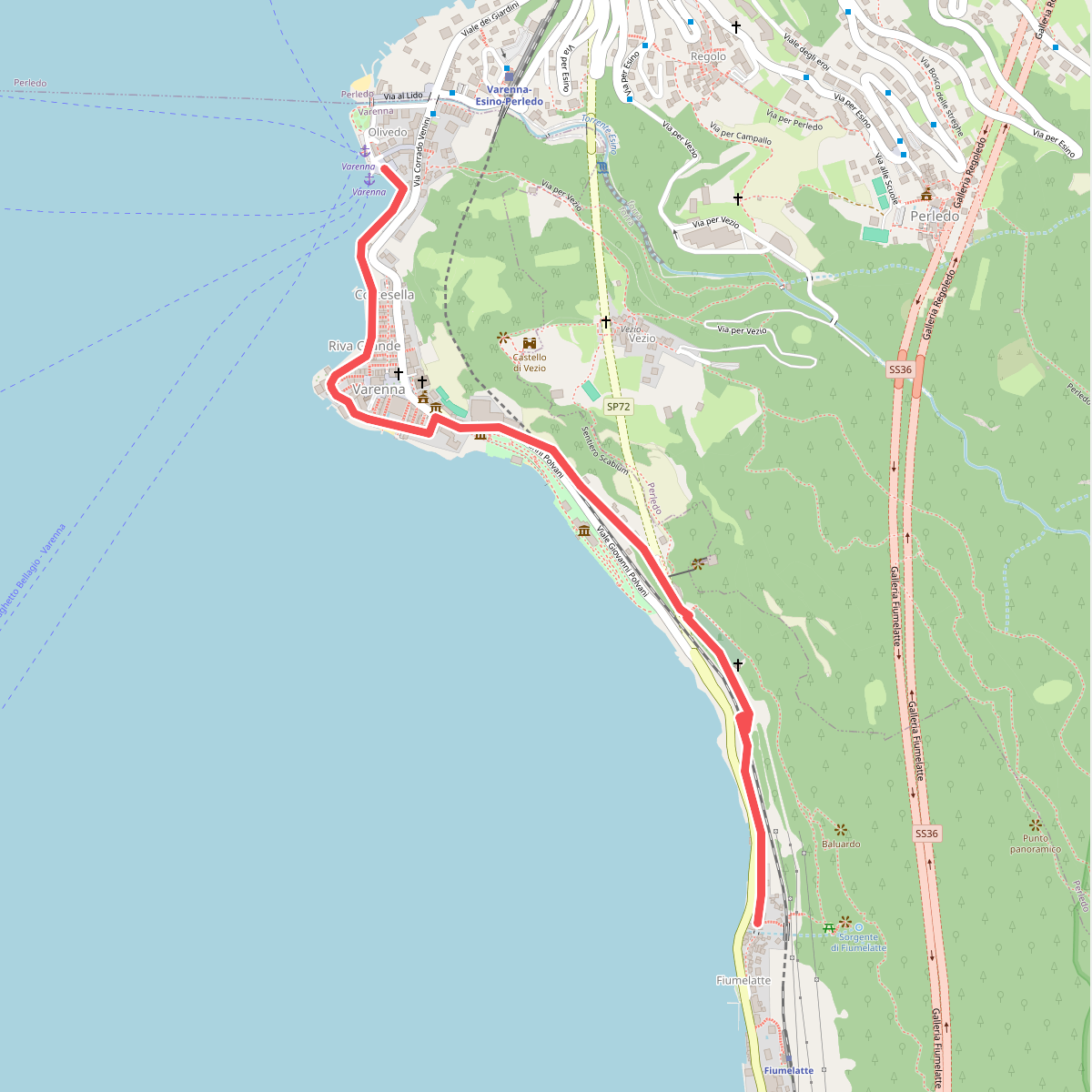
#11. Greenway Dei Patriarchi