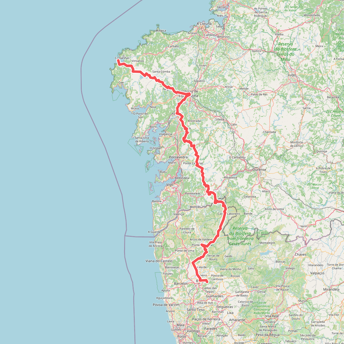
The best hiking routes in ZEPA Baixa Limia-Serra do Xurés
Discover the best walks in ZEPA Baixa Limia-Serra do Xurés. 10 routes on the map, with descriptions, photos and GPX.
Managed by Xunta de Galicia
About ZEPA Baixa Limia-Serra do Xurés
ZEPA Baixa Limia-Serra do Xurés is a rugged, granite-dominated borderland where Galicia meets northern Portugal. Unlike the lush, green valleys typical of coastal Galicia, this protected area is defined by massive, rounded granite domes, steep rocky slopes, and dry, scrubby heathland. Walkers will find a landscape shaped by erosion and traditional grazing, where sparse vegetation like gorse and heather clings to the shallow soils between exposed rock faces.
Read more
About ZEPA Baixa Limia-Serra do Xurés
ZEPA Baixa Limia-Serra do Xurés is a rugged, granite-dominated borderland where Galicia meets northern Portugal. Unlike the lush, green valleys typical of coastal Galicia, this protected area is defined by massive, rounded granite domes, steep rocky slopes, and dry, scrubby heathland. Walkers will find a landscape shaped by erosion and traditional grazing, where sparse vegetation like gorse and heather clings to the shallow soils between exposed rock faces.
Read moreZEPA Baixa Limia-Serra do Xurés is a rugged, granite-dominated borderland where Galicia meets northern Portugal. Unlike the lush, green valleys typical of coastal Galicia, this protected area is defined by massive, rounded granite domes, steep rocky slopes, and dry, scrubby heathland. Walkers will find a landscape shaped by erosion and traditional grazing, where sparse vegetation like gorse and heather clings to the shallow soils between exposed rock faces.
Underfoot, the trails are predominantly rough, stony tracks and old granite-paved paths used for centuries by shepherds. There are no wooden boardwalks or soft sandy paths here; the terrain is hard, uneven, and demanding on the ankles. As you climb, the dense oak woods of the lower valleys give way to open, high-altitude scrub where the granite formations dominate the view, showing distinct weathering patterns like basins and fractures in the bare stone.
In May, the yellow blooms of gorse transform the otherwise grey and muted green hillsides. This is a quiet, dry-stone landscape where you will not find high alpine peaks or deep, lush gorges, but rather a continuous expanse of rocky ridges and high plateaus. It is a demanding area to walk, suited for those who prefer stark geological formations and open, exposed terrain over manicured forest paths.
Hiking routes in ZEPA Baixa Limia-Serra do Xurés (10)
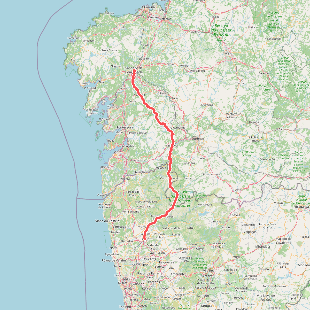
#1. Caminho da Geira e dos Arrieiros
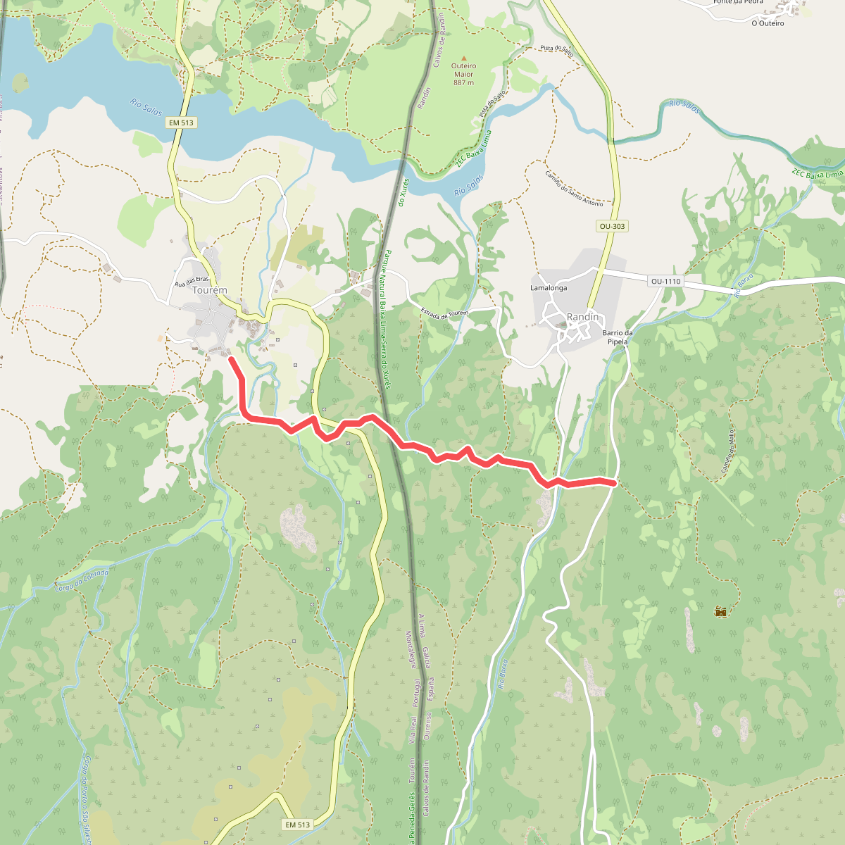
#2. Caminho privilegiado do Couto Misto
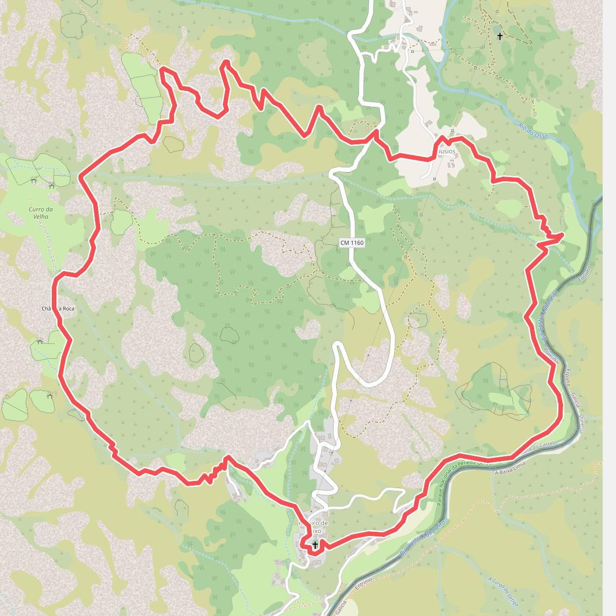
#3. Curro da Velha
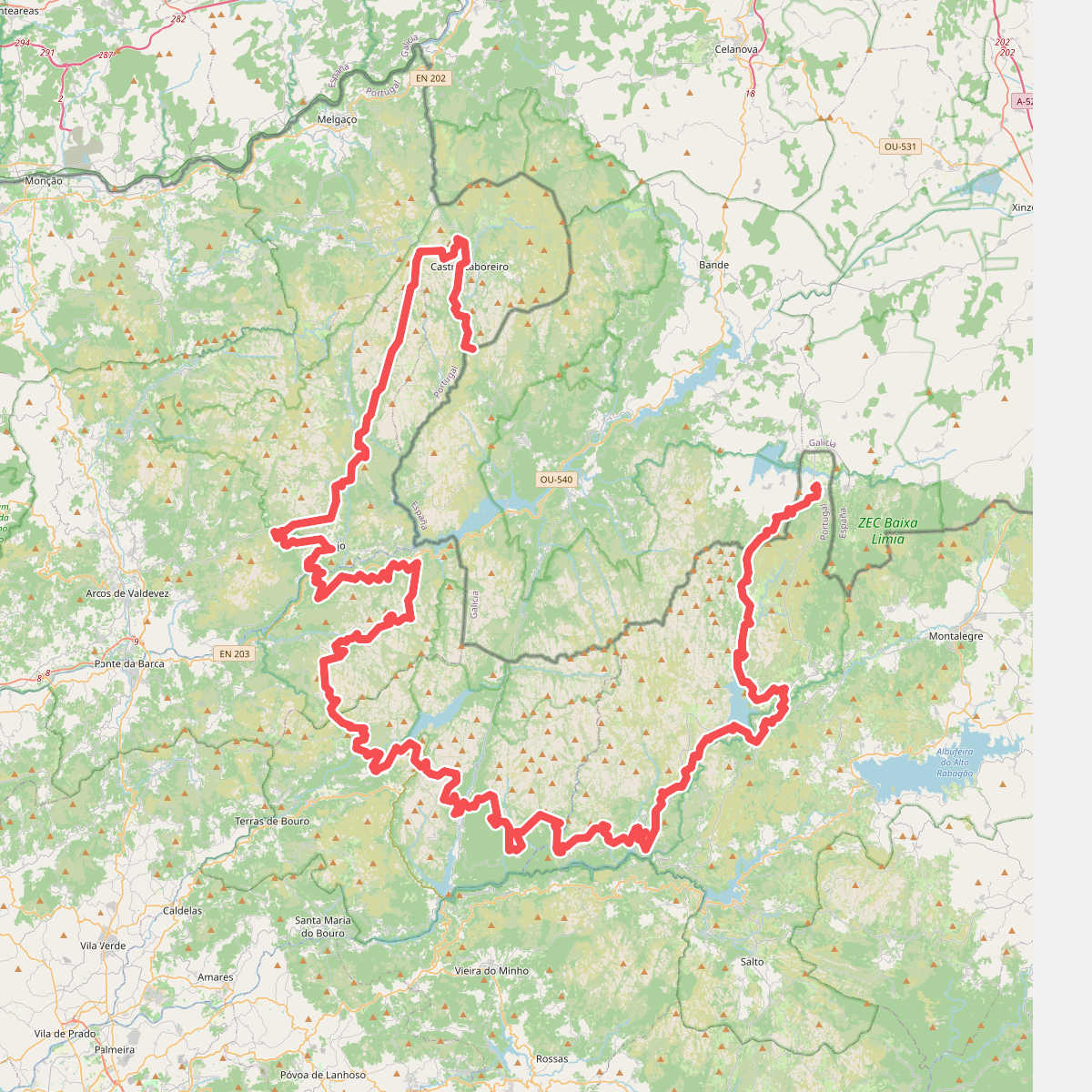
#4. Grande Rota Peneda-Gerês
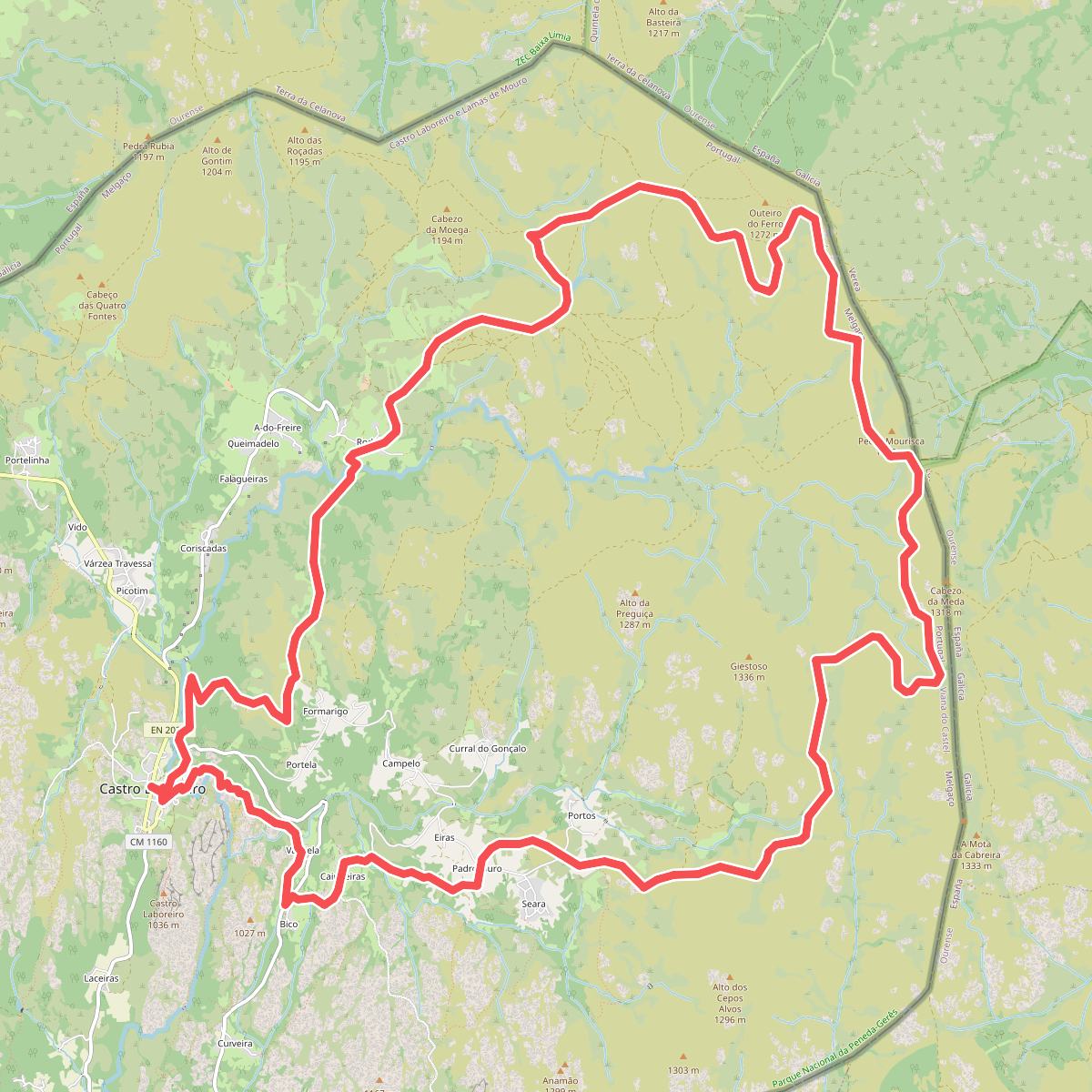
#5. Megalitismo
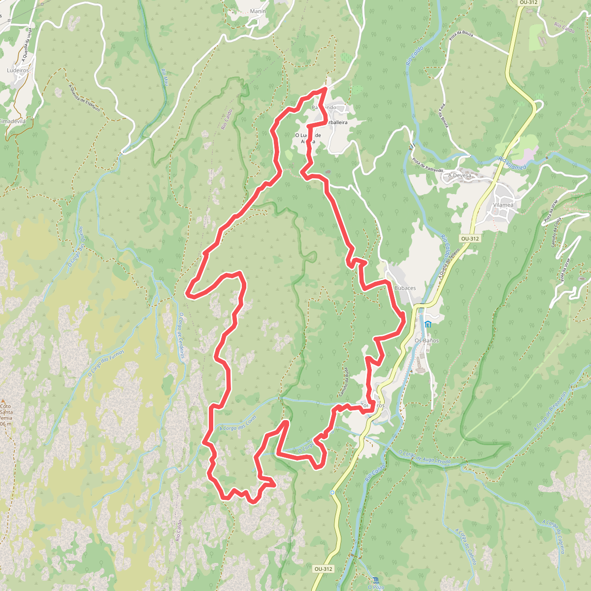
#6. PR-G 28 Ruta de Padrendo
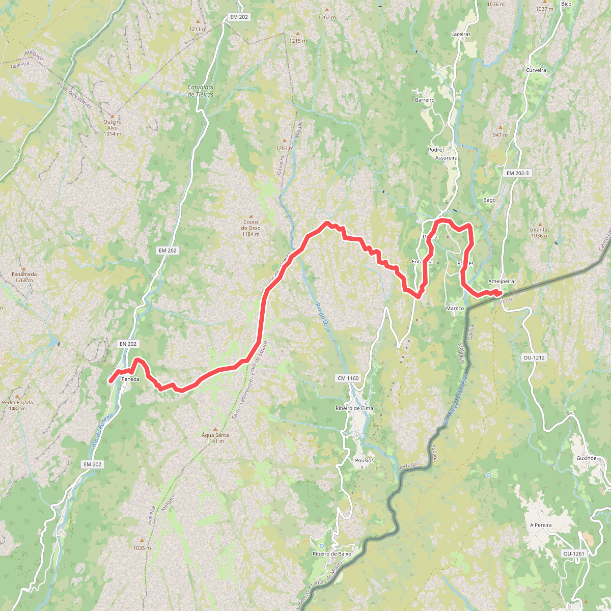
#7. Romeiros
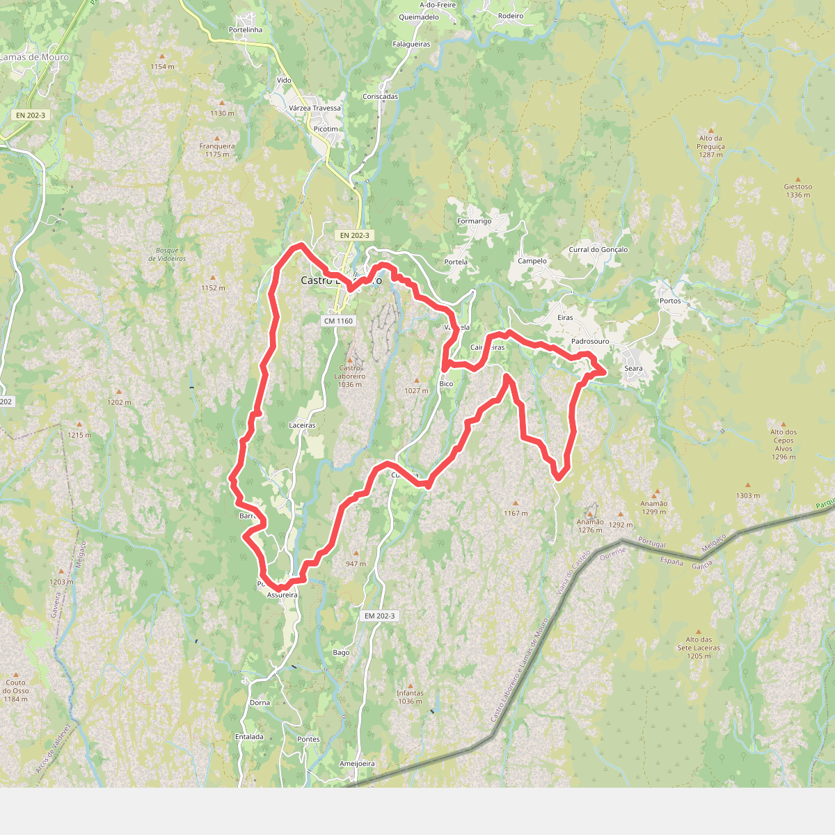
#8. Trilho Castrejo
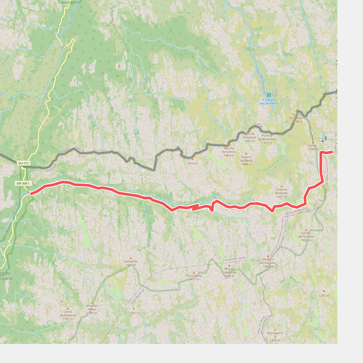
#9. Trilho das Minas dos Carris