The best hiking routes in ZEC Brañas de Xestoso
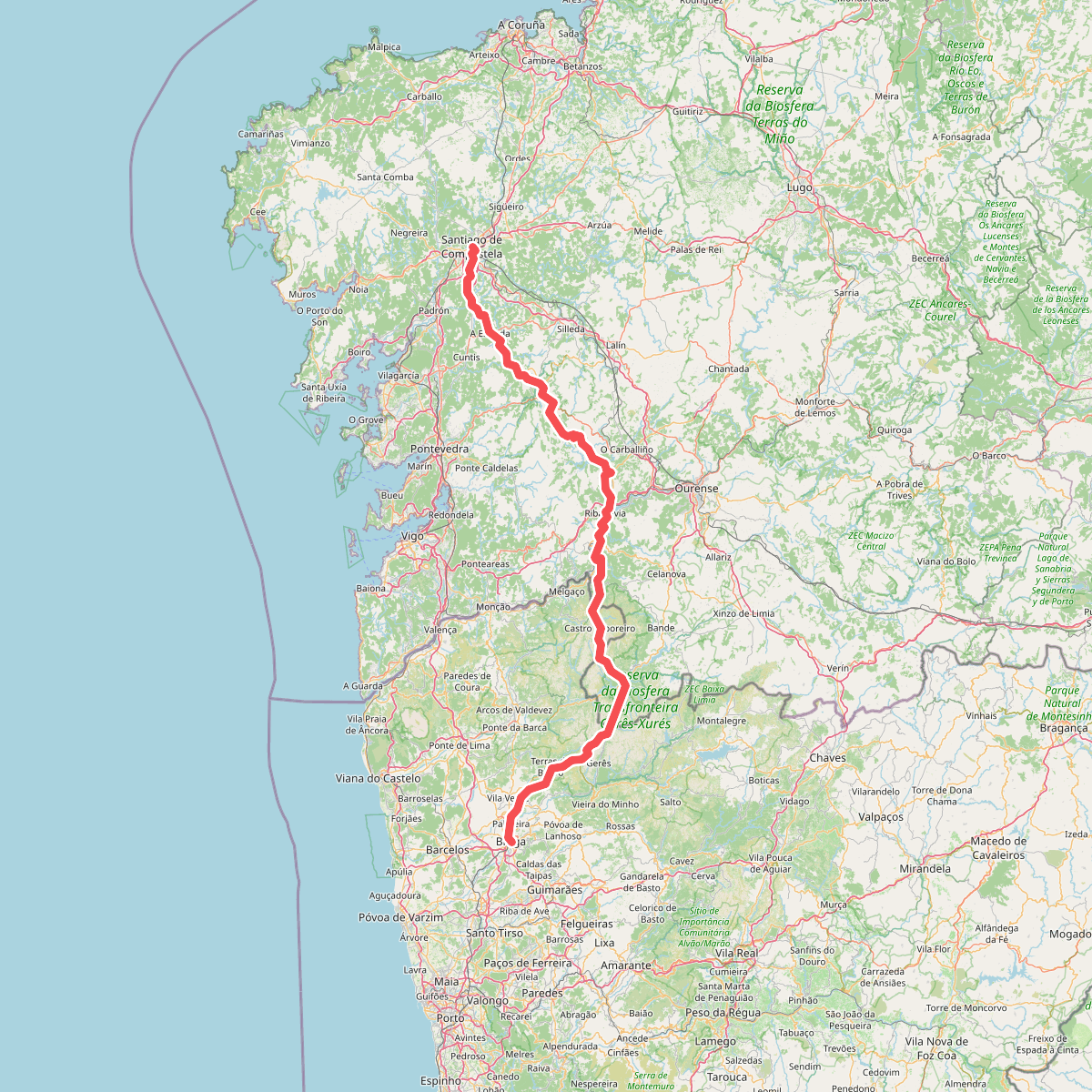
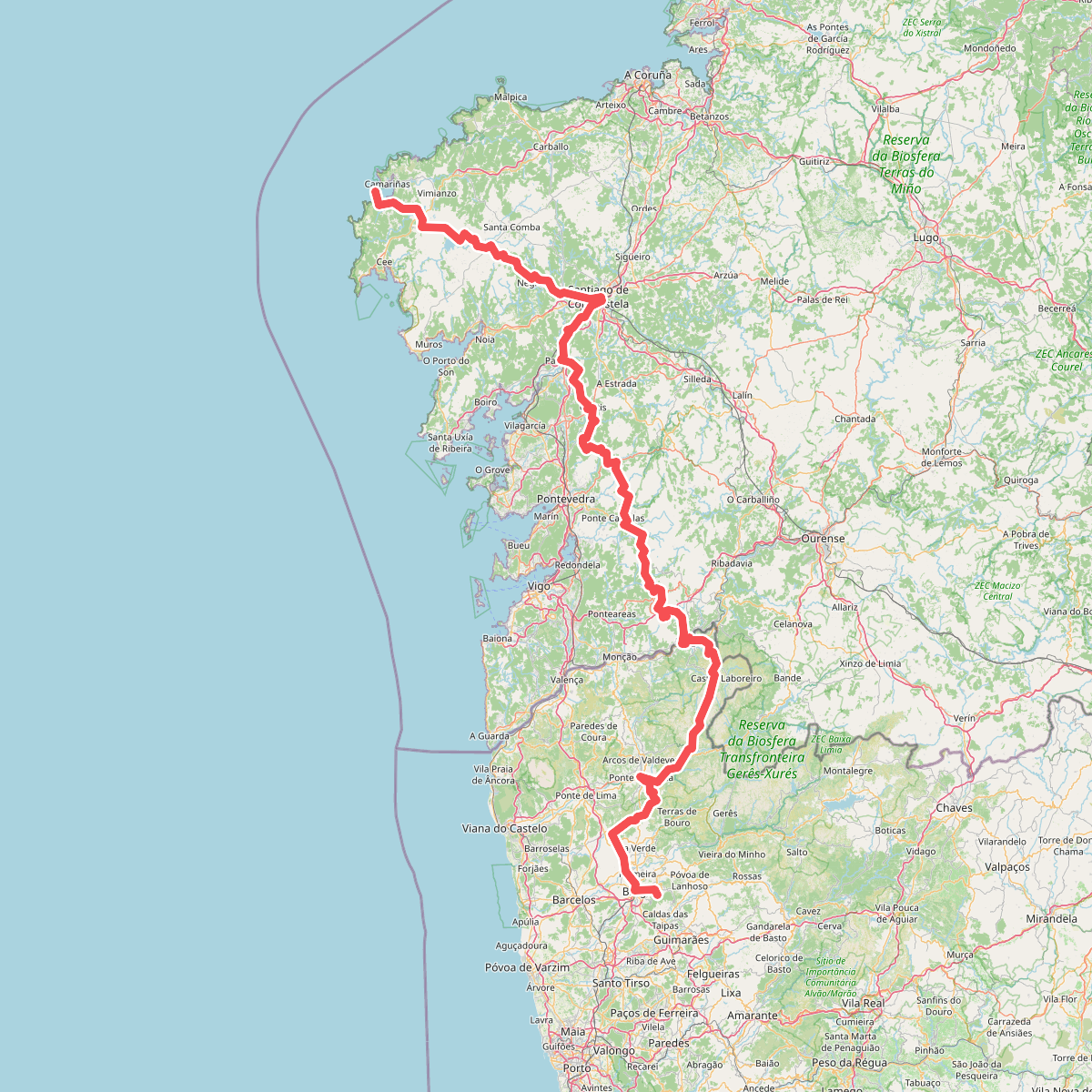
Discover the best walks in ZEC Brañas de Xestoso. 2 routes on the map, with descriptions, photos and GPX.
Managed by Xunta de Galicia
About ZEC Brañas de Xestoso
ZEC Brañas de Xestoso is a high-altitude wetland plateau in Galicia, characterized by a mosaic of peat bogs, wet heaths, and small lagoons rather than dramatic mountain peaks or deep river canyons. The landscape is gently undulating, shaped by poor drainage on a granite bedrock that keeps the ground saturated. Walkers will notice a distinct contrast between the spongy, waterlogged peat soils of the depressions and the firmer, rocky ground of the low ridges that rise between the bogs.
Read more
About ZEC Brañas de Xestoso
ZEC Brañas de Xestoso is a high-altitude wetland plateau in Galicia, characterized by a mosaic of peat bogs, wet heaths, and small lagoons rather than dramatic mountain peaks or deep river canyons. The landscape is gently undulating, shaped by poor drainage on a granite bedrock that keeps the ground saturated. Walkers will notice a distinct contrast between the spongy, waterlogged peat soils of the depressions and the firmer, rocky ground of the low ridges that rise between the bogs.
Read moreZEC Brañas de Xestoso is a high-altitude wetland plateau in Galicia, characterized by a mosaic of peat bogs, wet heaths, and small lagoons rather than dramatic mountain peaks or deep river canyons. The landscape is gently undulating, shaped by poor drainage on a granite bedrock that keeps the ground saturated. Walkers will notice a distinct contrast between the spongy, waterlogged peat soils of the depressions and the firmer, rocky ground of the low ridges that rise between the bogs.
Navigating this nature reserve requires attention to the ground, as there are no constructed boardwalks. Instead, walking here relies on rough, unpaved tracks and livestock paths that cut through the gorse and heather. In the wetter sections, the terrain consists of deep moss beds and rushes, which require careful stepping to avoid sinking into the mire. The vegetation is low-growing and wind-sheared, dominated by carnivorous plants, sedges, and endemic bog species that thrive in the acidic, nutrient-poor water.
In late spring, particularly around May, the landscape undergoes a visible change as the cotton grass flowers, turning portions of the dark bogs white. This is a quiet, working pastoral landscape where you are more likely to encounter free-roaming cattle and wild horses than crowds of hikers. It is a place for those who appreciate subtle, boggy upland ecosystems and are prepared for rough, wet underfoot conditions without marked tourist infrastructure.