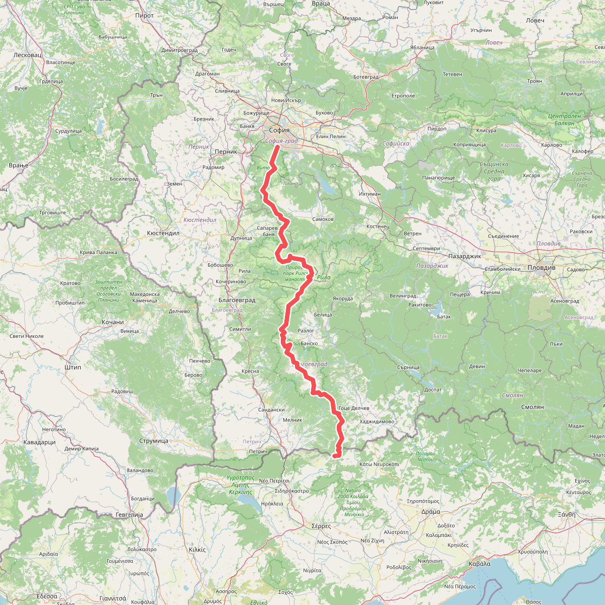
The best hiking routes in Υγρότοπος Λίμνης Κερκίνης
Discover the best walks in Υγρότοπος Λίμνης Κερκίνης. 1 routes on the map, with descriptions, photos and GPX.
About Υγρότοπος Λίμνης Κερκίνης
Υγρότοπος Λίμνης Κερκίνης is a vast artificial reservoir defined by its flat, silt-heavy lakebed, seasonal mudflats, and dense riparian forests of willow and alder. The landscape is shaped by the seasonal rise and fall of the water level, which is managed for agricultural irrigation. When walking here, you will notice a stark contrast between the wide, open dikes that offer elevated views over the water and the enclosed, shaded dirt tracks that wind through the flooded forests near the river mouths.
Read more
About Υγρότοπος Λίμνης Κερκίνης
Υγρότοπος Λίμνης Κερκίνης is a vast artificial reservoir defined by its flat, silt-heavy lakebed, seasonal mudflats, and dense riparian forests of willow and alder. The landscape is shaped by the seasonal rise and fall of the water level, which is managed for agricultural irrigation. When walking here, you will notice a stark contrast between the wide, open dikes that offer elevated views over the water and the enclosed, shaded dirt tracks that wind through the flooded forests near the river mouths.
Read moreΥγρότοπος Λίμνης Κερκίνης is a vast artificial reservoir defined by its flat, silt-heavy lakebed, seasonal mudflats, and dense riparian forests of willow and alder. The landscape is shaped by the seasonal rise and fall of the water level, which is managed for agricultural irrigation. When walking here, you will notice a stark contrast between the wide, open dikes that offer elevated views over the water and the enclosed, shaded dirt tracks that wind through the flooded forests near the river mouths.
Underfoot, the terrain consists mostly of hard-packed dirt tracks, gravel embankments, and soft, silty clay closer to the water's edge. There are no boardwalks or paved hiking networks, so walkers must rely on agricultural tracks and dike roads. The western and eastern shores offer very different experiences; the eastern side is dominated by the wide delta of the Strymonas River with its shifting sandbars, while the northern section features dense woodlands backed by the steep slopes of the Belles mountain range.
This is a low-lying wetland area rather than a mountain park, meaning walks are entirely flat with no elevation gain or rocky scrambles. The landscape changes dramatically between May, when the reservoir is kept full and the forests are partially submerged, and September, when the receding waters expose vast mudflats. While the main harbors and birdwatching dikes near Lithotopos can attract groups of visitors, the long dirt tracks along the northern embankments remain quiet and agricultural.