The best hiking routes in Wzgórza Niemczańskie
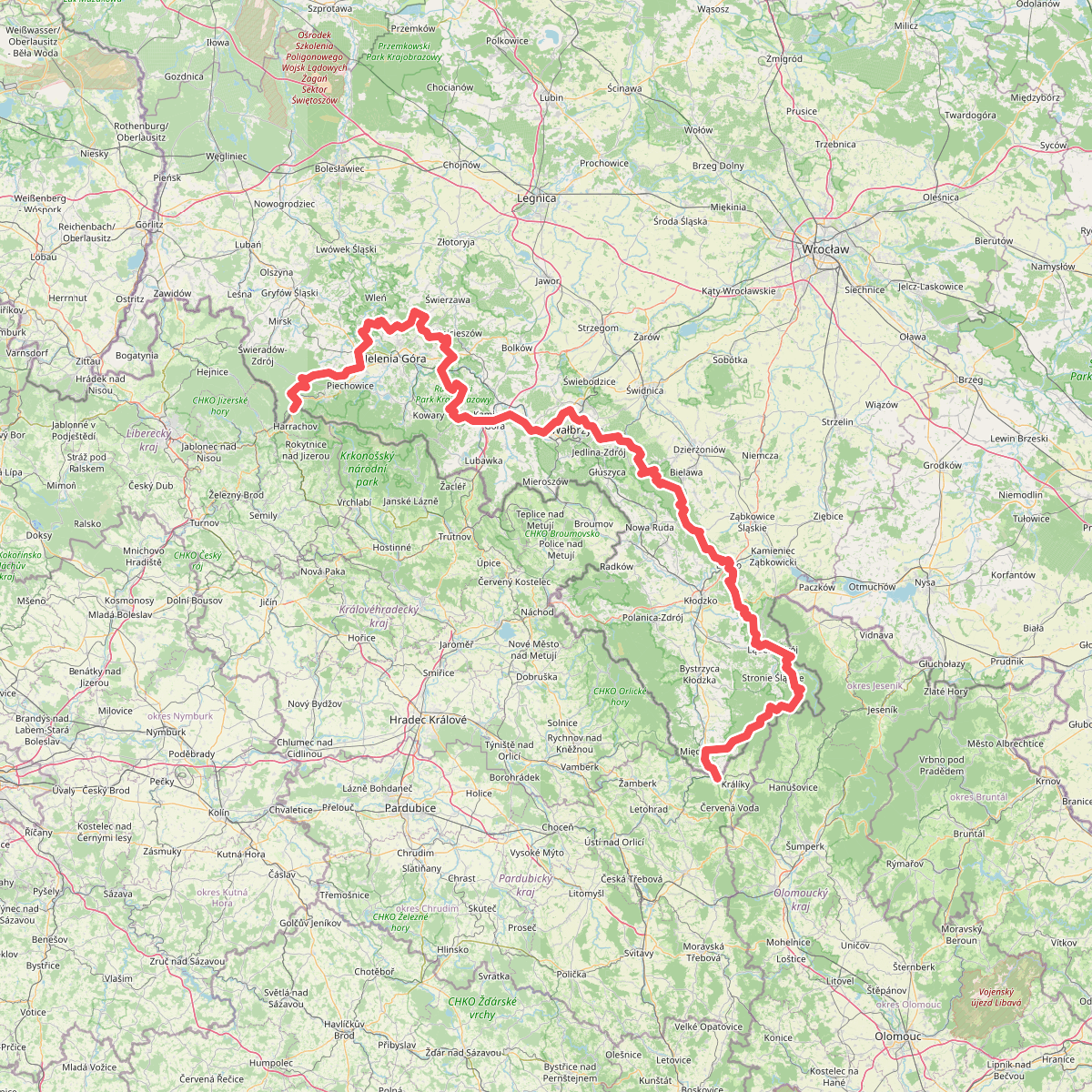
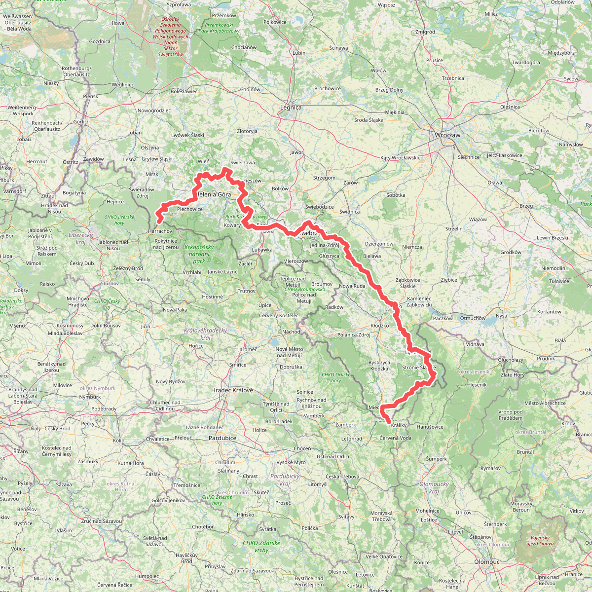
Discover the best walks in Wzgórza Niemczańskie. 2 routes on the map, with descriptions, photos and GPX.
About Wzgórza Niemczańskie
The Wzgórza Niemczańskie offer a landscape of gently rolling loess hills and agricultural plateaus rather than dramatic mountain peaks. Walkers accustomed to the nearby rugged Sudeten ranges will find a softer terrain here, characterized by wide agricultural fields, deep-cut loess ravines, and small, isolated oak-hornbeam woodlands. The elevation changes are moderate but constant, requiring steady uphill and downhill walking along dirt tracks and field margins.
Read more
About Wzgórza Niemczańskie
The Wzgórza Niemczańskie offer a landscape of gently rolling loess hills and agricultural plateaus rather than dramatic mountain peaks. Walkers accustomed to the nearby rugged Sudeten ranges will find a softer terrain here, characterized by wide agricultural fields, deep-cut loess ravines, and small, isolated oak-hornbeam woodlands. The elevation changes are moderate but constant, requiring steady uphill and downhill walking along dirt tracks and field margins.
Read moreThe Wzgórza Niemczańskie offer a landscape of gently rolling loess hills and agricultural plateaus rather than dramatic mountain peaks. Walkers accustomed to the nearby rugged Sudeten ranges will find a softer terrain here, characterized by wide agricultural fields, deep-cut loess ravines, and small, isolated oak-hornbeam woodlands. The elevation changes are moderate but constant, requiring steady uphill and downhill walking along dirt tracks and field margins.
Underfoot, the experience is defined by the heavy loess soil. The paths are predominantly unpaved agricultural tracks and forest trails that turn into thick, sticky mud after wet weather, while drying into hard, cracked clay during dry summer spells. You will not find boardwalks or sandy heathlands here; instead, the routes follow the natural contours of the hills, occasionally dropping into shaded ravines where the microclimate is noticeably cooler and damper than on the open ridges.
In May, the landscape is marked by bright yellow rapeseed fields contrasting with the dark green patches of remnant forests. This area is less frequented by mass tourism than the higher peaks to the south, making it a suitable choice for those who prefer quiet, self-guided navigation through a working agricultural countryside interspersed with small rural villages.