

The best hiking routes in Vall di Vizze - Vall di Vizze
Discover the best walks in Vall di Vizze - Vall di Vizze. 19 routes on the map, with descriptions, photos and GPX.
About Vall di Vizze - Vall di Vizze
Vall di Vizze - Vall di Vizze is a long, straight valley that cuts deep into the high granite and gneiss formations of the Zillertal Alps. Unlike the wider, more developed valleys nearby, this area is characterized by its steep, forested flanks that quickly give way to sheer rock faces and extensive gravel beds shaped by the Rio Vizze. Walkers will notice a distinct transition as they move up the valley, starting with flat, green meadow pastures on the valley floor and ending in a stark, high-altitude amphitheater of stone and glacial moraine.
Read more
About Vall di Vizze - Vall di Vizze
Vall di Vizze - Vall di Vizze is a long, straight valley that cuts deep into the high granite and gneiss formations of the Zillertal Alps. Unlike the wider, more developed valleys nearby, this area is characterized by its steep, forested flanks that quickly give way to sheer rock faces and extensive gravel beds shaped by the Rio Vizze. Walkers will notice a distinct transition as they move up the valley, starting with flat, green meadow pastures on the valley floor and ending in a stark, high-altitude amphitheater of stone and glacial moraine.
Read moreVall di Vizze - Vall di Vizze is a long, straight valley that cuts deep into the high granite and gneiss formations of the Zillertal Alps. Unlike the wider, more developed valleys nearby, this area is characterized by its steep, forested flanks that quickly give way to sheer rock faces and extensive gravel beds shaped by the Rio Vizze. Walkers will notice a distinct transition as they move up the valley, starting with flat, green meadow pastures on the valley floor and ending in a stark, high-altitude amphitheater of stone and glacial moraine.
The paths here are mostly gravel tracks and stony mountain trails. Underfoot, the terrain demands attention, particularly on the higher sections where loose scree, boulders, and stream crossings are common. The valley floor offers gentler, wider dirt roads suitable for those looking to avoid steep climbs, though these tracks are shared with agricultural vehicles accessing the mountain pastures.
In July and August, the melting snow feeds numerous waterfalls that cascade down the rock walls, a prominent feature visible from almost any point on the trail. The upper reaches of the valley remain austere and rocky, offering a direct encounter with high-altitude alpine terrain without the transition of rolling foothills. It is a landscape defined by rock, water, and larch forests, where the focus is on the scale of the valley walls rather than gentle woodland walks.
Hiking routes in Vall di Vizze - Vall di Vizze (19)
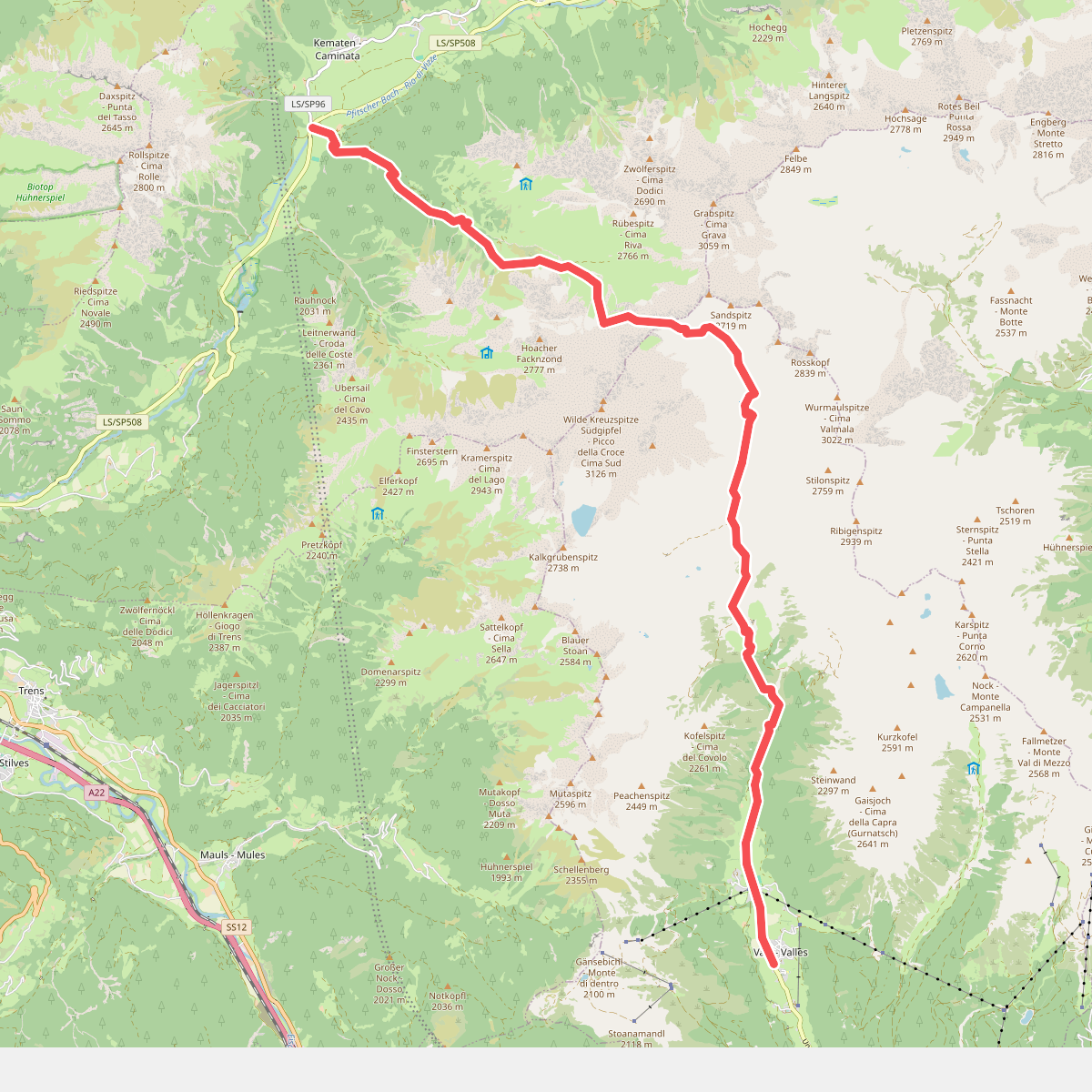
#1. 17 - Vals => Fußendraß
Mühlbach - Rio di Pusteria,Pfitsch - Val di Vizze
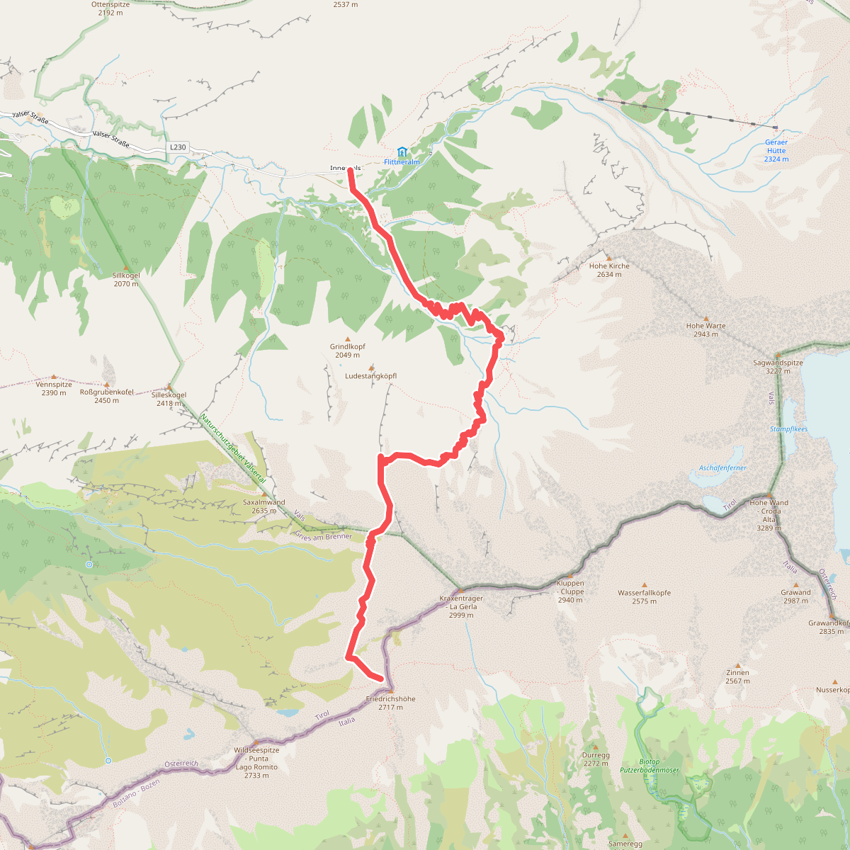
#2. AV Weg 529
Gries am Brenner,Vals
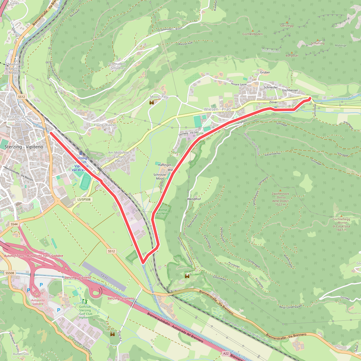
#3. Bachdammweg
Pfitsch - Val di Vizze
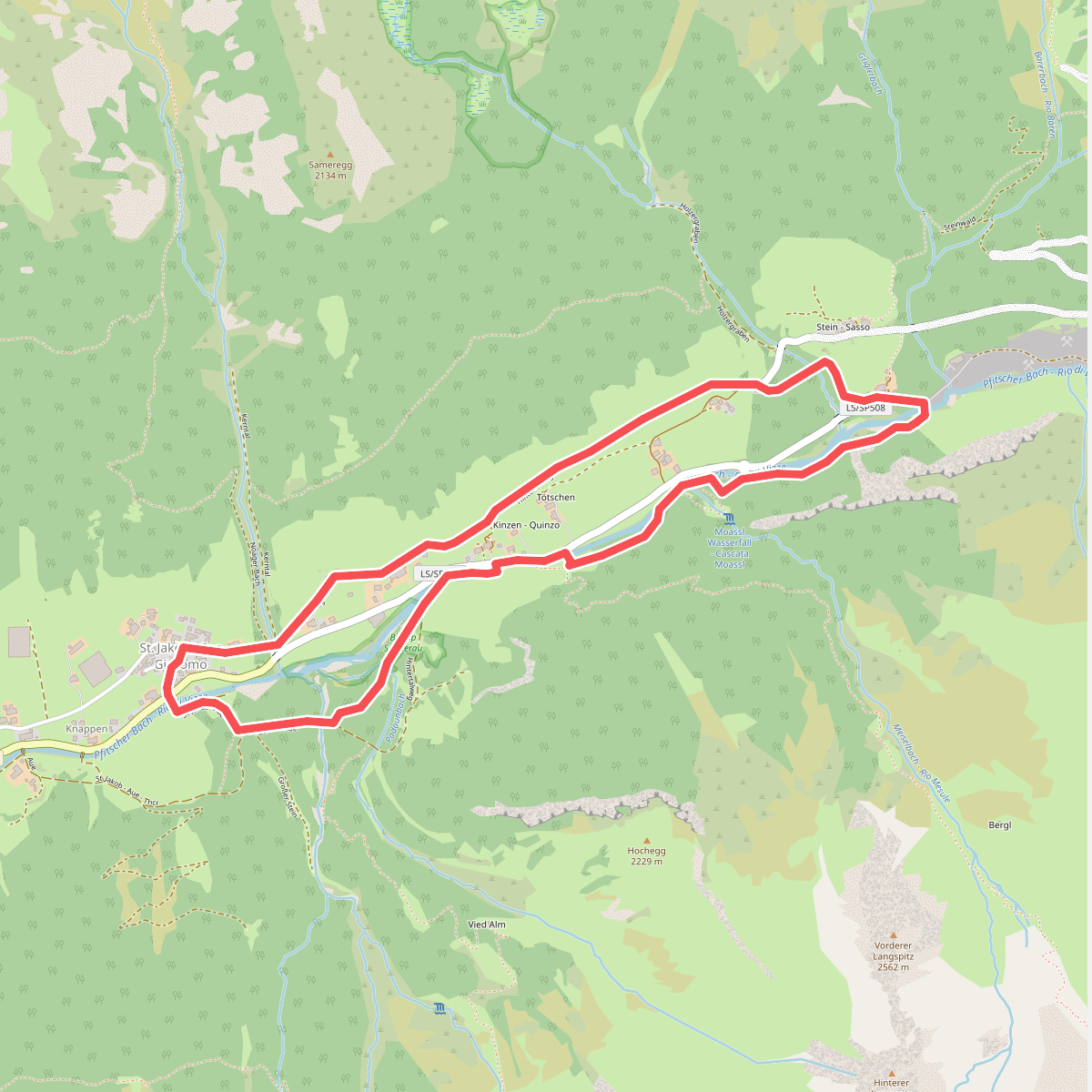
#4. Hintertalweg
Pfitsch - Val di Vizze
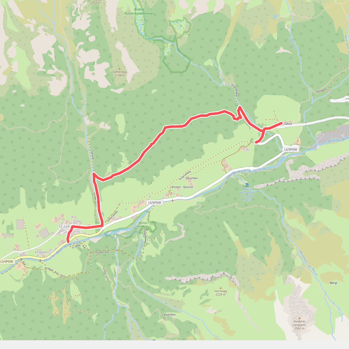
#5. Lärchensteig
Pfitsch - Val di Vizze
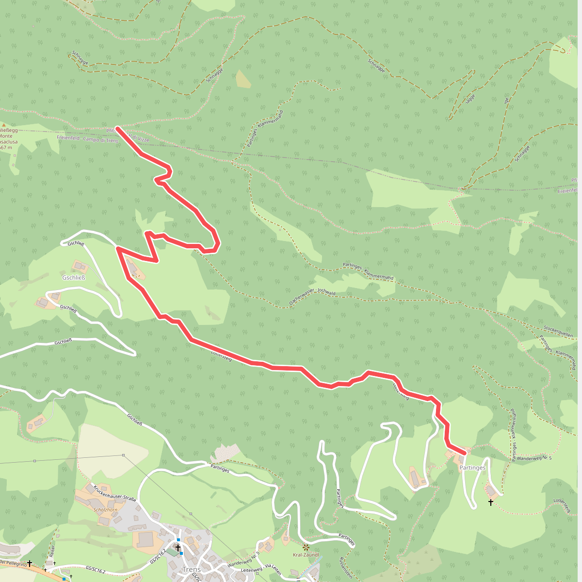
#6. Lottersteig
Pfitsch - Val di Vizze,Freienfeld - Campo di Trens
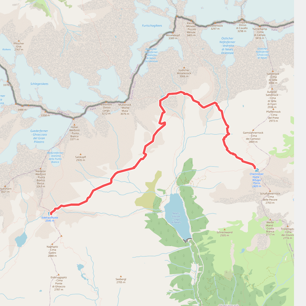
#7. Neveser Höhenweg - Alta Via di Neves
Mühlwald - Selva dei Molini
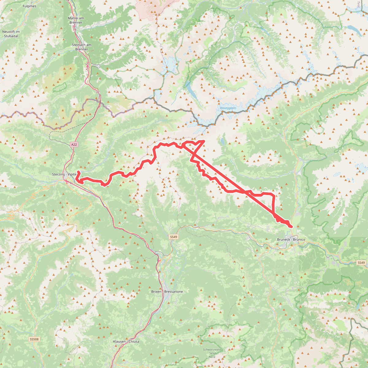
#8. Pfunderer Höhenweg - Alta Via di Fundres
Pfitsch - Val di Vizze,Freienfeld - Campo di Trens,Mühlbach - Rio di Pusteria,Vintl - Vandoies,Mühlwald - Selva dei Molini,Terenten - Terento,Kiens - Chienes,Pfalzen - Falzes,Bruneck - Brunico
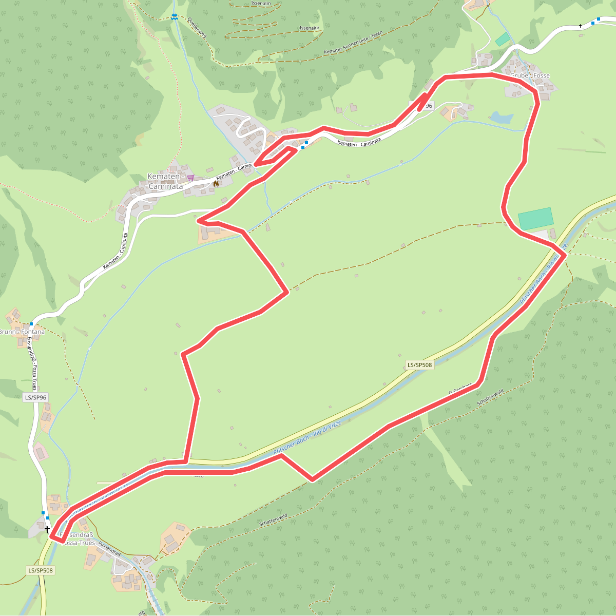
#9. Rundweg Kematen
Pfitsch - Val di Vizze
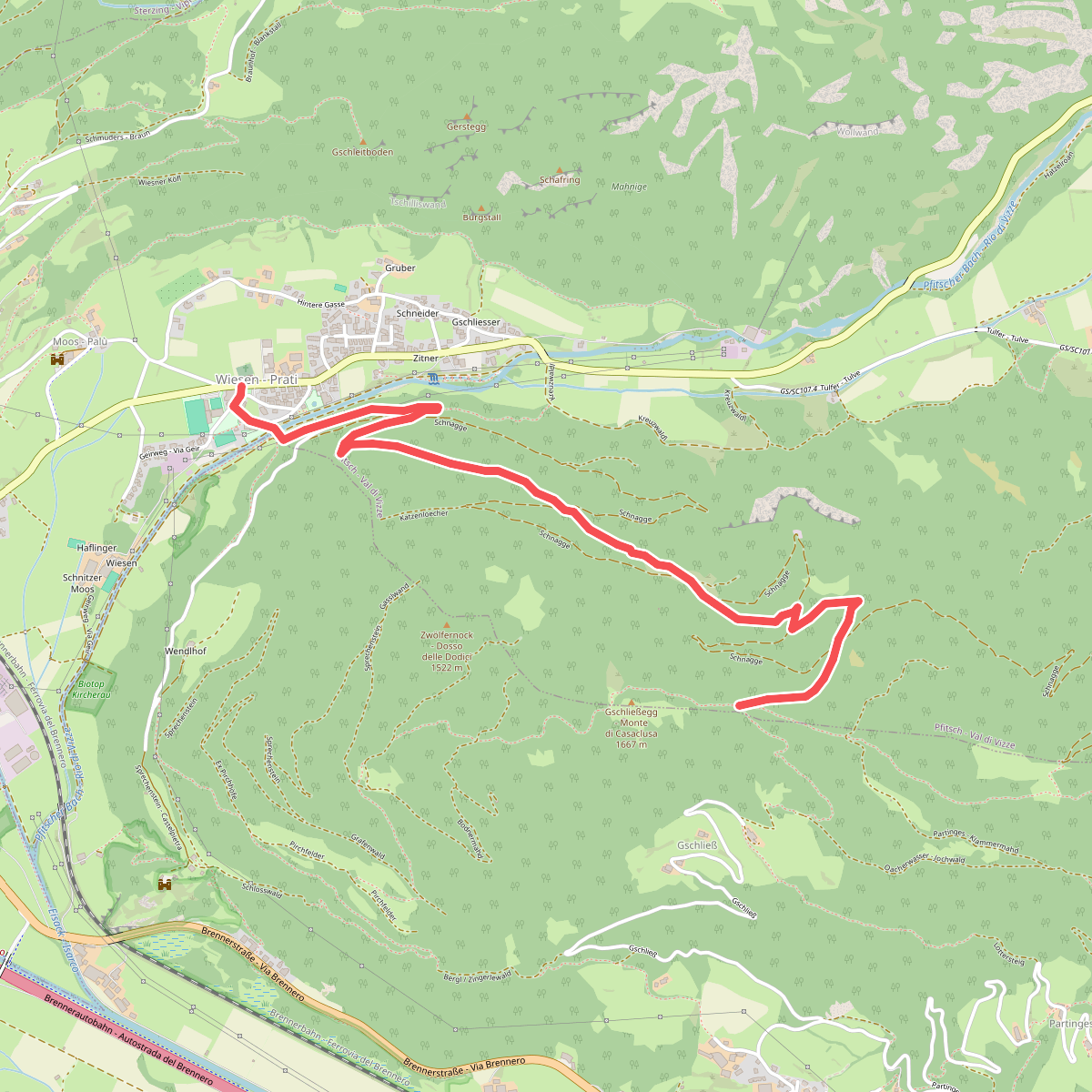
#10. Schnaggenweg
Pfitsch - Val di Vizze
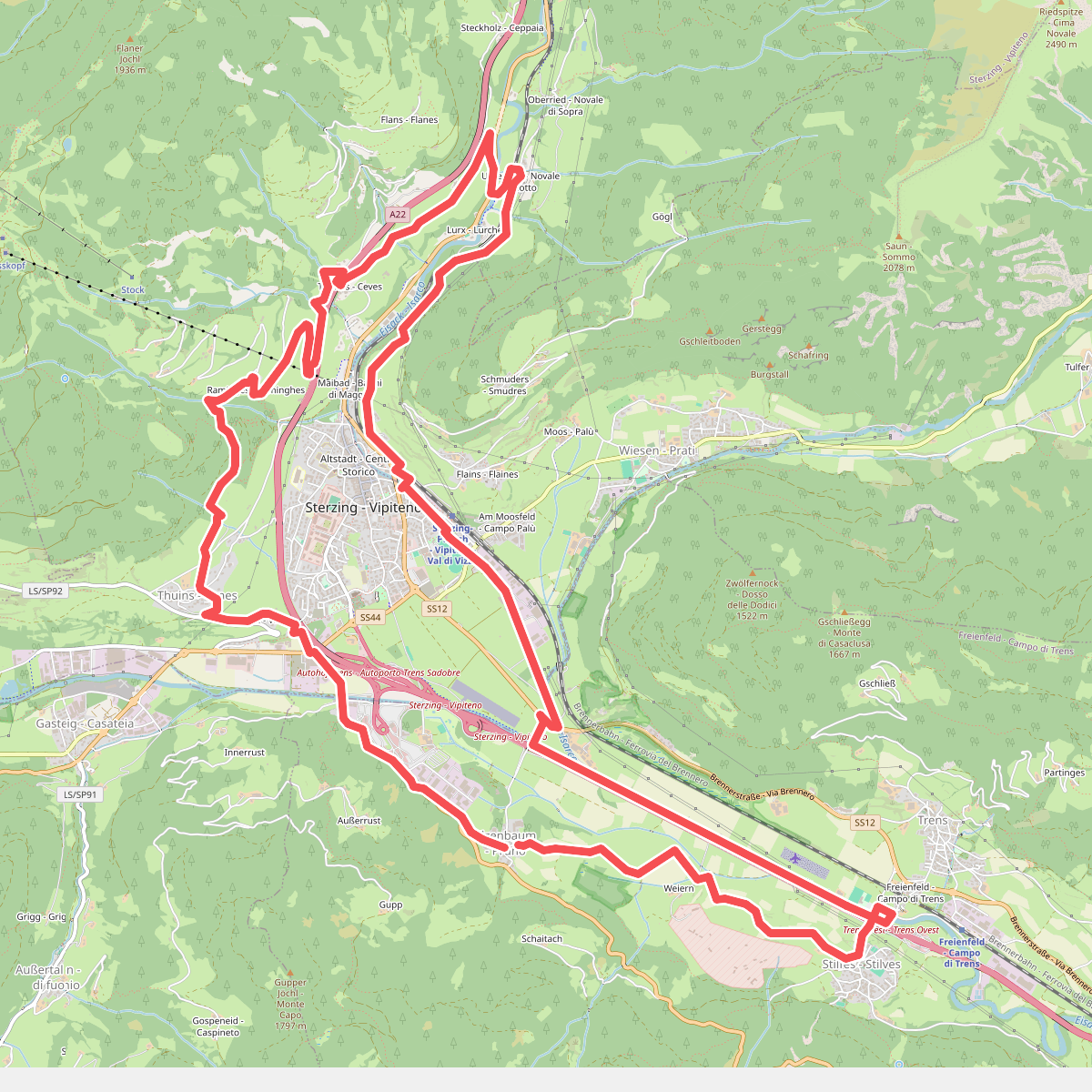
#11. Sterzinger Rundweg
Freienfeld - Campo di Trens,Sterzing - Vipiteno,Pfitsch - Val di Vizze
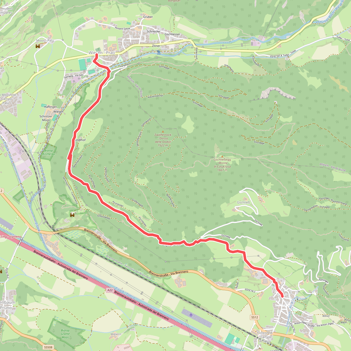
#12. Trenser Höhenweg
Pfitsch - Val di Vizze,Freienfeld - Campo di Trens



