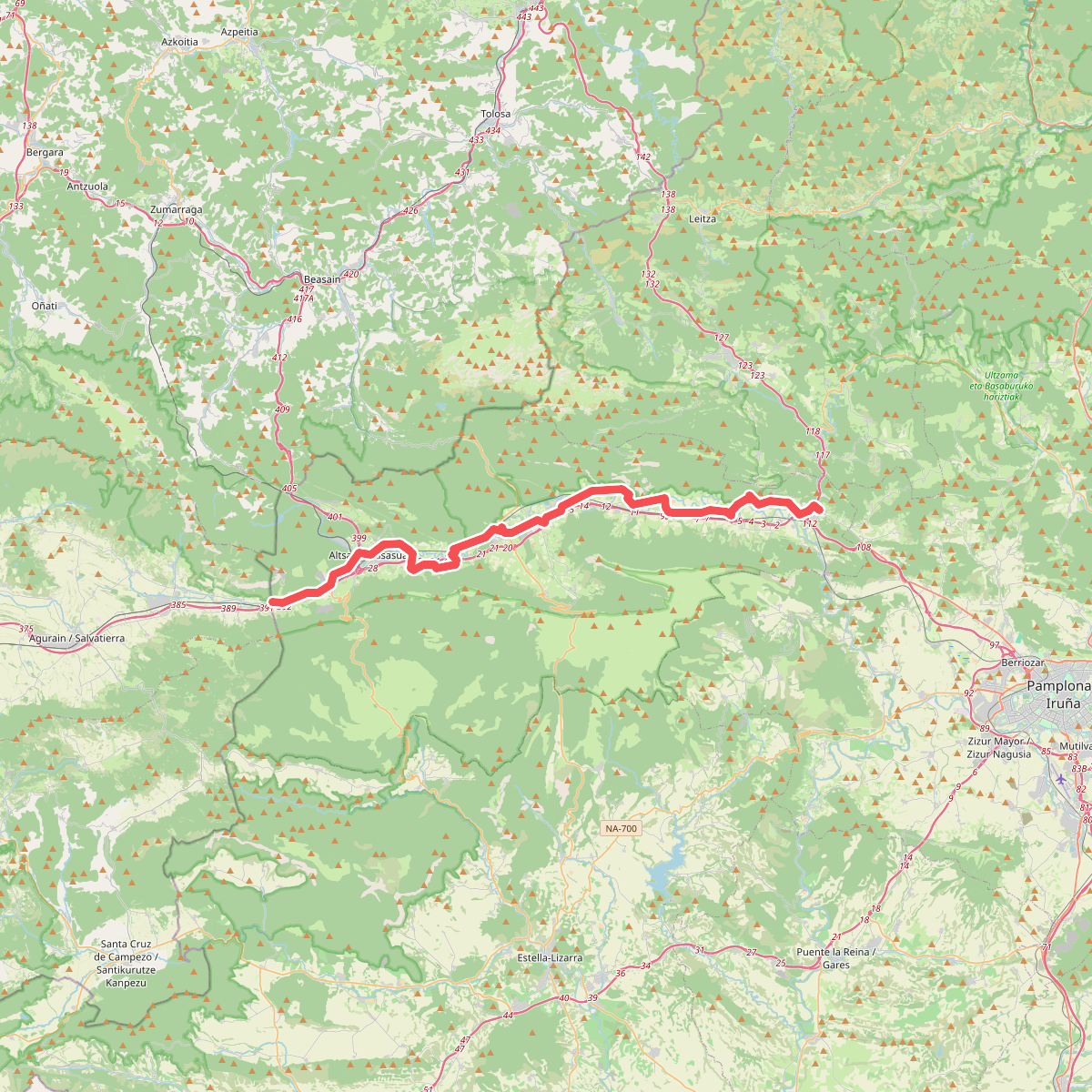
The best hiking routes in Urbasa-Andia parke naturala
Discover the best walks in Urbasa-Andia parke naturala. 13 routes on the map, with descriptions, photos and GPX.
About Urbasa-Andia parke naturala
Urbasa-Andia parke naturala is a vast limestone plateau in northern Spain, characterized by a sharp contrast between dense beech forests and wide, rocky pastures. Unlike the jagged peaks of the nearby Pyrenees, this park is defined by its flat-topped, rolling highlands that drop off into dramatic cliffs. Underfoot, the terrain alternates between soft leaf litter under the canopy and rough, stony paths across the open meadows where sheep and horses graze freely. The limestone geology means surface water is rare; rain quickly disappears into sinkholes and caves, leaving the high ground dry while feeding spectacular springs at the park edges.
Read more
About Urbasa-Andia parke naturala
Urbasa-Andia parke naturala is a vast limestone plateau in northern Spain, characterized by a sharp contrast between dense beech forests and wide, rocky pastures. Unlike the jagged peaks of the nearby Pyrenees, this park is defined by its flat-topped, rolling highlands that drop off into dramatic cliffs. Underfoot, the terrain alternates between soft leaf litter under the canopy and rough, stony paths across the open meadows where sheep and horses graze freely. The limestone geology means surface water is rare; rain quickly disappears into sinkholes and caves, leaving the high ground dry while feeding spectacular springs at the park edges.
Read moreUrbasa-Andia parke naturala is a vast limestone plateau in northern Spain, characterized by a sharp contrast between dense beech forests and wide, rocky pastures. Unlike the jagged peaks of the nearby Pyrenees, this park is defined by its flat-topped, rolling highlands that drop off into dramatic cliffs. Underfoot, the terrain alternates between soft leaf litter under the canopy and rough, stony paths across the open meadows where sheep and horses graze freely. The limestone geology means surface water is rare; rain quickly disappears into sinkholes and caves, leaving the high ground dry while feeding spectacular springs at the park edges.
Walkers can choose between two distinct landscapes. In the western sector, the beech woods of Urbasa offer shaded, enclosed paths where moss covers the limestone boulders and the ground is soft with loam. To the east, the Andia range opens up into bare, grassy karst plains where navigation relies on stone cairns rather than clear tracks. The transition between these two zones is marked by ancient megaliths and dry-stone walls, showing how pastoral life has shaped the vegetation over centuries.
While the high plateau feels remote and silent, the lower edges of the park, particularly around the turquoise source of the Urederra river, attract more visitors. The trails on the heights are generally quiet, offering straightforward walking on stony tracks, though low cloud can quickly reduce visibility on the open pastures. It is a landscape of subtle changes, where the appeal lies in the transition from deep forest shade to wide, limestone-strewn grasslands.
Hiking routes in Urbasa-Andia parke naturala (13)
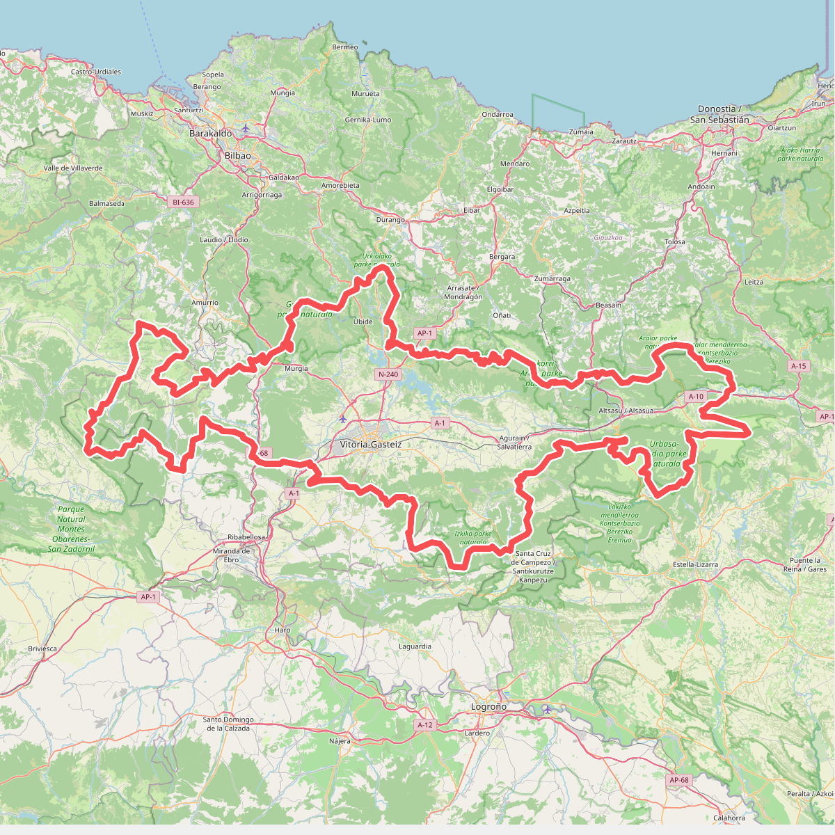
#1. Artzaintza naturbidea
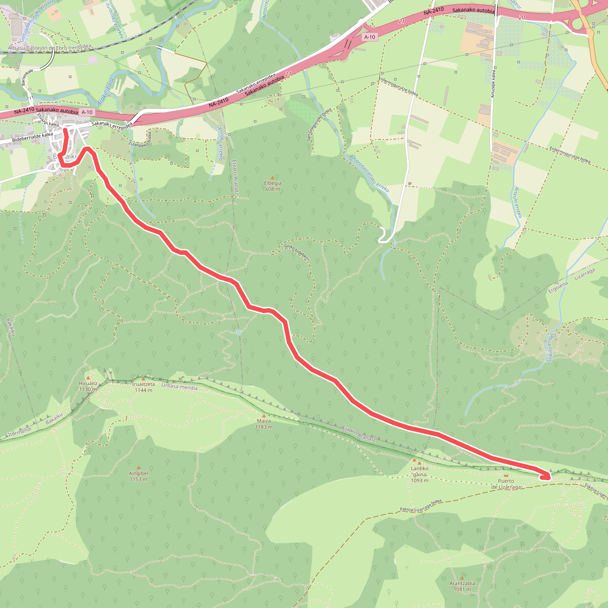
#2. Bernoako Galtzada: Bakaiku - Lizarragako portua
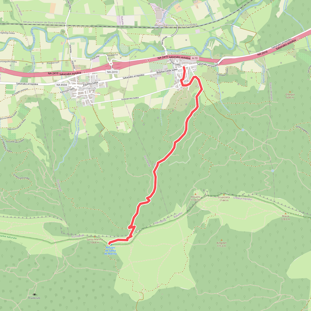
#3. Bernoako Galtzada: Bakaiku - Santa Marina
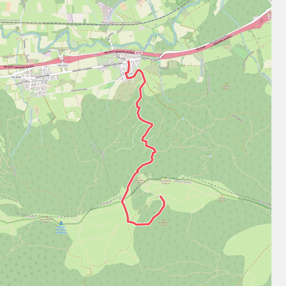
#4. Bernoako Galtzada: Bakaiku - Santa Marina (Iruaitzeta ondotik)
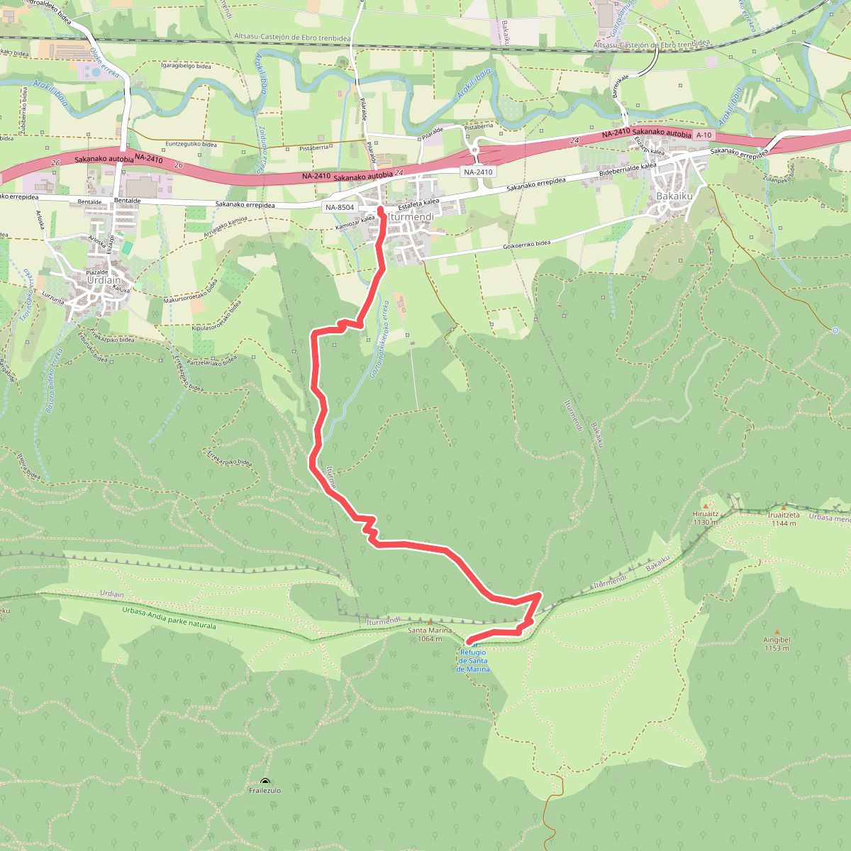
#5. Bernoako Galtzada: Iturmendi - Santa Marina
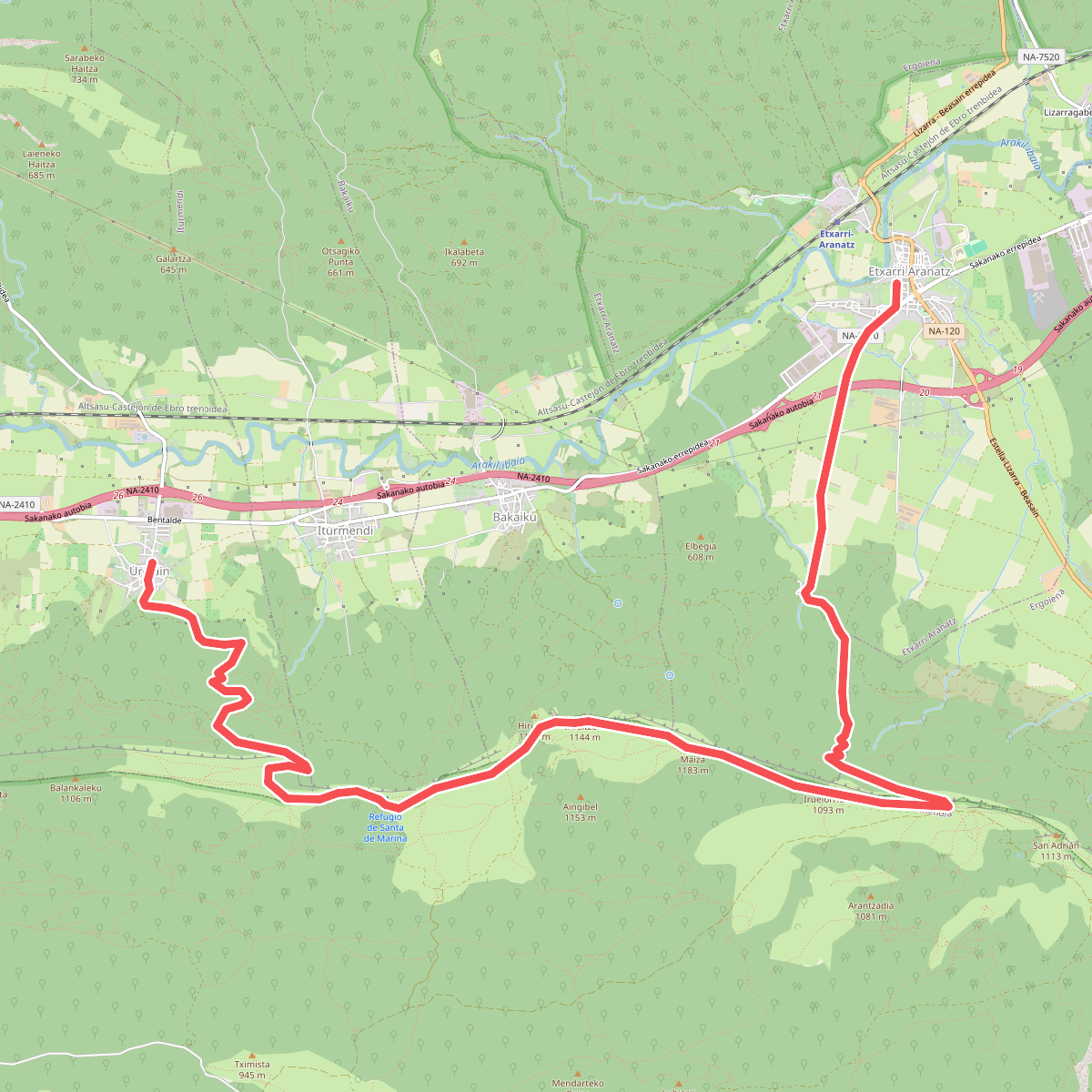
#6. Bernoako Galtzada: Urdiain - Etxarri Aranatz
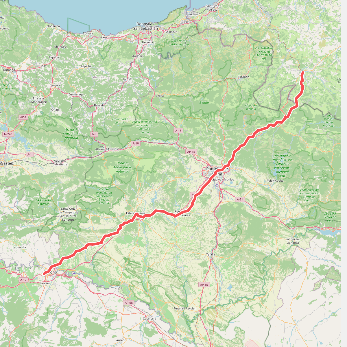
#7. Camino Francés - 01
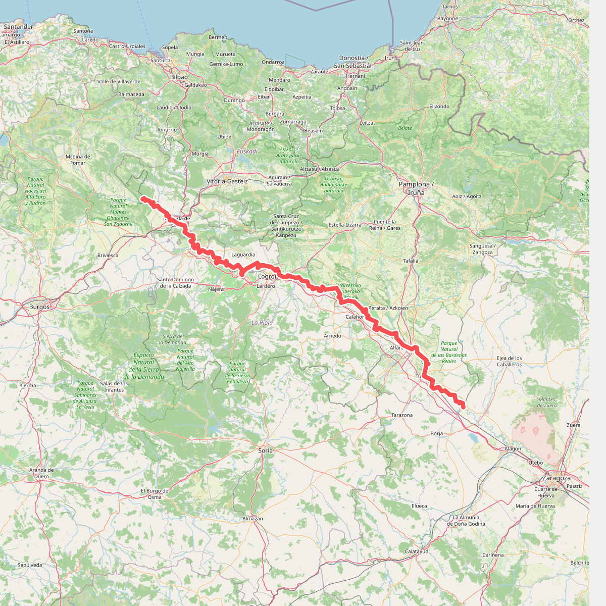
#8. Camino natural de Ebro - Tramo central
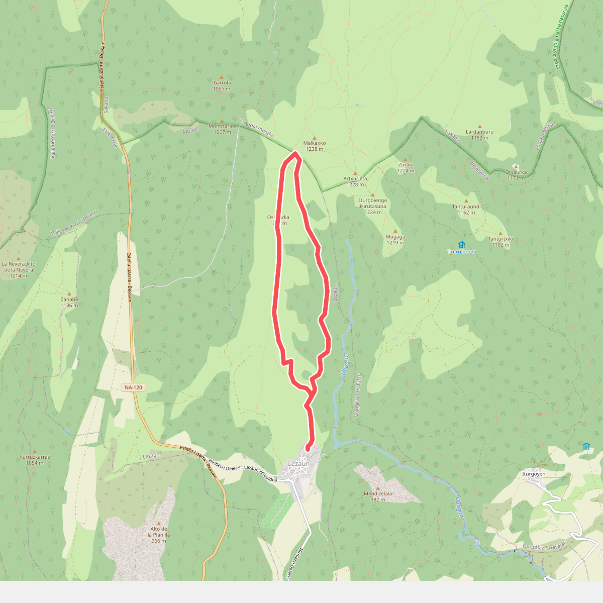
#9. Lezaungo pagadia
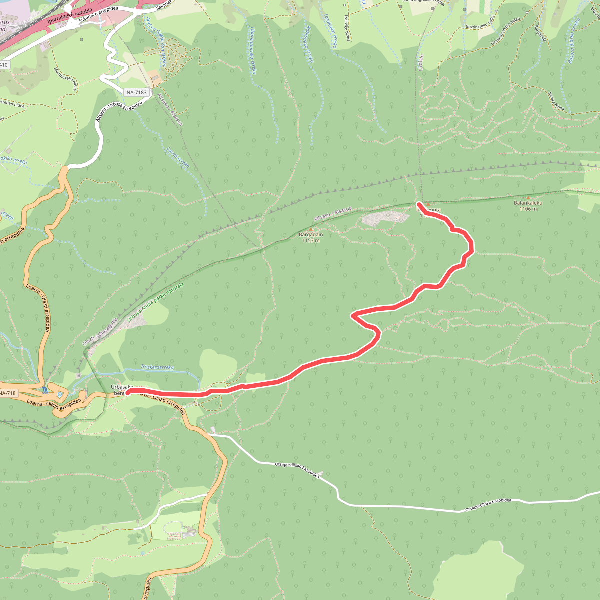
#10. Mendizaleen ibilbidea
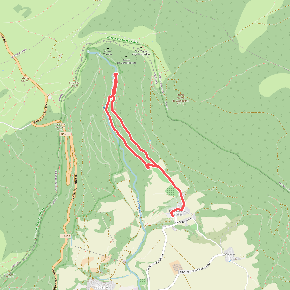
#11. Nacedero del Urederra