

The best hiking routes in Trockenrasen, Wiesen und Wälder um Weismain
Discover the best walks in Trockenrasen, Wiesen und Wälder um Weismain. 35 routes on the map, with descriptions, photos and GPX.
About Trockenrasen, Wiesen und Wälder um Weismain
Trockenrasen, Wiesen und Wälder um Weismain offers a distinct mix of dry limestone grasslands, damp meadows, and mixed forests set within the Franconian Jura. Unlike the flatter agricultural plains nearby, this area is defined by its steep valley slopes and limestone outcrops. Walkers will notice a sharp contrast between the dry, sun-exposed hillsides where thin soil supports specialized wildflowers and the cooler, shaded forest sections dominated by beech trees.
Read more
About Trockenrasen, Wiesen und Wälder um Weismain
Trockenrasen, Wiesen und Wälder um Weismain offers a distinct mix of dry limestone grasslands, damp meadows, and mixed forests set within the Franconian Jura. Unlike the flatter agricultural plains nearby, this area is defined by its steep valley slopes and limestone outcrops. Walkers will notice a sharp contrast between the dry, sun-exposed hillsides where thin soil supports specialized wildflowers and the cooler, shaded forest sections dominated by beech trees.
Read moreTrockenrasen, Wiesen und Wälder um Weismain offers a distinct mix of dry limestone grasslands, damp meadows, and mixed forests set within the Franconian Jura. Unlike the flatter agricultural plains nearby, this area is defined by its steep valley slopes and limestone outcrops. Walkers will notice a sharp contrast between the dry, sun-exposed hillsides where thin soil supports specialized wildflowers and the cooler, shaded forest sections dominated by beech trees.
Underfoot, the terrain changes quickly. You will transition from narrow, stony dirt paths on the steep slopes to softer, grassy tracks through the valley meadows. The limestone geology is visible everywhere, with white rock fragments scattered across the dry grasslands and occasional rocky steps on the climbs. It is a landscape shaped by traditional sheep grazing, which keeps the scrub from overtaking the open, species-rich slopes.
This area does not offer high mountain peaks or deep gorges, but rather a dense network of rolling hills and quiet valleys. In May and June, the dry grasslands are particularly distinct as wild orchids and herbs bloom on the open hillsides. It is generally a quiet area for walking, though the more accessible valley paths near Weismain see regular local foot traffic.
Hiking routes in Trockenrasen, Wiesen und Wälder um Weismain (35)
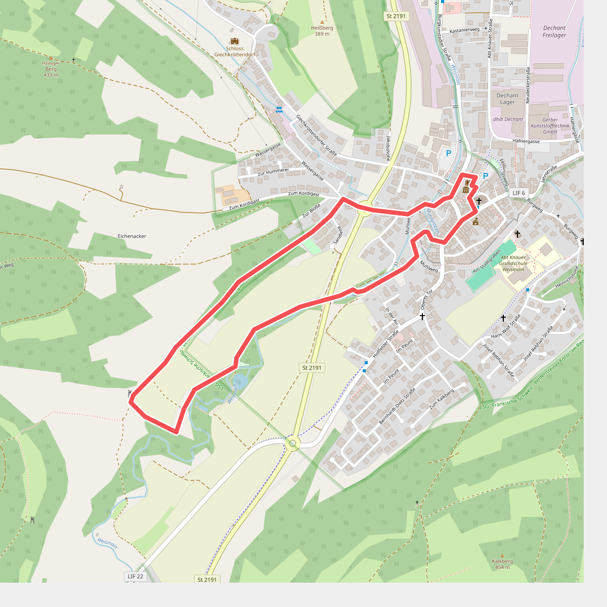
#1. Adolf-Kolping-Gedächtnisweg
Weismain
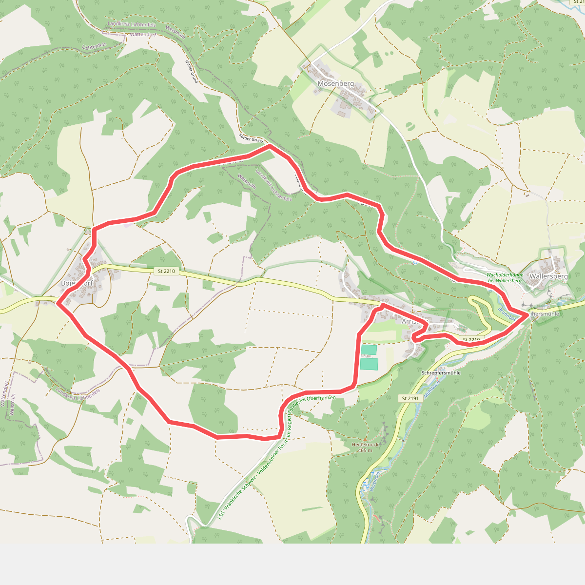
#2. Arnsteiner Rundweg (Weismain)
Weismain,Wattendorf
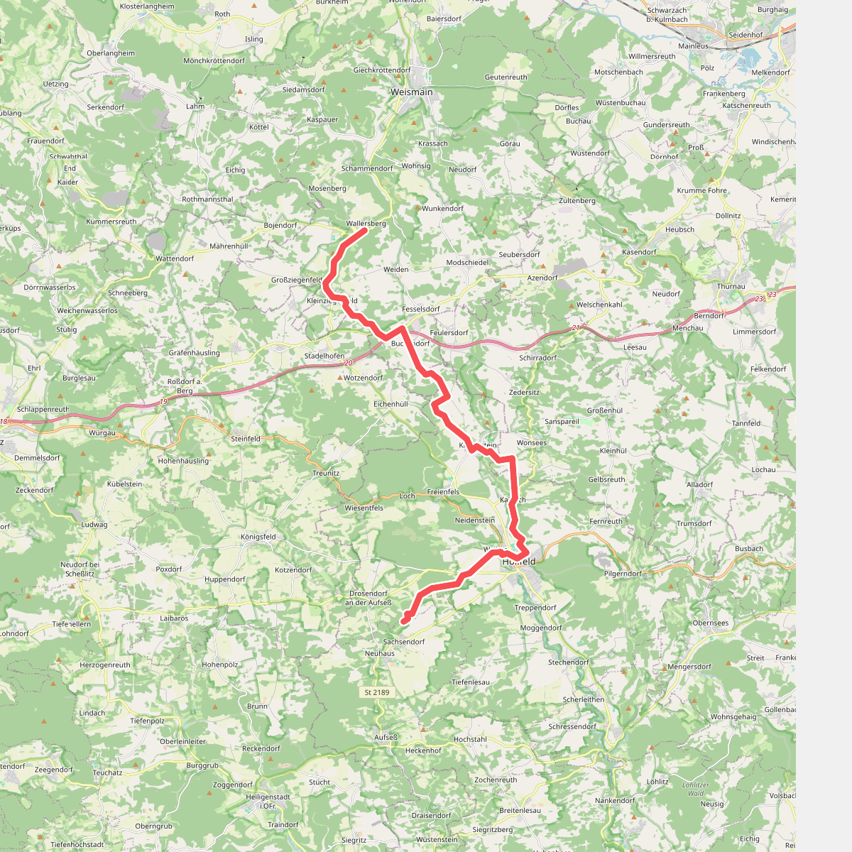
#3. Aufseßtal - Kleinziegenfeldertal
Aufseß,Hollfeld,Wonsees,Weismain,Stadelhofen
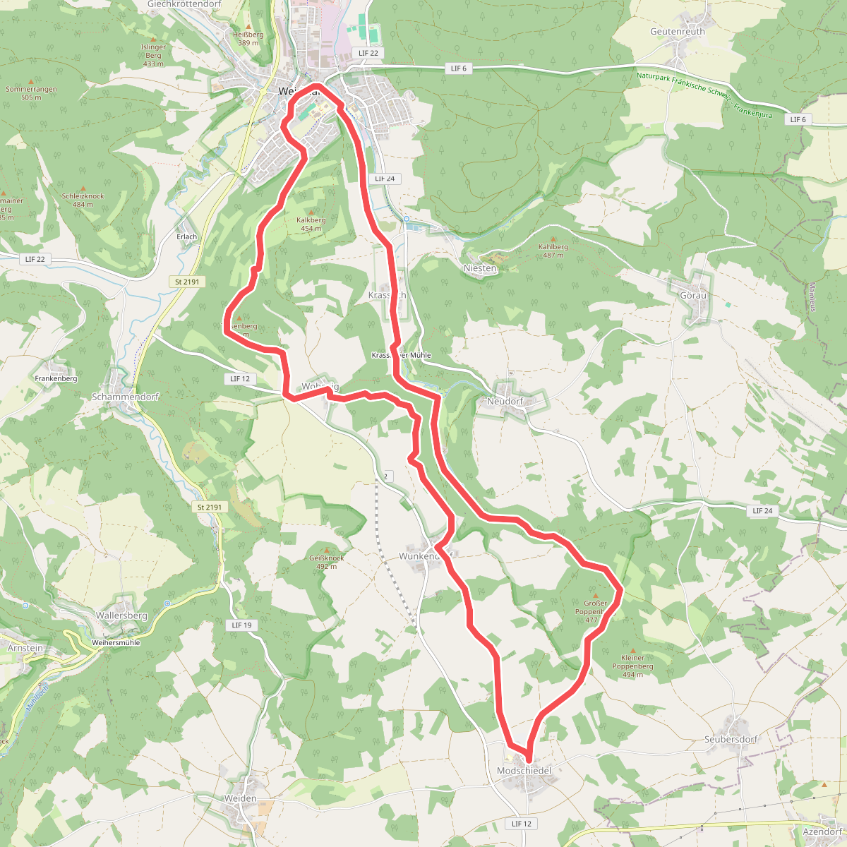
#4. Bärental-Rundweg
Weismain
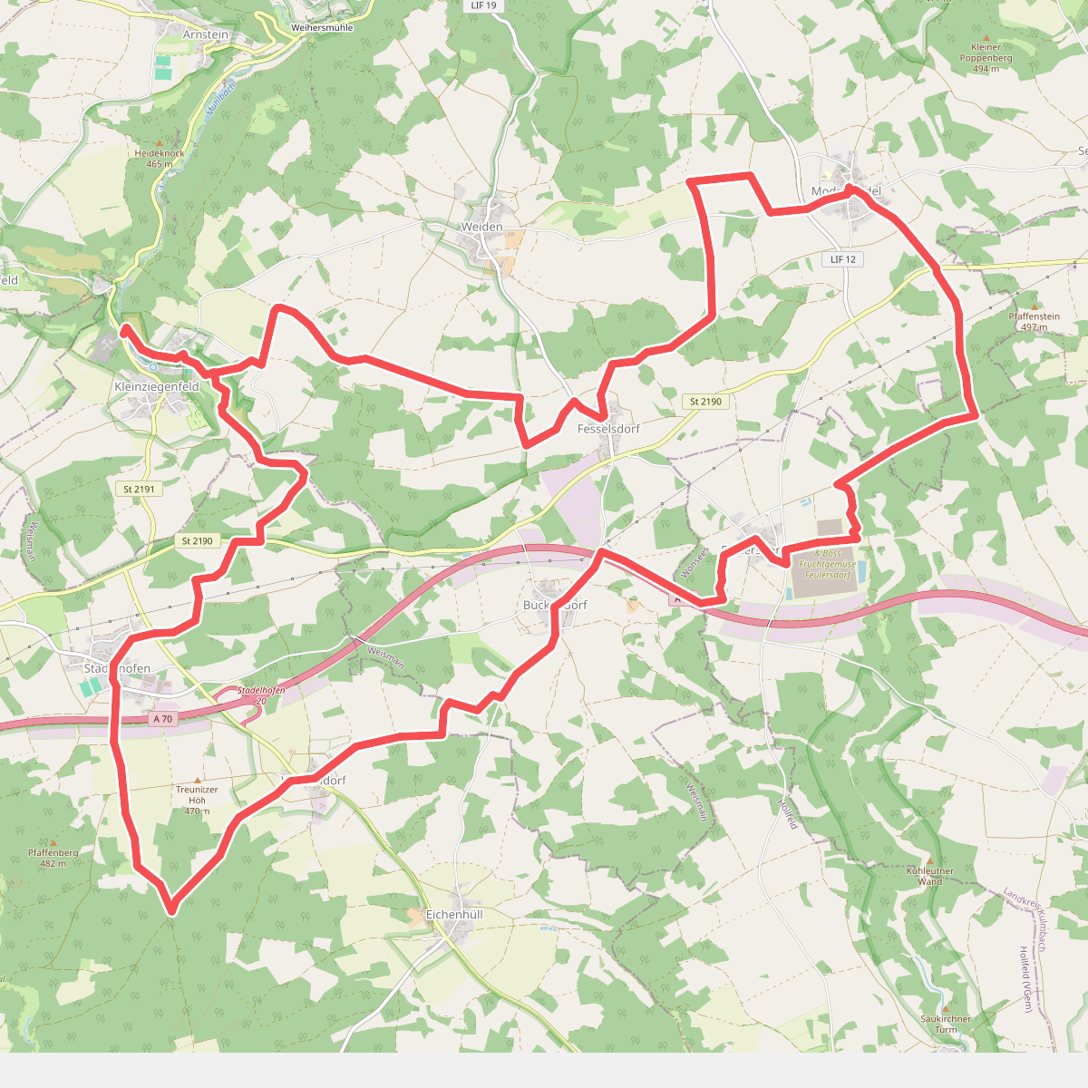
#5. Buckendorfer Rundweg
Weismain,Stadelhofen,Wonsees
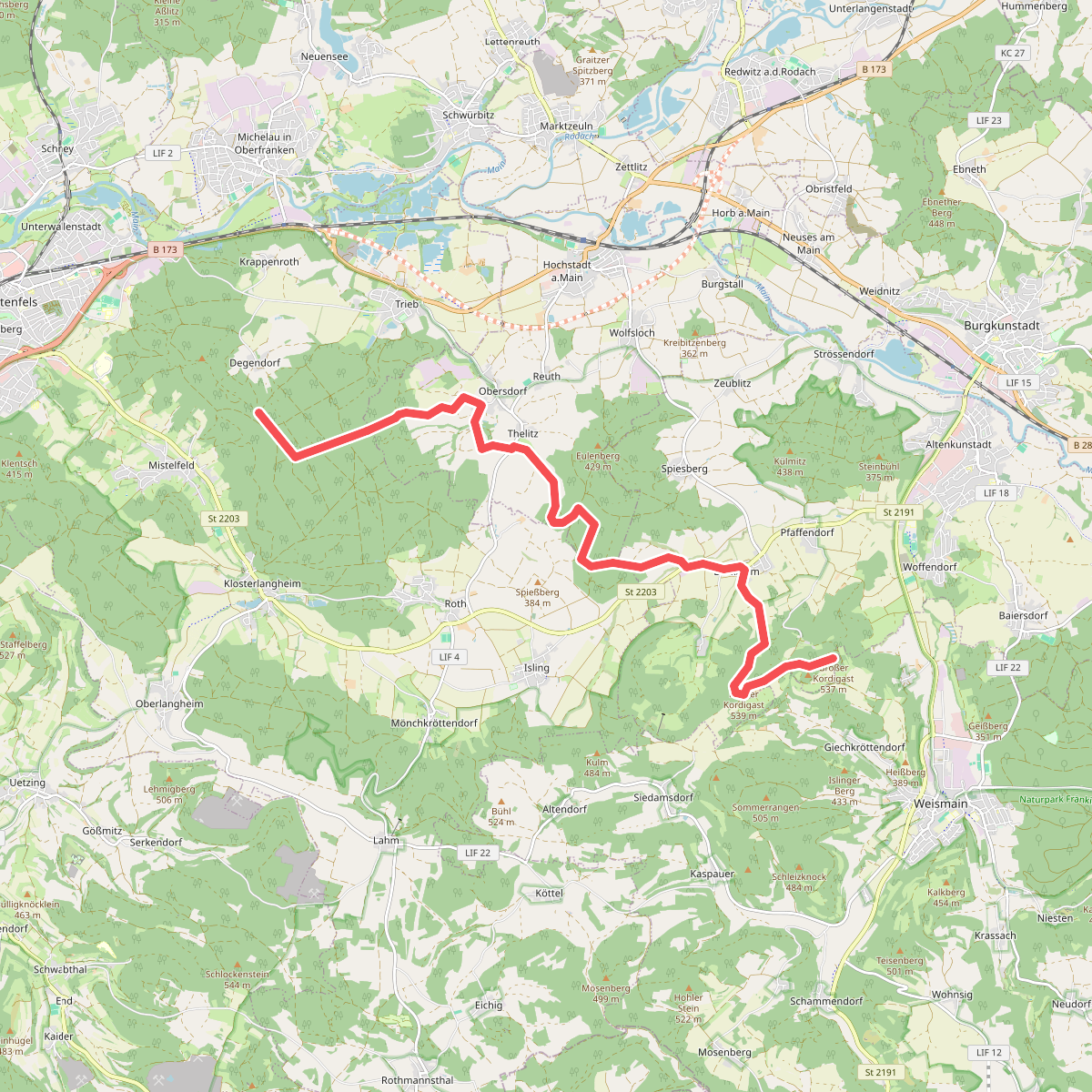
#6. Burkheimer Weg
Lichtenfels,Hochstadt a.Main,Altenkunstadt
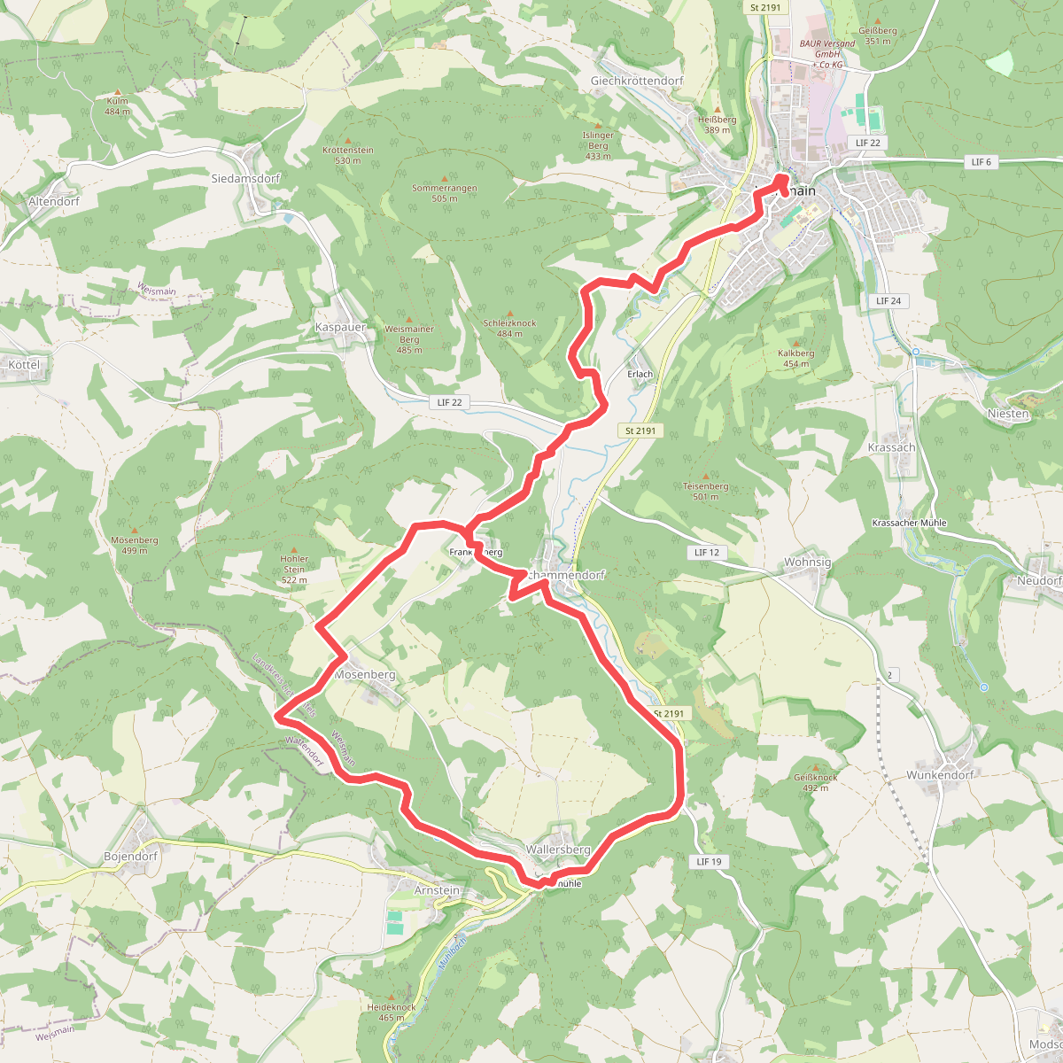
#7. Frankenberg Rundweg
Weismain,Wattendorf
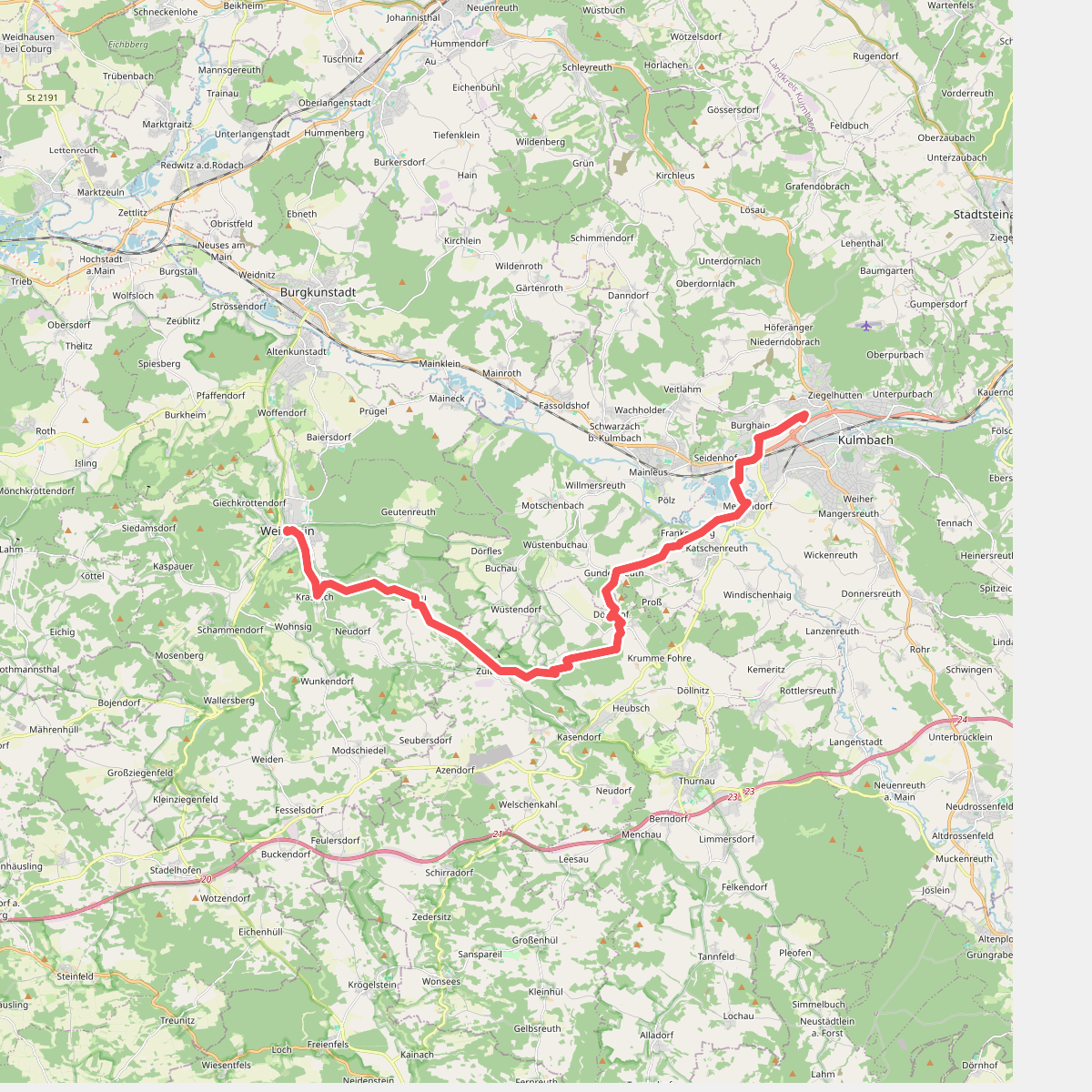
#8. Kulmbach - Weismain · Frankenweg etappe 6
Kulmbach,Mainleus,Kasendorf,Weismain
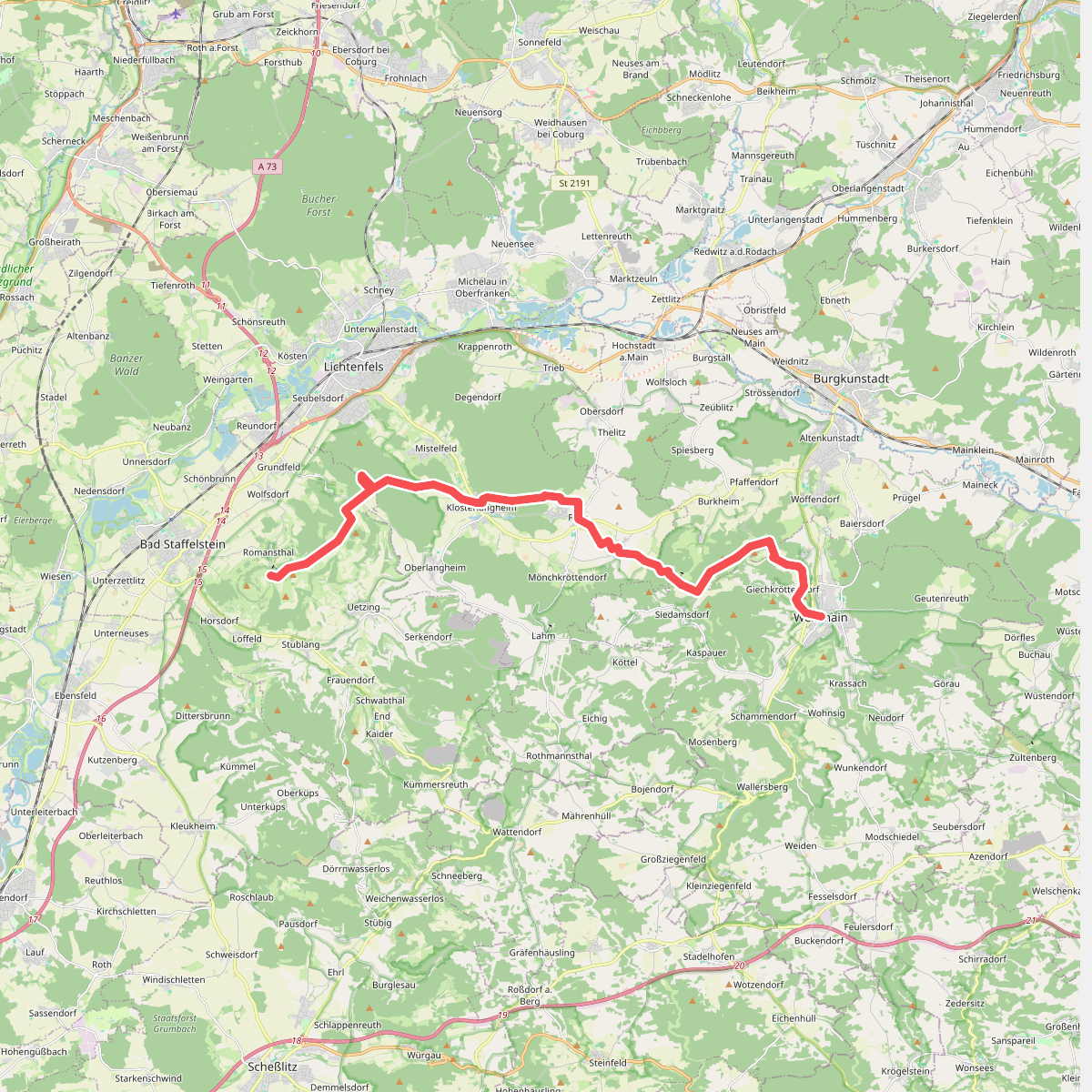
#9. Weismain - Romansthal · Frankenweg etappe 7
Weismain,Altenkunstadt,Lichtenfels,Bad Staffelstein
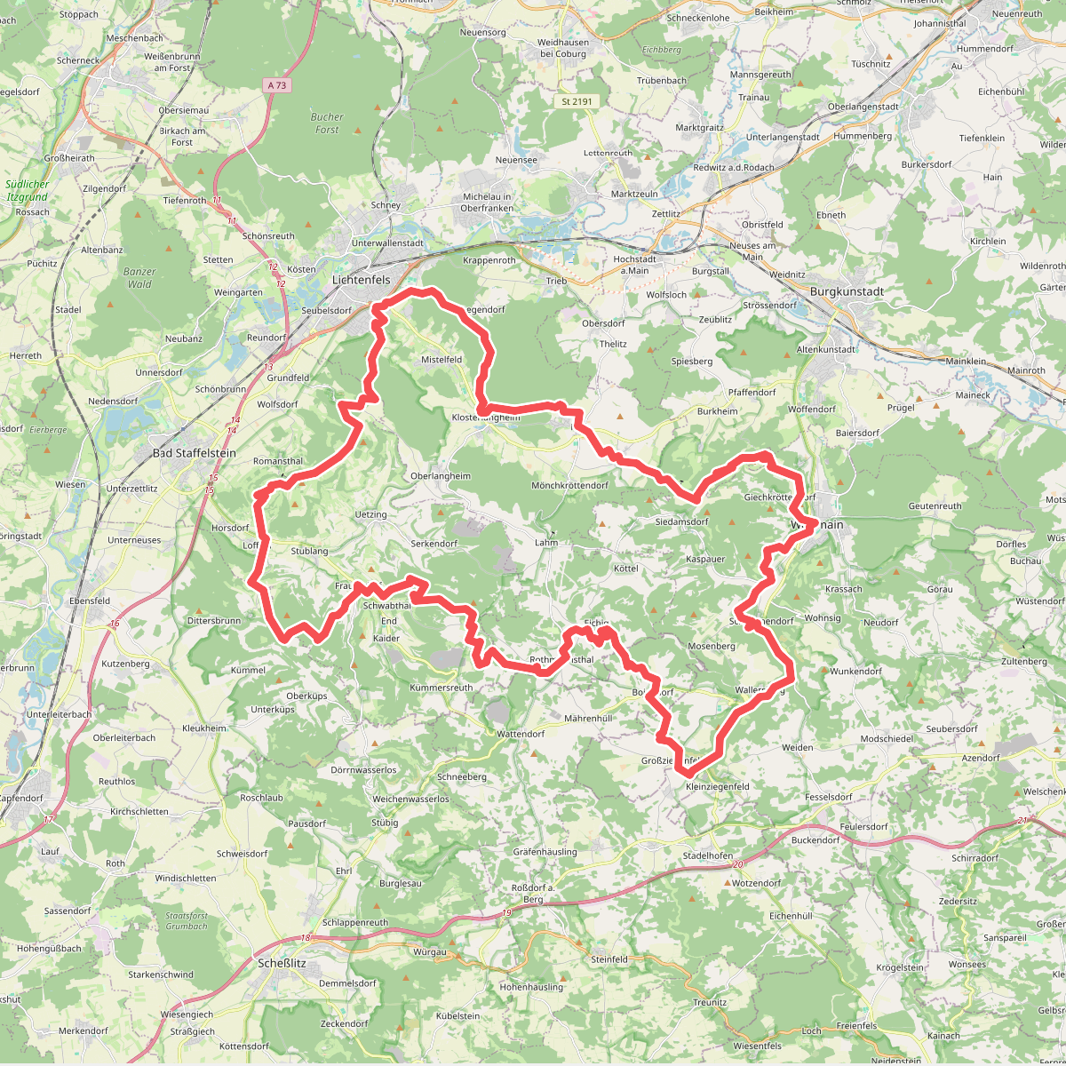
#10. Gottesgartenrundweg Süd
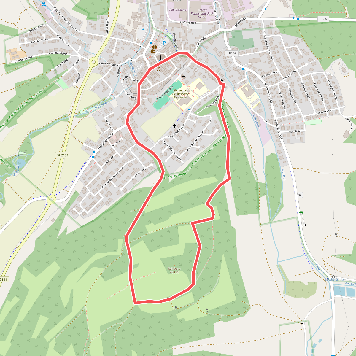
#11. Kalkberg-Rundweg (Weismain)
Weismain
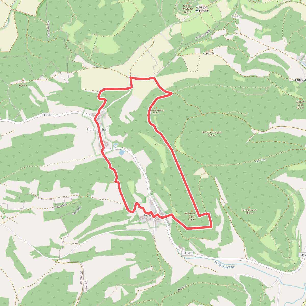
#12. Kaspauer Rundweg
Weismain



