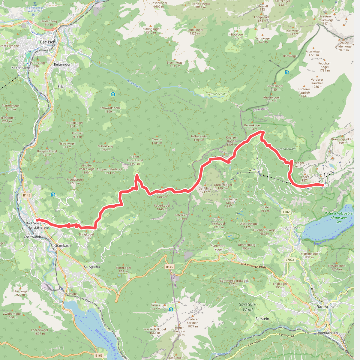
The best hiking routes in Totes Gebirge mit Altausseer See
Discover the best walks in Totes Gebirge mit Altausseer See. 10 routes on the map, with descriptions, photos and GPX.
About Totes Gebirge mit Altausseer See
The Totes Gebirge mit Altausseer See protected area presents a stark contrast between a deep, forested lake basin and a vast, high-altitude limestone plateau. At the lower elevation, the trail around the Altausseer See follows a flat, gravelled shoreline path closely bordered by dark spruce forests and steep wooded slopes. This lower section is characterized by damp, shaded microclimates and immediate access to the water, making it a popular and accessible walk for those seeking gentle terrain.
Read more
About Totes Gebirge mit Altausseer See
The Totes Gebirge mit Altausseer See protected area presents a stark contrast between a deep, forested lake basin and a vast, high-altitude limestone plateau. At the lower elevation, the trail around the Altausseer See follows a flat, gravelled shoreline path closely bordered by dark spruce forests and steep wooded slopes. This lower section is characterized by damp, shaded microclimates and immediate access to the water, making it a popular and accessible walk for those seeking gentle terrain.
Read moreThe Totes Gebirge mit Altausseer See protected area presents a stark contrast between a deep, forested lake basin and a vast, high-altitude limestone plateau. At the lower elevation, the trail around the Altausseer See follows a flat, gravelled shoreline path closely bordered by dark spruce forests and steep wooded slopes. This lower section is characterized by damp, shaded microclimates and immediate access to the water, making it a popular and accessible walk for those seeking gentle terrain.
As you ascend into the Totes Gebirge itself, the landscape changes abruptly into a barren, grey karst plateau. Underfoot, the damp lakeside soil is replaced by sharp, fractured limestone, deep sinkholes, and exposed rock pavements. There are no trees or surface streams here, as rainwater drains instantly through the porous stone. The paths turn into rugged, rocky tracks marked by painted symbols directly on the stone, requiring careful stepping and navigation.
This area is not a place for lush alpine meadows or soft grassy ridges. Instead, walkers will encounter a dry, desert-like stone environment at the top, contrasted with the humid, enclosed lake basin below. While the lakeside path is often busier and easy to navigate, the upper plateau demands mountain boots and a tolerance for exposed, rocky terrain where water is unavailable.
Hiking routes in Totes Gebirge mit Altausseer See (10)
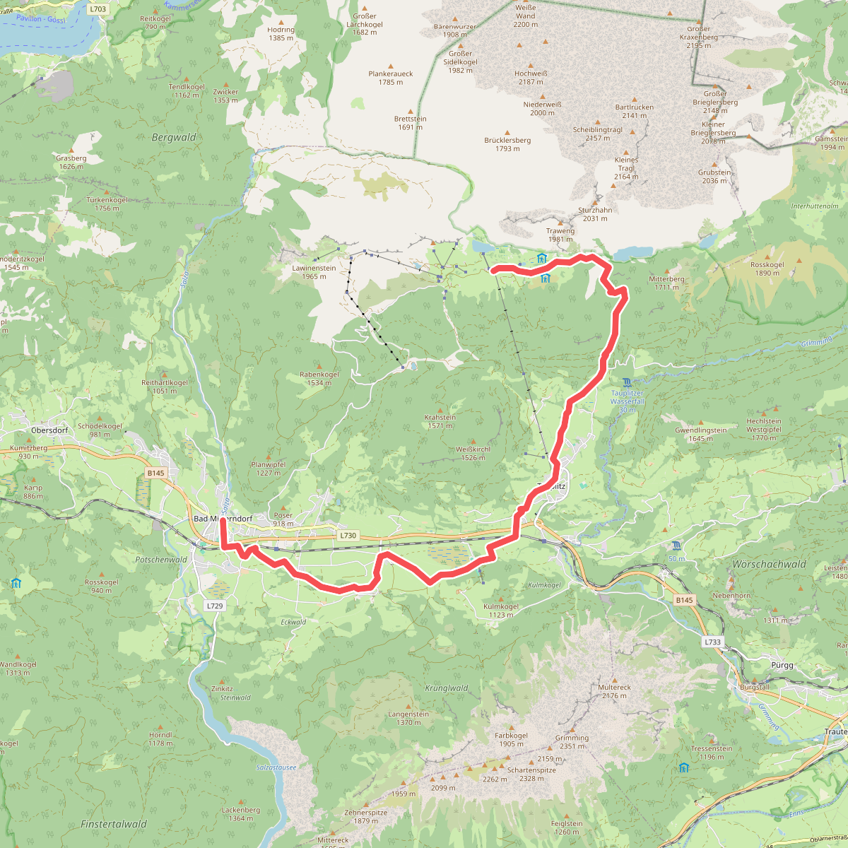
#1. Bad Mitterndorf - Tauplitzalm · BergeSeen Trail etappe 15
Bad Mitterndorf
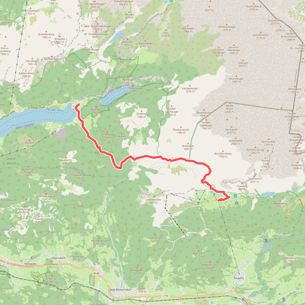
#2. Tauplitzalm - Gößl am Grundlsee · BergeSeen Trail etappe 16
Bad Mitterndorf,Grundlsee
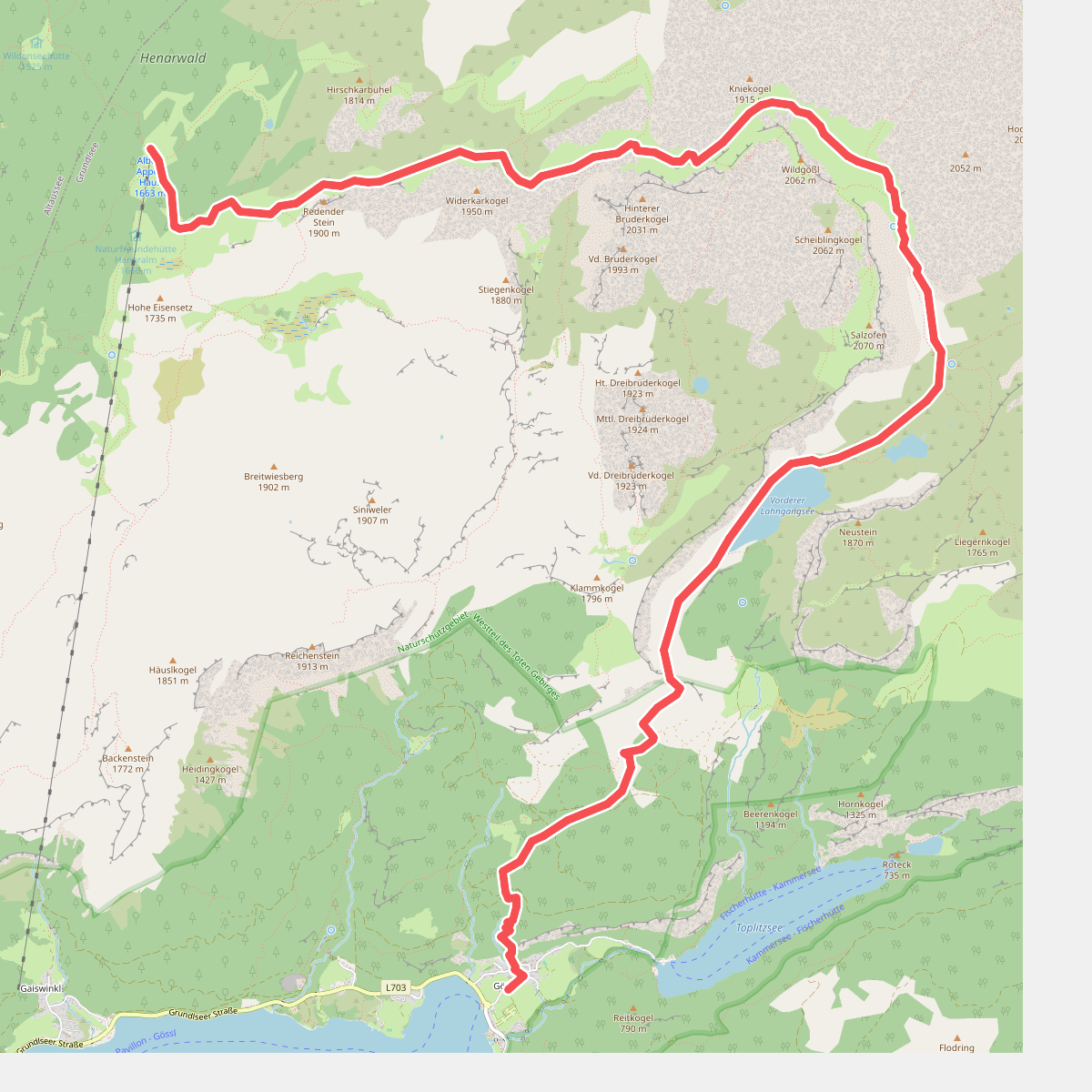
#3. Gößl am Grundlsee - Albert-Appelhaus · BergeSeen Trail etappe 17
Grundlsee
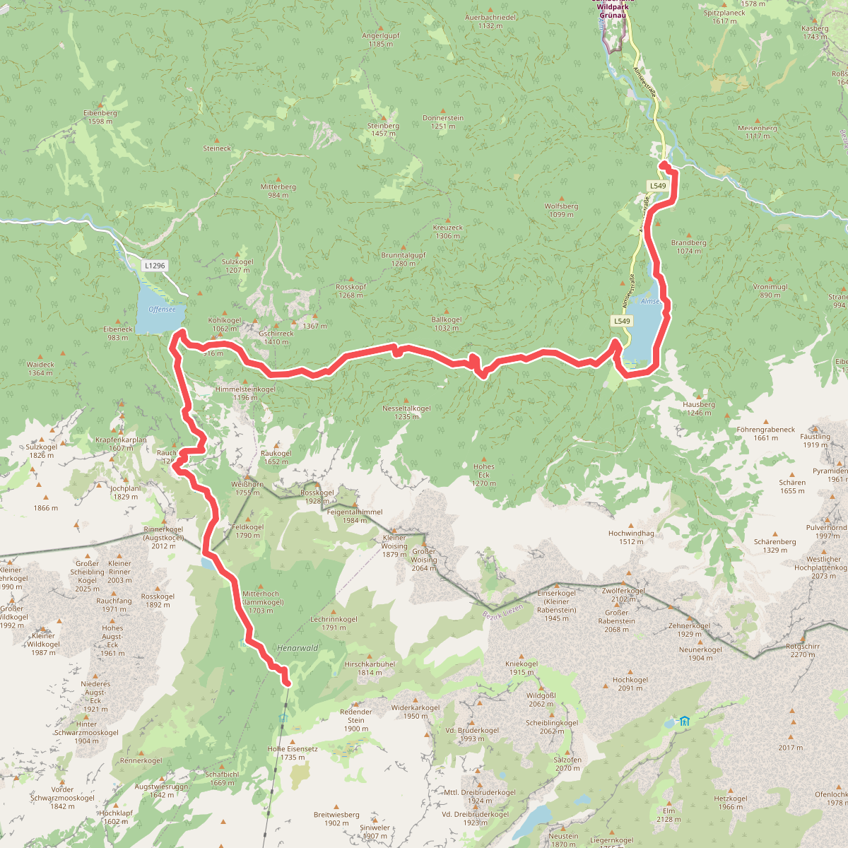
#4. Albert-Appelhaus - Gasthof Jagersimmerl · BergeSeen Trail etappe 18
Grundlsee,Altaussee,Ebensee am Traunsee,Grünau im Almtal
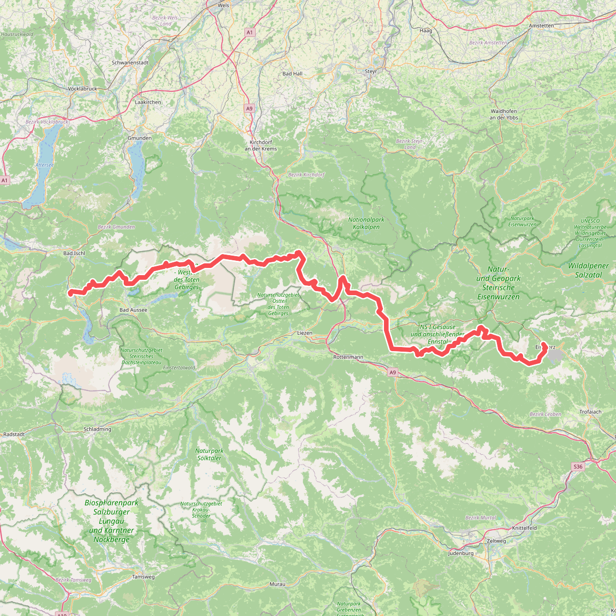
#5. Europäischer Fernwanderweg E4 alpin (Bad Goisern/Eisenerz)
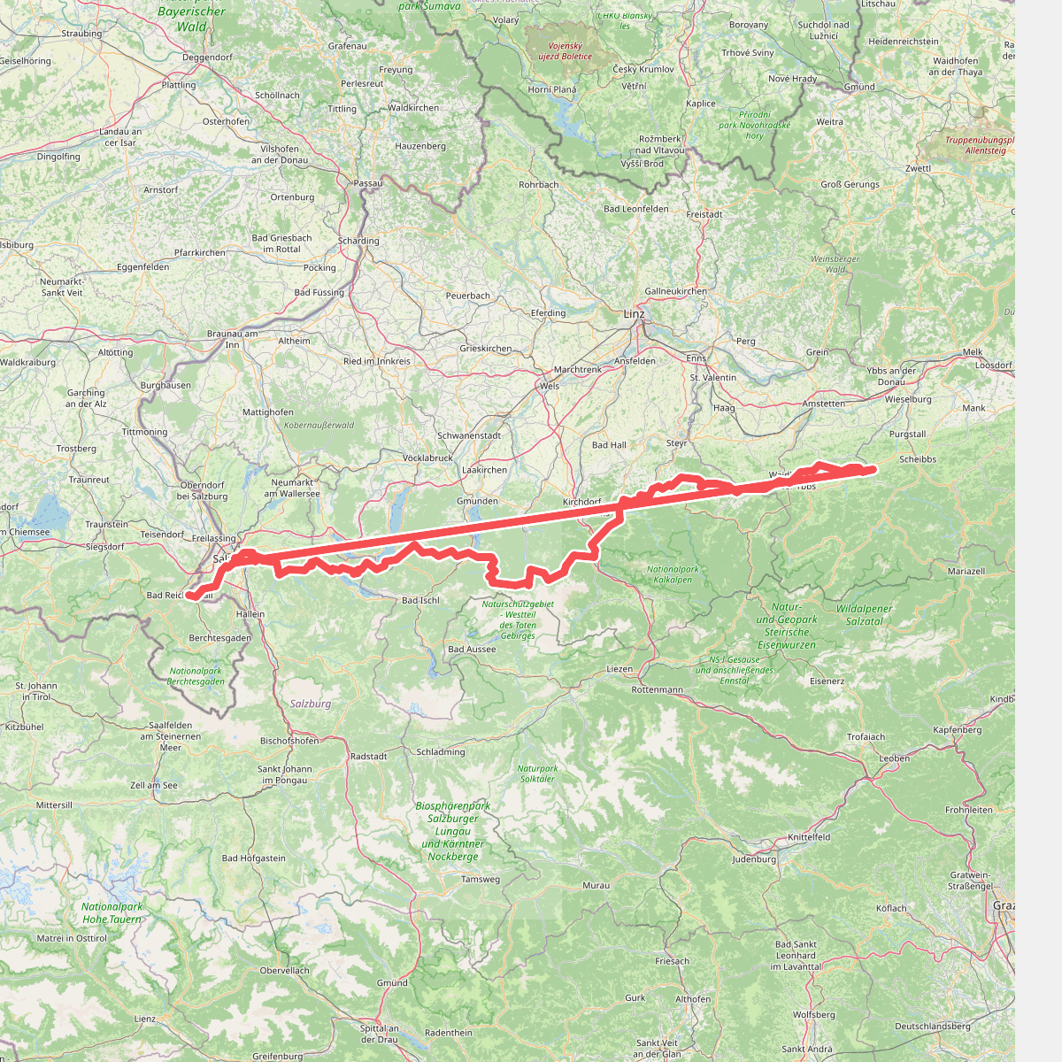
#6. Europäischer Fernwanderweg E4 (von Salzburg nach Gresten)
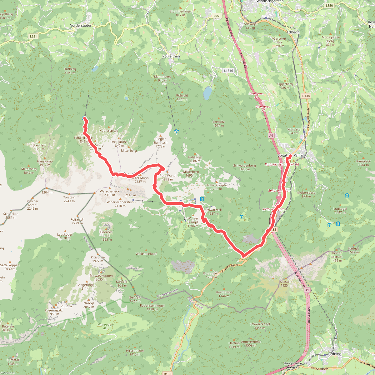
#7. Via Alpina Purple A26
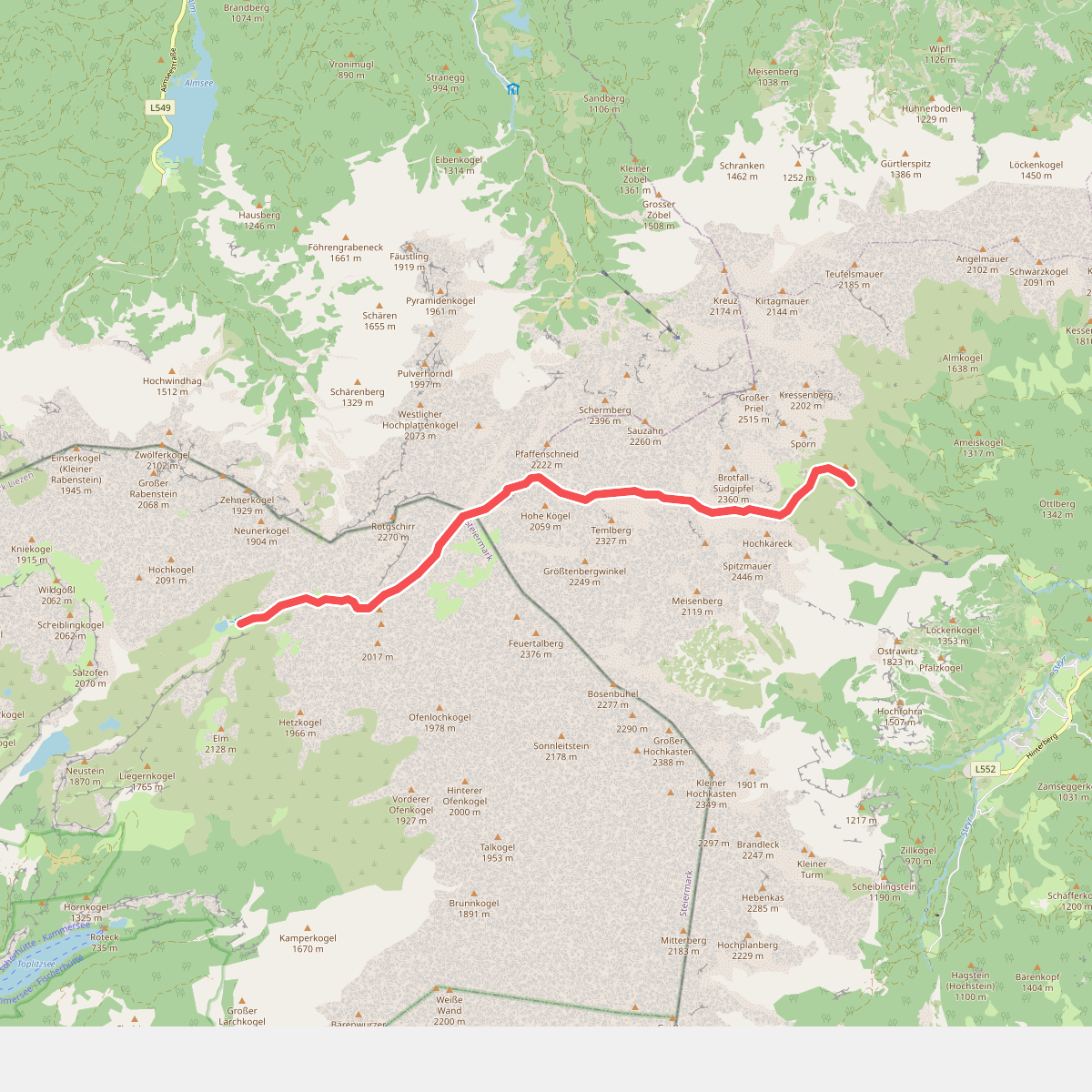
#8. Via Alpina Purple A29
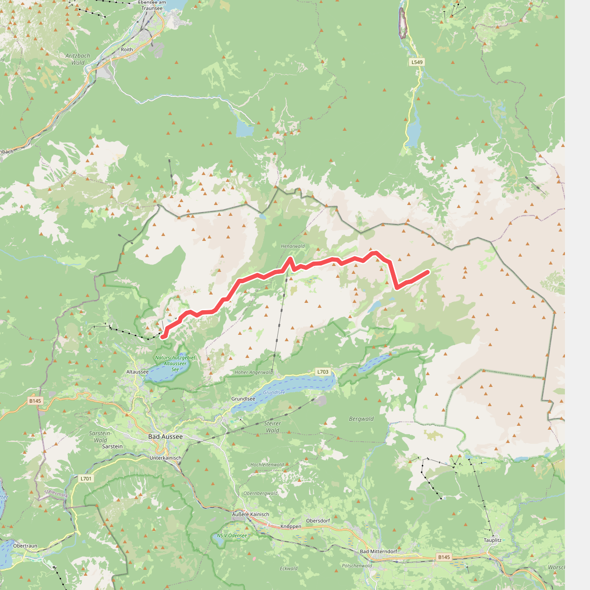
#9. Via Alpina Purple A30