

The best hiking routes in Testa d'Alpe - Alto
Discover the best walks in Testa d'Alpe - Alto. 6 routes on the map, with descriptions, photos and GPX.
Managed by Ente Parco delle Alpi Liguri
About Testa d'Alpe - Alto
Testa d'Alpe - Alto occupies a rugged, high-altitude limestone ridge on the border between Italy and France, managed by the Ente Parco delle Alpi Liguri. Unlike the softer, pine-covered hills lower down the valleys, this area is defined by sharp karst formations, exposed white rock, and dense, high-elevation silver fir forests. Walkers will notice a stark transition between the shaded, damp woodland floors on the northern slopes and the dry, sun-baked limestone pavements that dominate the southern ridges.
Read more
About Testa d'Alpe - Alto
Testa d'Alpe - Alto occupies a rugged, high-altitude limestone ridge on the border between Italy and France, managed by the Ente Parco delle Alpi Liguri. Unlike the softer, pine-covered hills lower down the valleys, this area is defined by sharp karst formations, exposed white rock, and dense, high-elevation silver fir forests. Walkers will notice a stark transition between the shaded, damp woodland floors on the northern slopes and the dry, sun-baked limestone pavements that dominate the southern ridges.
Read moreTesta d'Alpe - Alto occupies a rugged, high-altitude limestone ridge on the border between Italy and France, managed by the Ente Parco delle Alpi Liguri. Unlike the softer, pine-covered hills lower down the valleys, this area is defined by sharp karst formations, exposed white rock, and dense, high-elevation silver fir forests. Walkers will notice a stark transition between the shaded, damp woodland floors on the northern slopes and the dry, sun-baked limestone pavements that dominate the southern ridges.
Underfoot, the terrain demands careful attention. The paths here are predominantly rough, stony mule tracks and narrow, dirt singletracks littered with loose limestone scree, rather than flat, groomed gravel ways. There are no gentle boardwalks or sandy paths here. Instead, you will navigate steep, stepped rock passages and natural limestone steps shaped by water erosion. In June, the open alpine meadows near the summit ridge are marked by a brief, intense flowering of mountain flora, contrasting with the dark, silent forest sections.
This is a demanding mountain environment where the main appeal lies in its complex, folded geology and the transition from Mediterranean-influenced scrub to subalpine forest. It does not offer gentle, rolling family strolls or lakeside promenades. Walkers should expect sustained climbs and descents on uneven, rocky ground where the path is often defined simply by painted trail markers on the boulders.
Hiking routes in Testa d'Alpe - Alto (6)
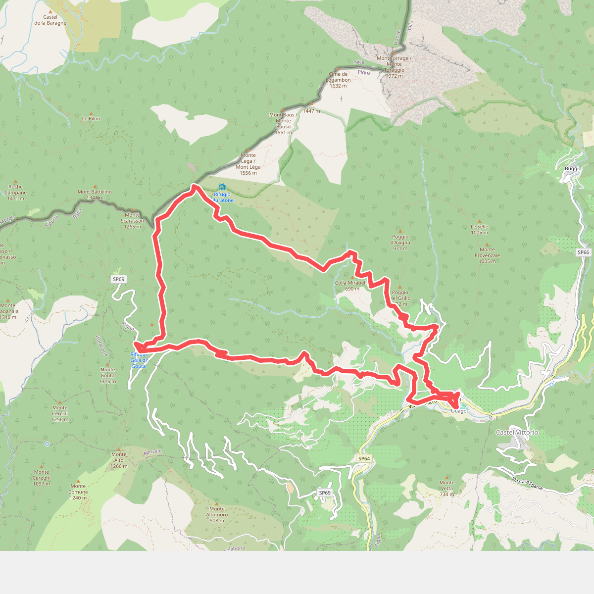
#1. Anello Pigna
Pigna
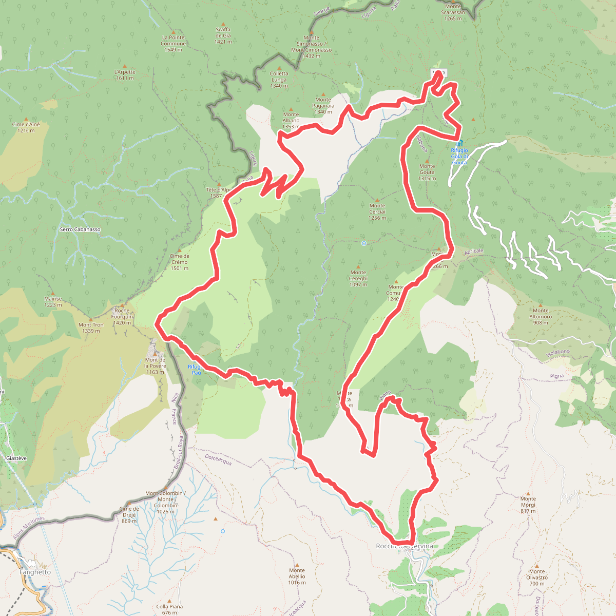
#2. Anello Rocchetta Nervina
Rocchetta Nervina,Breil-sur-Roya,Pigna,Apricale,Isolabona
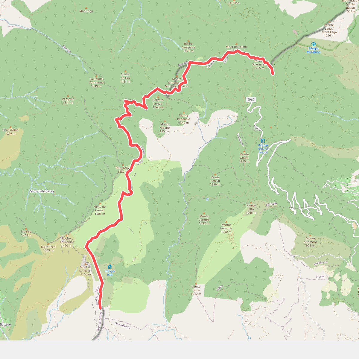
#3. Colla Sgora - Colle Scarassan
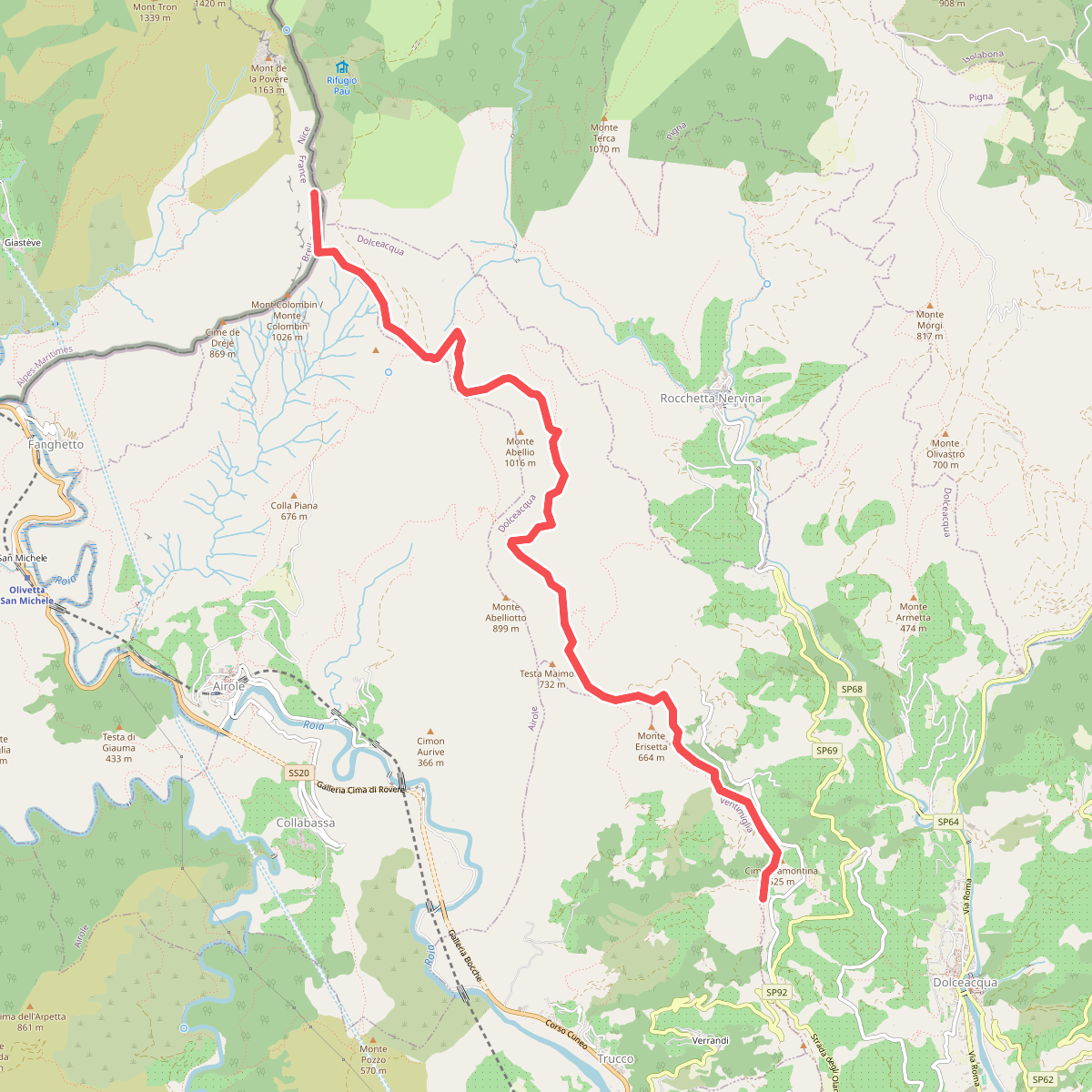
#4. La Colla - Colla Sgora
Dolceacqua,Ventimiglia,Breil-sur-Roya
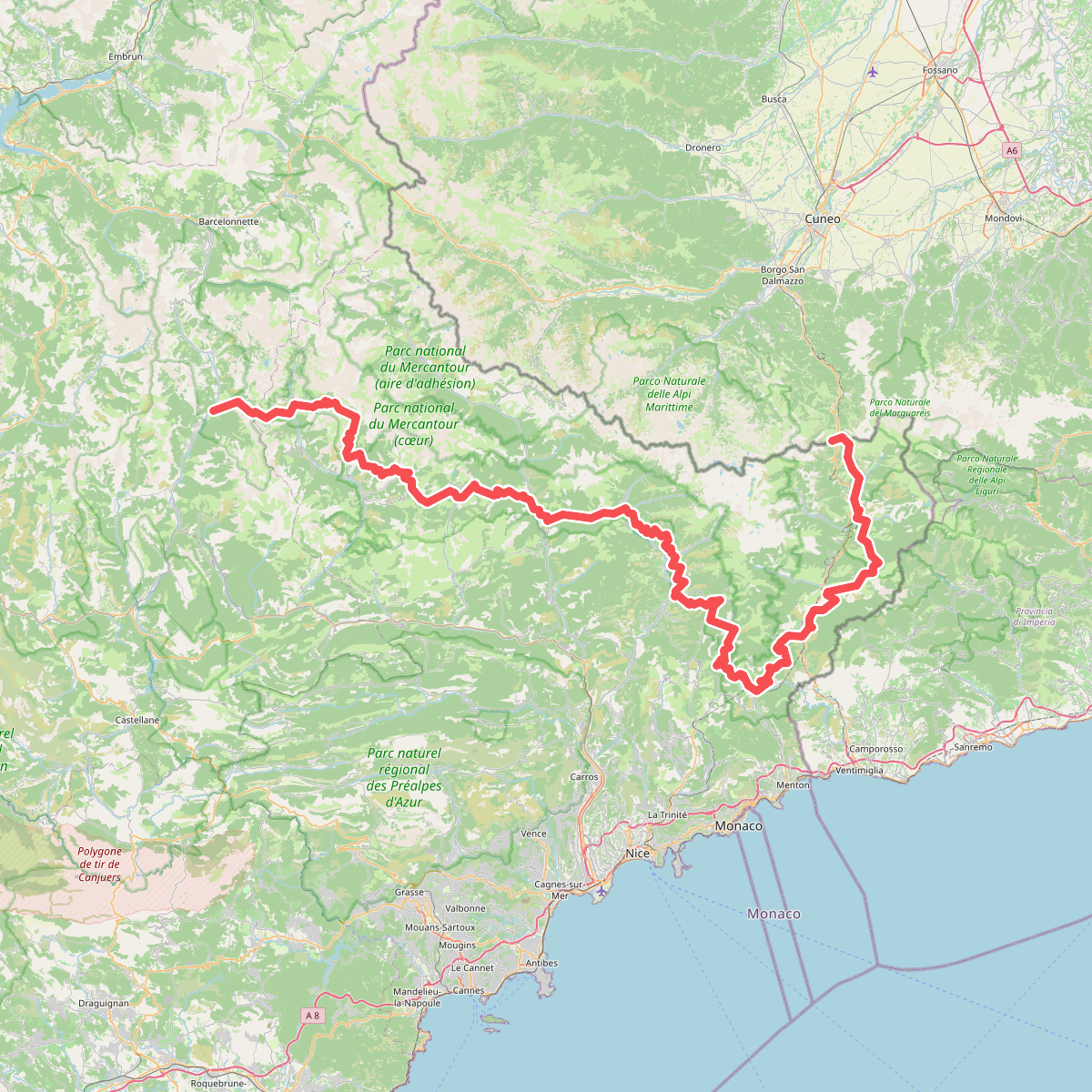
#5. Le Sentier panoramique du Mercantour
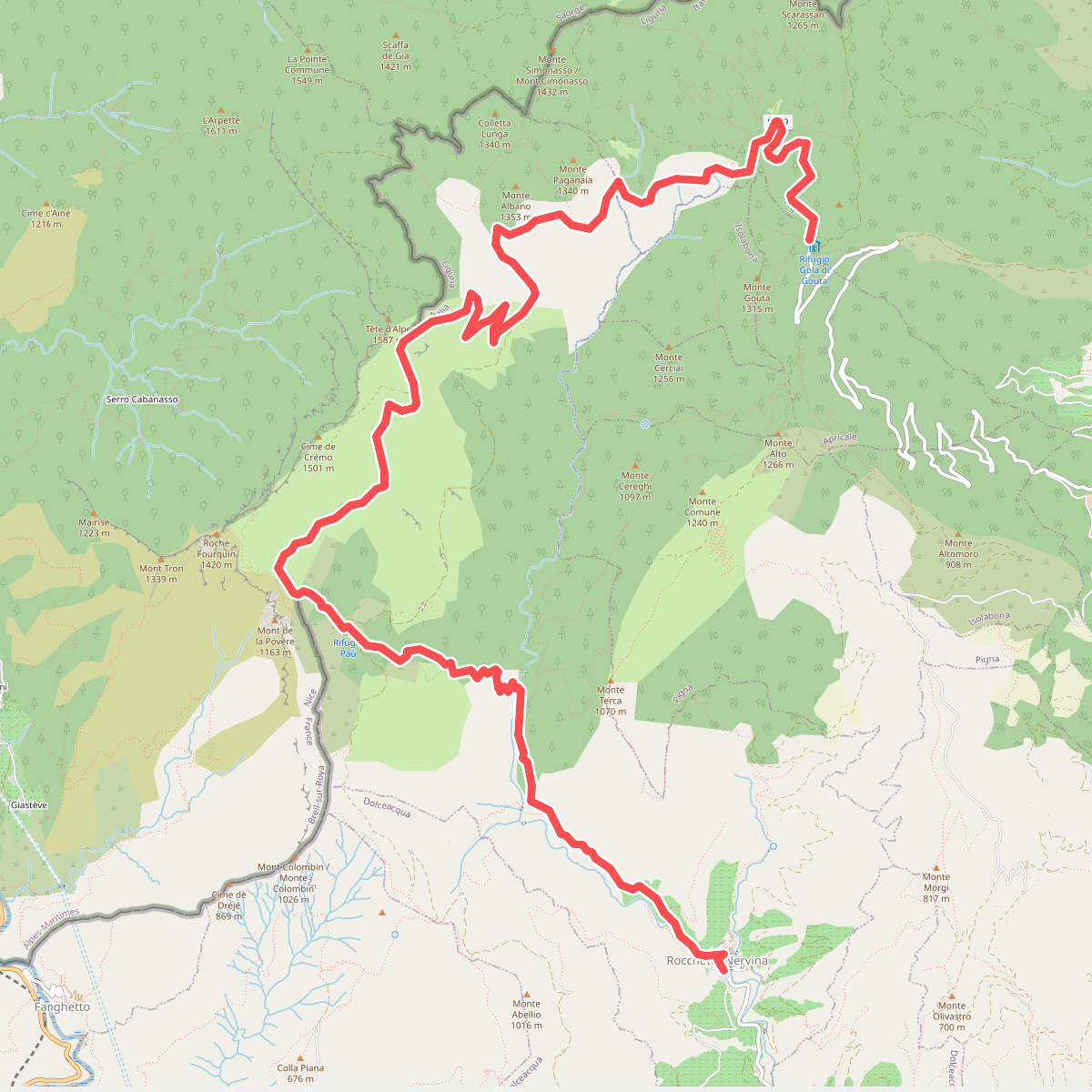
#6. Tour del Parco Alpi Liguri
Rocchetta Nervina,Breil-sur-Roya,Pigna



