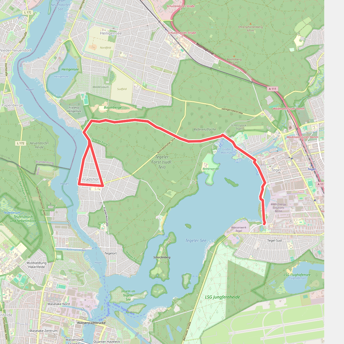
The best hiking routes in Tegeler Forst
Discover the best walks in Tegeler Forst. 10 routes on the map, with descriptions, photos and GPX.
About Tegeler Forst
Tegeler Forst offers a distinct contrast to the flatter, more manicured parks of central Berlin. Situated in the city's northwest, this forested area is defined by its rolling glacial moraine topography, where sandy paths climb over gentle ridges and drop into damp, shaded hollows. The canopy is dominated by mature oaks and towering pines, including the famous thick-trunked Dicke Marie tree near the lake shore, which provides a clear marker of the forest's age. Underfoot, the terrain alternates between soft pine needle carpets, loose sand tracks that require more effort to walk, and firmer gravel paths closer to the lake.
Read more
About Tegeler Forst
Tegeler Forst offers a distinct contrast to the flatter, more manicured parks of central Berlin. Situated in the city's northwest, this forested area is defined by its rolling glacial moraine topography, where sandy paths climb over gentle ridges and drop into damp, shaded hollows. The canopy is dominated by mature oaks and towering pines, including the famous thick-trunked Dicke Marie tree near the lake shore, which provides a clear marker of the forest's age. Underfoot, the terrain alternates between soft pine needle carpets, loose sand tracks that require more effort to walk, and firmer gravel paths closer to the lake.
Read moreTegeler Forst offers a distinct contrast to the flatter, more manicured parks of central Berlin. Situated in the city's northwest, this forested area is defined by its rolling glacial moraine topography, where sandy paths climb over gentle ridges and drop into damp, shaded hollows. The canopy is dominated by mature oaks and towering pines, including the famous thick-trunked Dicke Marie tree near the lake shore, which provides a clear marker of the forest's age. Underfoot, the terrain alternates between soft pine needle carpets, loose sand tracks that require more effort to walk, and firmer gravel paths closer to the lake.
Walking through the interior reveals how the landscape transitions from dry, elevated sandy soils to the wetter margins of the Tegeler See. Unlike the open heaths of northern Germany, this is a dense, enclosed woodland where views are framed by trunks rather than wide horizons. The paths nearest the water are often busier with strollers, while the deeper forest trails remain quieter, defined by the sound of woodpeckers and the rustle of beech leaves.
Visitors should not expect dramatic viewpoints or rocky climbs, as the elevation changes are modest and gradual. Instead, the appeal lies in reading the post-glacial landscape through its soil and tree distribution, from the damp-loving alders in the low-lying depressions to the Scots pines on the drier ridges. It is a classic Brandenburg forest, easily navigated but varied enough to offer distinct routes depending on whether you prefer lakeside walking or quiet woodland tracks.
Hiking routes in Tegeler Forst (10)
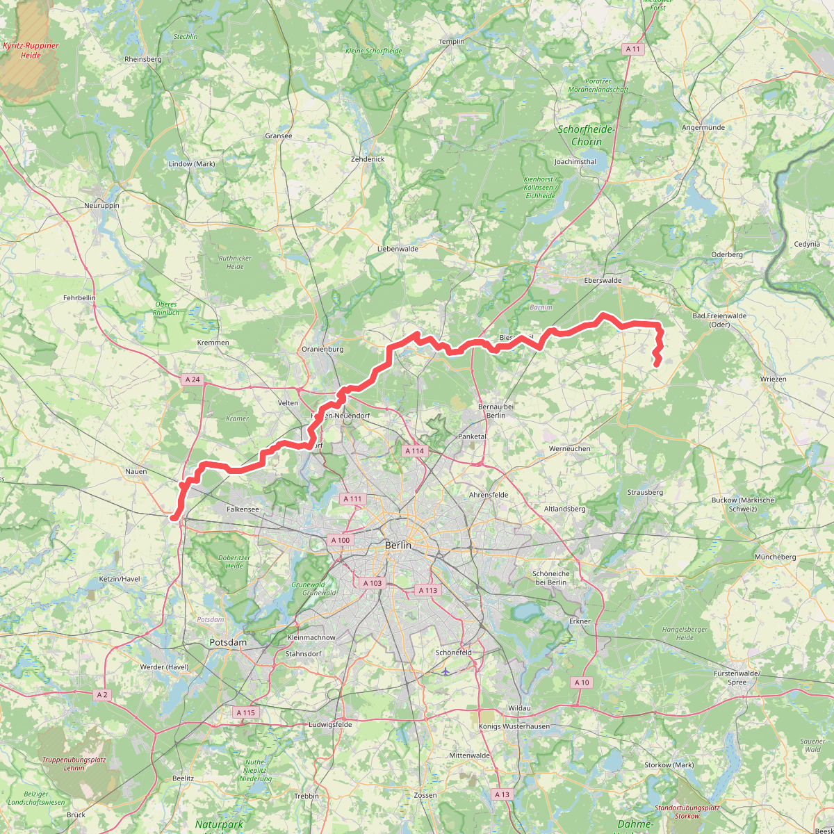
#1. 66-Seen-Wanderweg
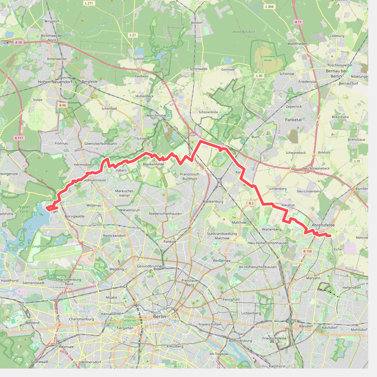
#2. Barnimer Dörferweg
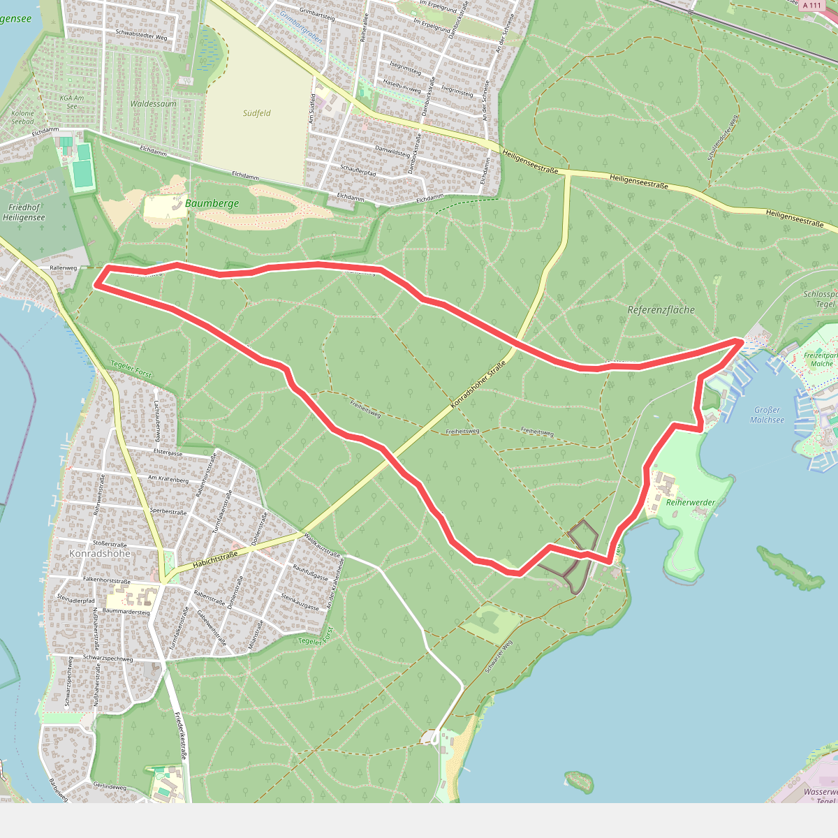
#3. Blumenweg
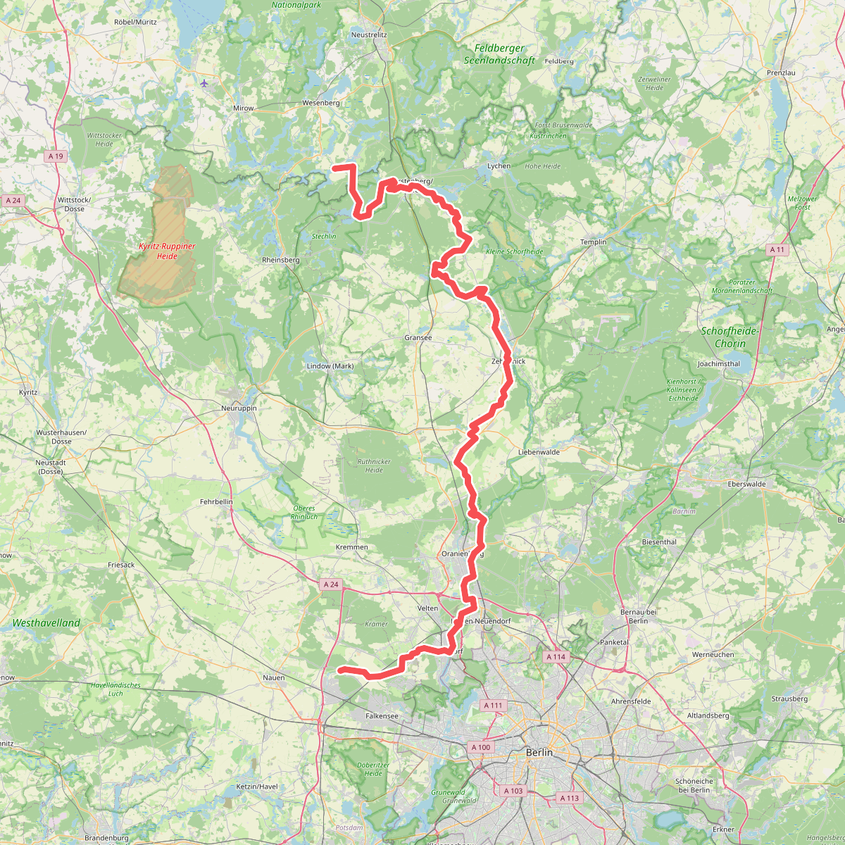
#4. European hiking path E10, Germany, Alternative
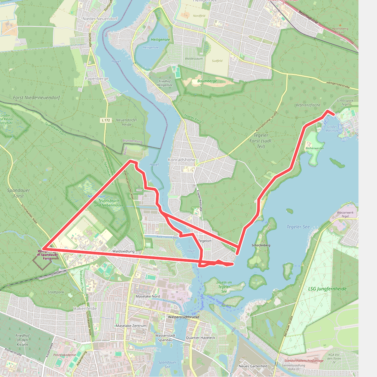
#5. Grüner Balken Johannesstift - S-Bhf. Hermsdorf
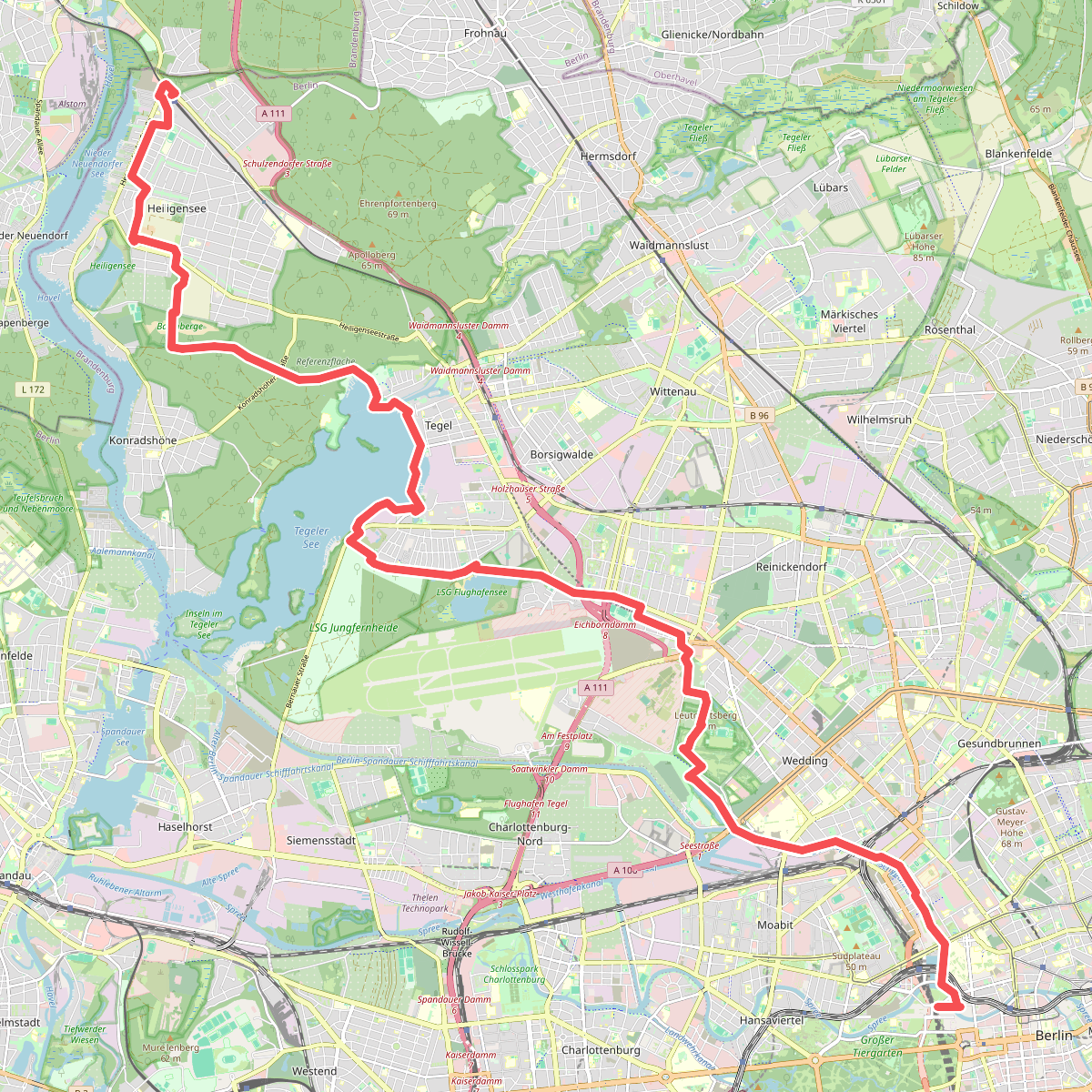
#6. Heiligenseer Weg
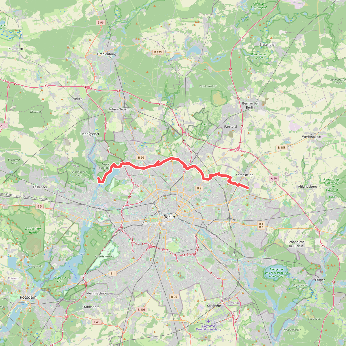
#7. Humboldt-Spur
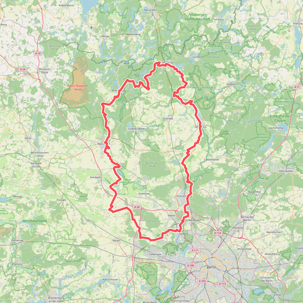
#8. Ruppiner Land-Rundweg (Blauer Punkt)
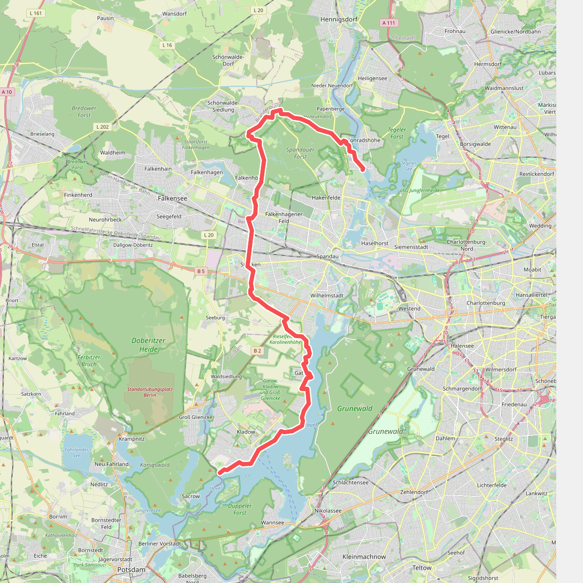
#9. Spandauer Weg