

The best hiking routes in Sutten und Umgebung
Discover the best walks in Sutten und Umgebung. 9 routes on the map, with descriptions, photos and GPX.
About Sutten und Umgebung
Sutten und Umgebung offers a distinct walking landscape shaped by the transition from forested mountain slopes to the wet, marshy meadows of the Sutten basin. Unlike the dry, rocky ridges nearby, this area is defined by its damp soils, peat formations, and the presence of the Suttensee. Walkers will notice how the dense spruce and mixed mountain forests give way to open, waterlogged pastures. The terrain is gently sloping rather than ruggedly alpine, making it suitable for those who prefer steady, moderate climbs over steep, exposed scrambles.
Read more
About Sutten und Umgebung
Sutten und Umgebung offers a distinct walking landscape shaped by the transition from forested mountain slopes to the wet, marshy meadows of the Sutten basin. Unlike the dry, rocky ridges nearby, this area is defined by its damp soils, peat formations, and the presence of the Suttensee. Walkers will notice how the dense spruce and mixed mountain forests give way to open, waterlogged pastures. The terrain is gently sloping rather than ruggedly alpine, making it suitable for those who prefer steady, moderate climbs over steep, exposed scrambles.
Read moreSutten und Umgebung offers a distinct walking landscape shaped by the transition from forested mountain slopes to the wet, marshy meadows of the Sutten basin. Unlike the dry, rocky ridges nearby, this area is defined by its damp soils, peat formations, and the presence of the Suttensee. Walkers will notice how the dense spruce and mixed mountain forests give way to open, waterlogged pastures. The terrain is gently sloping rather than ruggedly alpine, making it suitable for those who prefer steady, moderate climbs over steep, exposed scrambles.
Underfoot, the paths vary from soft, needle-covered forest tracks to damp gravel roads and occasional boardwalks designed to protect the sensitive wetland areas. In late spring, around May, the meadows are particularly distinctive as the marsh marigolds and wet-meadow flora bloom, contrasting with the dark forest borders. The area is not a place for wide, dry sand dunes or deep gorges, but rather a enclosed mountain basin where water shapes the vegetation and the path surface.
Because of its accessibility, the main paths around the lake and the local mountain inns can become busy, especially on weekends. Those seeking a quieter walk should head onto the steeper forest tracks that climb towards the surrounding ridges. The landscape here is easy to read, showing a clear pattern of forestry on the higher slopes and traditional alpine pasture management in the wet valley bottom.
Hiking routes in Sutten und Umgebung (9)
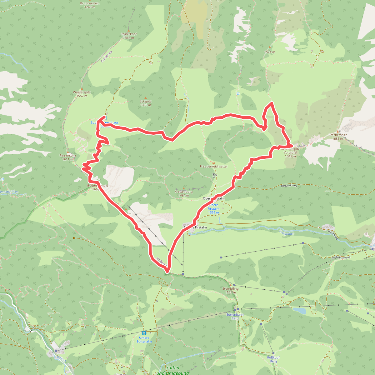
#1. Alpiner Premiumwanderweg Spitzing Panorama
Schliersee,Rottach-Egern
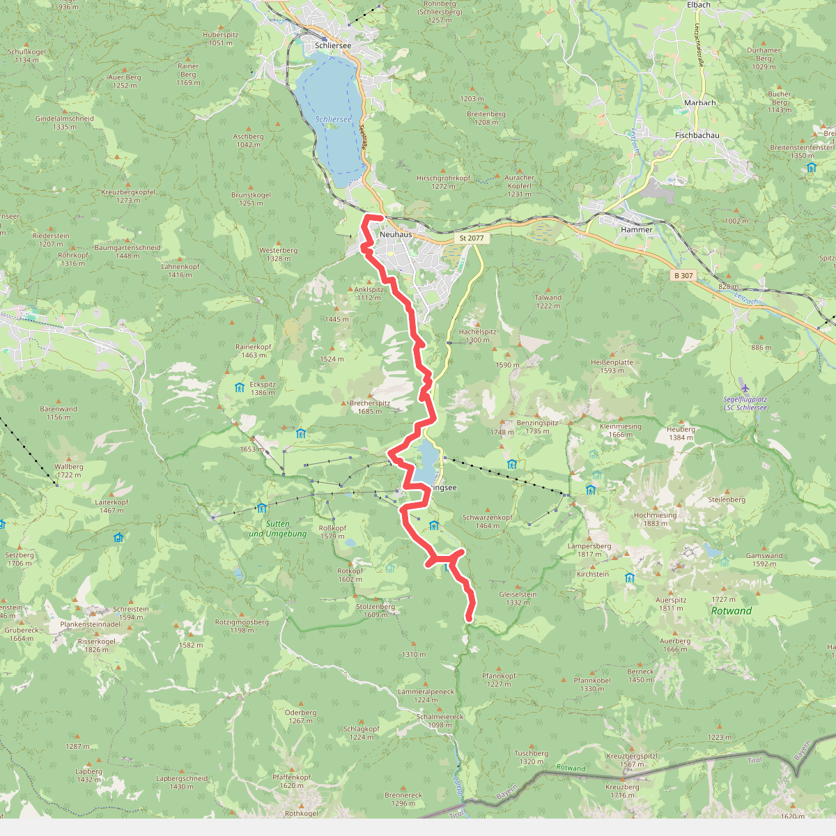
#2. Bockerlbahn-Weg
Schliersee
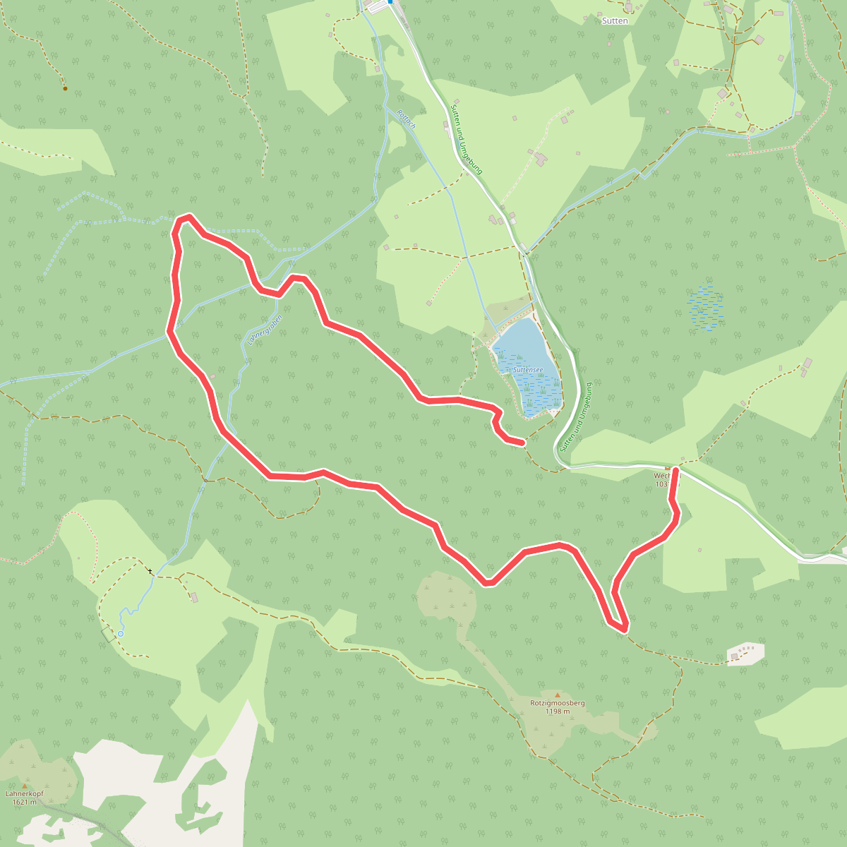
#3. Heilklimawalking 5
Rottach-Egern
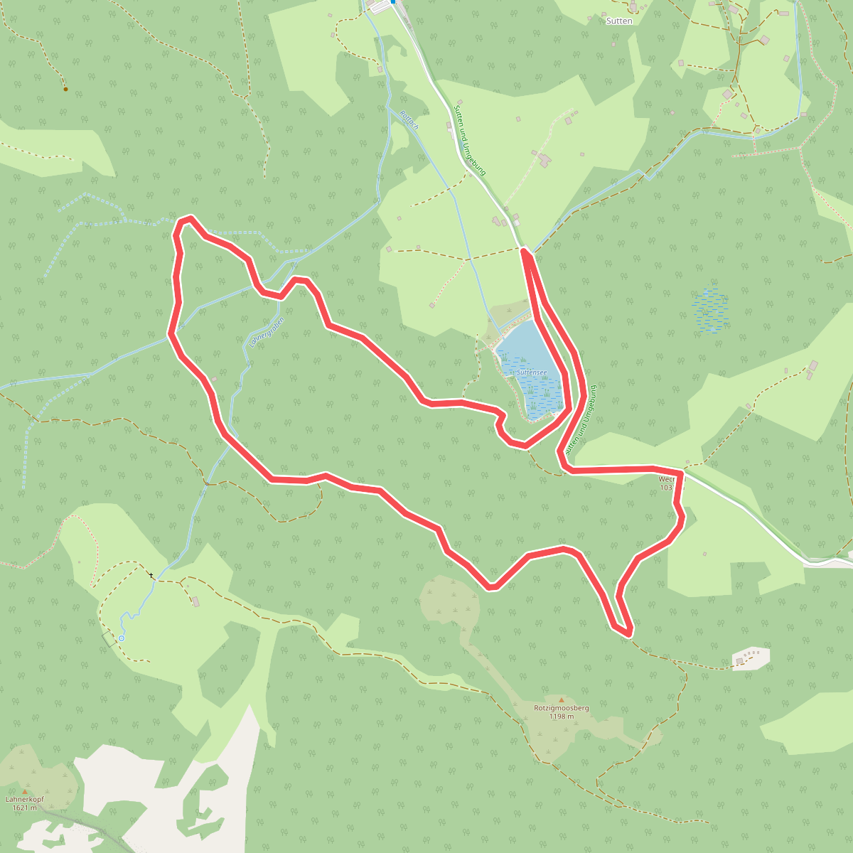
#4. Rundweg 1 1/2 Std Sutten
Rottach-Egern
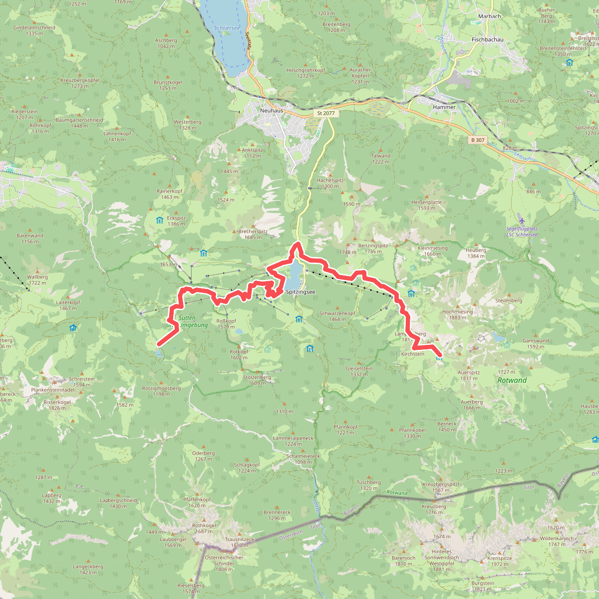
#5. Via Alpina Purple A53
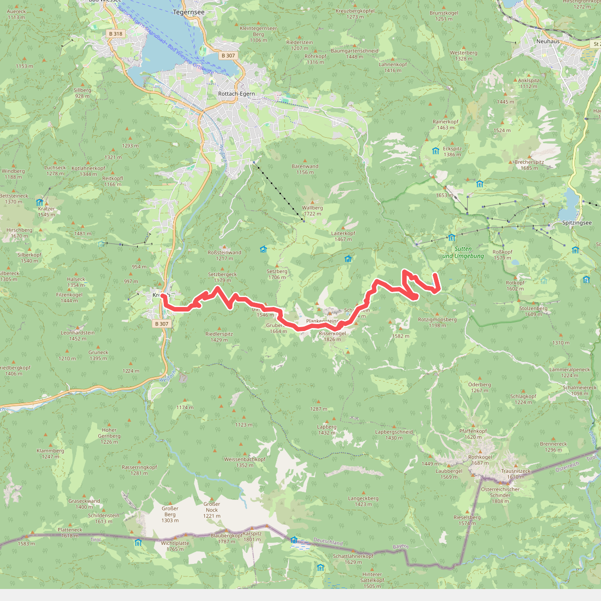
#6. Via Alpina Purple A54
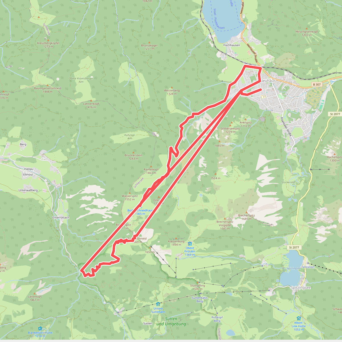
#7. Wanderweg 626 - Schliersee/Spitzingsee
Schliersee,Rottach-Egern
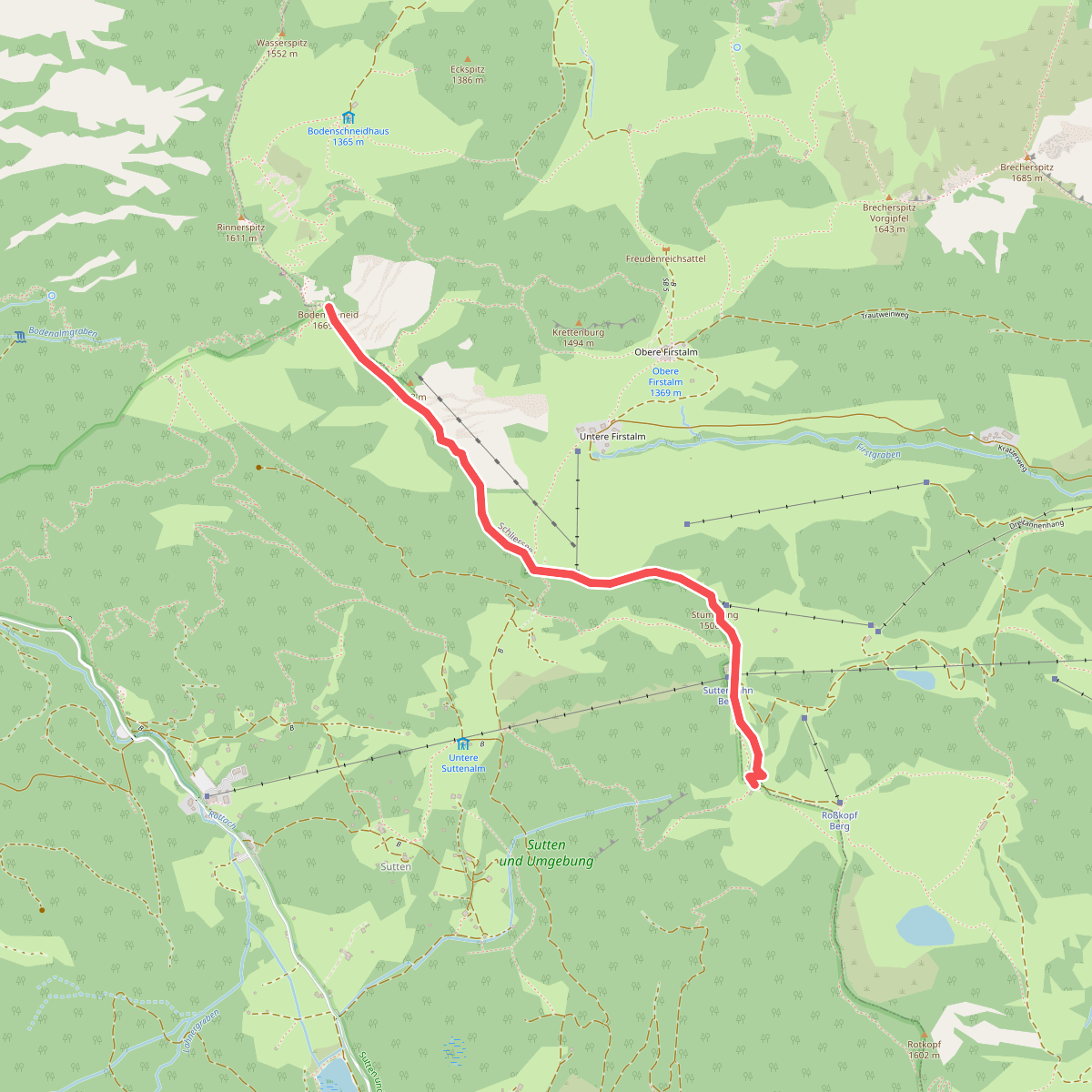
#8. Wanderweg 634 - Spitzingsee
Schliersee,Rottach-Egern
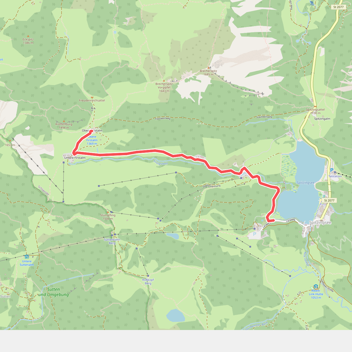
#9. Wanderweg 637a - Spitzingsee
Schliersee



