The best hiking routes in Suffolk and Essex Coast and Heaths National Landscape
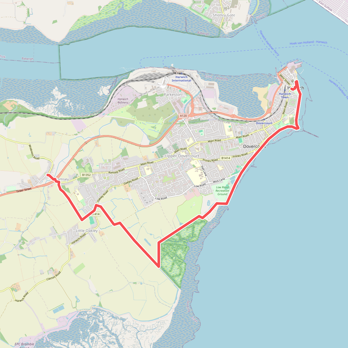
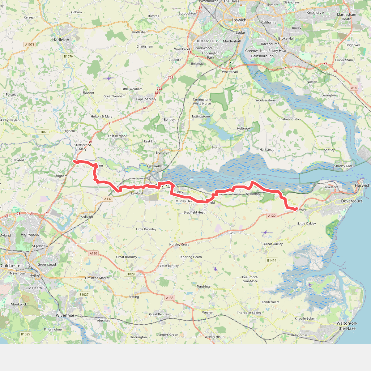
Discover the best walks in Suffolk and Essex Coast and Heaths National Landscape. 2 routes on the map, with descriptions, photos and GPX.
About Suffolk and Essex Coast and Heaths National Landscape
The Suffolk and Essex Coast and Heaths National Landscape is a low-lying maritime strip where the North Sea meets a series of wide river estuaries. This is not a country of dramatic cliffs or deep valleys, but rather a subtle, horizontal landscape of shingle beaches, saltmarshes, and low crumbling clay cliffs. Walkers will notice a distinct transition between the exposed, shingle-dominated shoreline and the sheltered, wooded estuaries that cut deep inland.
Read more
About Suffolk and Essex Coast and Heaths National Landscape
The Suffolk and Essex Coast and Heaths National Landscape is a low-lying maritime strip where the North Sea meets a series of wide river estuaries. This is not a country of dramatic cliffs or deep valleys, but rather a subtle, horizontal landscape of shingle beaches, saltmarshes, and low crumbling clay cliffs. Walkers will notice a distinct transition between the exposed, shingle-dominated shoreline and the sheltered, wooded estuaries that cut deep inland.
Read moreThe Suffolk and Essex Coast and Heaths National Landscape is a low-lying maritime strip where the North Sea meets a series of wide river estuaries. This is not a country of dramatic cliffs or deep valleys, but rather a subtle, horizontal landscape of shingle beaches, saltmarshes, and low crumbling clay cliffs. Walkers will notice a distinct transition between the exposed, shingle-dominated shoreline and the sheltered, wooded estuaries that cut deep inland.
Underfoot, the terrain varies from loose, shifting shingle along the coastal spits to soft sand and pine needles on the inland heathland tracks. Low-lying marshy sections are often crossed via wooden boardwalks, while the river walls offer flat, grassy paths raised above the high-tide mark. In late August and September, the dry Dunwich heathland turns a deep purple with flowering heather, contrasting with the grey-green saltmarshes that are submerged twice daily by the tides.
Because the area is shaped by water, routes are dictated by the estuaries of the Alde, Deben, and Stour. Without a ferry or a long detour inland to the first bridge, linear coastal walks are frequently interrupted by these wide river mouths. The landscape is a working one, where quiet reedbeds and mudflats sit alongside active fishing harbours and historic military test sites, meaning walkers will often hear the calls of wading birds mixed with the distant hum of coastal shipping.