The best hiking routes in Skardsfjella og Hyllingsdalen landskapsvernområde
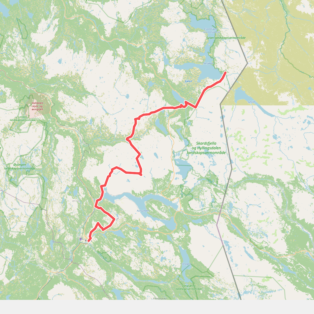
Discover the best walks in Skardsfjella og Hyllingsdalen landskapsvernområde. 1 routes on the map, with descriptions, photos and GPX.
Managed by Verneområdestyret for Skardsfjella-Hyllingsdalen landskapsvernområde
About Skardsfjella og Hyllingsdalen landskapsvernområde
Skardsfjella og Hyllingsdalen landskapsvernområde offers a transition from open, rolling mountain plateaus to sheltered birch-forested valleys. Unlike the steep, jagged peaks found closer to the western coast of Norway, this protected area is characterized by rounded summits, broad ridges, and wide, shallow depressions. The landscape is dominated by the Skardsfjella mountain range, where barren, rocky terrain and alpine tundra prevail, while the lower-lying Hyllingsdalen valley features a softer landscape of bogs, mires, and dense mountain birch.
Read more
About Skardsfjella og Hyllingsdalen landskapsvernområde
Skardsfjella og Hyllingsdalen landskapsvernområde offers a transition from open, rolling mountain plateaus to sheltered birch-forested valleys. Unlike the steep, jagged peaks found closer to the western coast of Norway, this protected area is characterized by rounded summits, broad ridges, and wide, shallow depressions. The landscape is dominated by the Skardsfjella mountain range, where barren, rocky terrain and alpine tundra prevail, while the lower-lying Hyllingsdalen valley features a softer landscape of bogs, mires, and dense mountain birch.
Read moreSkardsfjella og Hyllingsdalen landskapsvernområde offers a transition from open, rolling mountain plateaus to sheltered birch-forested valleys. Unlike the steep, jagged peaks found closer to the western coast of Norway, this protected area is characterized by rounded summits, broad ridges, and wide, shallow depressions. The landscape is dominated by the Skardsfjella mountain range, where barren, rocky terrain and alpine tundra prevail, while the lower-lying Hyllingsdalen valley features a softer landscape of bogs, mires, and dense mountain birch.
Underfoot, walkers will encounter a mix of terrain types depending on their elevation. The lower valley sections are dominated by peat and wet heath, where the ground can be soft and spongy, occasionally requiring detours around boggy depressions. As you ascend toward the higher plateaus, the vegetation thins out, replaced by dry, stony ground, lichen-covered boulder fields, and gravelly ridges. There are few built structures or boardwalks here, meaning walkers must be prepared to navigate natural, uneven ground and find their own footing.
In late August and September, the dwarf birch and willow shrubs across the plateaus turn a deep yellow and red, contrasting sharply with the grey stone of the higher ridges. The area is generally quieter than the nearby national parks, attracting those who prefer self-reliance over highly developed trail networks. Walkers should expect a landscape defined by its vast, horizontal scale rather than dramatic vertical drops, where the primary challenge is navigating the undulating, pathless terrain.