The best hiking routes in Sito di Importanza Comunitaria Monti Vulsini
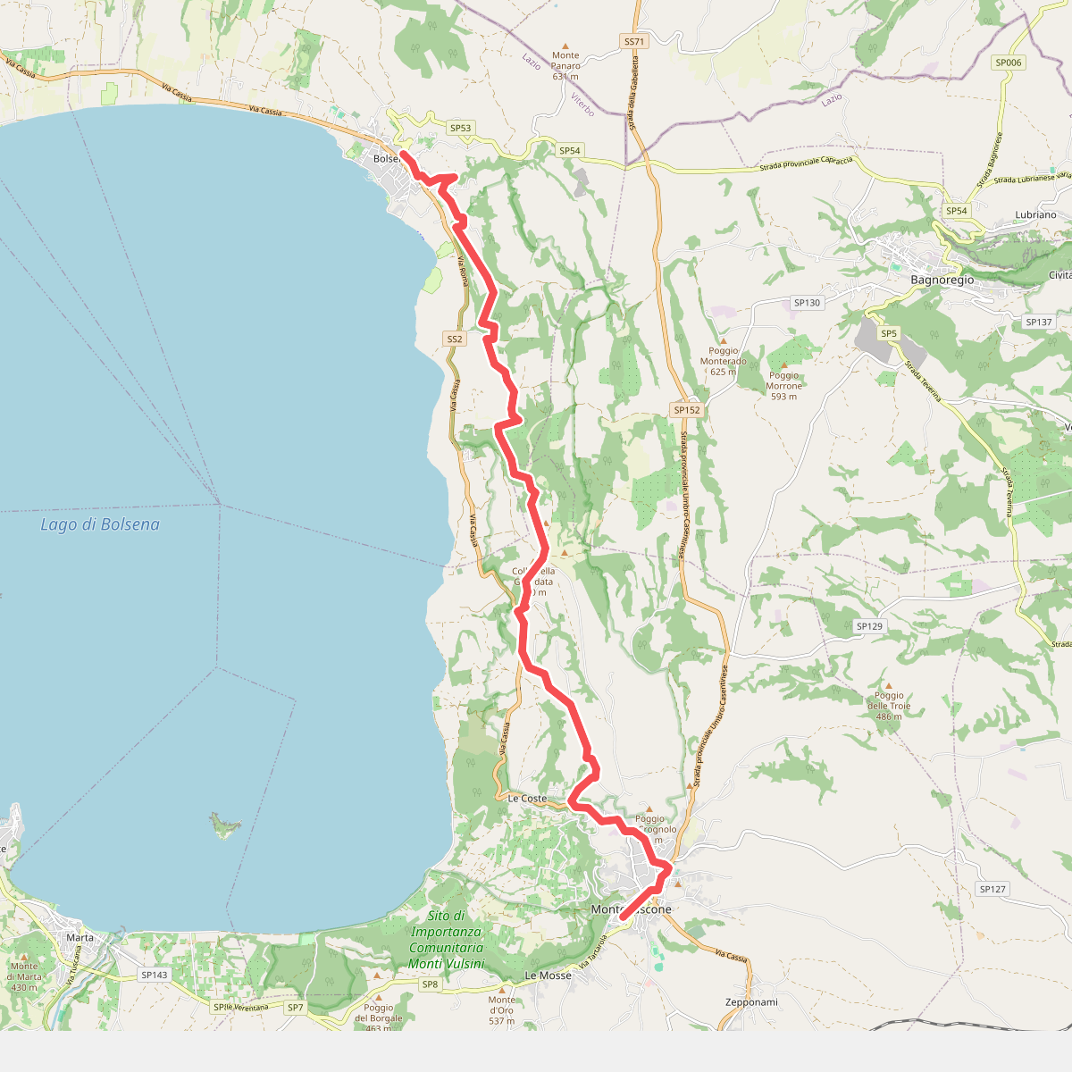
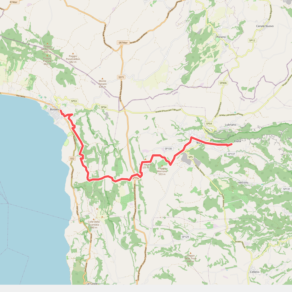
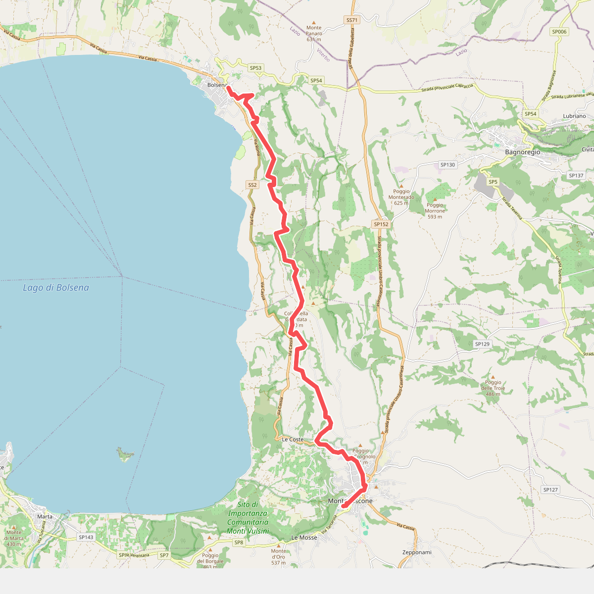
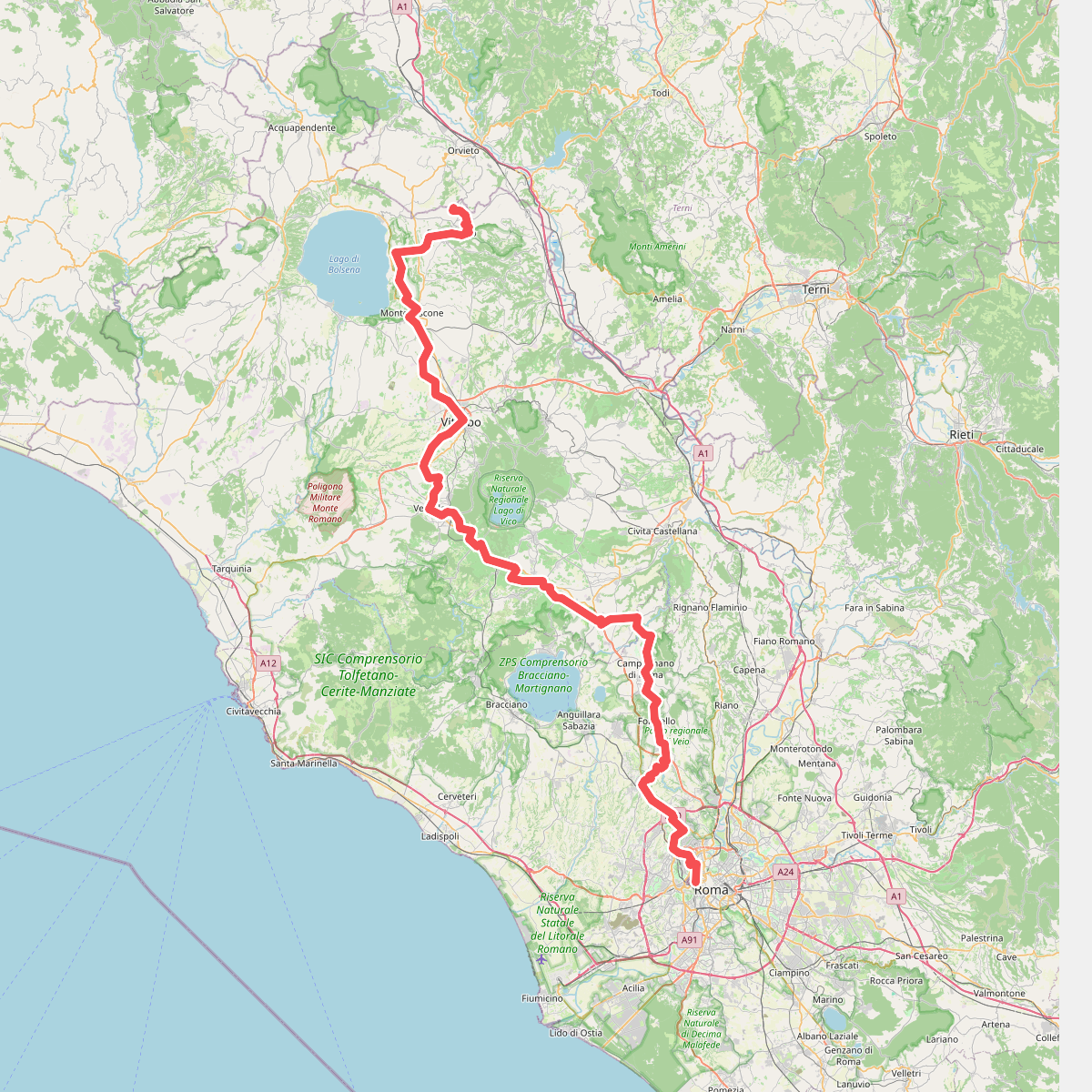
Discover the best walks in Sito di Importanza Comunitaria Monti Vulsini. 4 routes on the map, with descriptions, photos and GPX.
About Sito di Importanza Comunitaria Monti Vulsini
Sito di Importanza Comunitaria Monti Vulsini offers a landscape shaped entirely by its volcanic past, though you will not find dramatic, jagged peaks here. Instead, the terrain consists of gently rolling hills, deep tufa gorges, and agricultural plateaus that slope down toward the northern rim of Lake Bolsena. The high clay and volcanic ash content in the soil means the ground underfoot alternates between dusty, packed dirt tracks on the ridges and softer, easily rutted earth in the shaded valleys.
Read more
About Sito di Importanza Comunitaria Monti Vulsini
Sito di Importanza Comunitaria Monti Vulsini offers a landscape shaped entirely by its volcanic past, though you will not find dramatic, jagged peaks here. Instead, the terrain consists of gently rolling hills, deep tufa gorges, and agricultural plateaus that slope down toward the northern rim of Lake Bolsena. The high clay and volcanic ash content in the soil means the ground underfoot alternates between dusty, packed dirt tracks on the ridges and softer, easily rutted earth in the shaded valleys.
Read moreSito di Importanza Comunitaria Monti Vulsini offers a landscape shaped entirely by its volcanic past, though you will not find dramatic, jagged peaks here. Instead, the terrain consists of gently rolling hills, deep tufa gorges, and agricultural plateaus that slope down toward the northern rim of Lake Bolsena. The high clay and volcanic ash content in the soil means the ground underfoot alternates between dusty, packed dirt tracks on the ridges and softer, easily rutted earth in the shaded valleys.
Walking through this area reveals a distinct contrast between the dry, exposed ridges dominated by olive groves or chestnut woods and the humid, overgrown ravines where ferns and mosses thrive. The paths are mostly unpaved agricultural tracks and old forestry trails, which can become sticky and heavy after wet weather. You will frequently encounter ancient hollow roads cut directly into the soft tufa rock, offering cool, shaded passages even during the warmer summer months.
This is a working rural landscape where nature reserves blend directly with traditional farming. While the lakeside fringes and major archaeological points of interest attract more visitors, the interior woodland tracks remain quiet and are mostly used by local farmers and woodcutters. It is a place for quiet, self-guided exploration along unmarked paths rather than structured hiking trails with extensive visitor facilities.