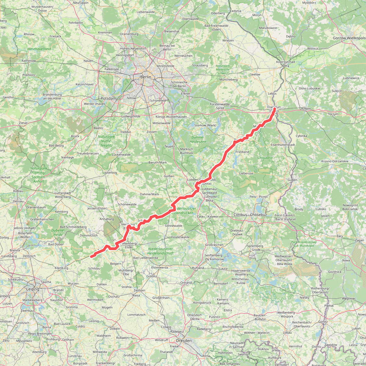
The best hiking routes in Schlaubetal
Discover the best walks in Schlaubetal. 1 routes on the map, with descriptions, photos and GPX.
Managed by Land Brandenburg
About Schlaubetal
Schlaubetal is a forested valley in eastern Brandenburg shaped by glacial meltwaters, where the small Schlaube River winds through a series of lakes, alder fens, and steep-sided ravines. Unlike the flat pine monocultures common in the surrounding region, this area features a mixed canopy of ancient beeches and oaks clinging to the slopes. The landscape is defined by this contrast between the dry, sandy forest floors on the upper ridges and the damp, peat-rich soils of the valley bottom.
Read more
About Schlaubetal
Schlaubetal is a forested valley in eastern Brandenburg shaped by glacial meltwaters, where the small Schlaube River winds through a series of lakes, alder fens, and steep-sided ravines. Unlike the flat pine monocultures common in the surrounding region, this area features a mixed canopy of ancient beeches and oaks clinging to the slopes. The landscape is defined by this contrast between the dry, sandy forest floors on the upper ridges and the damp, peat-rich soils of the valley bottom.
Read moreSchlaubetal is a forested valley in eastern Brandenburg shaped by glacial meltwaters, where the small Schlaube River winds through a series of lakes, alder fens, and steep-sided ravines. Unlike the flat pine monocultures common in the surrounding region, this area features a mixed canopy of ancient beeches and oaks clinging to the slopes. The landscape is defined by this contrast between the dry, sandy forest floors on the upper ridges and the damp, peat-rich soils of the valley bottom.
Walkers will find a network of narrow, dirt paths that trace the water's edge, occasionally transitioning to wooden boardwalks over the boggiest sections. The terrain is gently undulating rather than mountainous, with short, steep climbs up the ravine banks rather than long ascents. Underfoot, the ground alternates between soft leaf litter, exposed tree roots, and sandy tracks, requiring steady footing but no specialized climbing gear.
In October, the beech canopy turns a deep copper, reflecting in the dark, slow-moving waters of the Schlaube. While the areas near the historic watermills like Kupferhammer and Ragower Mühle attract more visitors, the paths stretching between these points offer a quieter, more enclosed woodland experience. There are no wide-open horizons here; the view is almost always framed by dense woodland and the immediate river corridor.