The best hiking routes in Salantų regioninis parkas
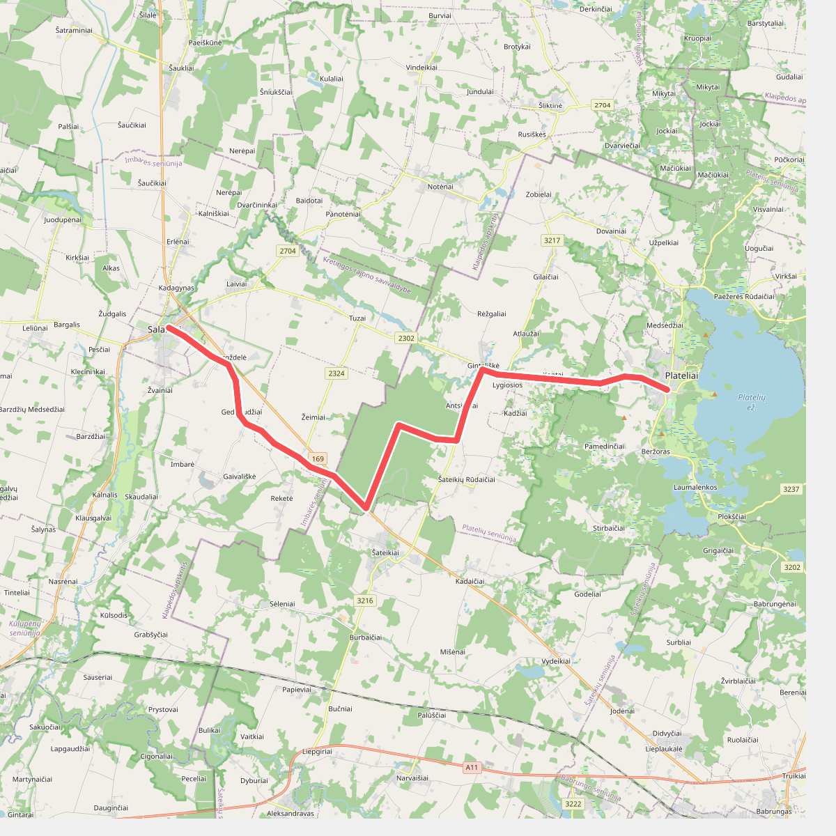
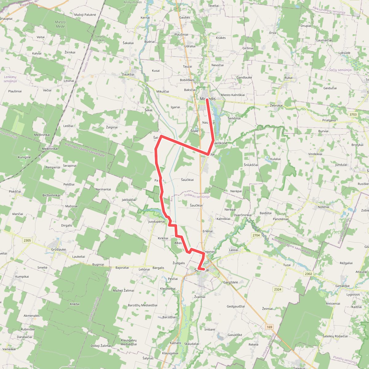
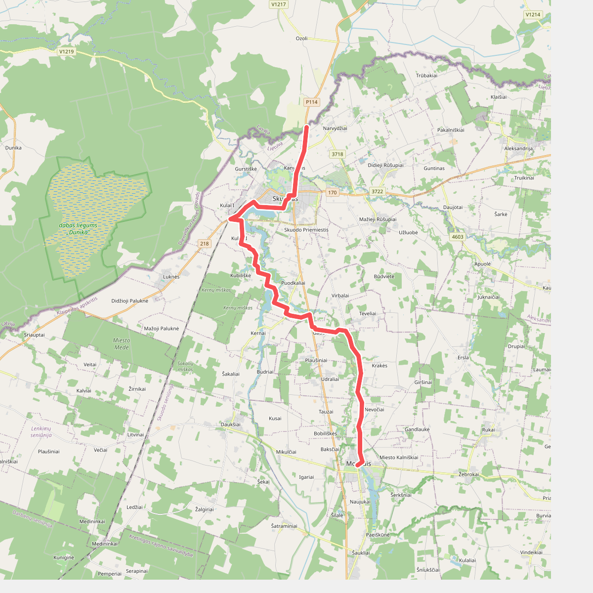
Discover the best walks in Salantų regioninis parkas. 3 routes on the map, with descriptions, photos and GPX.
About Salantų regioninis parkas
Salantų regioninis parkas is defined by the deep, winding valleys of the Minija, Salantas, and Erla rivers, which cut through the gently rolling plains of western Lithuania. Unlike flat marshy reserves, this park offers a landscape of steep riverbanks, terraced slopes, and exposed boulder fields left behind by retreating glaciers. Walkers will notice a distinct contrast between the dry, pine-forested valley ridges and the damp, lush meadows of the floodplains below.
Read more
About Salantų regioninis parkas
Salantų regioninis parkas is defined by the deep, winding valleys of the Minija, Salantas, and Erla rivers, which cut through the gently rolling plains of western Lithuania. Unlike flat marshy reserves, this park offers a landscape of steep riverbanks, terraced slopes, and exposed boulder fields left behind by retreating glaciers. Walkers will notice a distinct contrast between the dry, pine-forested valley ridges and the damp, lush meadows of the floodplains below.
Read moreSalantų regioninis parkas is defined by the deep, winding valleys of the Minija, Salantas, and Erla rivers, which cut through the gently rolling plains of western Lithuania. Unlike flat marshy reserves, this park offers a landscape of steep riverbanks, terraced slopes, and exposed boulder fields left behind by retreating glaciers. Walkers will notice a distinct contrast between the dry, pine-forested valley ridges and the damp, lush meadows of the floodplains below.
Underfoot, the terrain varies from soft forest soil and sandy tracks along the ridges to damp, grassy paths near the riverbeds. Several sections feature wooden boardwalks to help cross the wettest riverside meadows, though natural, uneven dirt trails remain the norm. The park is home to the Šaukliai boulder land, where a vast field of stones sits amidst juniper scrub, creating a tundra-like environment that feels entirely different from the surrounding agricultural lands.
This is a place for quiet, self-guided exploration rather than high-altitude hiking. While well-known spots like the Kartena hillfort can attract local visitors, much of the river valleys remain peaceful. Walkers should expect moderate elevation changes along the river terraces rather than steep climbs, with the landscape offering a close-up view of geological history written in stone and water.