

The best hiking routes in Saccarello - Garlenda
Discover the best walks in Saccarello - Garlenda. 6 routes on the map, with descriptions, photos and GPX.
Managed by Ente Parco delle Alpi Liguri
About Saccarello - Garlenda
Saccarello - Garlenda spans a high-altitude limestone ridge in the Ligurian Alps, where the landscape transitions sharply between steep, grassy northern slopes and rocky, shrub-covered southern exposures. Walkers here will find themselves on a mix of old military dirt roads, narrow dirt singletracks, and rough, stony paths that follow the main ridgeline. Unlike the lower, forested valleys nearby, this area is defined by open alpine pastures, dwarf juniper bushes, and exposed limestone outcrops that shape the walking terrain underfoot.
Read more
About Saccarello - Garlenda
Saccarello - Garlenda spans a high-altitude limestone ridge in the Ligurian Alps, where the landscape transitions sharply between steep, grassy northern slopes and rocky, shrub-covered southern exposures. Walkers here will find themselves on a mix of old military dirt roads, narrow dirt singletracks, and rough, stony paths that follow the main ridgeline. Unlike the lower, forested valleys nearby, this area is defined by open alpine pastures, dwarf juniper bushes, and exposed limestone outcrops that shape the walking terrain underfoot.
Read moreSaccarello - Garlenda spans a high-altitude limestone ridge in the Ligurian Alps, where the landscape transitions sharply between steep, grassy northern slopes and rocky, shrub-covered southern exposures. Walkers here will find themselves on a mix of old military dirt roads, narrow dirt singletracks, and rough, stony paths that follow the main ridgeline. Unlike the lower, forested valleys nearby, this area is defined by open alpine pastures, dwarf juniper bushes, and exposed limestone outcrops that shape the walking terrain underfoot.
Because of its position near the Mediterranean, the vegetation on these slopes is a distinct mix of alpine flora and maritime scrub. In June, the open meadows along the ridge are marked by alpine wildflowers, while the lower flanks feature dense beech woods. The paths are often uneven, with loose stones and bedrock requiring steady footing, particularly on the steeper ascents toward the main ridge. It is a working pastoral landscape, where you will regularly encounter grazing cattle and sheep alongside traditional stone shelters.
This area is best suited for those who prefer open, high-elevation walking without the jagged, glaciated peaks found further north. The terrain is characterized by long, grassy ridges and rounded summits rather than sheer rock walls. While the main dirt tracks are straightforward to follow, the smaller footpaths are often rugged and require careful navigation among the limestone pavement.
Hiking routes in Saccarello - Garlenda (6)
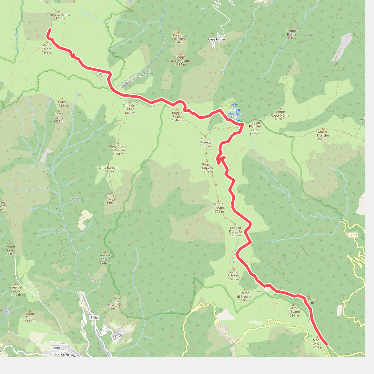
#1. AM2 - Alpi Mare 2
Mendatica,Montegrosso Pian Latte,Rezzo
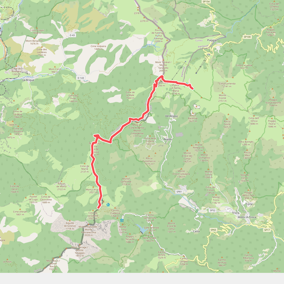
#2. Sella d'Agnaira - Sella della Valletta
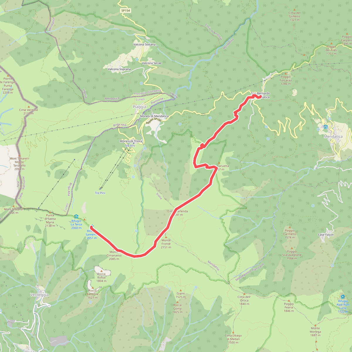
#3. Sella della Valletta - San Bernardo di Mendatica
Triora,Mendatica
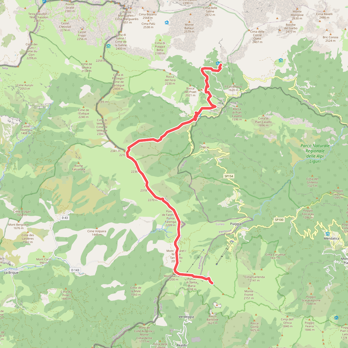
#4. Sentiero Italia · SI · SI
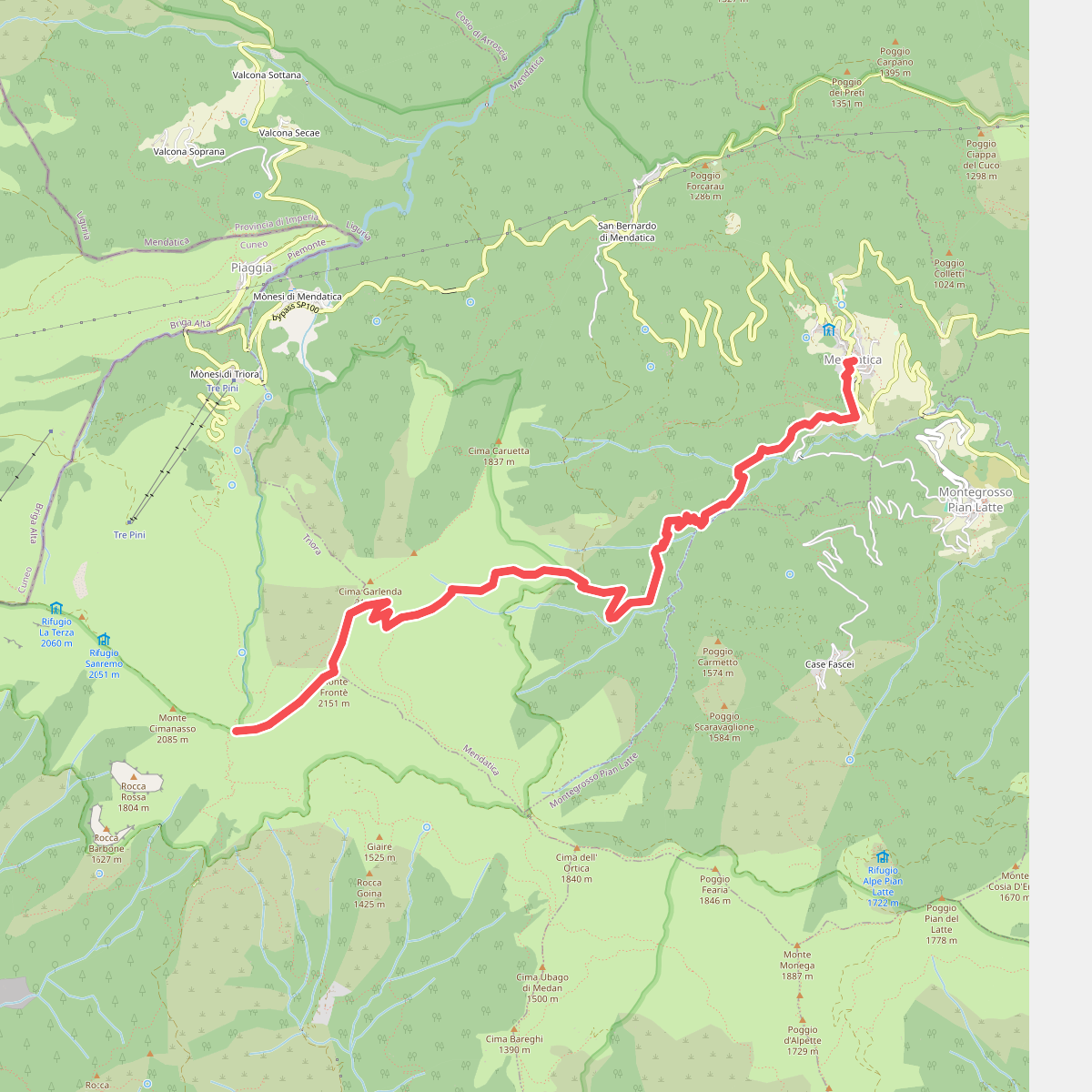
#5. Tappa 7-P.so Garlenda-Mendatica
Mendatica,Triora
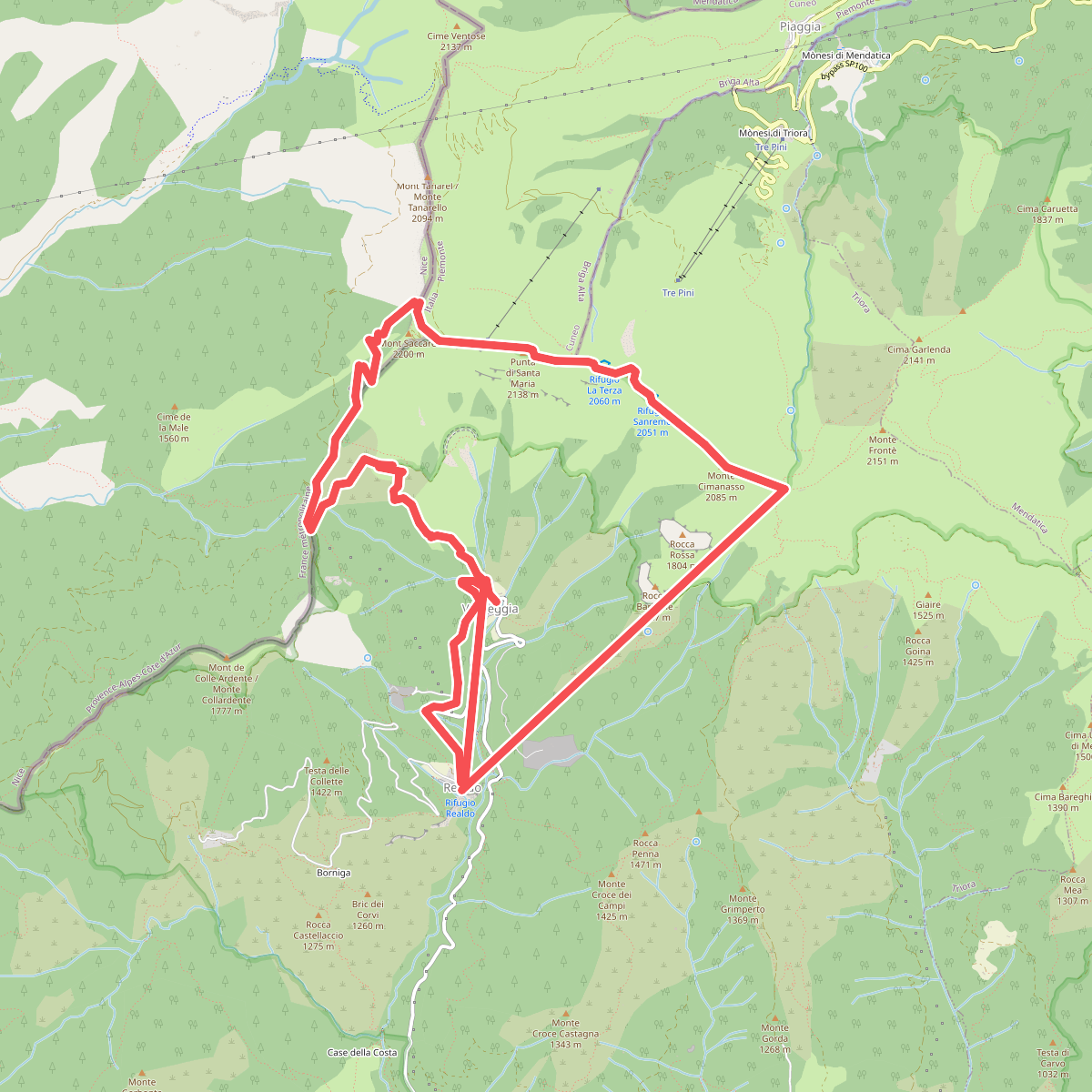
#6. Tappa6-Realdo-P.so Garlenda
Triora,La Brigue



