The best hiking routes in Riserva delle Cerbaie e del Padule di Fucecchio
Discover the best walks in Riserva delle Cerbaie e del Padule di Fucecchio. 7 routes on the map, with descriptions, photos and GPX.
About Riserva delle Cerbaie e del Padule di Fucecchio
The Riserva delle Cerbaie e del Padule di Fucecchio offers a stark contrast between two adjacent landscapes in northern Tuscany. To the north, the low, wooded hills of the Cerbaie rise gently, characterized by sandy tracks, deep ravines, and dense stands of oak and chestnut. Walking here feels enclosed and shaded, with the path underfoot alternating between soft sand and packed clay. This dry, undulating terrain suddenly drops down into the vast, flat basin of the Padule di Fucecchio, one of Italy's largest remaining inland wetlands.
Read more
About Riserva delle Cerbaie e del Padule di Fucecchio
The Riserva delle Cerbaie e del Padule di Fucecchio offers a stark contrast between two adjacent landscapes in northern Tuscany. To the north, the low, wooded hills of the Cerbaie rise gently, characterized by sandy tracks, deep ravines, and dense stands of oak and chestnut. Walking here feels enclosed and shaded, with the path underfoot alternating between soft sand and packed clay. This dry, undulating terrain suddenly drops down into the vast, flat basin of the Padule di Fucecchio, one of Italy's largest remaining inland wetlands.
Read moreThe Riserva delle Cerbaie e del Padule di Fucecchio offers a stark contrast between two adjacent landscapes in northern Tuscany. To the north, the low, wooded hills of the Cerbaie rise gently, characterized by sandy tracks, deep ravines, and dense stands of oak and chestnut. Walking here feels enclosed and shaded, with the path underfoot alternating between soft sand and packed clay. This dry, undulating terrain suddenly drops down into the vast, flat basin of the Padule di Fucecchio, one of Italy's largest remaining inland wetlands.
In the wetland sector, the landscape opens up completely. The sandy forest tracks of the hills are replaced by flat dirt embankments, grassy dikes, and wooden boardwalks that lead through extensive reed beds, canals, and shallow open water. This area is shaped by centuries of water management, visible in the network of drainage ditches and historic stone locks. The transition from the dry, acidic soils of the hills to the saturated peat and silt of the marshland dictates entirely different plant life and walking conditions within a short distance.
While the Cerbaie hills provide quiet, shaded woodland walks with occasional steep climbs out of damp gullies, the Padule is exposed and flat, offering clear views across the marsh to the distant Apennines. Spring and autumn bring significant shifts in water levels, transforming the marsh from a series of muddy channels into a broad sheet of water. Walkers should expect a mix of firm forest paths and potentially soft, grassy canal banks, requiring a choice between the sheltered, undulating woods or the wide, level wetland dikes.
Hiking routes in Riserva delle Cerbaie e del Padule di Fucecchio (7)
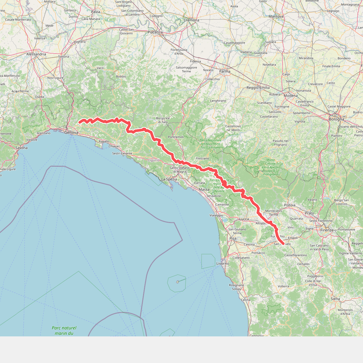
#1. Cammino di Assisi, Genova - San Miniato
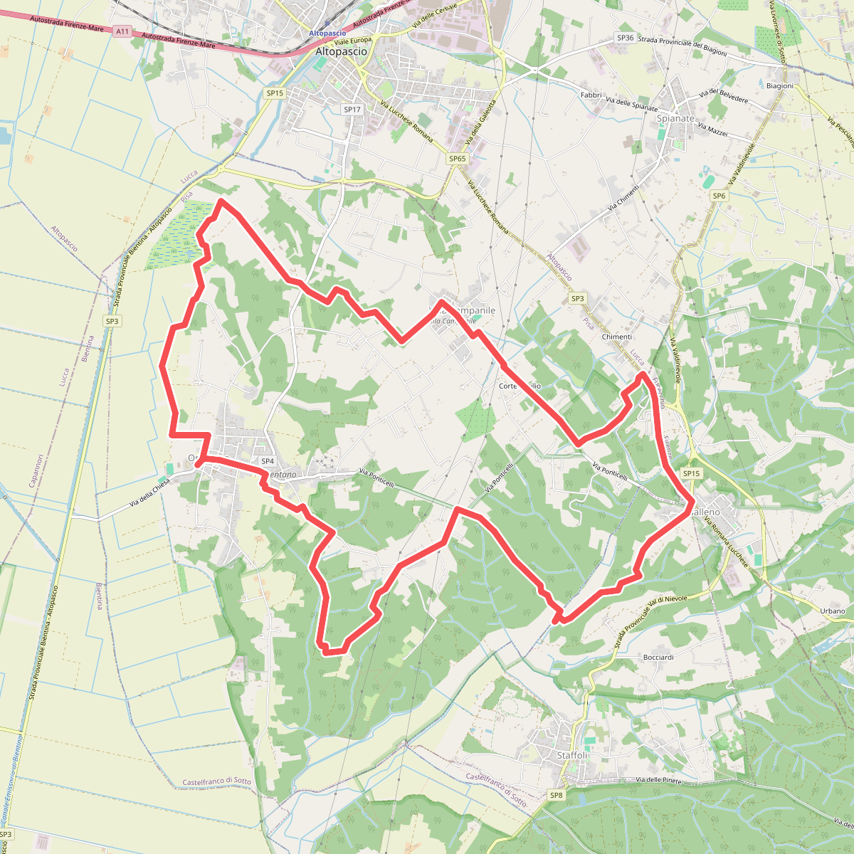
#2. Grande Anello di Orentano
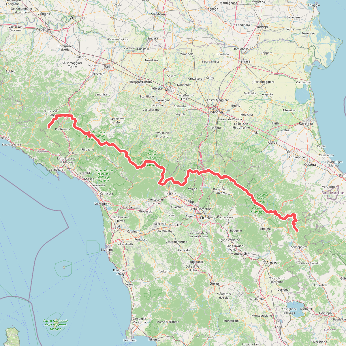
#3. Sentiero di spartiacque appenninico
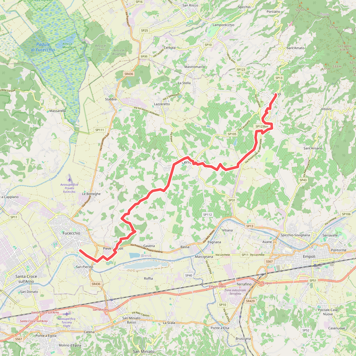
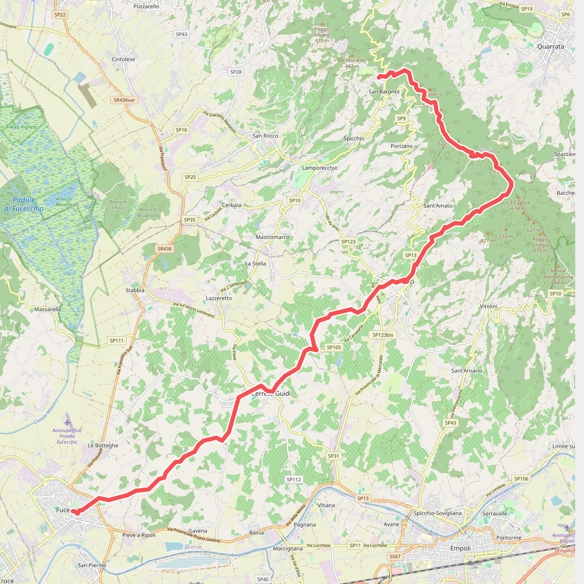
#4. Tappa 1 - Da Fucecchio a Vinci
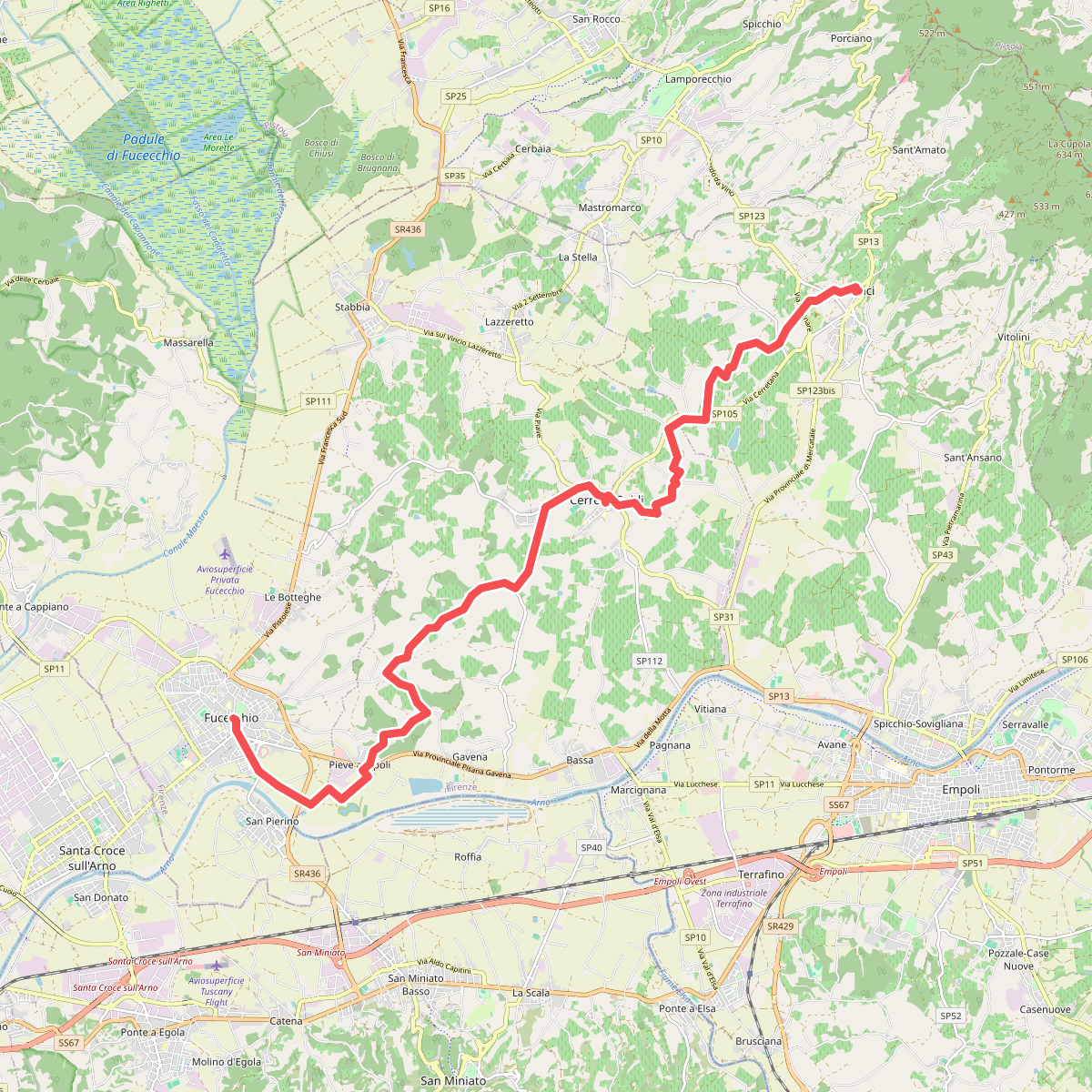
#5. Tappa 4: Vinci - Fucecchio
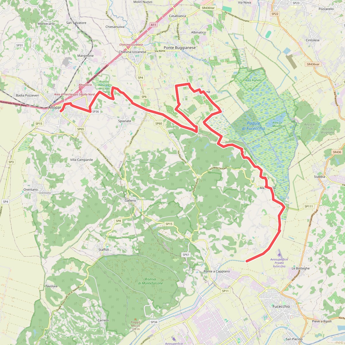
#6. Via Francigena - Variante d'acqua