

The best hiking routes in Pfrunger Ried und Seen bei Illmensee
Discover the best walks in Pfrunger Ried und Seen bei Illmensee. 21 routes on the map, with descriptions, photos and GPX.
About Pfrunger Ried und Seen bei Illmensee
Pfrunger Ried und Seen bei Illmensee offers a distinct contrast between open, marshy peatland and the wooded moraine hills that frame the basin. Walkers choosing this area should expect a flat, damp basin floor dominated by reed beds, wet meadows, and birch forests, which transitions into rolling gravel hills shaped by glacial retreat. The central bog areas are accessible via wooden boardwalks and gravel tracks, while the surrounding higher ground features firmer dirt paths through mixed woodland.
Read more
About Pfrunger Ried und Seen bei Illmensee
Pfrunger Ried und Seen bei Illmensee offers a distinct contrast between open, marshy peatland and the wooded moraine hills that frame the basin. Walkers choosing this area should expect a flat, damp basin floor dominated by reed beds, wet meadows, and birch forests, which transitions into rolling gravel hills shaped by glacial retreat. The central bog areas are accessible via wooden boardwalks and gravel tracks, while the surrounding higher ground features firmer dirt paths through mixed woodland.
Read morePfrunger Ried und Seen bei Illmensee offers a distinct contrast between open, marshy peatland and the wooded moraine hills that frame the basin. Walkers choosing this area should expect a flat, damp basin floor dominated by reed beds, wet meadows, and birch forests, which transitions into rolling gravel hills shaped by glacial retreat. The central bog areas are accessible via wooden boardwalks and gravel tracks, while the surrounding higher ground features firmer dirt paths through mixed woodland.
Underfoot, the terrain dictates your route choice. The low-lying core of the reserve requires staying on designated boardwalks to navigate the standing water and sensitive peat soils, making it ideal for those seeking level, structured walking. In contrast, the paths climbing the moraine ridges are steeper and consist of natural earth and gravel, offering elevated views over the reed beds rather than direct contact with the wetland habitat.
This landscape is defined by its post-glacial hydrology, which you can read in the sudden transitions from dark, acidic bog pools to dry, pine-covered gravel ridges. While the central boardwalks near the information points attract more visitors, the outer forest tracks on the hills are often quieter. There are no dramatic peaks or deep gorges here, only a quiet, water-logged basin that requires careful footwork on the wooden planks.
Hiking routes in Pfrunger Ried und Seen bei Illmensee (21)
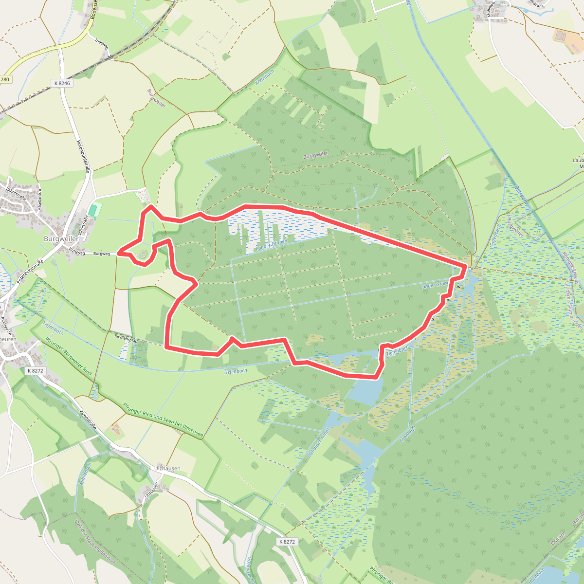
#1. Bannwald
Ostrach
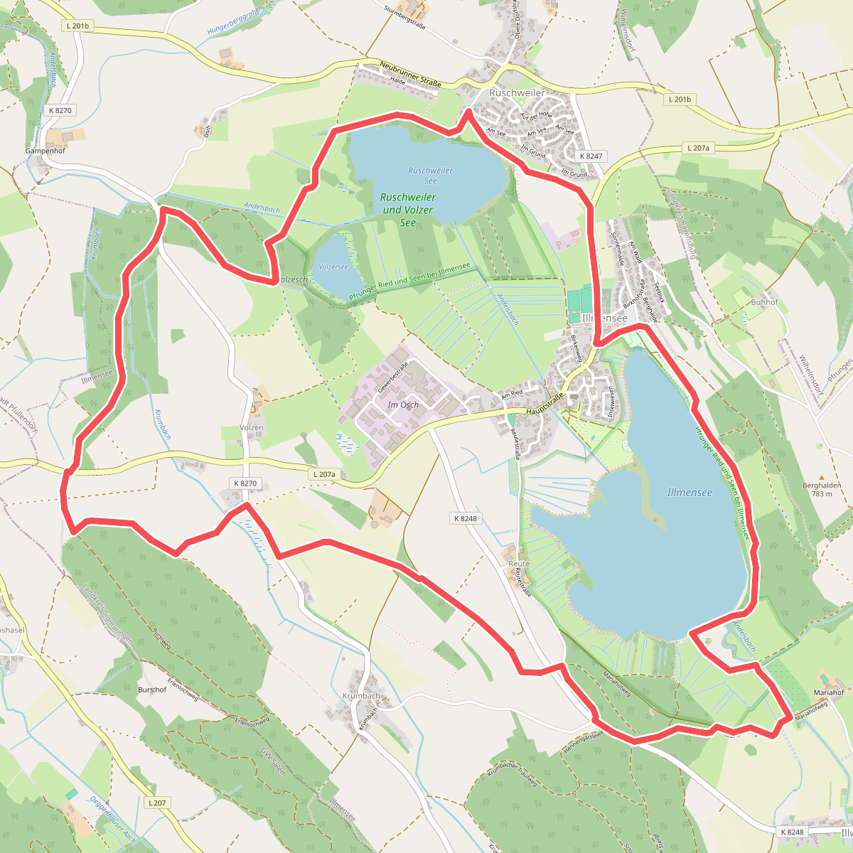
#2. Drei Seen Wanderung
Illmensee
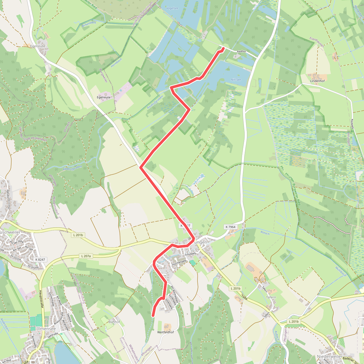
#3. Gemeindewanderweg 11
Wilhelmsdorf
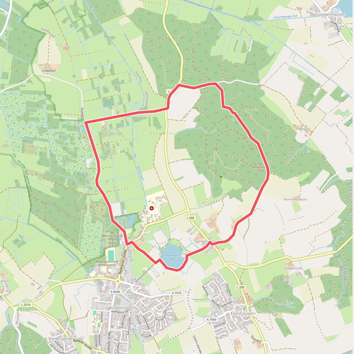
#4. Gemeindewanderweg 3
Wilhelmsdorf
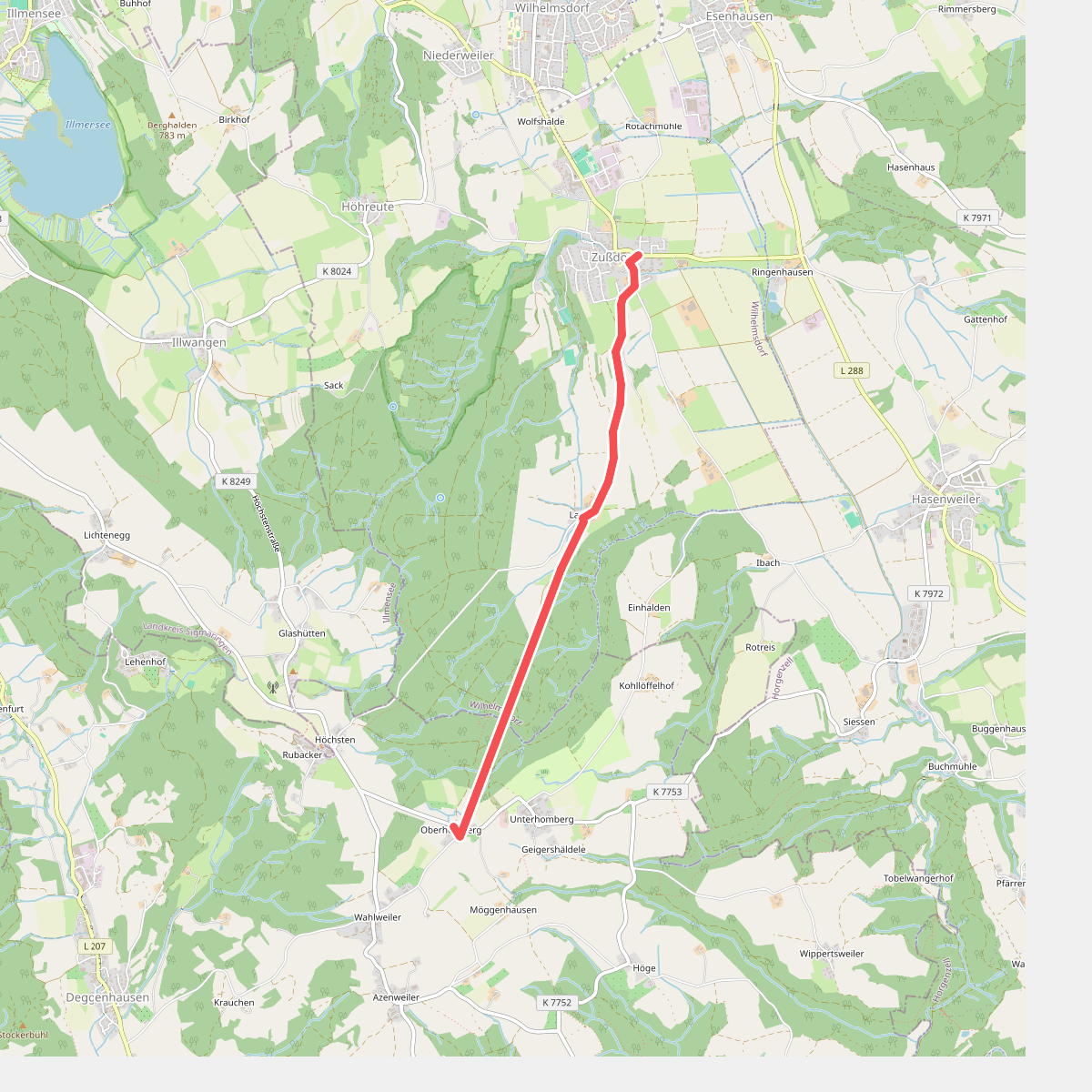
#5. Gemeindewanderweg 8
Wilhelmsdorf
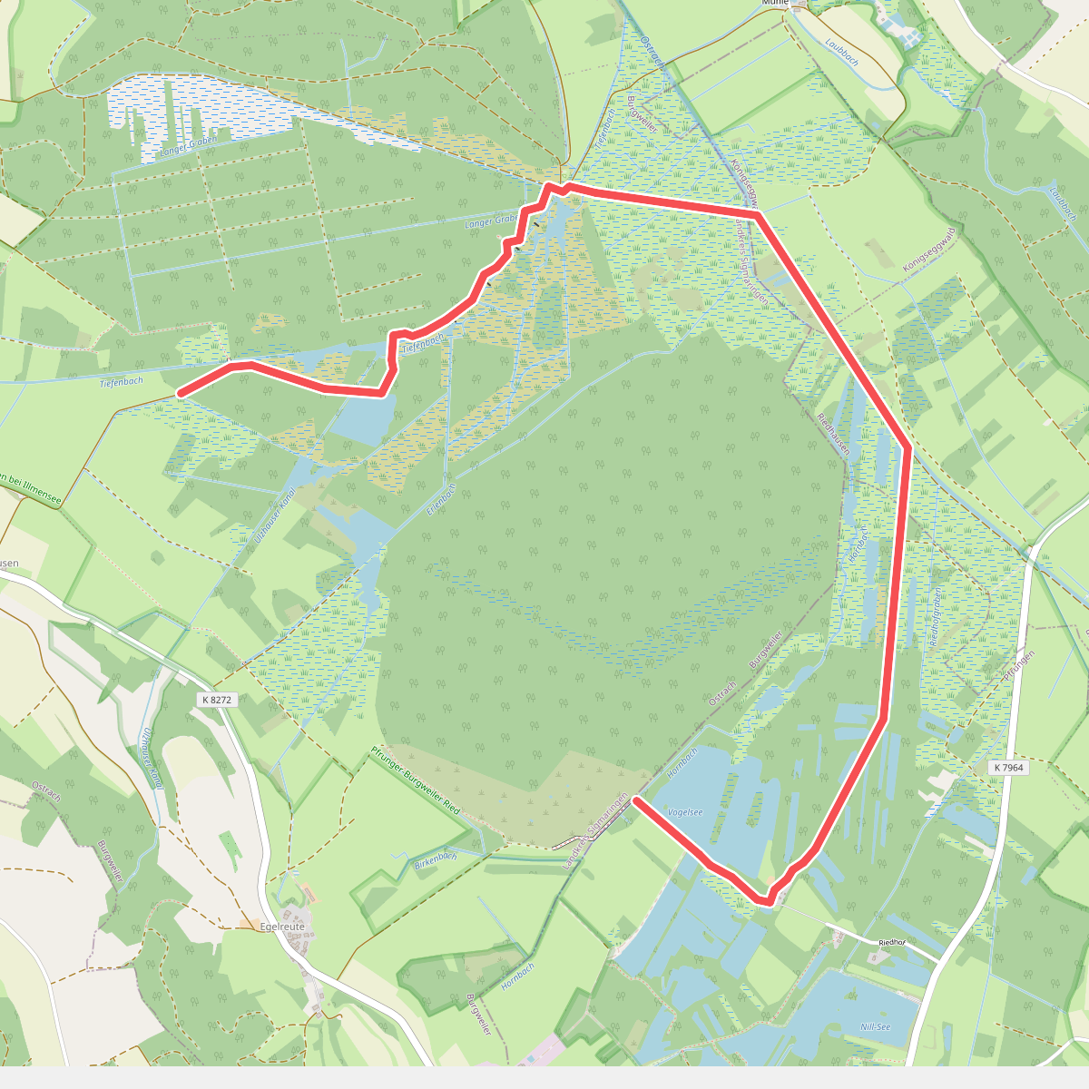
#6. Großer Trauben
Ostrach,Königseggwald,Riedhausen,Wilhelmsdorf
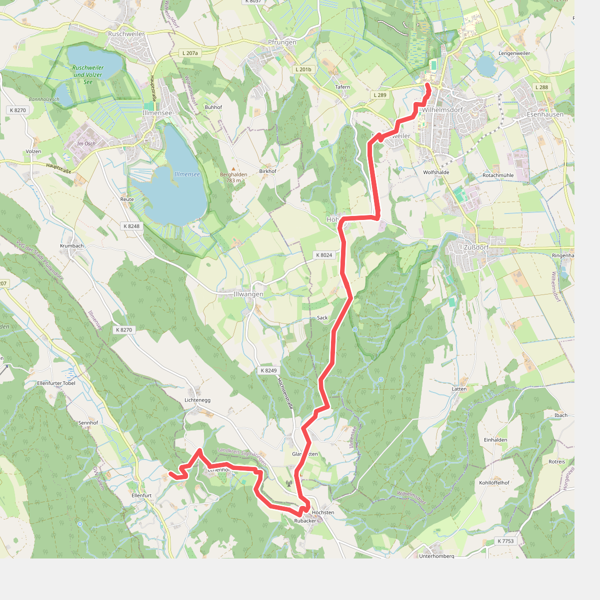
#7. Höchsten - Wilhelmsdorf
Wilhelmsdorf,Illmensee,Deggenhausertal
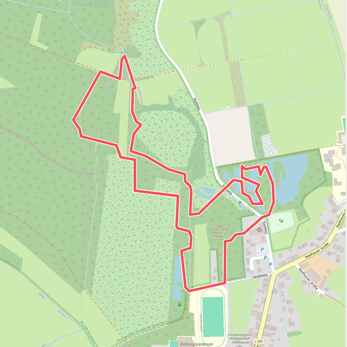
#8. Moor-Erlebnispfad
Wilhelmsdorf
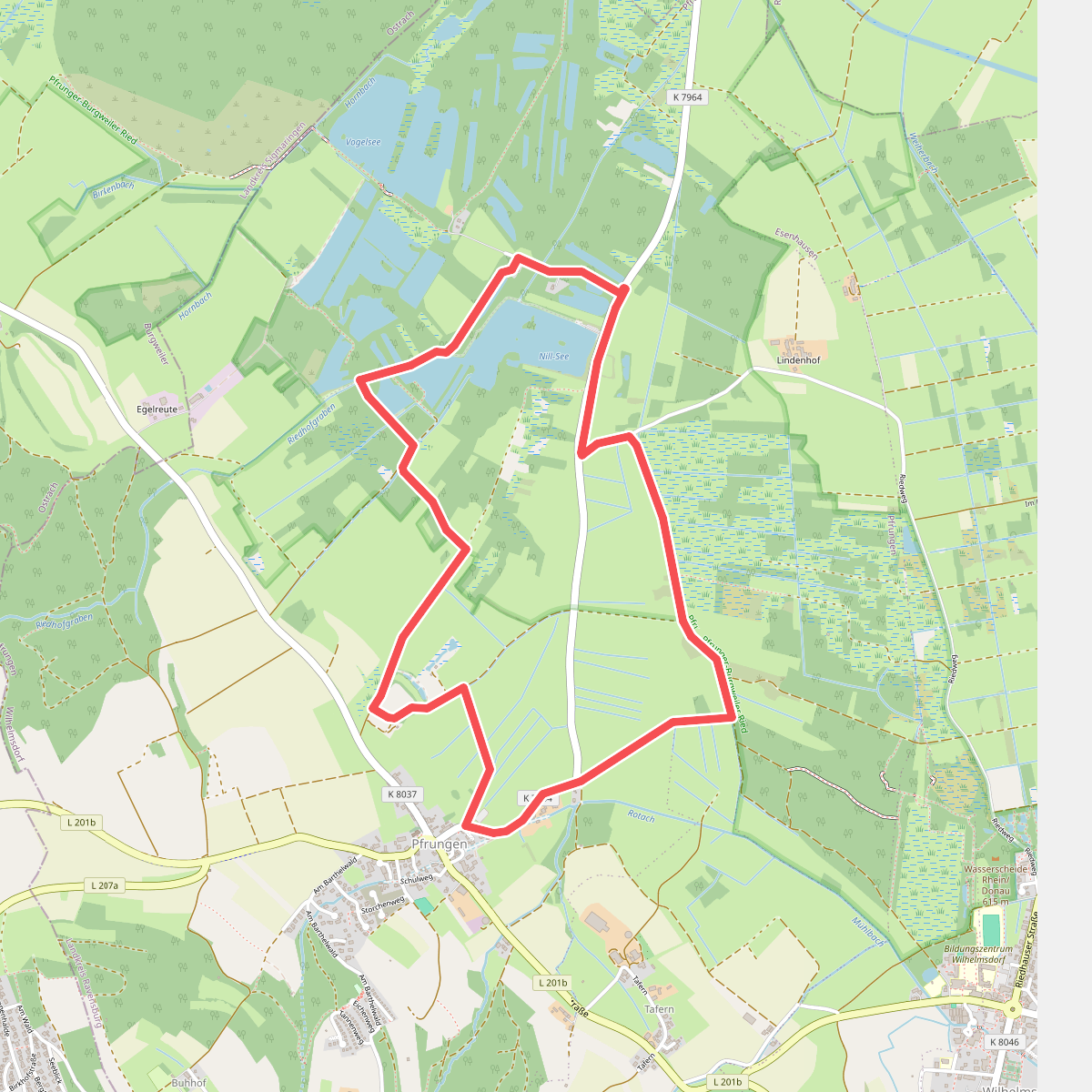
#9. Moorseen
Wilhelmsdorf
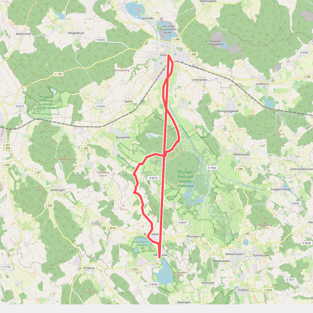
#10. Nebenlinie des SAV (blaues Plus)
Ostrach,Illmensee
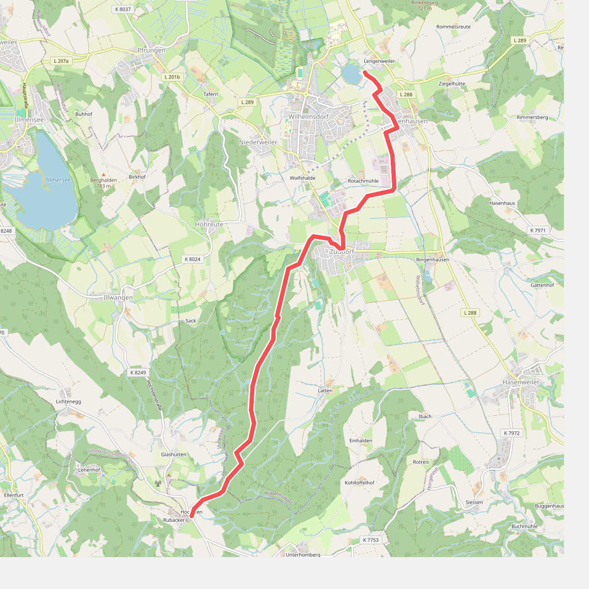
#11. Nebenweg des Schwäbischen Albvereins (blaues Kreuz)
Deggenhausertal,Wilhelmsdorf
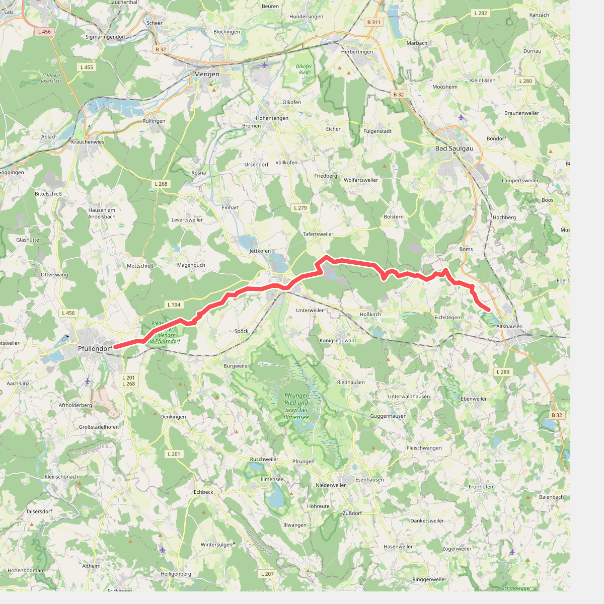
#12. Pfullingen - Altshausen
Pfullendorf,Ostrach,Hoßkirch,Eichstegen,Altshausen



