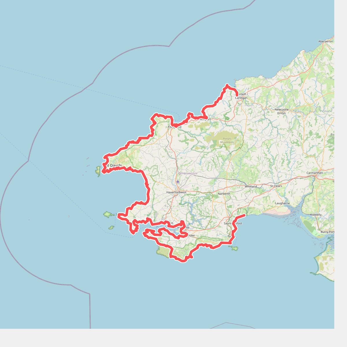
The best hiking routes in Pembrokeshire Coast National Park
Discover the best walks in Pembrokeshire Coast National Park. 20 routes on the map, with descriptions, photos and GPX.
About Pembrokeshire Coast National Park
Pembrokeshire Coast National Park is defined by its narrow, linear shape, hugging the southwestern edge of Wales. Unlike expansive inland wilderness areas, this park is almost entirely coastal, meaning your walks will follow the twists and turns of high sandstone and limestone cliffs rather than climbing high mountain peaks. The landscape is a working agricultural coastal strip, where sheep pastures and gorse-covered commons end abruptly at the cliff edge. You will notice how the prevailing salt spray keeps the clifftop vegetation low and scrubby, with stunted blackthorn and thrift clinging to the rock crevices.
Read more
About Pembrokeshire Coast National Park
Pembrokeshire Coast National Park is defined by its narrow, linear shape, hugging the southwestern edge of Wales. Unlike expansive inland wilderness areas, this park is almost entirely coastal, meaning your walks will follow the twists and turns of high sandstone and limestone cliffs rather than climbing high mountain peaks. The landscape is a working agricultural coastal strip, where sheep pastures and gorse-covered commons end abruptly at the cliff edge. You will notice how the prevailing salt spray keeps the clifftop vegetation low and scrubby, with stunted blackthorn and thrift clinging to the rock crevices.
Read morePembrokeshire Coast National Park is defined by its narrow, linear shape, hugging the southwestern edge of Wales. Unlike expansive inland wilderness areas, this park is almost entirely coastal, meaning your walks will follow the twists and turns of high sandstone and limestone cliffs rather than climbing high mountain peaks. The landscape is a working agricultural coastal strip, where sheep pastures and gorse-covered commons end abruptly at the cliff edge. You will notice how the prevailing salt spray keeps the clifftop vegetation low and scrubby, with stunted blackthorn and thrift clinging to the rock crevices.
Underfoot, the main trail consists of narrow, dirt-packed paths that can be uneven with exposed tree roots, slate steps, and occasional stiles. The terrain constantly changes elevation as the path drops down into steep-sided wooded valleys, known locally as coombes, only to climb immediately back up to the clifftops. In low-lying areas near estuaries like the Daugleddau, the path transitions to tidal mudflats and salt marshes where wooden boardwalks help you cross the softest ground. Sandy beaches, such as those at Whitesands or Broad Haven, offer firm sand walking at low tide but can become completely impassable at high water.
Choosing where to walk depends on your preference for exposure. The northern section between St Dogmaels and Newport offers rugged, high cliffs with demanding climbs and fewer escape routes. In contrast, the southern coastline around Tenby features softer limestone arches, sandy bays, and more frequent villages for shelter. In May, the clifftops are bright with pink thrift and sea campion, while the autumn months bring Atlantic grey seals to the secluded coves below to pup.
Hiking routes in Pembrokeshire Coast National Park (20)
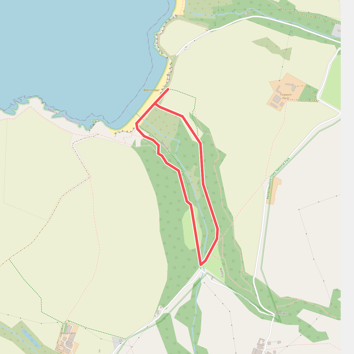
#1. Abermawr Woods and Beach Walk, Pembroke
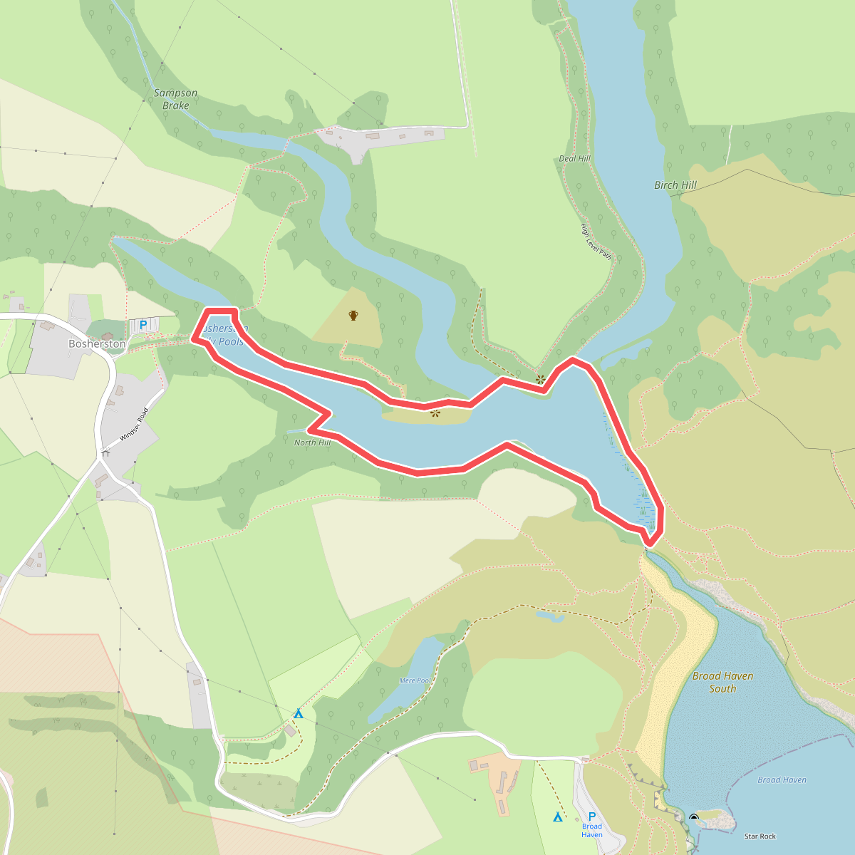
#2. Bosherton Lily Ponds Trail at Stackpole Estate, Stackpole
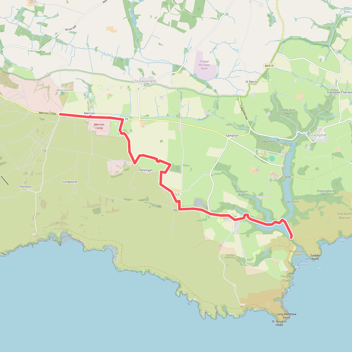
#3. Castlemartin Range Trail (East) Alternative
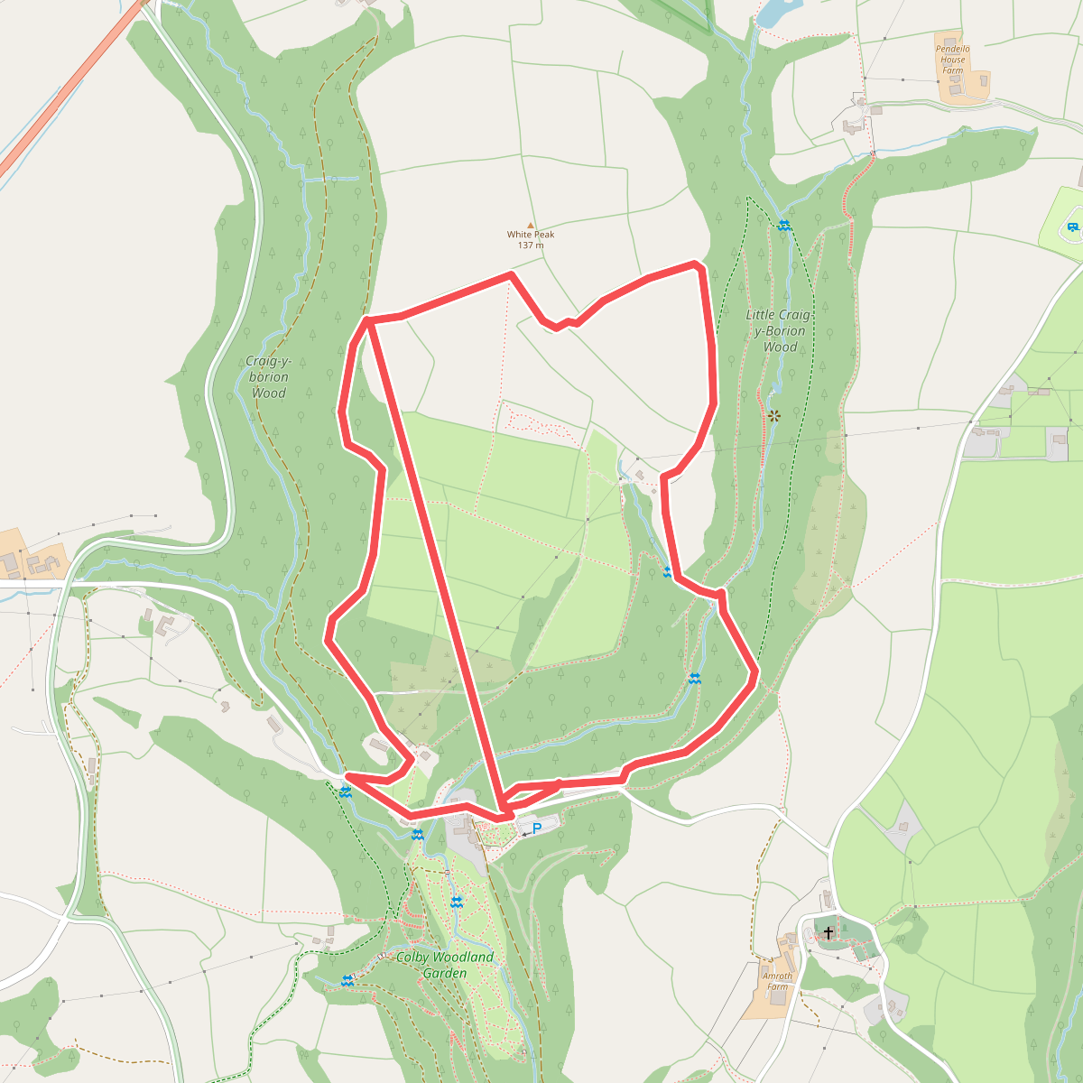
#4. Colby Estate Forest and Field Walk, Colby
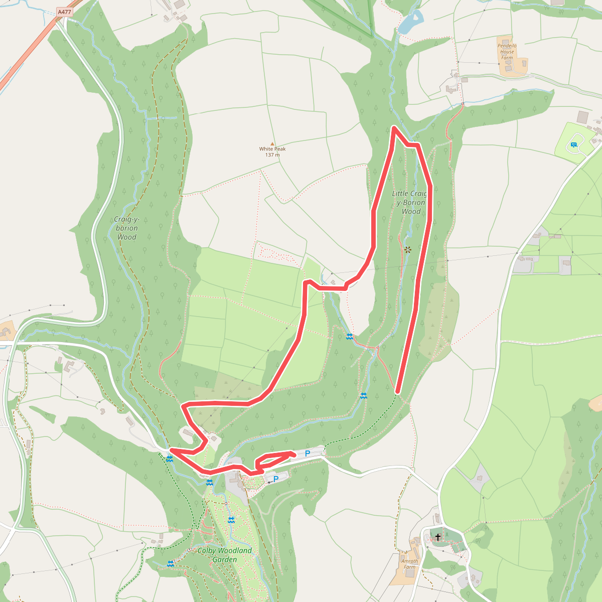
#5. Colby Estate Little Craig Y Borian Walk, Colby
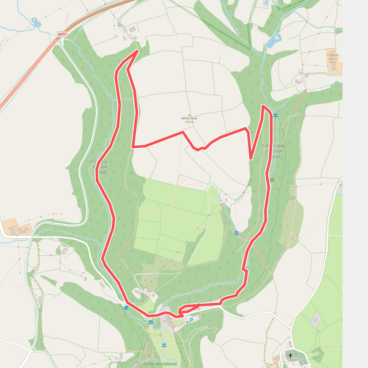
#6. Colby Estate Streamside Walk, Colby
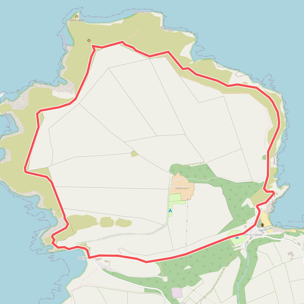
#7. DInas Island Circular Walk, Pembroke
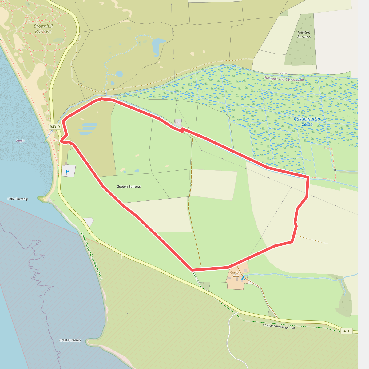
#8. Freshwater West Wildlife Walk, Stackpole
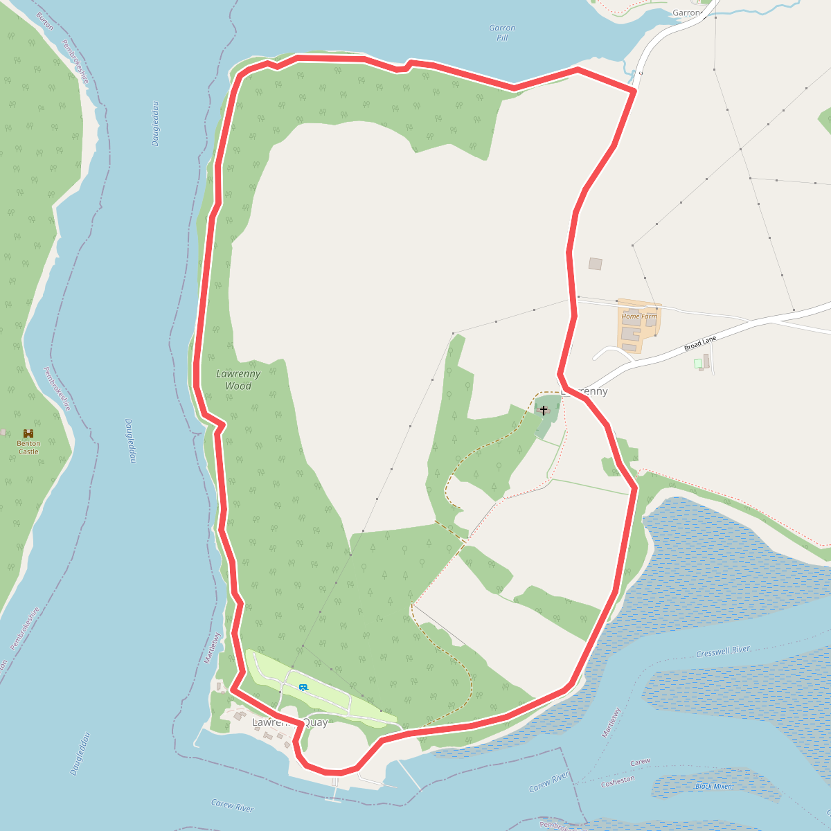
#9. Lawrenny Walk, Pembroke
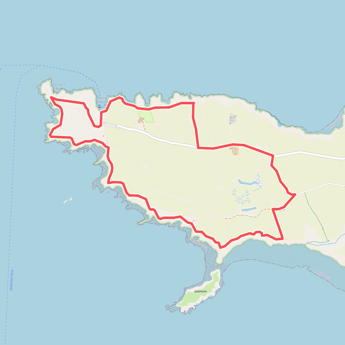
#10. Marloes Peninsula Coastal Walk, Pembroke
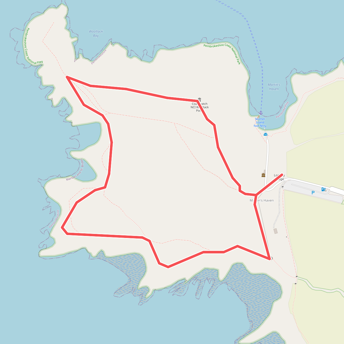
#11. Martins Haven - The Deer Park Walk, Pembroke