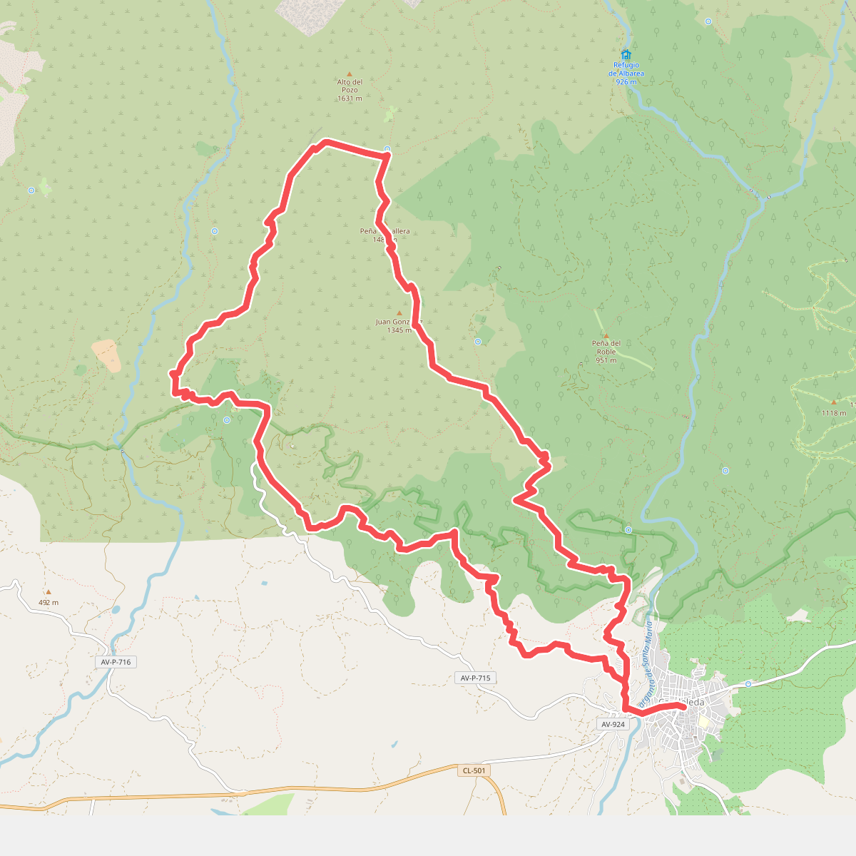
The best hiking routes in Parque Regional de la Sierra de Gredos
Discover the best walks in Parque Regional de la Sierra de Gredos. 24 routes on the map, with descriptions, photos and GPX.
About Parque Regional de la Sierra de Gredos
Parque Regional de la Sierra de Gredos is a high-altitude granite massif in central Spain, defined by steep glacial cirques, alpine meadows, and massive stone slabs. Unlike the softer, forested hills of the surrounding regions, this area is dominated by raw, grey rock and deep glacial lagoons like the Laguna Grande. Underfoot, you will mostly walk on rough, stony paths, ancient paved cattle tracks, and exposed granite bedrock that requires careful stepping.
Read more
About Parque Regional de la Sierra de Gredos
Parque Regional de la Sierra de Gredos is a high-altitude granite massif in central Spain, defined by steep glacial cirques, alpine meadows, and massive stone slabs. Unlike the softer, forested hills of the surrounding regions, this area is dominated by raw, grey rock and deep glacial lagoons like the Laguna Grande. Underfoot, you will mostly walk on rough, stony paths, ancient paved cattle tracks, and exposed granite bedrock that requires careful stepping.
Read moreParque Regional de la Sierra de Gredos is a high-altitude granite massif in central Spain, defined by steep glacial cirques, alpine meadows, and massive stone slabs. Unlike the softer, forested hills of the surrounding regions, this area is dominated by raw, grey rock and deep glacial lagoons like the Laguna Grande. Underfoot, you will mostly walk on rough, stony paths, ancient paved cattle tracks, and exposed granite bedrock that requires careful stepping.
As you ascend, the pine forests of the lower slopes quickly give way to open broom scrub and bare rock. This transition is marked by the presence of the Spanish ibex, which is frequently seen grazing on the steep cliffs. The landscape is shaped by ancient glaciers, leaving behind giant moraines and boulder fields that make navigation slow and demanding.
In May and June, the high meadows turn yellow with flowering broom, contrasting sharply with the remaining snow patches on the high peaks. This is a demanding mountain environment where paths are marked by stone cairns rather than clear dirt tracks. The main access points can become busy with mountaineers, but the higher, rocky shelves offer a stark, quiet alpine environment.
Hiking routes in Parque Regional de la Sierra de Gredos (24)
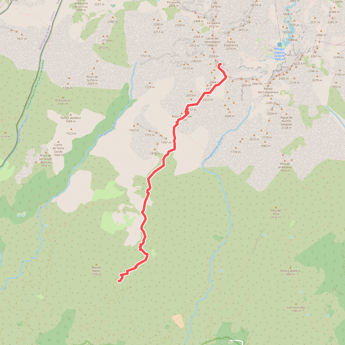
#1. Almanzor por el Camino del Tío Domingo
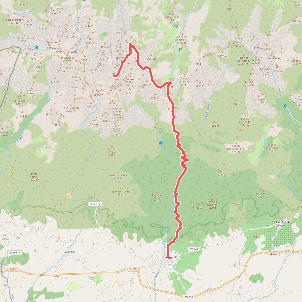
#2. Candeleda-Puerto de Candeleda-Laguna Grande
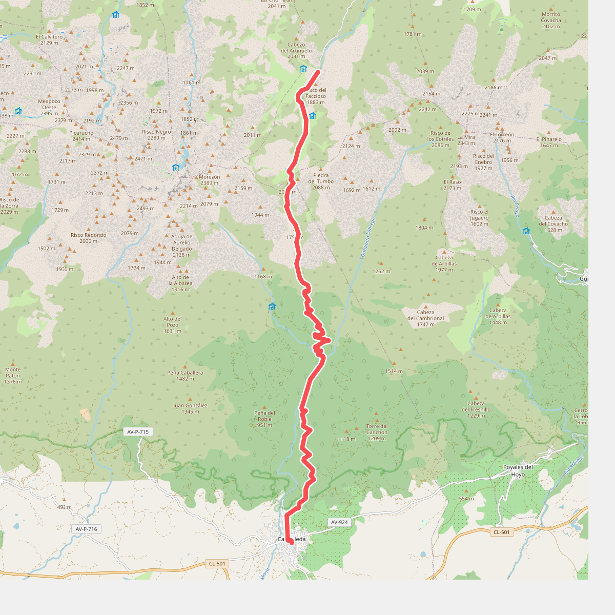
#3. Candeleda-Puerto de Candeleda-Plataforma
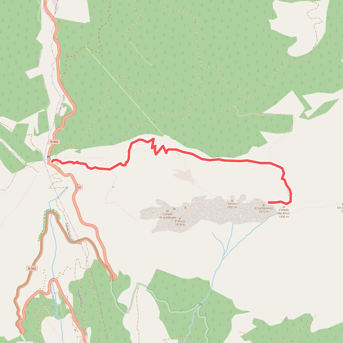
#4. El Torozo
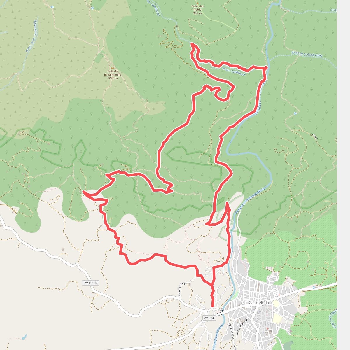
#5. La Raya-Arroyo de Castañarejo
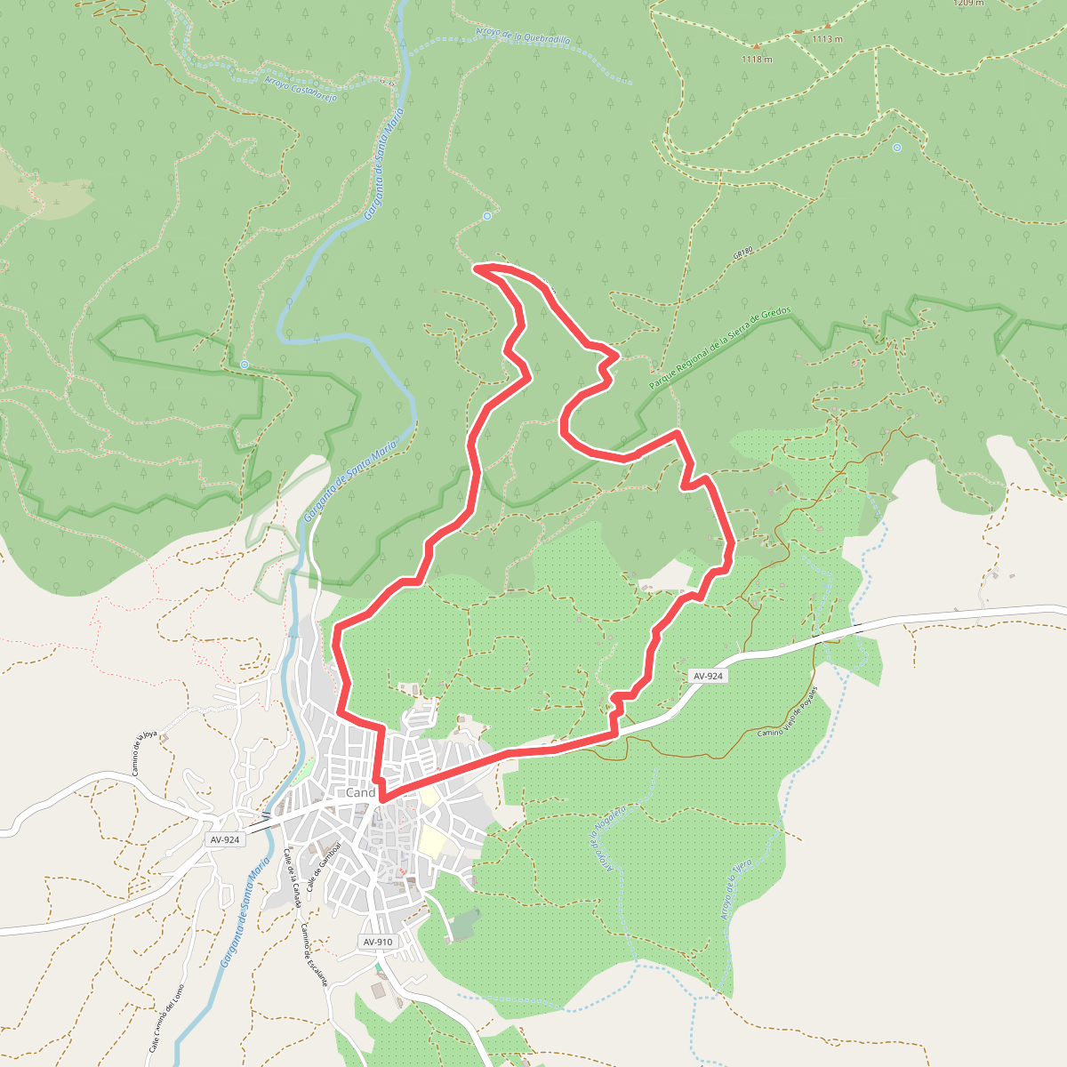
#6. La Tijera
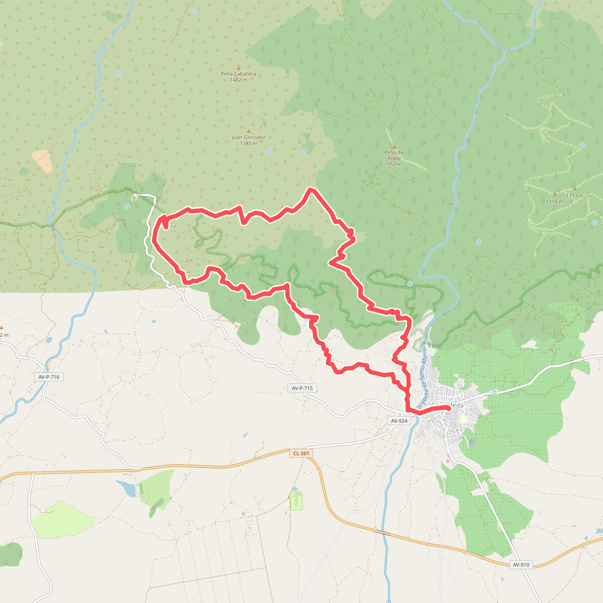
#7. Los Cabreros
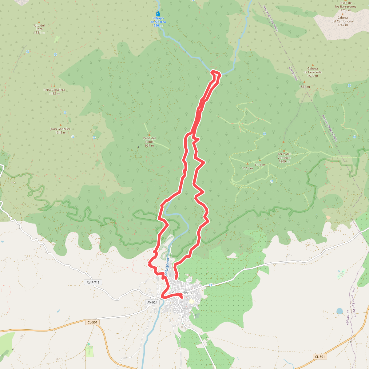
#8. Los Pescadores
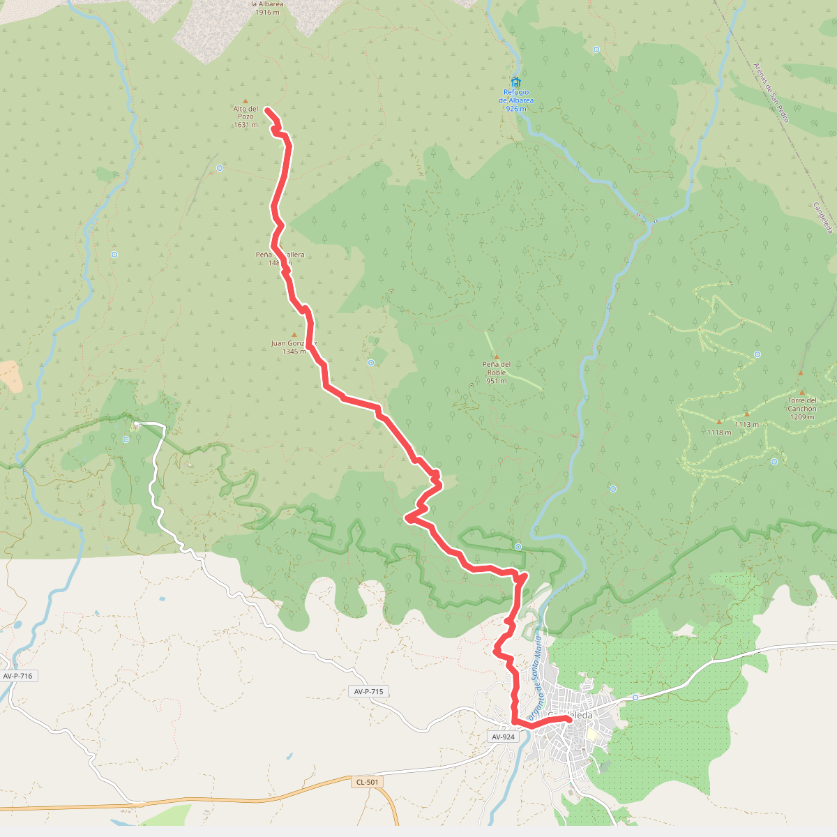
#9. Pozos del Tío Ruperto
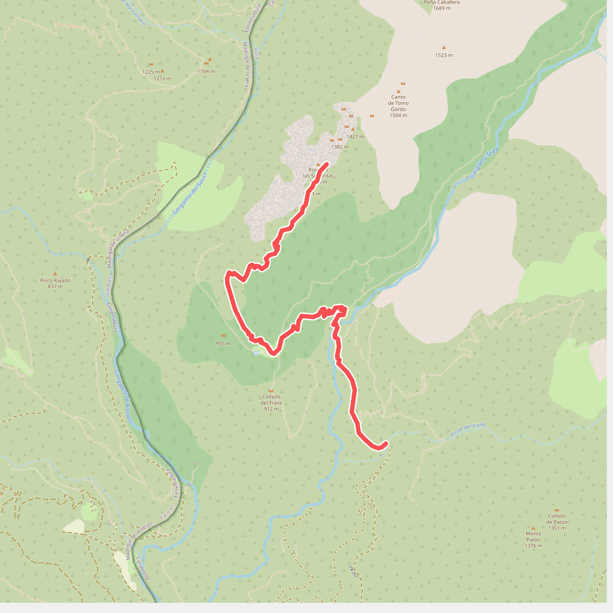
#10. Puente Pinillo-Hermanitos de Tejea
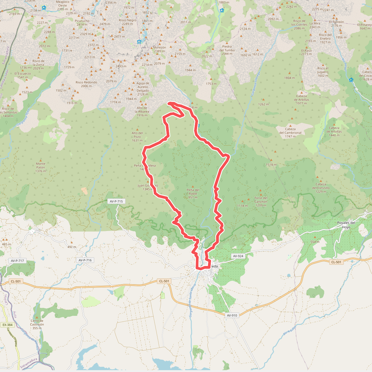
#11. Rituerta-Albarea-Puente del Puerto