

The best hiking routes in Parque Natural Sierra de Tejeda, Almijara y Alhama
Discover the best walks in Parque Natural Sierra de Tejeda, Almijara y Alhama. 30 routes on the map, with descriptions, photos and GPX.
Managed by Junta de Andalucía
About Parque Natural Sierra de Tejeda, Almijara y Alhama
The Parque Natural Sierra de Tejeda, Almijara y Alhama is a vast, rugged limestone barrier rising steeply behind the eastern Costa del Sol. Unlike the softer, red sandstone hills found in other parts of Andalusia, this terrain is defined by pale, jagged marble and dolomite ridges that can appear almost snow-covered even in midsummer. Walkers should expect sharp elevation changes, deep ravines, and dry, stony barrancos rather than gentle, rolling meadows. Underfoot, the paths are dominated by loose limestone scree, rough gravel, and crumbling white sand that requires sturdy footwear and careful stepping.
Read more
About Parque Natural Sierra de Tejeda, Almijara y Alhama
The Parque Natural Sierra de Tejeda, Almijara y Alhama is a vast, rugged limestone barrier rising steeply behind the eastern Costa del Sol. Unlike the softer, red sandstone hills found in other parts of Andalusia, this terrain is defined by pale, jagged marble and dolomite ridges that can appear almost snow-covered even in midsummer. Walkers should expect sharp elevation changes, deep ravines, and dry, stony barrancos rather than gentle, rolling meadows. Underfoot, the paths are dominated by loose limestone scree, rough gravel, and crumbling white sand that requires sturdy footwear and careful stepping.
Read moreThe Parque Natural Sierra de Tejeda, Almijara y Alhama is a vast, rugged limestone barrier rising steeply behind the eastern Costa del Sol. Unlike the softer, red sandstone hills found in other parts of Andalusia, this terrain is defined by pale, jagged marble and dolomite ridges that can appear almost snow-covered even in midsummer. Walkers should expect sharp elevation changes, deep ravines, and dry, stony barrancos rather than gentle, rolling meadows. Underfoot, the paths are dominated by loose limestone scree, rough gravel, and crumbling white sand that requires sturdy footwear and careful stepping.
As you walk through the park, the vegetation reflects a stark contrast between the dry, exposed southern slopes facing the Mediterranean and the greener, wetter northern aspects of the Alhama sector. The lower elevations are dominated by dense rosemary, gorse, and resilient Aleppo pines, which gradually give way to maritime and Scots pines higher up. You will notice how the trees become wind-stunted and sparse near the exposed ridges, such as the summit of La Maroma, where only specialized alpine plants survive in the rocky crevices.
Water is a key feature that shapes your route choice here. The southern Almijara slopes are largely arid, where walks follow dry riverbeds like the Río Chíllar, requiring wading through shallow water between towering canyon walls. In contrast, the northern Alhama side offers gentler approaches with fertile agricultural borders and rushing streams. This is a demanding landscape of steep climbs and loose rock, where shade is scarce on the high ridges and navigation relies on spotting stone cairns along the rough mountain tracks.
Hiking routes in Parque Natural Sierra de Tejeda, Almijara y Alhama (30)
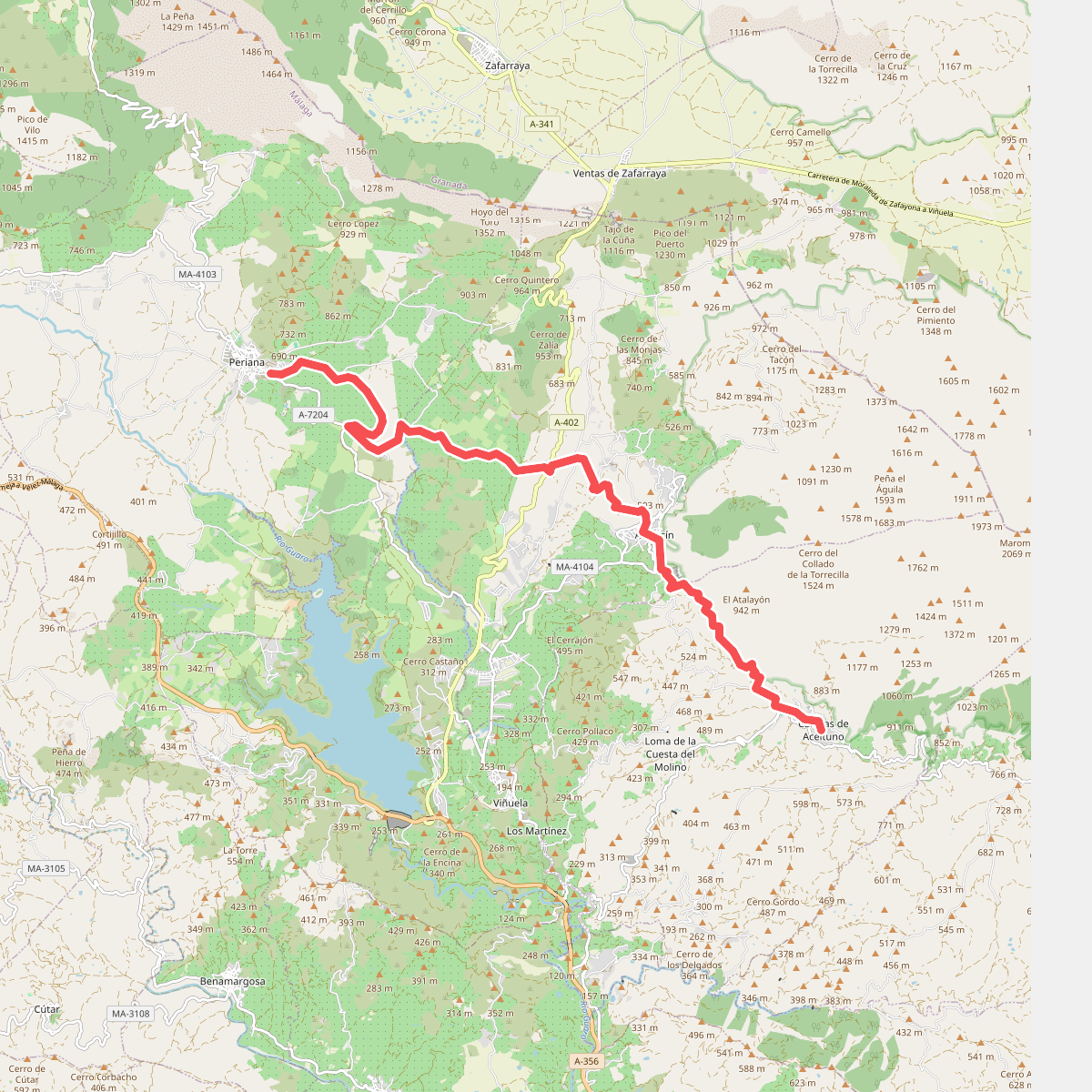
#1. Canillas de Aceituno - Perina
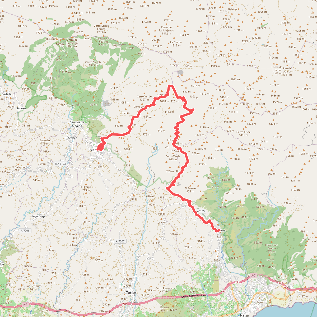
#2. Frigiliana - Cómpeta
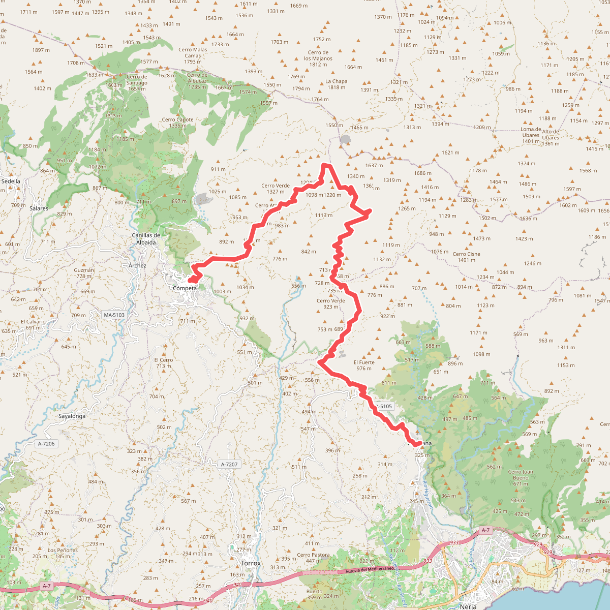
#3. GR 242 - Cómpeta - Frigiliana
Cómpeta,Canillas de Albaida,Frigiliana
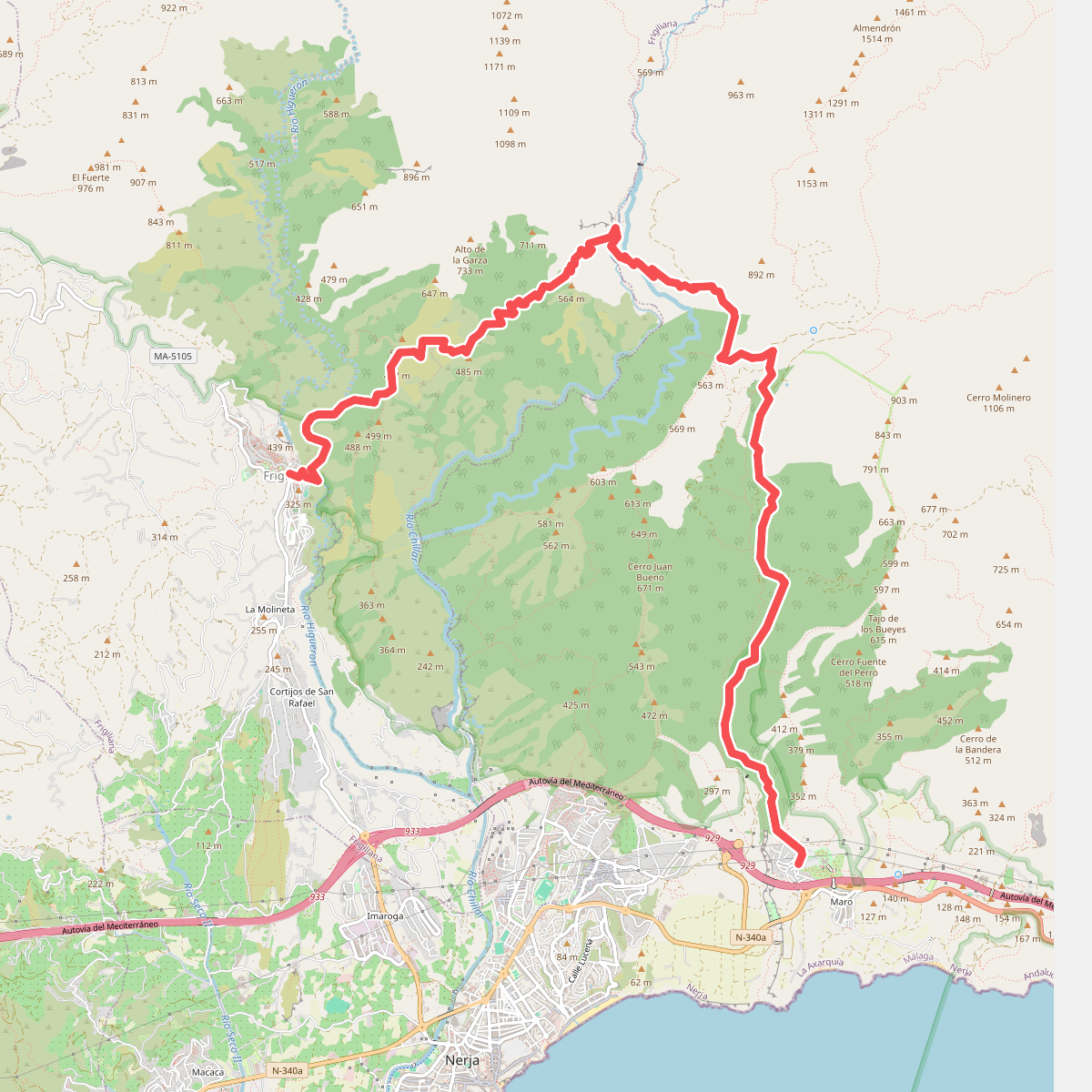
#4. GR 242 - Frigiliana - Nerja
Frigiliana,Nerja
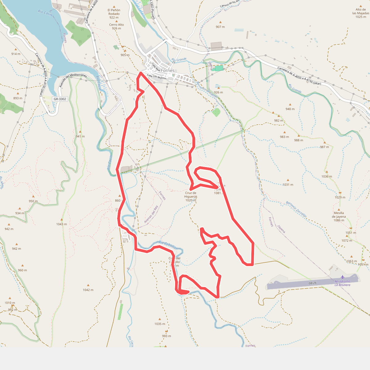
#5. La Resinera
Fornes,Arenas del Rey
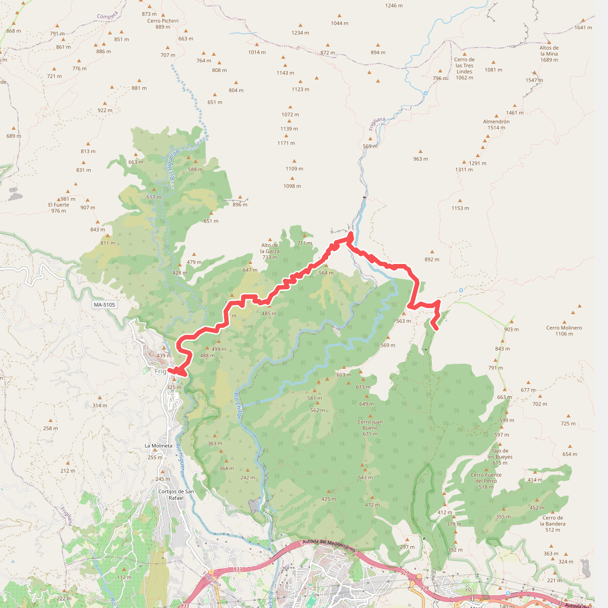
#6. Nerja - Frigiliana
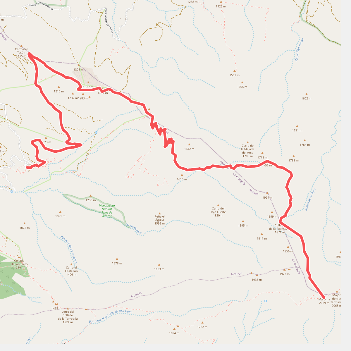
#7. PR-A 352 Alcázar - La Maroma
Alcaucín,Alhama de Granada
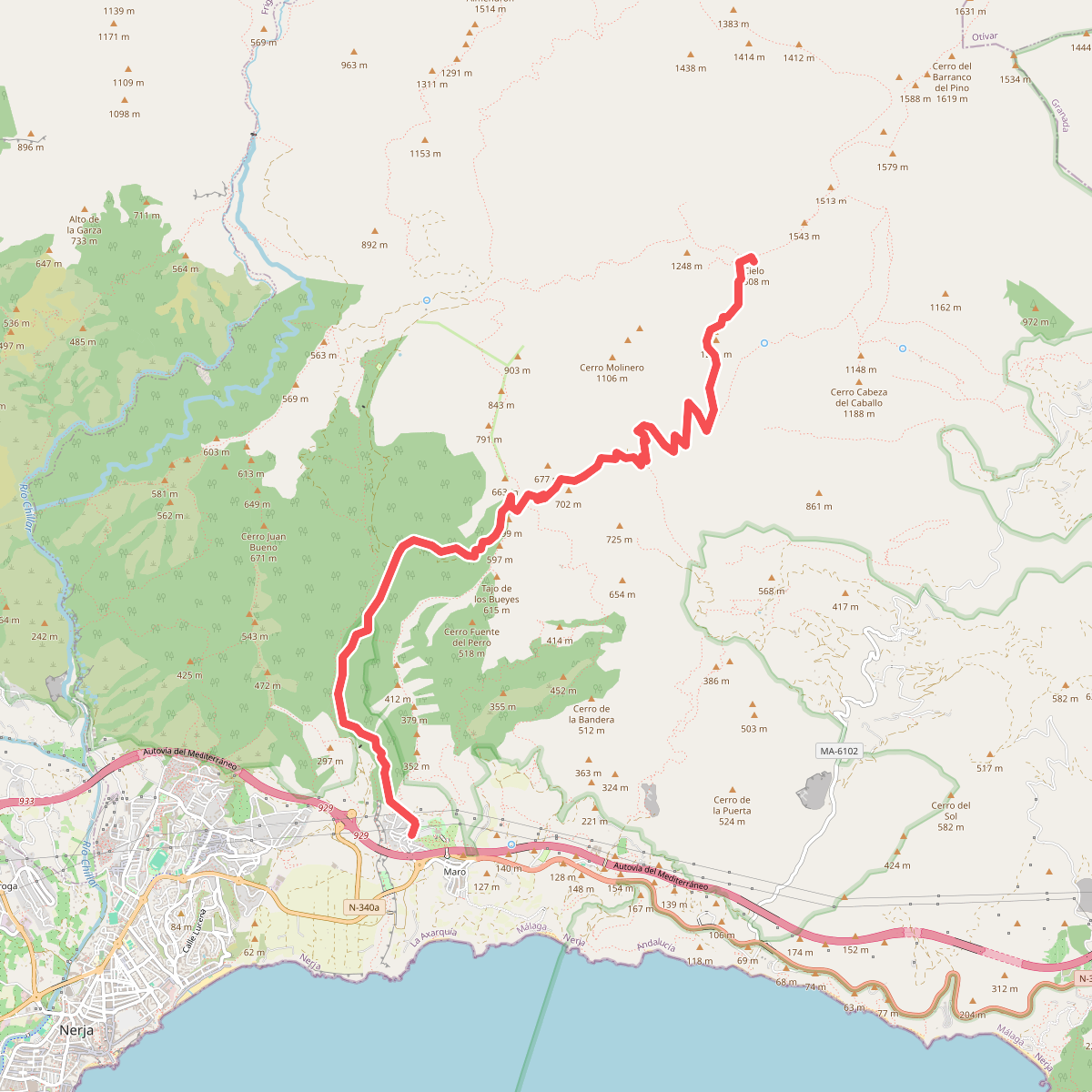
#8. PR-A 477 Pico del Cielo
Nerja
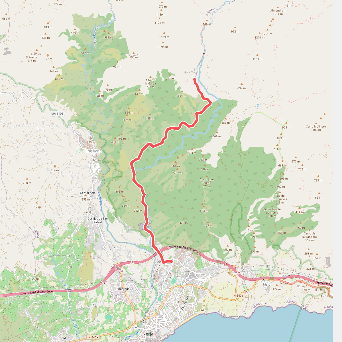
#9. Rio Chillar
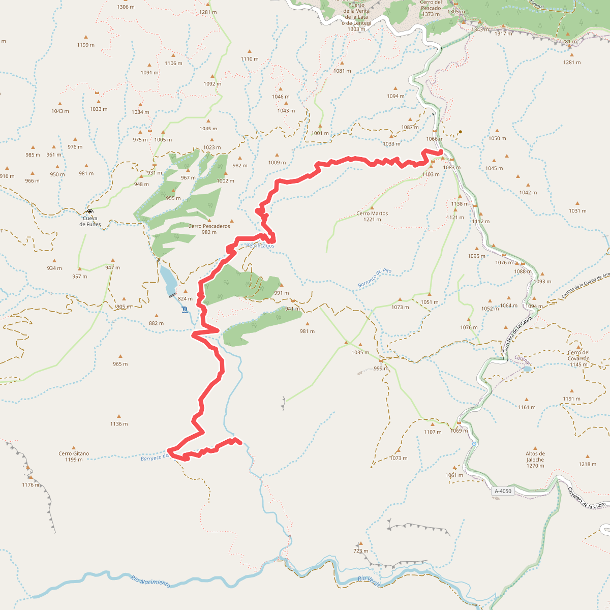
#10. Río Verde
Otívar
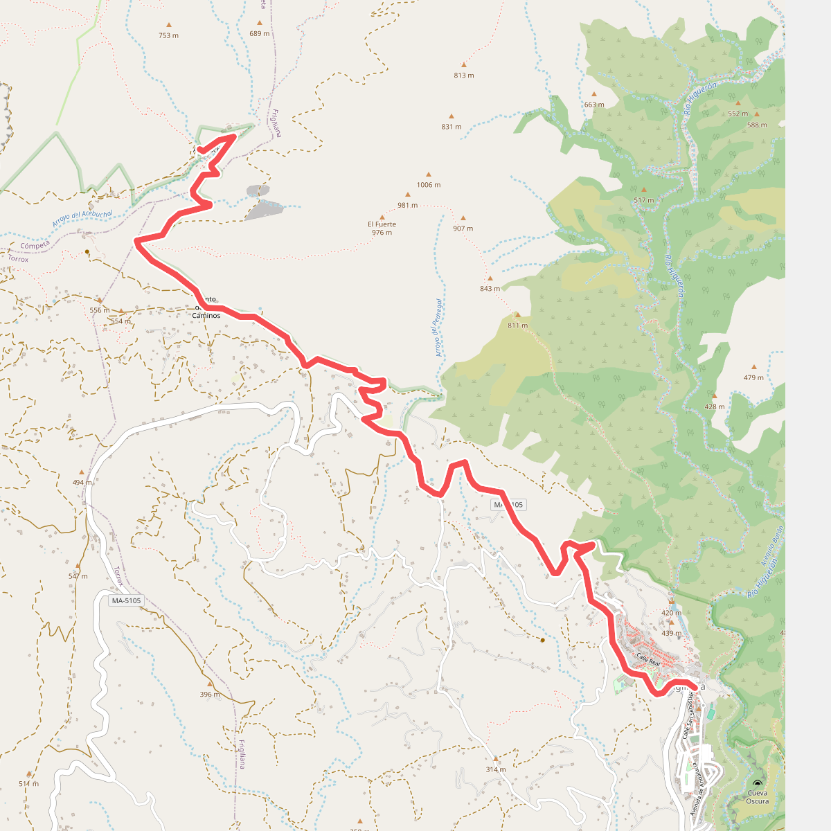
#11. Ruta Acebuchal
Frigiliana,Cómpeta
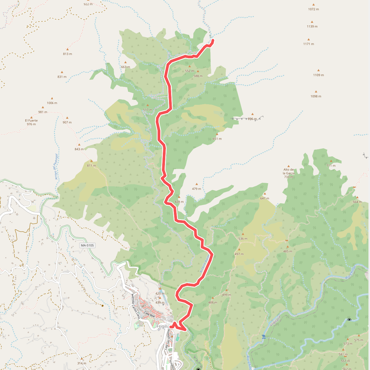
#12. Ruta al Cóncar
Frigiliana



