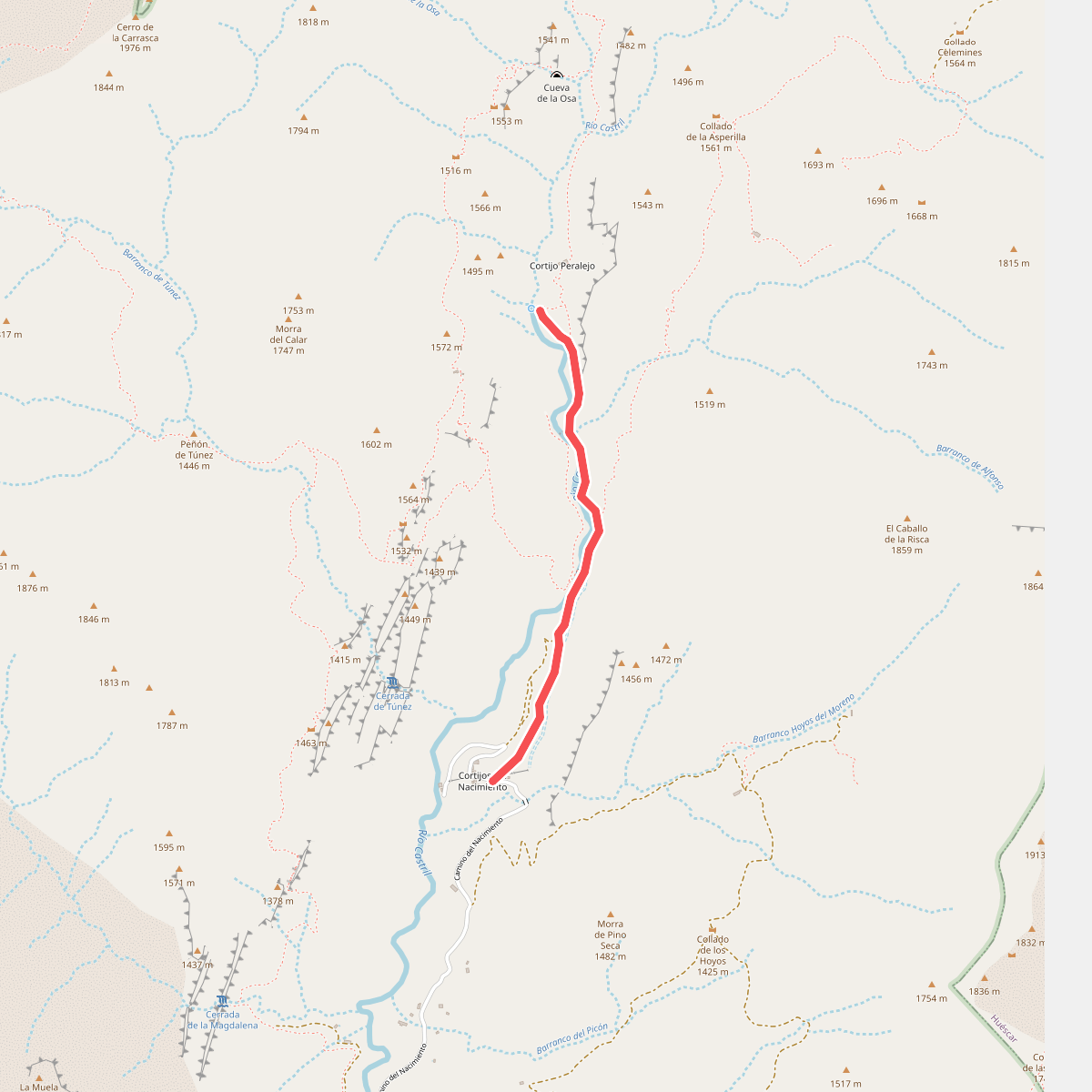
The best hiking routes in Parque Natural Sierra de Castril
Discover the best walks in Parque Natural Sierra de Castril. 11 routes on the map, with descriptions, photos and GPX.
Managed by Junta de Andalucía
About Parque Natural Sierra de Castril
Parque Natural Sierra de Castril is defined by its dramatic limestone geology, where water has carved deep canyons and sheer cliffs out of the rock. Unlike the gentler, rolling hills found in other parts of Andalucia, this park presents a vertical landscape of steep crags, scree slopes, and deep ravines. The Castril River, fed by subterranean aquifers, runs through the heart of the area, creating a stark contrast between the lush, green vegetation along the riverbed and the dry, barren rock faces above.
Read more
About Parque Natural Sierra de Castril
Parque Natural Sierra de Castril is defined by its dramatic limestone geology, where water has carved deep canyons and sheer cliffs out of the rock. Unlike the gentler, rolling hills found in other parts of Andalucia, this park presents a vertical landscape of steep crags, scree slopes, and deep ravines. The Castril River, fed by subterranean aquifers, runs through the heart of the area, creating a stark contrast between the lush, green vegetation along the riverbed and the dry, barren rock faces above.
Read moreParque Natural Sierra de Castril is defined by its dramatic limestone geology, where water has carved deep canyons and sheer cliffs out of the rock. Unlike the gentler, rolling hills found in other parts of Andalucia, this park presents a vertical landscape of steep crags, scree slopes, and deep ravines. The Castril River, fed by subterranean aquifers, runs through the heart of the area, creating a stark contrast between the lush, green vegetation along the riverbed and the dry, barren rock faces above.
Walkers can choose between two distinct terrain types. Lower trails often follow the river basin, where wooden boardwalks pinned to canyon walls and dirt tracks lead through willow and poplar groves. In contrast, ascending into the higher limestone zones requires navigating steep, stony paths over loose scree and bare rock, where the vegetation thins out to tough, low-growing scrub and high-mountain pines. These upper routes demand careful footwork and offer a rugged, exposed mountain environment.
The park is smaller and generally less crowded than its massive neighbor, Sierra de Cazorla, making it a quieter alternative for those seeking raw geological formations. While the spectacular gorge walk near the town of Castril is popular and well-equipped with footbridges, the higher limestone karst areas remain demanding and isolated. Visitors should expect steep gradients and rough, stony ground underfoot rather than gentle, manicured forest paths.
Hiking routes in Parque Natural Sierra de Castril (11)
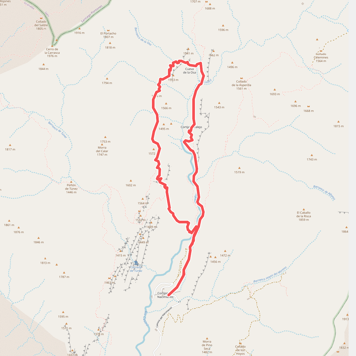
#1. Barranco de la Osa
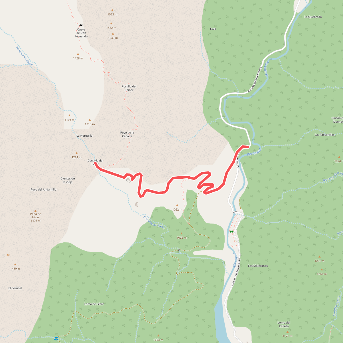
#2. Cerrada de Lézar
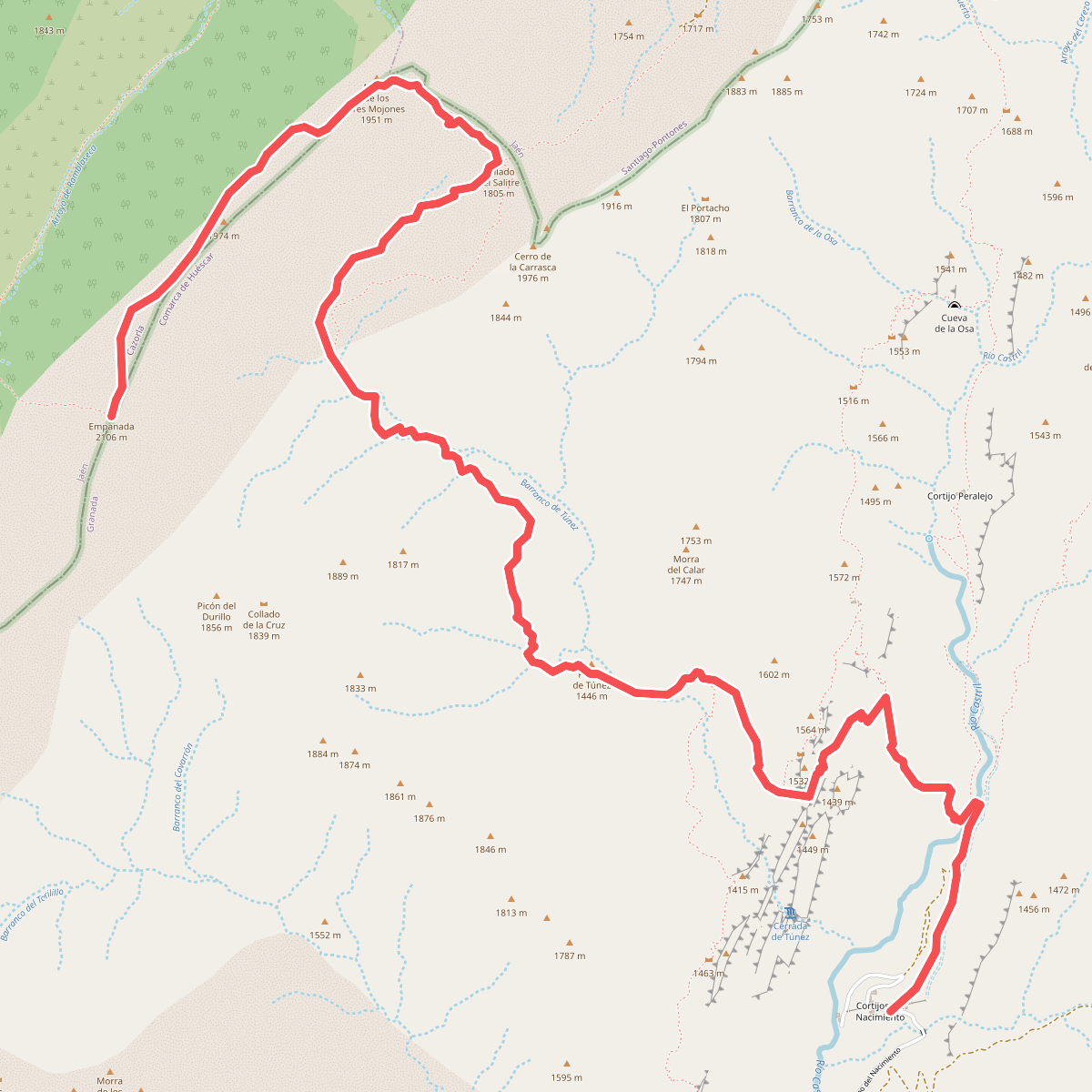
#3. Cerro de la Empanada
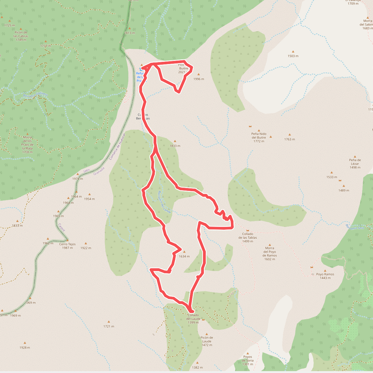
#4. Cerro del Buitre
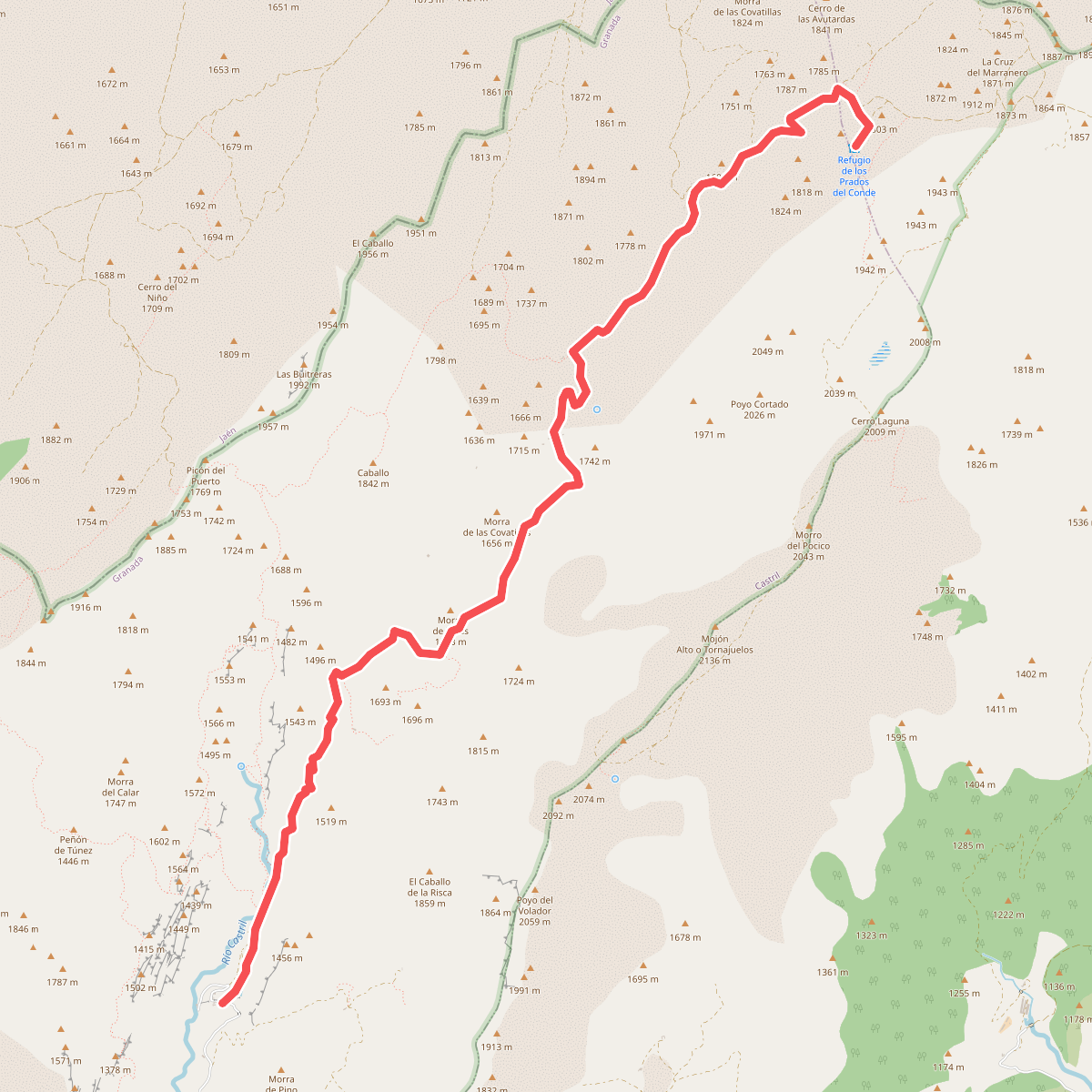
#5. Cortijo del Nacimiento - Prados del Conde
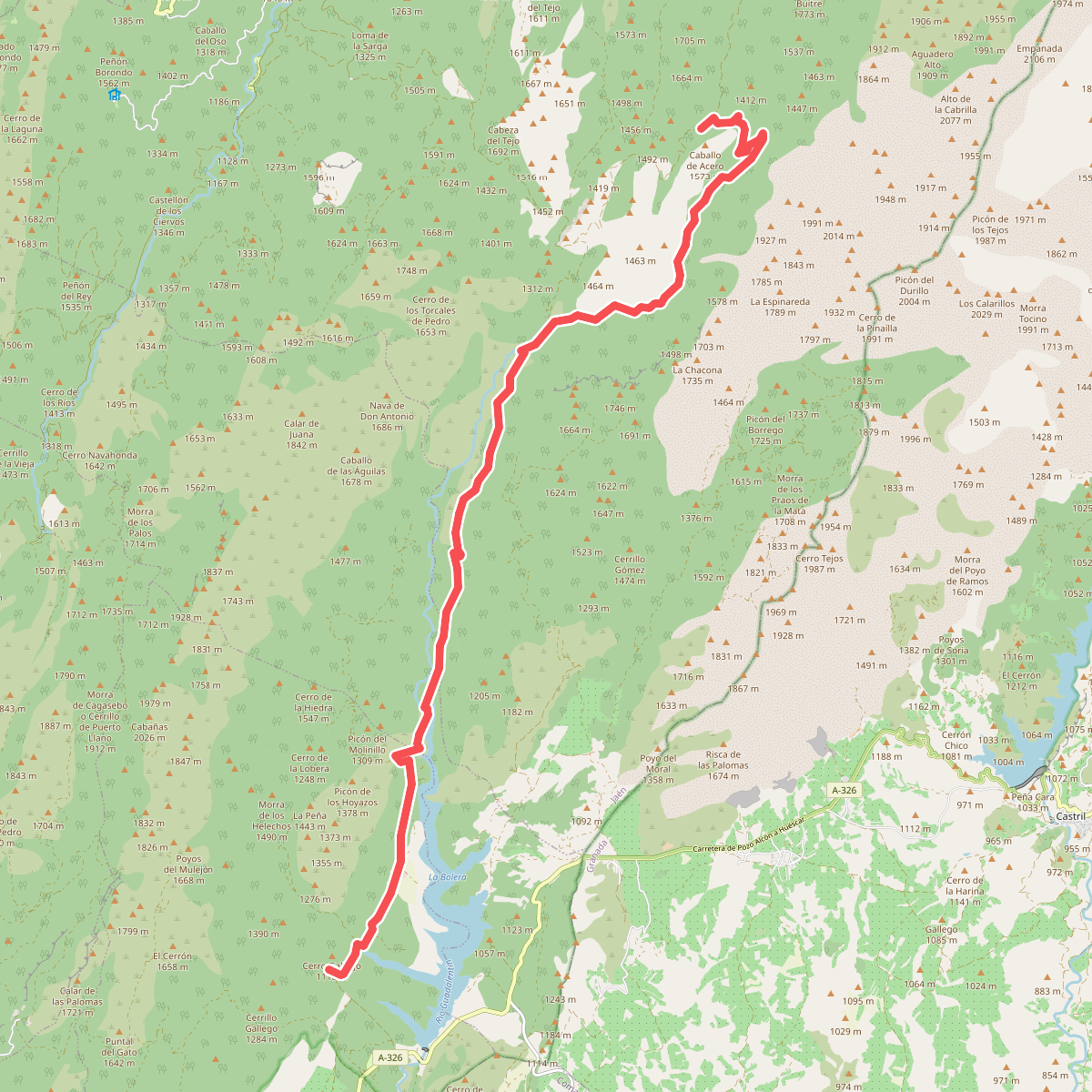
#6. GR 247 Bosques del Sur · GR 247
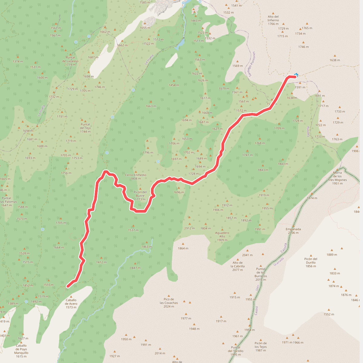
#7. GR 247 Bosques del Sur · GR 247
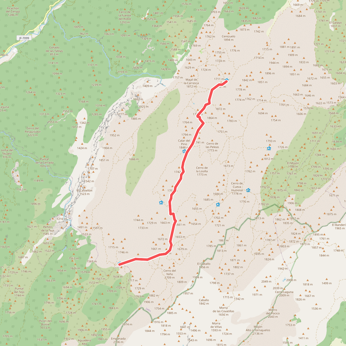
#8. GR 247 Bosques del Sur · GR 247
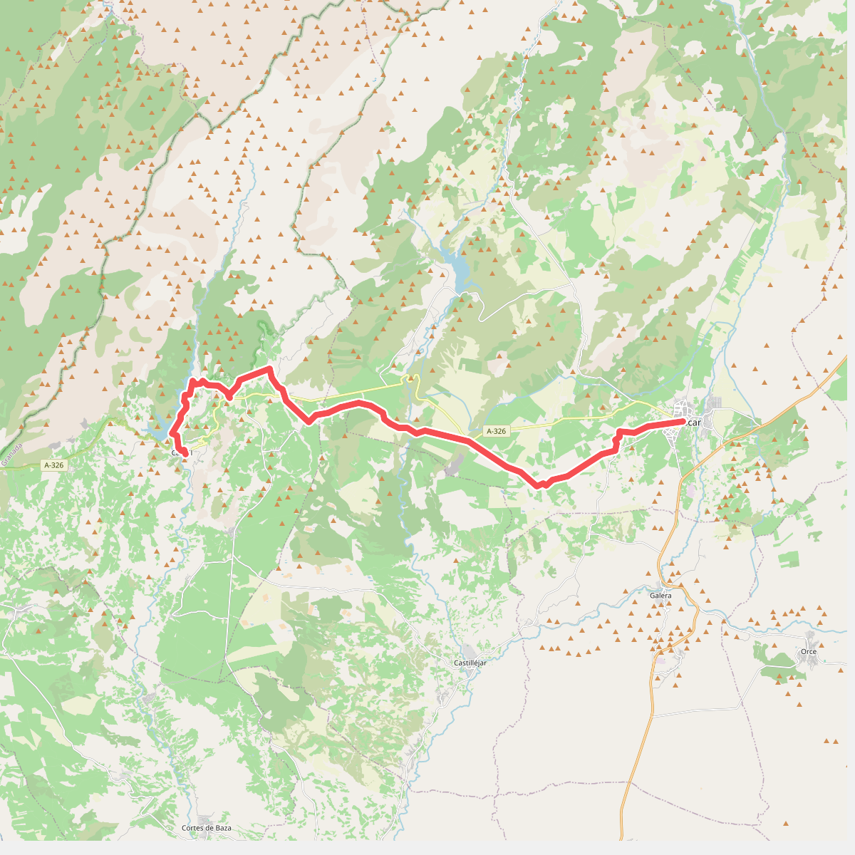
#9. Gran Senda Primeros Pobladores (1/6)
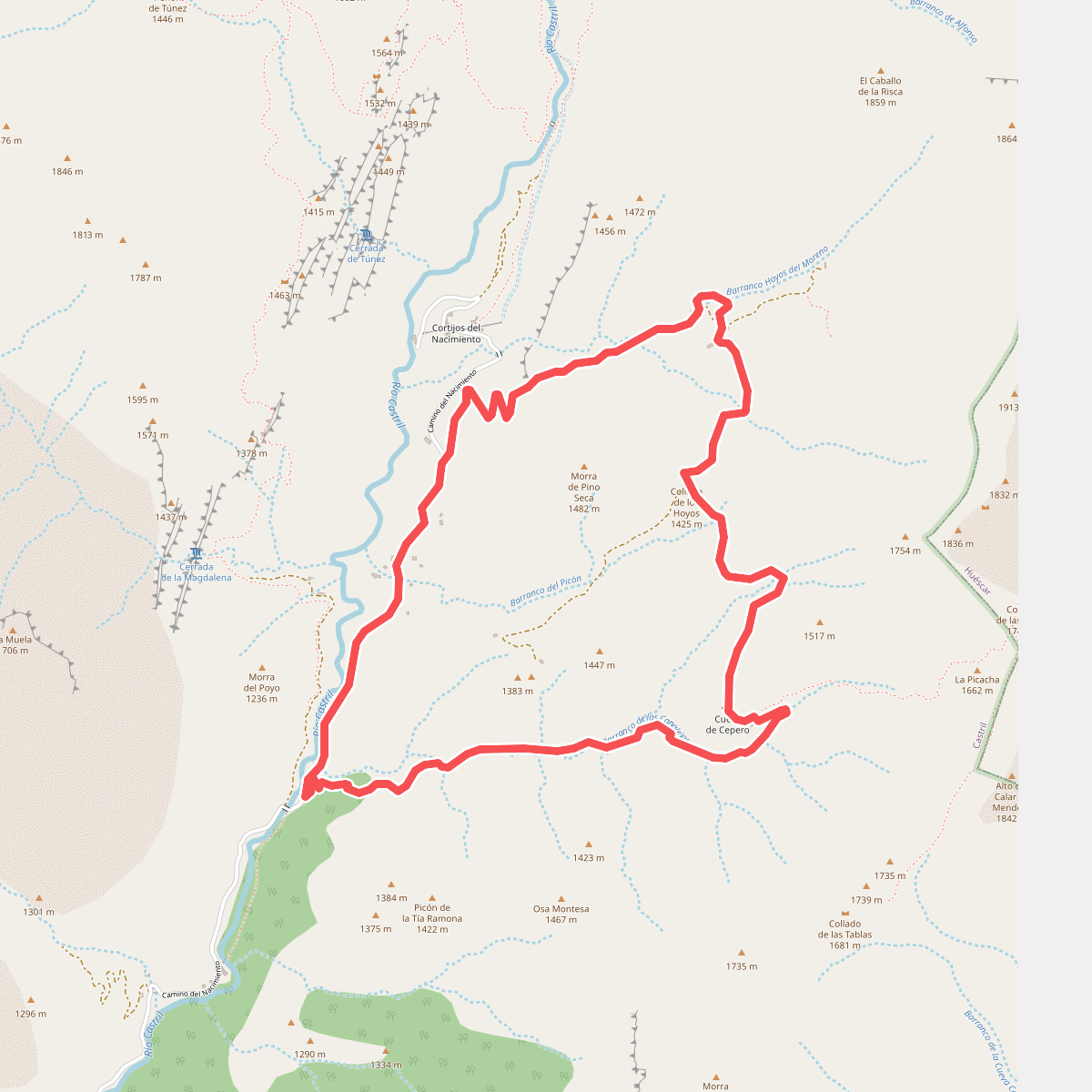
#10. Hoyos de Moreno - Barranco Canalejas