The best hiking routes in Parque Natural Monte Aloia
Discover the best walks in Parque Natural Monte Aloia. 5 routes on the map, with descriptions, photos and GPX.
Managed by Xunta de Galicia
About Parque Natural Monte Aloia
Parque Natural Monte Aloia occupies a steep, granite hill rising above the Louro valley in southern Galicia. The landscape is defined by its dramatic rock formations, massive granite boulders, and a dense, varied forest canopy. Unlike the surrounding lowlands, the slopes here are heavily forested with a mix of native oaks, sweet chestnuts, and large stands of introduced pine and eucalyptus trees. Walking here means navigating a network of dirt tracks, stone-paved paths, and occasional steep, rocky steps that require careful footing.
Read more
About Parque Natural Monte Aloia
Parque Natural Monte Aloia occupies a steep, granite hill rising above the Louro valley in southern Galicia. The landscape is defined by its dramatic rock formations, massive granite boulders, and a dense, varied forest canopy. Unlike the surrounding lowlands, the slopes here are heavily forested with a mix of native oaks, sweet chestnuts, and large stands of introduced pine and eucalyptus trees. Walking here means navigating a network of dirt tracks, stone-paved paths, and occasional steep, rocky steps that require careful footing.
Read moreParque Natural Monte Aloia occupies a steep, granite hill rising above the Louro valley in southern Galicia. The landscape is defined by its dramatic rock formations, massive granite boulders, and a dense, varied forest canopy. Unlike the surrounding lowlands, the slopes here are heavily forested with a mix of native oaks, sweet chestnuts, and large stands of introduced pine and eucalyptus trees. Walking here means navigating a network of dirt tracks, stone-paved paths, and occasional steep, rocky steps that require careful footing.
The vegetation changes noticeably with elevation and exposure. The lower slopes feature dense woodland shade, while the higher ridges open up into areas of low-lying gorse, heather, and exposed granite slabs. Water is a constant presence, with small streams cutting through the hillsides, often channeled into stone fonts or running alongside the paths. The underfoot conditions are generally firm, consisting of packed earth, pine needle carpets, and bare rock, though some sections can be uneven due to exposed tree roots and loose stones.
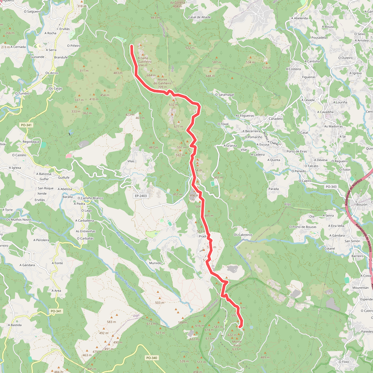
This is a compact, managed natural area rather than a wild, untouched wilderness. A network of dirt roads and walking trails crisscrosses the hill, leading to several stone chapels, lookout points, and picnic areas. While the lower forest tracks offer gentle gradients, reaching the higher viewpoints requires climbing sustained, moderate inclines. The park is well-frequented by local walkers, particularly around the main recreational areas, but the narrower side trails through the oak groves offer a quieter, more enclosed forest experience.