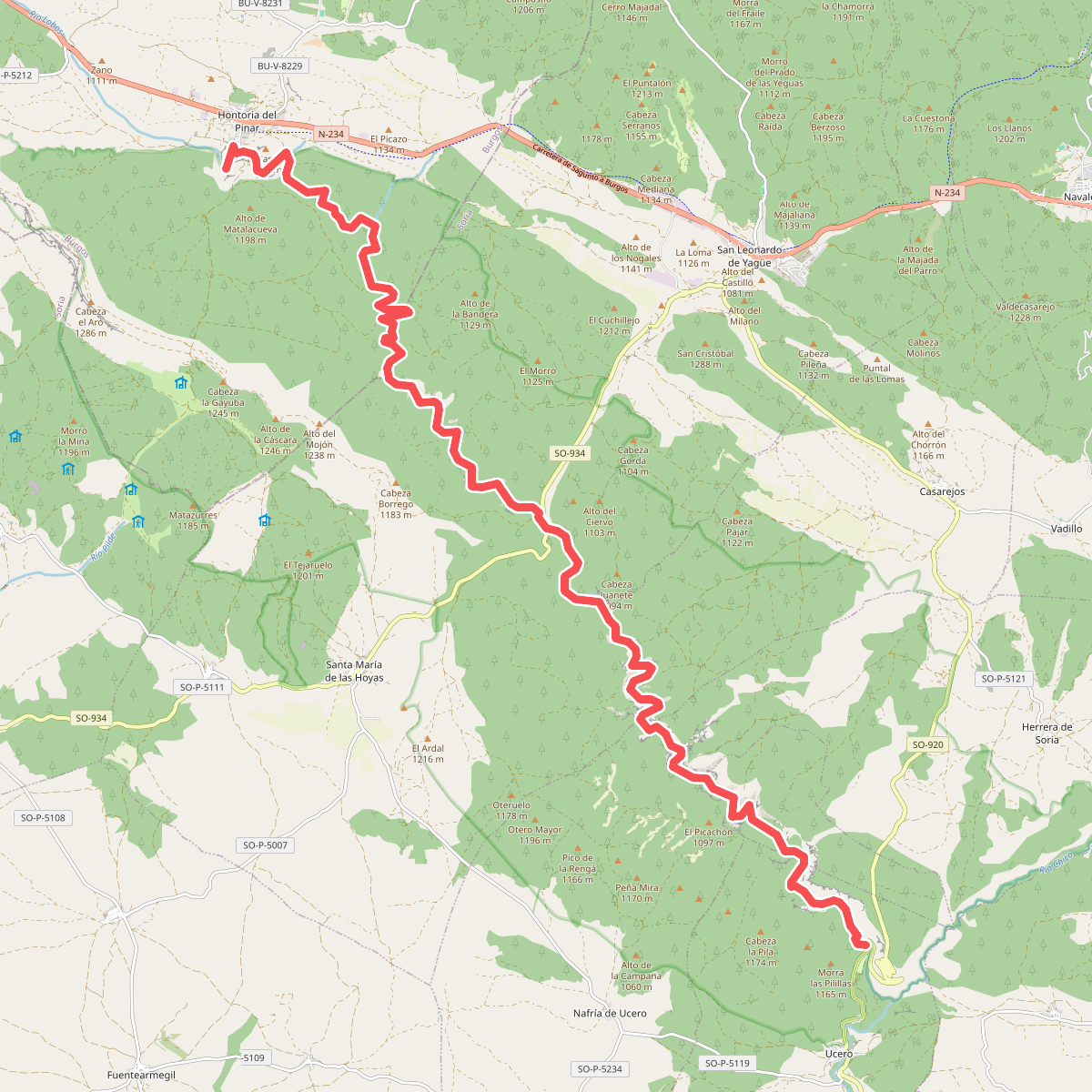
The best hiking routes in Parque Natural del Cañón del Río Lobos
Discover the best walks in Parque Natural del Cañón del Río Lobos. 6 routes on the map, with descriptions, photos and GPX.
About Parque Natural del Cañón del Río Lobos
Parque Natural del Cañón del Río Lobos is defined by a deep limestone canyon carved by the Río Lobos, where steep vertical cliffs of orange and grey stone rise directly from the valley floor. Walkers can choose between the flat, easy-going dirt tracks that follow the riverbed or the steep, rocky paths that ascend to the canyon rims. The valley floor features lush riparian vegetation, poplars, and willows, contrasting sharply with the dry, Mediterranean scrub and juniper trees on the high, exposed limestone pavements above.
Read more
About Parque Natural del Cañón del Río Lobos
Parque Natural del Cañón del Río Lobos is defined by a deep limestone canyon carved by the Río Lobos, where steep vertical cliffs of orange and grey stone rise directly from the valley floor. Walkers can choose between the flat, easy-going dirt tracks that follow the riverbed or the steep, rocky paths that ascend to the canyon rims. The valley floor features lush riparian vegetation, poplars, and willows, contrasting sharply with the dry, Mediterranean scrub and juniper trees on the high, exposed limestone pavements above.
Read moreParque Natural del Cañón del Río Lobos is defined by a deep limestone canyon carved by the Río Lobos, where steep vertical cliffs of orange and grey stone rise directly from the valley floor. Walkers can choose between the flat, easy-going dirt tracks that follow the riverbed or the steep, rocky paths that ascend to the canyon rims. The valley floor features lush riparian vegetation, poplars, and willows, contrasting sharply with the dry, Mediterranean scrub and juniper trees on the high, exposed limestone pavements above.
Underfoot, the main valley path is mostly wide, packed earth and gravel, though it requires crossing the river at several points via stepping stones or simple wooden footbridges. In dry periods, sections of the riverbed disappear underground into the karst network, leaving dry gravel stretches, while other parts remain filled with water lilies. The limestone walls are highly fractured, showing caves, natural arches, and active nesting sites for griffon vultures, which are easily spotted from the path.
The area around the Ermita de San Bartolomé is a well-known focal point and tends to be busier, but walking further along the canyon floor leads to much quieter stretches. This is a sheltered canyon landscape, not an open mountain range with wide horizons or high peaks. Walkers should expect enclosed, shaded gorge environments that open up occasionally into wider, sun-baked meadows.
Hiking routes in Parque Natural del Cañón del Río Lobos (6)
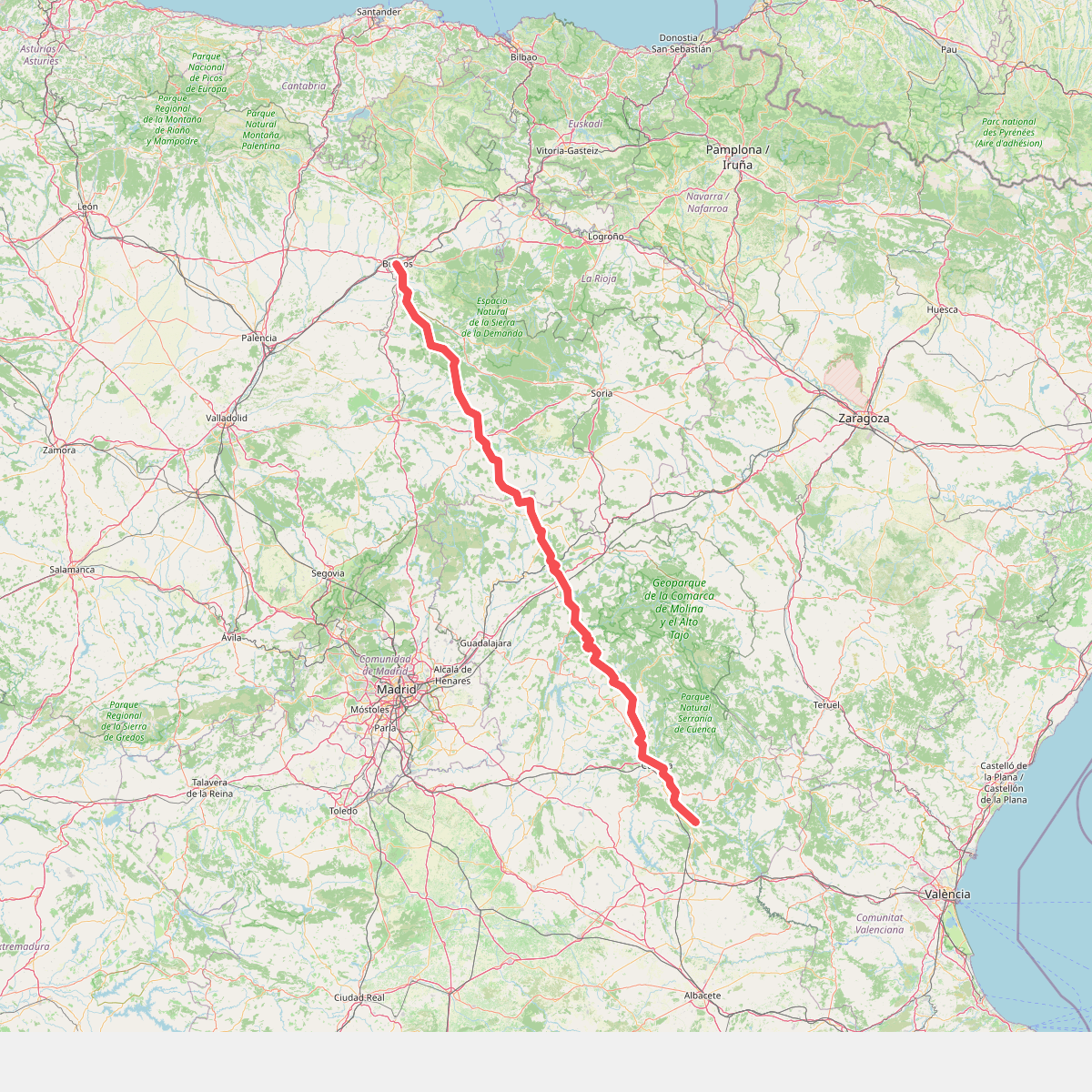
#1. Camino de Santiago de la Lana.Senderista
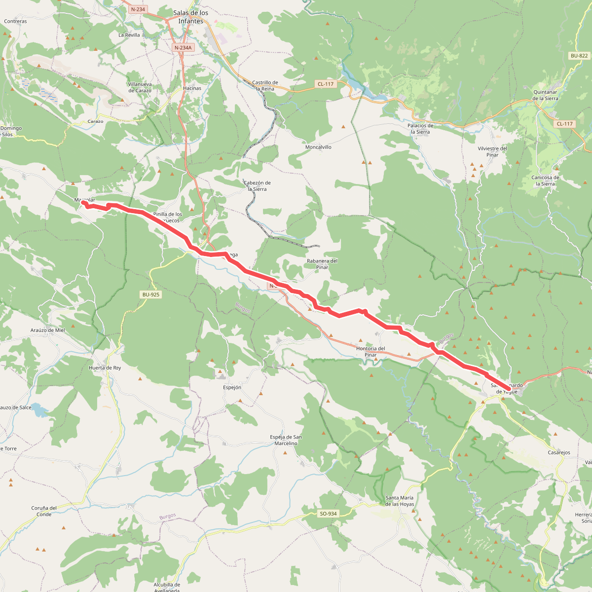
#2. Camino Jacobeo Castellano-Aragonés: San Leonardo de Yagüe-Mamolar
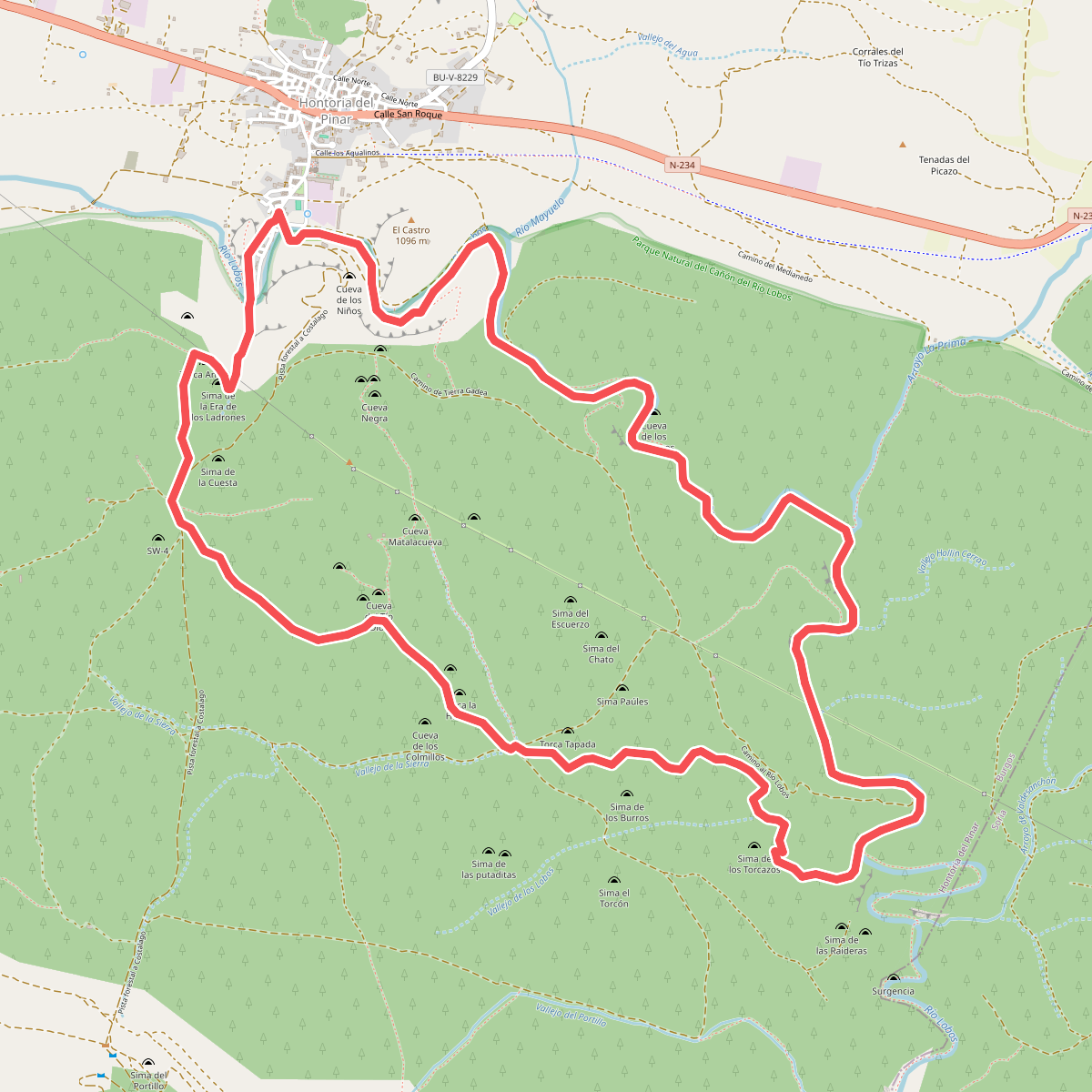
#3. Senda de Hontoria
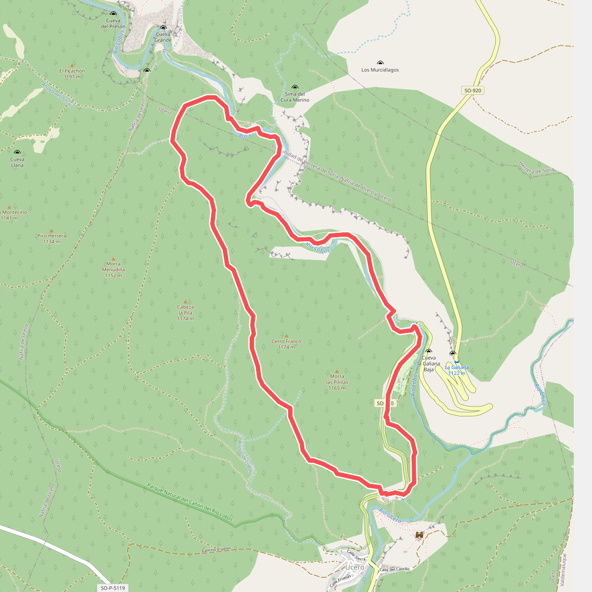
#4. Senda de las Gullurías
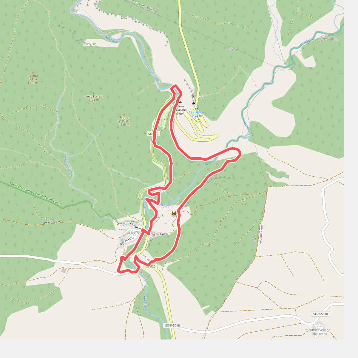
#5. Senda del Castillo